
Birmingham has rebuilt itself again and again. A great deal of the past is under the pavement.
Read more about Lost Birmingham
Matthew Boulton’s Soho Manufactory employed hundreds of people. It was gone by 1863, and its remains lie under houses and gardens in Handsworth. James Watt’s home at Heathfield was pulled down in 1927–28. John Baskerville’s house at Easy Hill was burned in the riots of 1791, and the land is now Centenary Square. The Upper Priory, where one of the first cotton-spinning mills worked in the 1740s, was swept away in the 1960s for a ring road.
Some went in a night, like the houses burned in 1791. Most went slowly, as works closed, estates were sold off for housing and roads were driven through.
Lost Birmingham is not about mourning. It is about finding out what was there. Each entry says what stood on the site, when it was built and lost, why it went (clearance, war, roads, redevelopment or fire), what replaced it and what, if anything, survives. We say how sure we are of each location, and old Ordnance Survey maps let you compare then with now.
New entries are being researched and added, including places in Kingstanding, Oscott and Perry Barr. If you have a photograph or a memory of a lost building, we would like to hear from you.
Start exploring
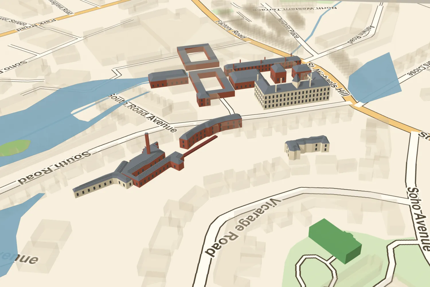

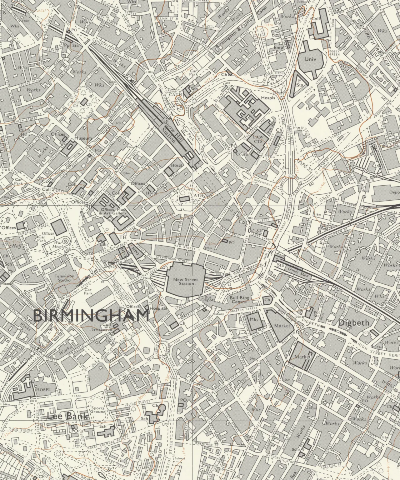
What used to be here? The map →When they were lostDiscover a lost place at random
Gough Map detail: Bodleian Libraries, University of Oxford, CC BY-NC-SA 3.0.
Collections
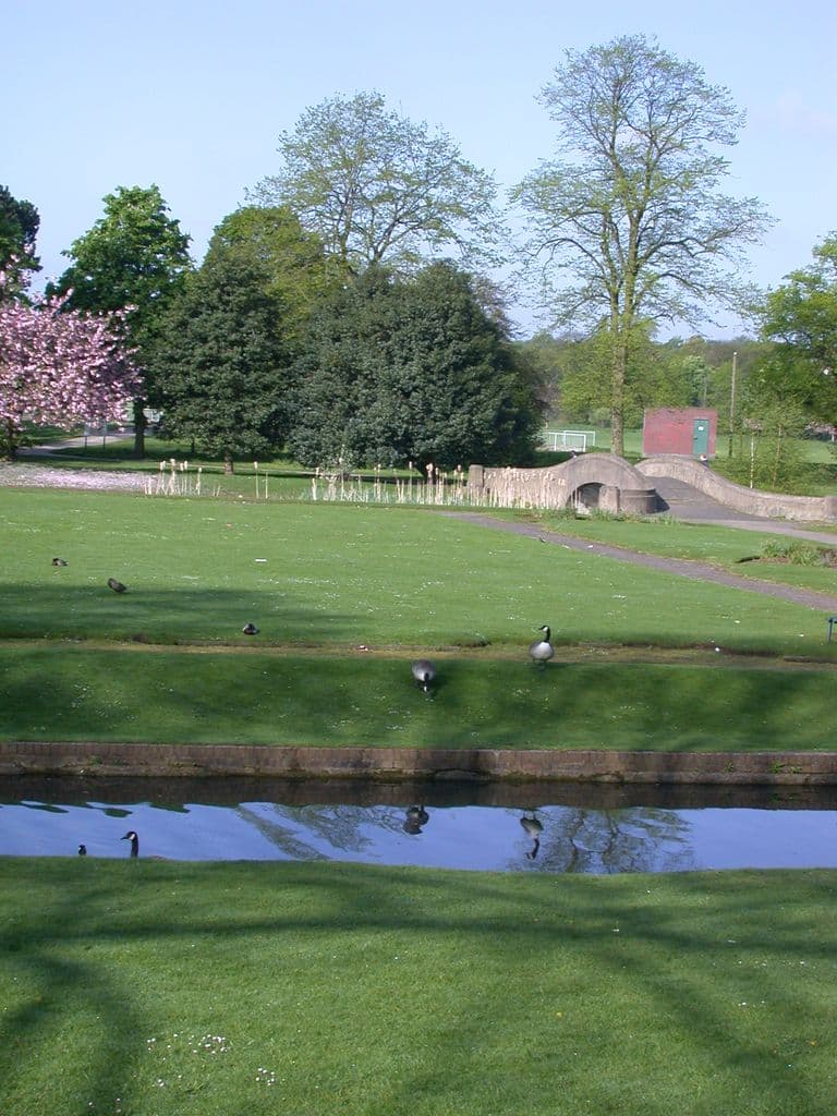 Lost houses and estatesThe houses of Birmingham’s lords, bishops and industrialists, and the estates around them: moated manors at Erdington and Perry Barr, Pugin’s Bishop’s House, Baskerville’s Easy Hill and Watt’s Heathfield Hall.
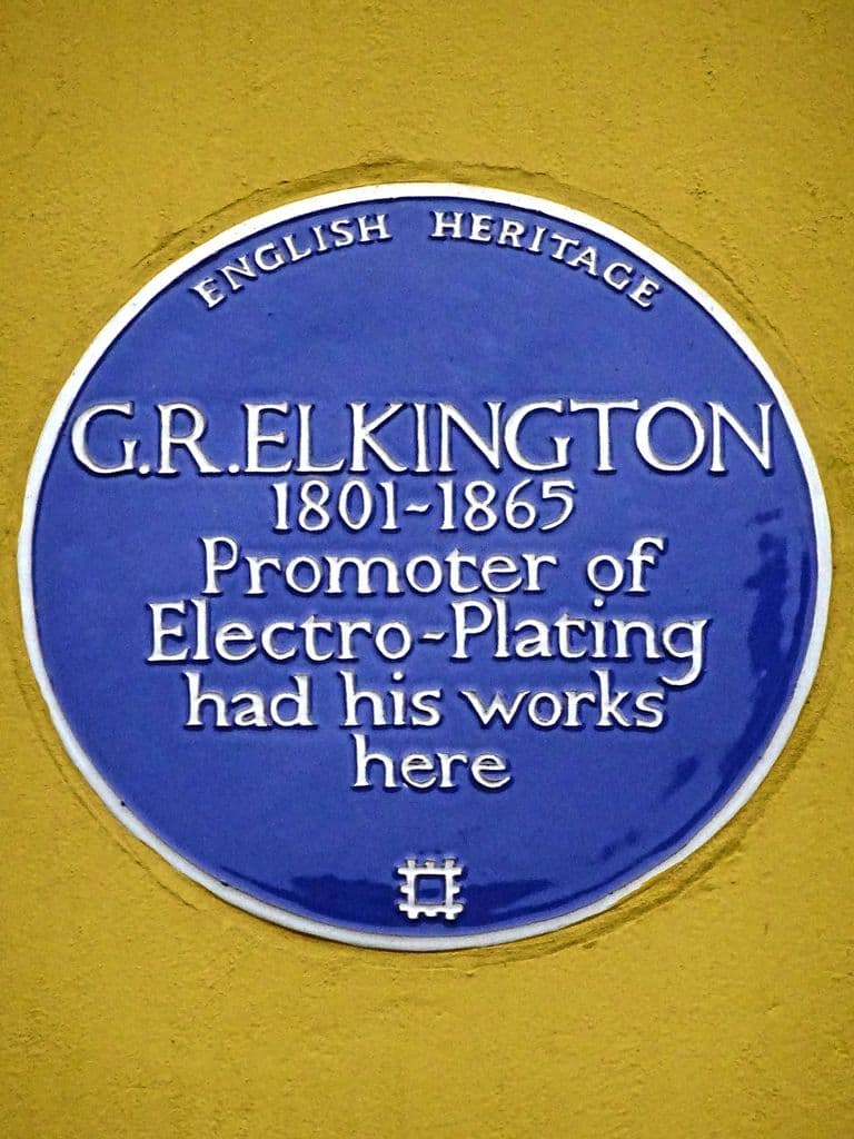 Lost industrial BirminghamThe works where Birmingham made its name: Soho Manufactory, Elkington’s electroplating works, the BSA factory at Small Heath and Kynoch’s Lion Works at Witton.
 Lost cinemasBirmingham’s picture palaces, from the Gaumont at Colmore Circus, with its Cinerama screen, demolished in 1986, to the first cinema to be called Odeon, which survives on Birchfield Road as a banqueting hall.
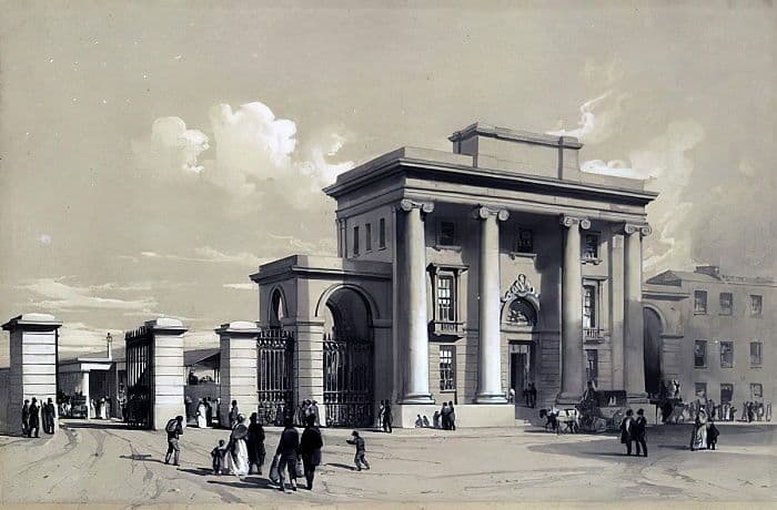 Lost railway BirminghamThe stations of Birmingham’s first railway age: Curzon Street, the 1838 terminus of the line from London, and Snow Hill, the Great Western’s grand station, closed in 1972 and rebuilt in 1987.
- Lost north BirminghamLost, altered and at-risk places in Erdington, Perry Barr, Witton, Aston and Handsworth, from moated manor houses and the Perry Hall estate to the first Odeon, Kynoch’s works and a stadium demolished in 2025.
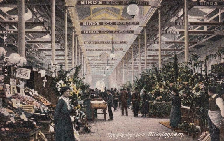 Birmingham Blitz lossesPlaces destroyed or damaged in the air raids of 1940–41: the Market Hall gutted in 1940, the BSA works where 53 workers died, and the Curzon Street terminus, hit but still standing.
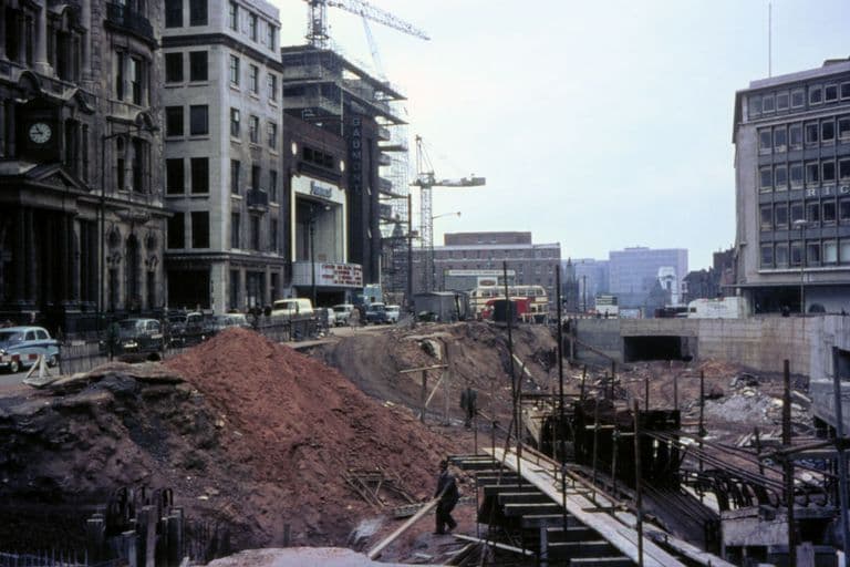
 Lost to the Inner Ring RoadBuildings cleared as post-war Birmingham rebuilt its centre around the Inner Ring Road and its new civic and shopping schemes, from Pugin’s Bishop’s House to the bombed Market Hall and Madin’s Central Library.
All the places
136 places
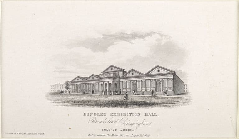 3DBingley HallLost, Site redeveloped · 1850–1984A huge single-storey brick exhibition hall off Broad Street, built in 1850 for Birmingham’s cattle and poultry shows. It held crowds of up to 20,000 for meetings, including Gladstone in 1877. It burned in January 1984; the International Convention Centre now covers the site.
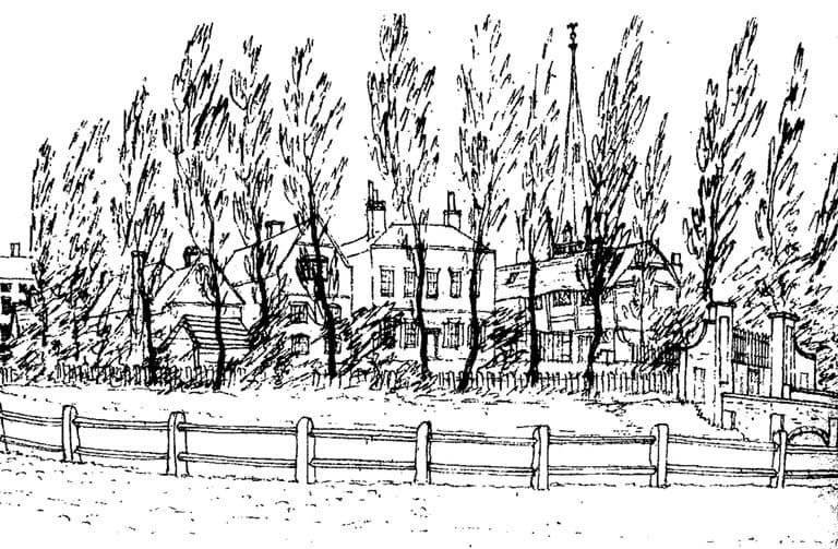 3DBirmingham Manor House and MoatLost, Site redeveloped · c. 1166–1816The moated home of the de Birmingham lords, probably dug soon after the 1166 market grant. A new house was built on the island about 1740. The site was cleared and the moat filled in 1815–16 for Smithfield Market, later the wholesale markets. Its buried remains were scheduled in 2023.
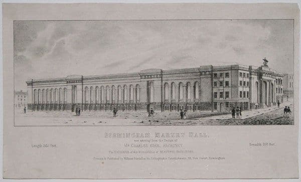 3DBirmingham Market HallLost, Site redeveloped · 1835–1940Charles Edge’s great covered market opened beside the Bull Ring in 1835. Bombing reduced it to a shell in 1940, yet traders carried on inside the walls until the ruin was cleared in the early 1960s for the Bull Ring Centre.
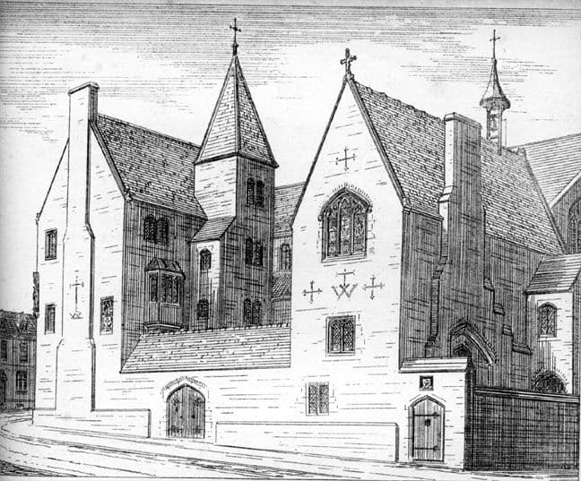
- 3DBishop’s House, Bath StreetLost · 1840–c. 1959A. W. N. Pugin’s Gothic house for the Catholic bishop, built in 1840–41 on Bath Street opposite St Chad’s. It was demolished around 1959 for the Inner Ring Road. A carved chimneypiece and two chairs survive at the V&A.
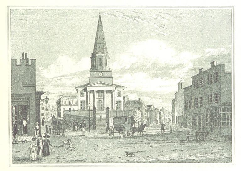 3DChrist Church, New StreetLost, Site redeveloped · 1805–1899Birmingham’s ‘Free Church’, where every ground-floor seat was free. Built 1805–13 with a Doric portico and a spire, it was sold in 1897; its catacomb burials, including John Baskerville’s, were moved, and it was demolished in 1899. Victoria Square covers the site.
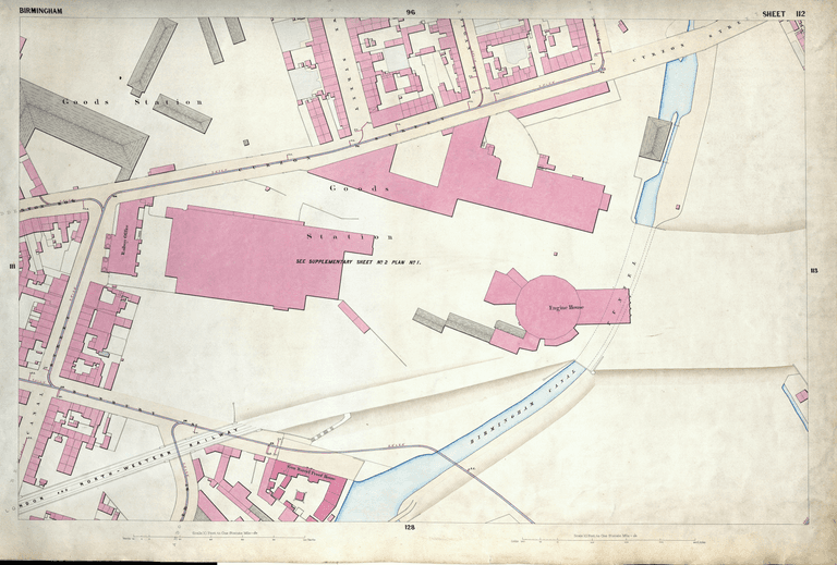 3DCurzon Street RoundhouseLost · 1837–1860Robert Stephenson’s sixteen-road engine house for the London & Birmingham Railway, in use from 12 November 1837 and demolished in 1860. HS2 excavated it in 2020–21 and reburied it. It is the earliest known railway roundhouse.
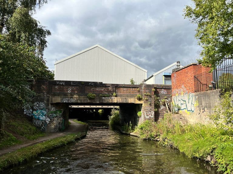 3DErdington HallLost · c. 1660–1912The moated seat of the de Erdington family, rebuilt in brick with Dutch gables in the 17th century. Still lived in in 1908, it was demolished in 1912 when Tyburn Road was built. No remains are visible, but Erdington Hall Road and Erdington Hall Bridge keep the name.
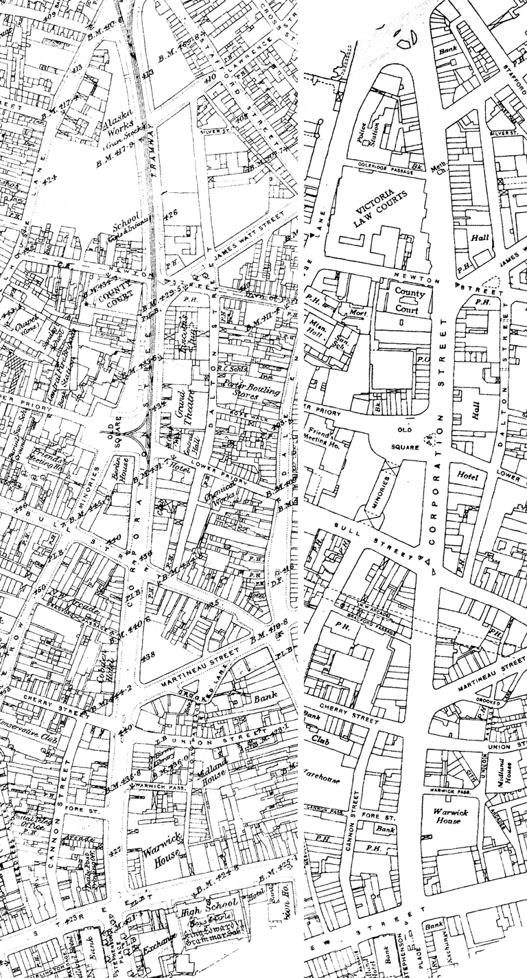 3DGrand Theatre, Corporation StreetLost, Site redeveloped · 1883–1963A large domed theatre opened in 1883 facing Old Square on Chamberlain’s new Corporation Street. Moss Empires made it a variety house in 1907; it was briefly a cinema, then the Grand Casino ballroom. It closed in 1960 and was demolished in 1963.
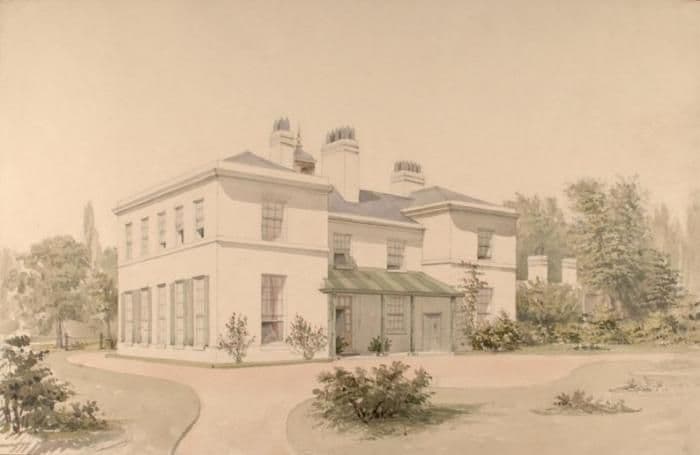 3DHeathfield HallLost, Site redeveloped · c. 1790–c. 1927James Watt’s home in Handsworth from 1790 until his death there in 1819, with his famous garret workshop. Demolished in 1927–28 and built over; its lodge on Radnor Road survives with a blue plaque.
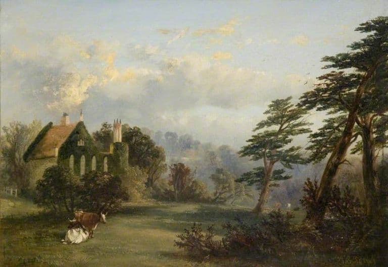 3DHockley AbbeyLost, Site redeveloped · c. 1779–c. 1870A house built to look like a ruined medieval abbey, made about 1779 by the Birmingham manufacturer Richard Ford from furnace slag, with a false date of 1473 in pebbles. Ivy-clad beside Hockley Pool near Boulton’s Soho, it was pulled down around 1868–71 for streets and works.
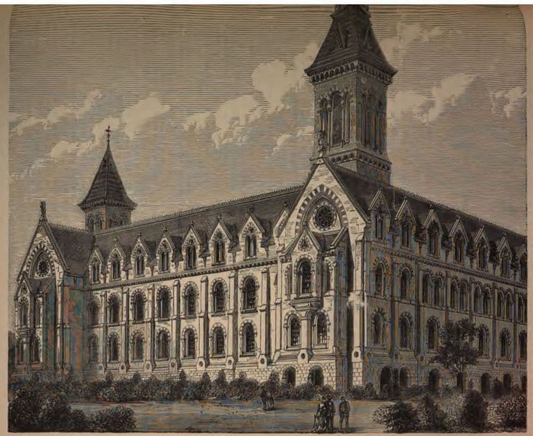 3DJosiah Mason’s Orphanage, ErdingtonLost, Site redeveloped · 1860–1964Josiah Mason’s great orphanage on Bell Lane, now Orphanage Road: a towered brick building for up to 500 children, paid for and endowed entirely by the pen maker. It opened in 1868 and was demolished in 1964. Mason Cottages stand on part of the site.
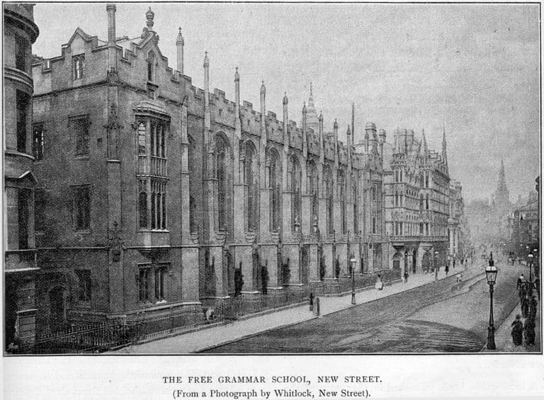 3DKing Edward’s School, New StreetLost, Site redeveloped · 1833–1936Charles Barry’s Gothic school on New Street, built 1833–38, with interior details by the young A. W. N. Pugin. It was the first Gothic Revival building in central Birmingham’s streets. Demolished in 1936 when the school moved to Edgbaston, where its upper corridor became the chapel.
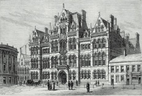 3DMason Science College, Edmund StreetLost, Site redeveloped · 1880–1964Josiah Mason’s Gothic science college on Edmund Street, opened in 1880, was the seed of the University of Birmingham. It was demolished in 1964 to clear the site for the new Central Library, built over the Paradise Circus section of the Inner Ring Road.
- 3DPerry Hall, Perry BarrLost, Partly surviving · lost c. 1929The moated home of the Gough family, later the Lords Calthorpe, whose Perry Hall estate owned the farms that became Kingstanding. The estate was sold off from 1921 and the hall demolished in the late 1920s. Its moat survives in Perry Hall Park.
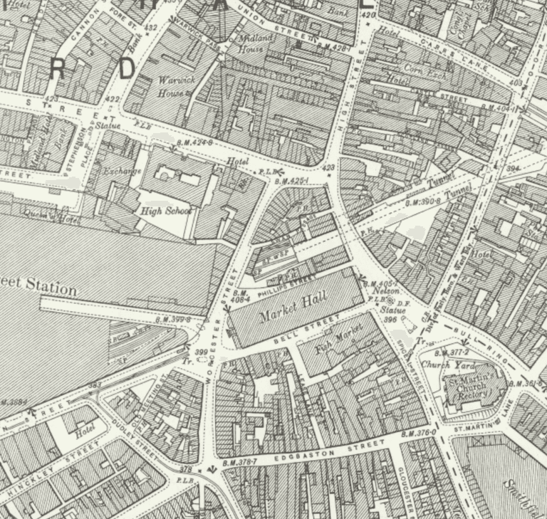 3DSmithfield MarketLost, Site redeveloped · 1817–c. 1975Birmingham’s Smithfield opened in 1817 as an open livestock market on the filled-in moat of the lords’ manor house. From 1883 a covered fruit and vegetable market grew until it filled the whole site. It was demolished in about 1975 for the wholesale markets, which have now gone too.
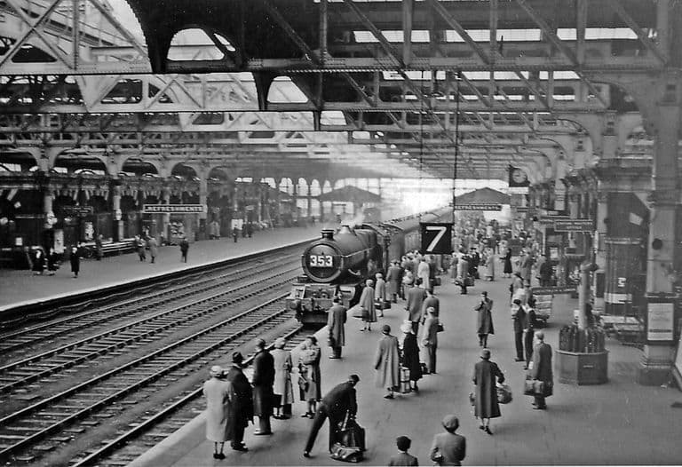 3DSnow Hill StationLost, Site redeveloped · 1852–c. 1977The Great Western Railway’s Birmingham showpiece, rebuilt three times between 1852 and 1912. Main-line trains left in 1967, the station closed in 1972 and was demolished in 1976–77. A smaller station opened on the site in 1987.
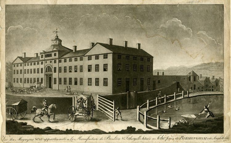 3DSoho ManufactoryLost, Site redeveloped · c. 1762–c. 1863Matthew Boulton’s great ‘toy’ factory on the Hockley Brook at Soho, Handsworth, where buttons, buckles, plate and ormolu were made and Boulton & Watt’s steam engine partnership began. Demolished in stages and gone by 1863.
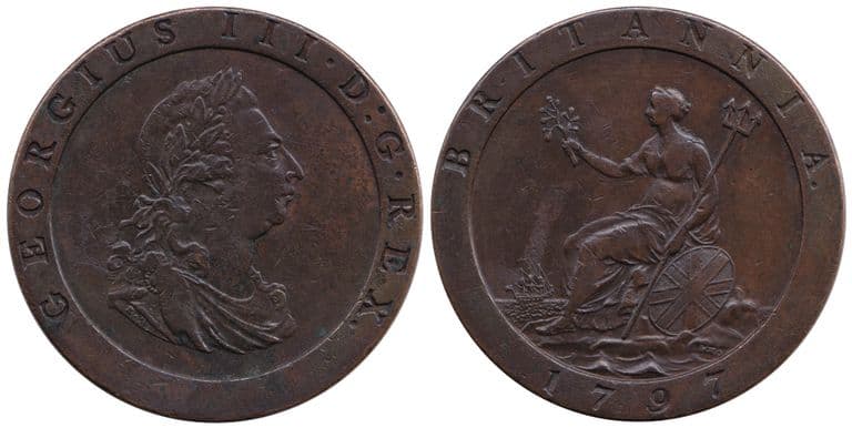 3DSoho MintLost, Site redeveloped · 1788–1849The world’s first steam-powered mint, built by Matthew Boulton in 1788–89 among the garden buildings of his Soho estate. It struck the 1797 ‘cartwheel’ pennies. Closed in 1849; nothing stands today.
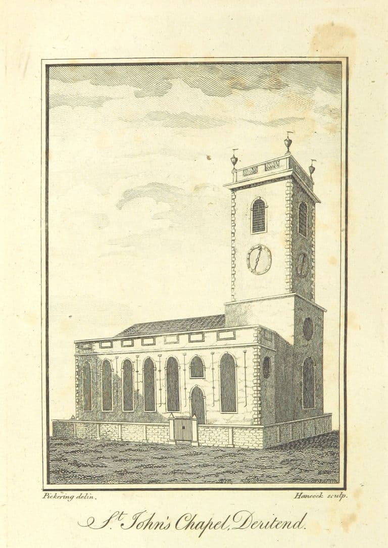 3DSt John’s Chapel, DeritendLost · c. 1381–1947Deritend’s own chapel, built by 1381 so that people across the Rea need not struggle to Aston church. Rebuilt in brick in 1735, it honoured the martyr John Rogers. Bombed in 1940 and demolished in 1947, it lies under High Street Deritend; its bells’ metal hangs in Perry Barr.
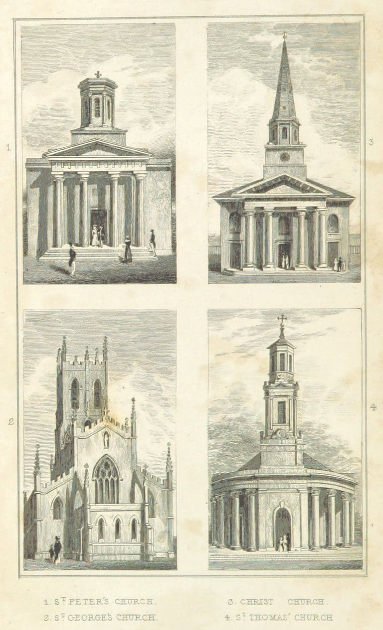 3DSt Thomas’s Church, Bath RowPartly surviving, Lost · 1826–1940Rickman and Hutchinson’s Greek Revival church at Holloway Head, built in 1826–29 with 2,125 seats, 1,500 of them free. Bombing in December 1940 destroyed all but the west front. Its tower and curved Ionic porticos still stand in St Thomas’ Peace Garden off Bath Row.
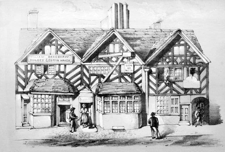 3DThe Golden Lion, DeritendRelocated · c. 1600–1911A three-gabled timber-framed house of about 1600 on the south side of High Street Deritend, for many years an inn. In 1911 it was taken down and rebuilt in Cannon Hill Park, where it still stands, listed Grade II and under repair since 2025.
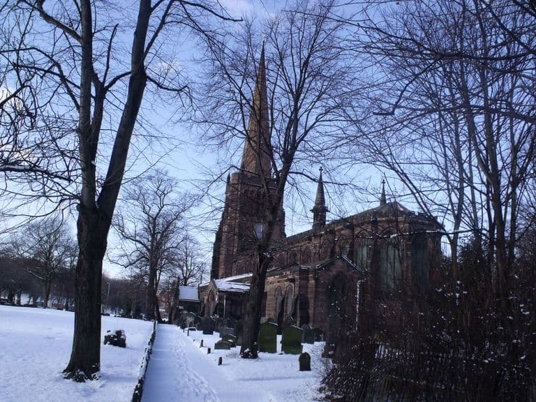 Aston Parish Church (St Peter and St Paul)Surviving, Surviving but altered, At risk · c. 1086The mother church of the vast old parish of Aston, beside Aston Hall. Its 15th-century tower survives; the rest was rebuilt in 1879–90 by J. A. Chatwin. It holds effigies of the de Erdingtons and the Holtes. Grade II*, it is on Historic England’s Heritage at Risk Register.
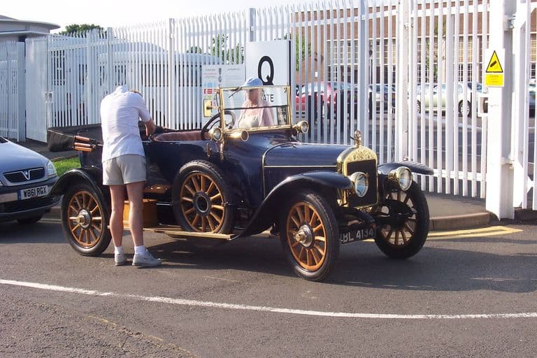 Austin works, LongbridgeSite redeveloped, Partly surviving · 1905–2005Herbert Austin turned a derelict printing works into “The Austin”, Britain’s best-known car factory, home of the Austin Seven and the Mini. Car making ended with MG Rover in 2005 and MG in 2016; a town centre, college and homes now cover most of it.
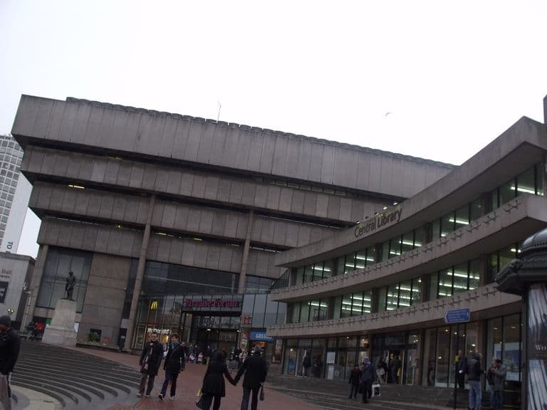 Birmingham Central Library (John Madin)Lost, Site redeveloped · 1974–c. 2016John Madin’s concrete Central Library, an inverted ziggurat opened in 1974, was called Europe’s largest civic library by English Heritage. Ministers twice refused to list it. It closed in 2013 and was demolished in 2015–16 for the Paradise scheme.
Lost Kingstanding, Oscott and Perry Common
The farms, lanes, lodges and buildings that stood here before the estates — from our own record of the area.
 Lost common
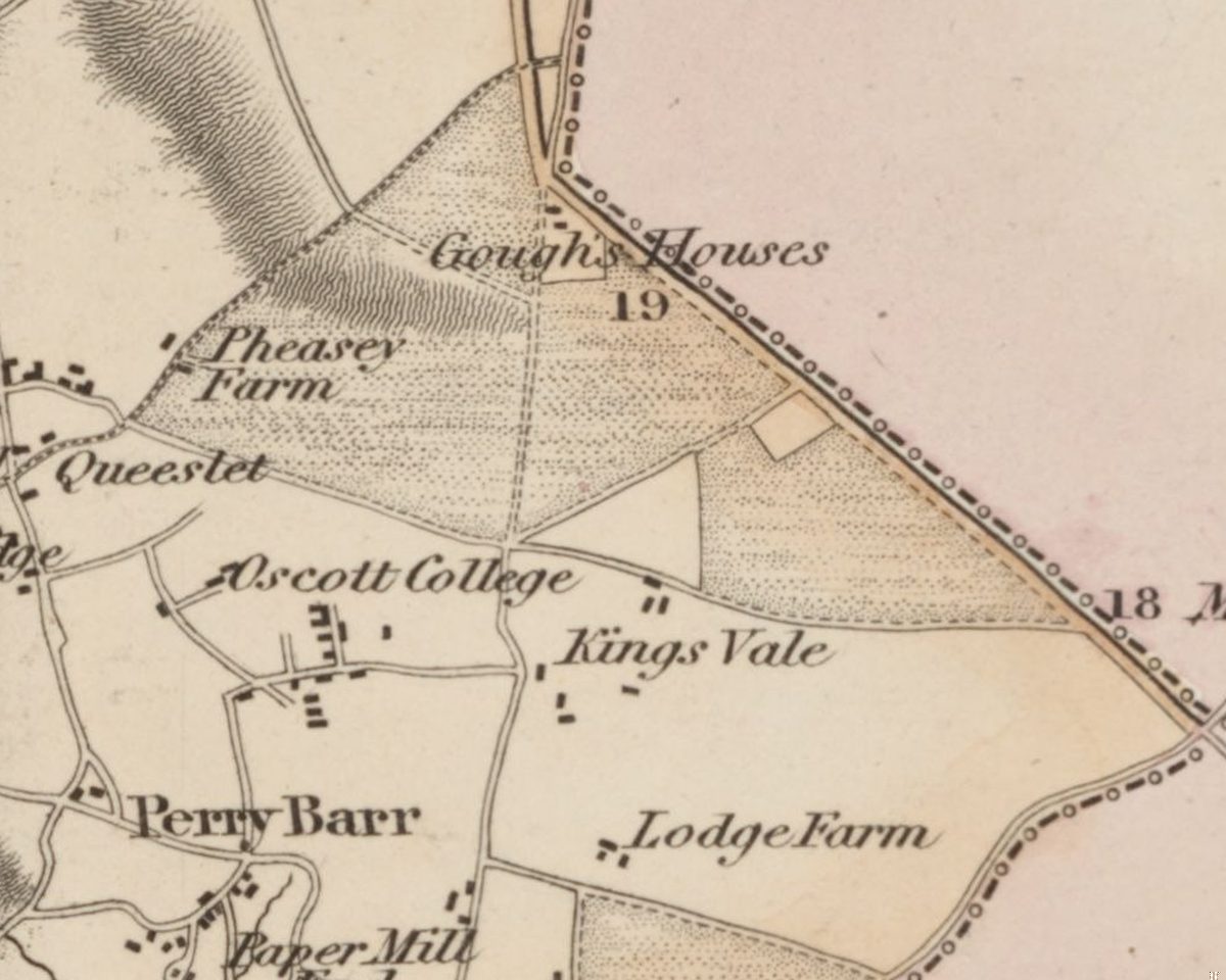
Perry Barr Common and the Warrens
Before the houses, before the farms, Kingstanding was open heath and rabbit warren. An Act of 1811 and an award of 1814 turned it into the straight fields the estate was built on.
C. Greenwood, Map of the County of Stafford, surveyed 1819–20, published 1820 · Out of copyright
Read more →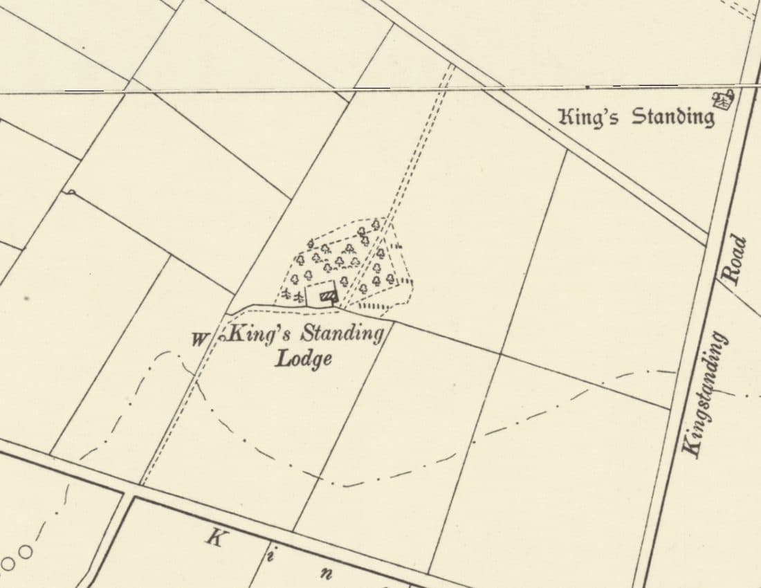 Lost house
King’s Standing Lodge and the Warren Houses
A lonely warrener’s house on the heath, on the map by 1775 and let with 300 acres of rabbit warren in 1820. It stood by today’s Bandywood Crescent until about 1930.
Ordnance Survey six-inch map, revised 1901, published 1904 · Out of copyright
Read more →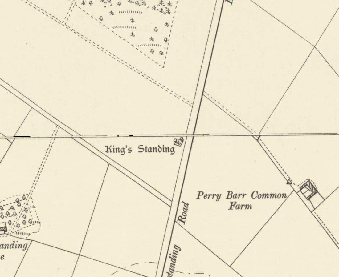 Roman road
Icknield Street
The Roman road from Wall to Metchley ran along the line of Kingstanding Road, past the King’s Standing mound and Romans Field.
Ordnance Survey six-inch map, revised 1901 · Out of copyright
Read more →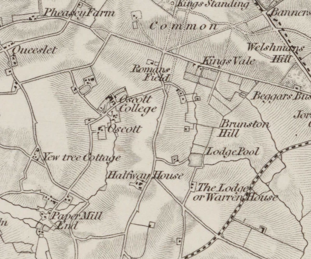 Roman findspot
Roman Field
A field beside the line of Icknield Street where Roman coins, including coins of Domitian, were turned up. Owned by the Catholic trustees at Oscott, it very probably became the waterworks site.
Ordnance Survey one-inch Old Series, revised 1831–32 (1863 printing) · Out of copyright
Read more →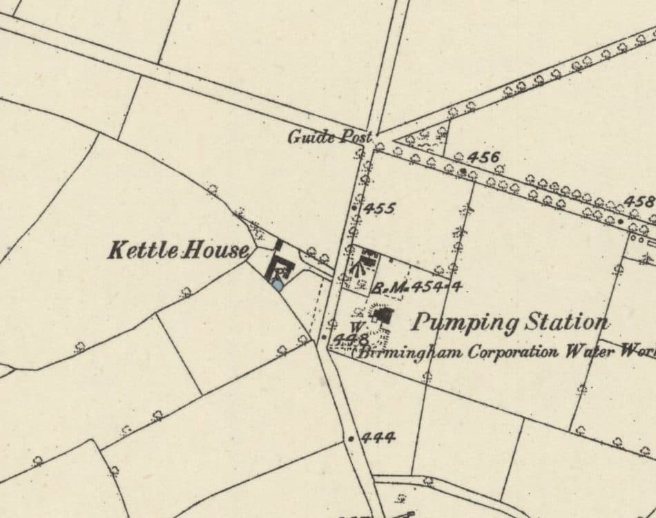 Lost farm
Kettle House Farm
The farm just south of today’s Circle that gave its name to the Kettlehouse estate: in the deeds by 1814, a Calthorpe farm from 1846, and farmed by the Judds until 1936.
Ordnance Survey six-inch map, surveyed 1882–83, published 1884 · Out of copyright
Read more →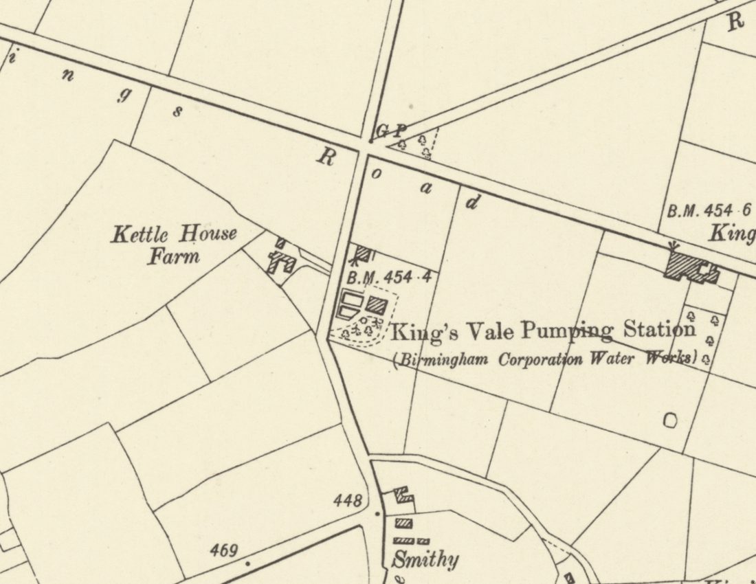 Lost waterworks
King’s Vale Well and Pumping Station
Birmingham’s waterworks sank a deep well here in the 1860s, expecting six million gallons a day. It gave 300,000, turned bad, and was disused by 1913. The site is now Wheeldon Recreation Ground.
Ordnance Survey six-inch map, revised 1901, published 1904 · Out of copyright
Read more →
Show all 32 lost places in Kingstanding
 Lost hamlet
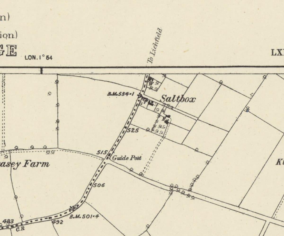
Saltbox
A handful of roadside cottages on the old road from Queslett towards Lichfield, carved out of Perry Barr Common after 1814 and still lived in when the estate arrived.
Ordnance Survey six-inch map, surveyed 1882–83, published 1884 · Out of copyright
Read more →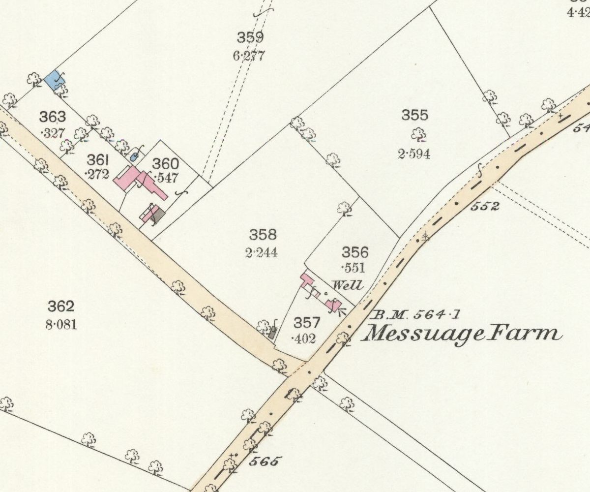 Lost farm
Messuage Farm
A 62-acre farm carved from Great Barr Common whose name headed the 1930 plan for the Kettlehouse estate, then quietly dropped off the map.
Ordnance Survey 25-inch map, surveyed 1882–83 (published 1884) · Out of copyright
Read more →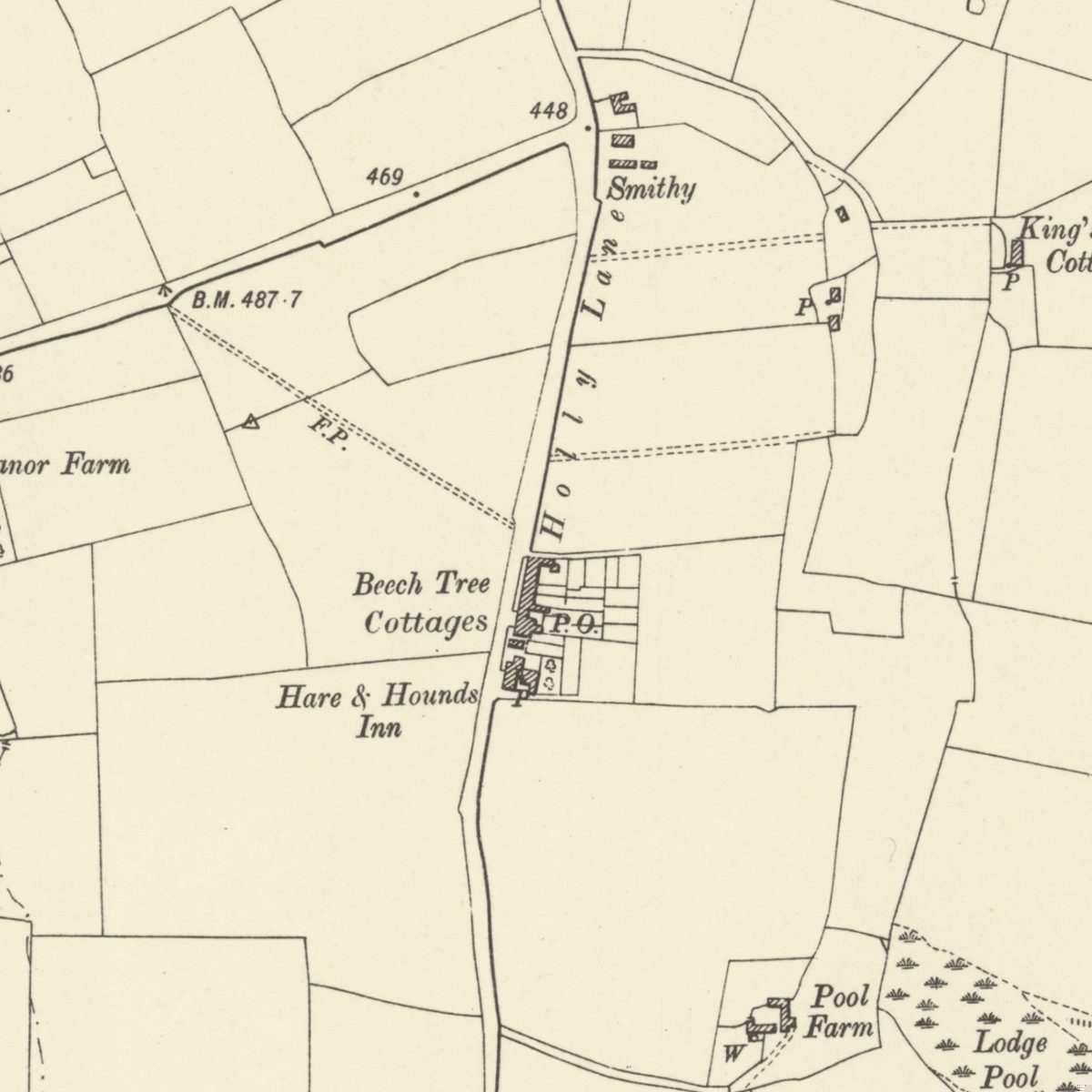 Lost lane and hamlet
Holly Lane
The old lane under southern Kingstanding Road, with its smithy, Beech Tree Cottages, post office and the inn that was both Greyhound and Hare & Hounds.
Ordnance Survey six-inch map, revised 1901 · Out of copyright
Read more →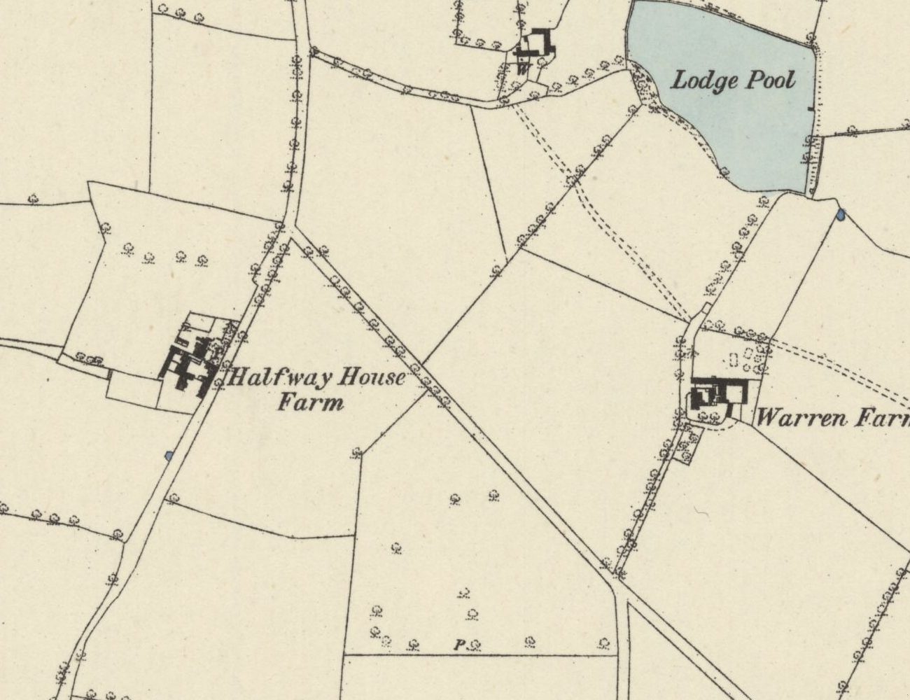 Lost farm
Halfway Farm
“Halfway House” on the 1831–32 map, home of Perry Barr’s tax collector, sold in 1921, and since 1938 the site of the drill hall on Kingstanding Road.
Ordnance Survey six-inch map, surveyed 1882–83 (published 1884) · Out of copyright
Read more →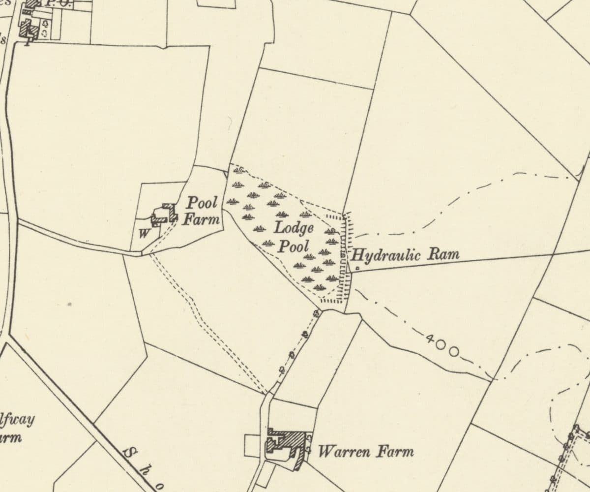 Lost farm
Warren Farm and Lodge Pool
A lodge on the rabbit heath that became Warren Farm, with Lodge Pool, a hydraulic ram and Pool Farm beside it, all now under the Warren Farm estate.
Ordnance Survey six-inch map, revised 1901 · Out of copyright
Read more →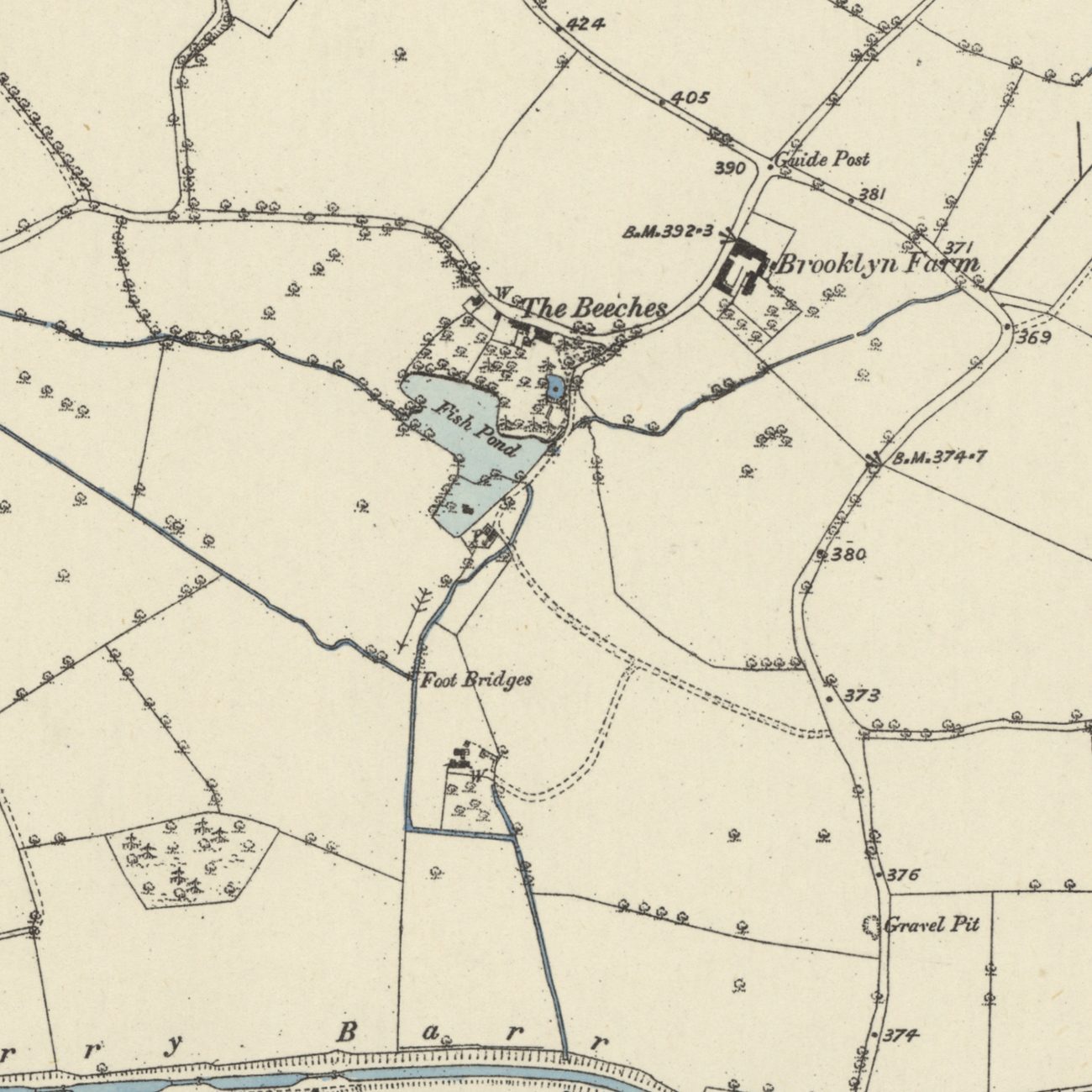 Lost mills
Paper Mill End and the Perry Barr mills
Blade mills, paper mills and a wire mill worked the Hol Brook below Old Oscott from 1597 until the 1840s. Paper Mill End still carries the name.
Ordnance Survey six-inch map, first edition, 1880s · Out of copyright
Read more →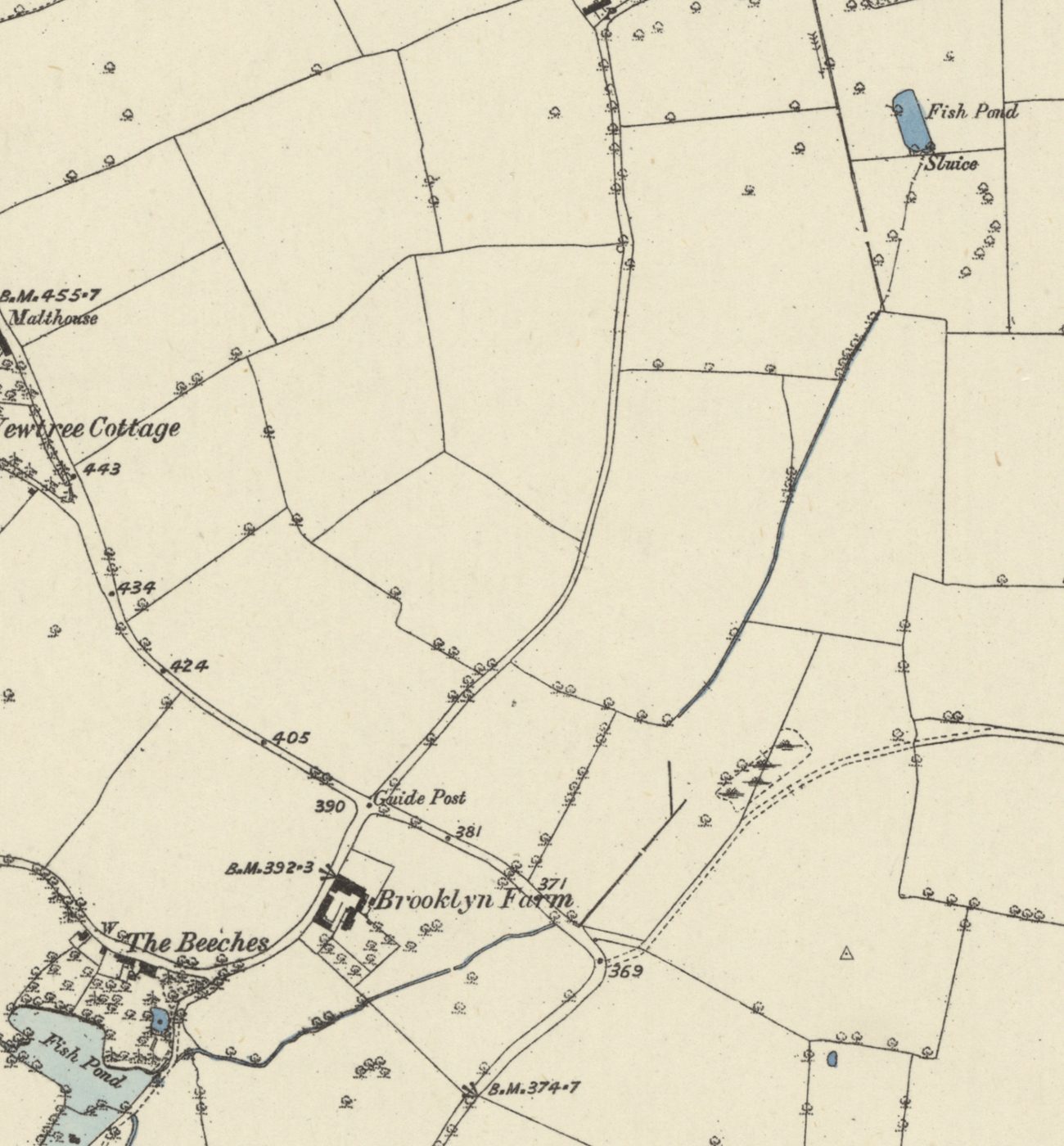 Lost brook
Oscott Brook
A small stream once ran from a fish pond at Old Oscott, along the line of Birdbrook Road, to the mill pool at The Beeches and on to the Tame. It went underground with the estate.
Ordnance Survey six-inch map, first edition, 1880s · Out of copyright
Read more →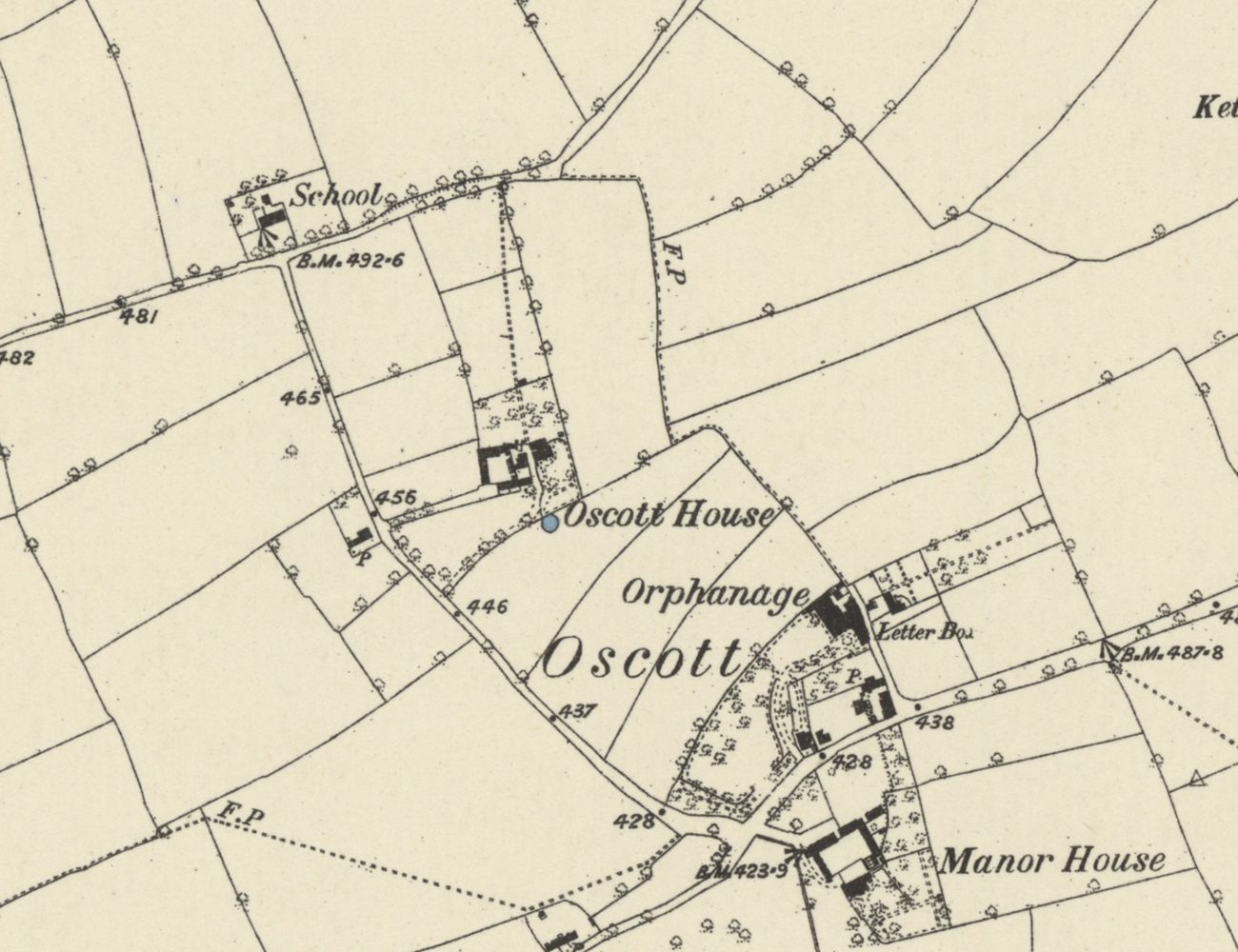 Lost hamlet
Medieval Oscott
Deeds from 1336 record a chapel at Oscott beside the Lichfield–Perry road, and “the town of Oscote” in 1392. Its Chapel Fields kept the name into the 1840s.
Ordnance Survey six-inch map, first edition, 1880s · Out of copyright
Read more →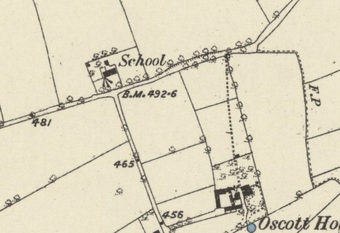 Lost school
The old school on Shady Lane
The school house beside All Saints on Shady Lane was recorded by 1840, ran as the Calthorpes’ Oscott Church School until 1900, and was photographed in 1938 before demolition.
Ordnance Survey six-inch map, first edition, 1880s · Out of copyright
Read more →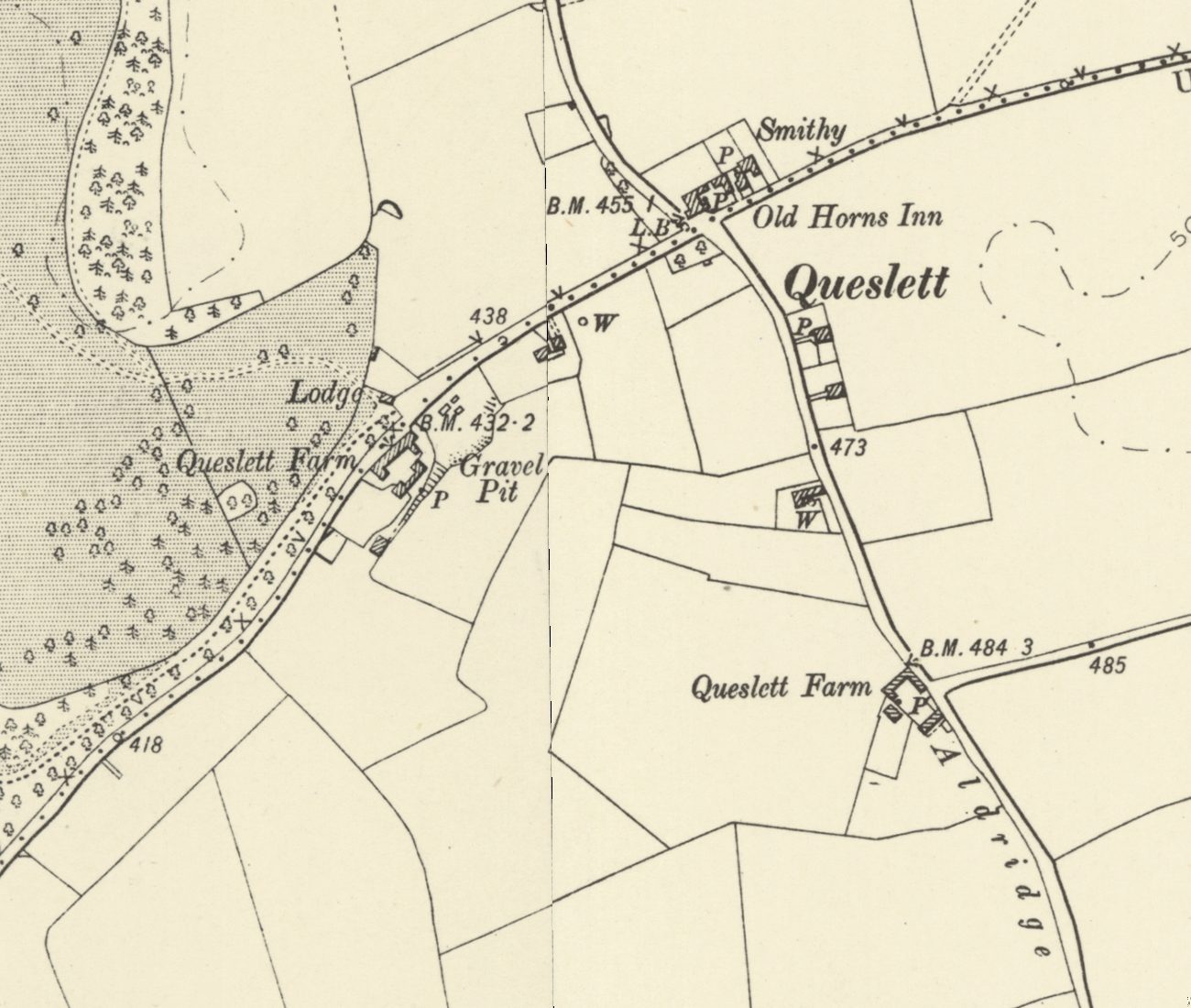 Lost lodge
Queslett Lodge and old Queslett
Queslett Lodge guarded the south-east drive to Great Barr Hall from about 1800, facing Queslett Farm and near the Old Horns. Its sister, Handsworth Lodge, still stands.
Ordnance Survey six-inch map, revised 1901 · Out of copyright
Read more →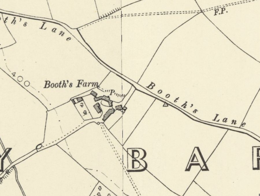 Lost farm
Booth’s Farm and William Booth
William Booth forged banknotes at Booth’s Farm until a raid in March 1812; his hanging took three attempts. The farmhouse stood until 1974 and its footings survive.
Ordnance Survey six-inch map, revised 1901 · Out of copyright
Read more →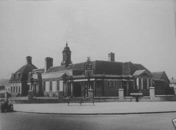 Lost pub
The College Arms
The 1930s pub on College Road: whippets out the back, bets passed to a man on the wall, sing-alongs at the piano — and a McDonald’s on the site today.
Photo: Birmingham History Forum (“out of copyright”, as credited on Voices of Kingstanding). Reproduced via Chris Hillcox, Voices of Kingstanding.
Read more →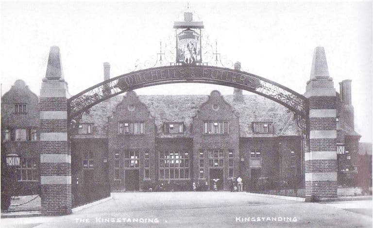 Lost pub
The Kingstanding pub
The great Mitchells & Butlers pub at the Circle: an iron arch, rooms galore, a bowling green and GIs on the lawn. Rebuilt twice, burnt in 2019, now a car park.
Postcard, 1936; publisher and photographer unknown
Read more →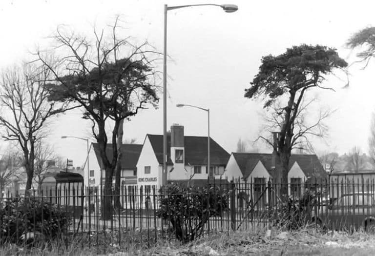 Lost pub
The King Charles
“The Charlie” on the corner of Kings Road and Hartley Road: Vimto by the railings, darts, piano, film shows and Saturday-night music. Houses stand there now.
Submitted by a resident of Oscott. Photo copyright Keith Wright (as credited on Voices of Kingstanding).
Read more →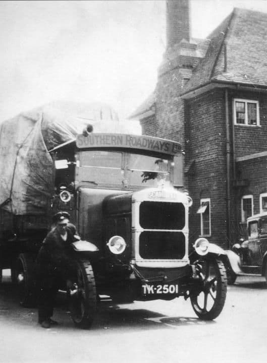 Lost pub
The Hare and Hounds
The 1931 Mitchells & Butlers roadhouse on Kingstanding Road, with terraced grounds down to a bowling green, GIs on the wall and long-serving landlords. Gutted by fire in 2016.
Library of Birmingham, Local Studies and History Department, LSH WK K10 0087 (3/1310)
Read more →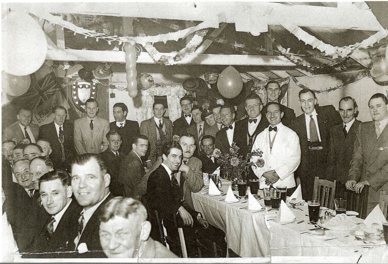 Club
ClubThe Warriors Club, Lambeth Road
The British Legion club on Lambeth Road that its own members helped to build, with a room named after Albert Roberts. Known to all as the Warriors; now the Crown.
Image reproduced with permission of Chris Hillcox, Voices of Kingstanding.
Read more →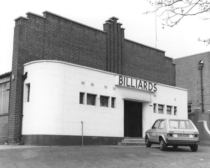 Snooker hall
The Royal Billiard Hall
The snooker hall beside Kingstanding police station: Harold the gaffer, a champion A team, cheese and onion sandwiches, and a young Graham Miles practising.
Library of Birmingham, Local Studies and History Department, WK K10 0010 (3/1242)
Read more →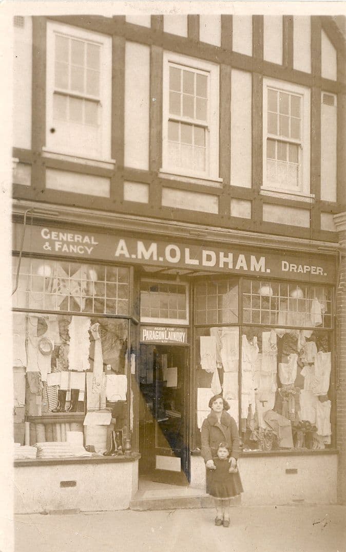 Shops
ShopsShops of the Circle
Oldham’s, John Favours, Rochelle’s, Knights, Lennons and the Co-op: the Circle’s shops and shopkeepers as Kingstanding remembers them, from 1930 to today.
Photo: Bernie Ryman. Reproduced with permission via Chris Hillcox, Voices of Kingstanding.
Read more →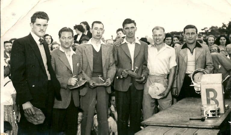 Lost dairy
The Co-op Dairy, Kingstanding Road
The Co-op milk depot beside the drill hall on Kingstanding Road: Clydesdales and sleighs in the war, electric floats and teenage “jockeys” in the 1960s.
Photo: Bernie Ryman. Reproduced with permission via Chris Hillcox, Voices of Kingstanding.
Read more →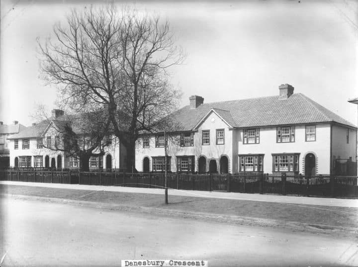 Lost coal yard
Chas. H. Davis’s Coal Yard
A small coal yard in Danesbury Crescent, behind the baths, where post-war families queued with barrows and old prams for coal, slack and “nutty slack”.
Library of Birmingham, Local Studies and History Department, LSH WK K10 0027 (3/1258)
Read more →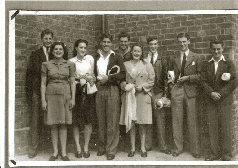 Lost swimming baths
Kingstanding Baths
The Warren Farm Road swimming baths, opened in 1938: free passes, the high board, a penny Oxo upstairs and dances on boards laid over the pool.
Photo: Dennis Elwell. Reproduced with permission via Chris Hillcox, Voices of Kingstanding.
Read more →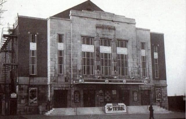 Lost cinema
The Mayfair Cinema
The Mayfair on College Road, 1931–1964: Saturday matinées, orange peel from the circle, a doorman children took for a general, and an Aldi car park today.
Photo: Cinema Treasures (cinematreasures.org) (as credited on Voices of Kingstanding). Reproduced via Chris Hillcox, Voices of Kingstanding.
Read more →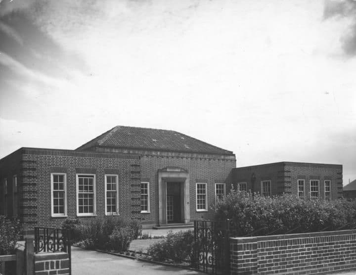 Health clinic
Warren Farm Road Clinics
The estate’s health clinics on Warren Farm Road: cod liver oil and orange juice for babies, jabs and head checks, and a school dentist nobody forgot.
Library of Birmingham, Local Studies and History Department, LSH WK K10 0134 (3/1352)
Read more →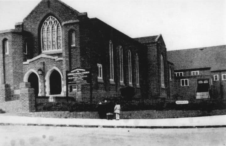 Lost church
Ebenezer Memorial Congregational Church
The Congregational church on the corner of Brackenbury Road and Dulwich Road, finished in 1934: Sunday school, the 213th scouts, rock and roll in the hall.
Library of Birmingham, Local Studies and History Department, LSH WK K10 0132 (3/1350)
Read more →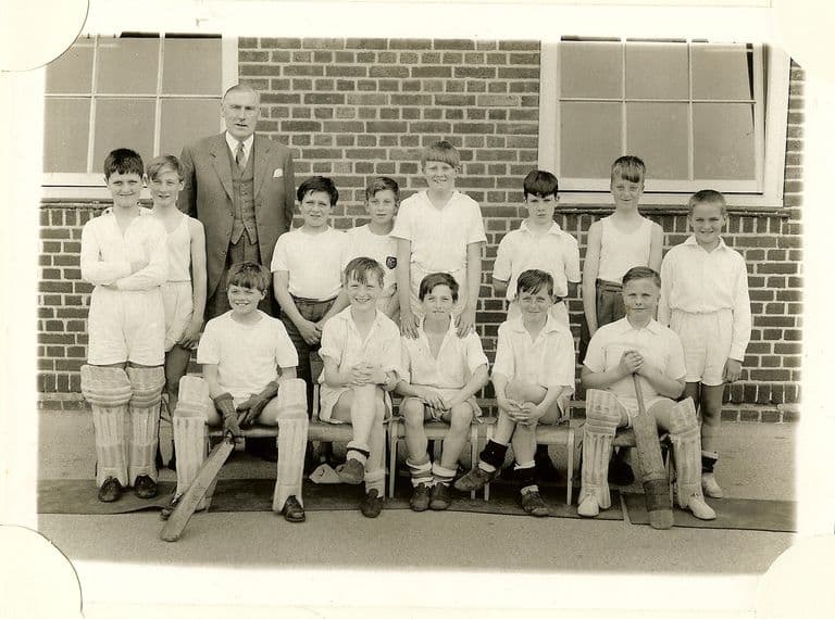 Lost school
King’s Rise School
King’s Rise secondary school on Peckham Road, 1945–1989: maroon blazers, Pop Mason, a Villa goalkeeper, 1976 photographs, and houses where it stood.
Image reproduced with permission of Chris Hillcox, Voices of Kingstanding.
Read more →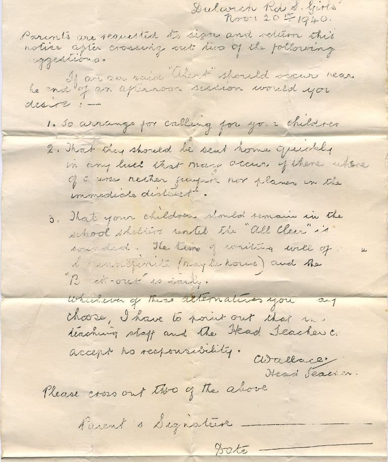 Estate school
Dulwich Road schools
Warren Farm’s schools on Dulwich Road, from 1930 huts to air-raid letters, 1936 hall murals and a school song — a primary that still teaches and a hall that still shows the murals.
Courtesy of Lee Lewis. Reproduced with permission via Chris Hillcox, Voices of Kingstanding.
Read more →
Do you know a lost place?
Old photographs, memories, corrections and suggestions are welcome. Everything is checked before it appears, and photographs need to be yours or shared with permission.