
In 1930 Birmingham’s City Engineer and Surveyor’s office drew up a plan for a new estate between Kingstanding Road, Kings Road, Queslett Road and Kingstanding Wood. Its title named two farms: “Kettlehouse Farm and Messuage Farm estates … Layout for 1,980 houses.”
Six years later a revised plan went out under a shorter title: “Kettlehouse Farm estate”. Messuage had gone. Kettlehouse lived on as a road and a name everyone in Kingstanding knows. Messuage Farm vanished almost without trace.
A farm across the road
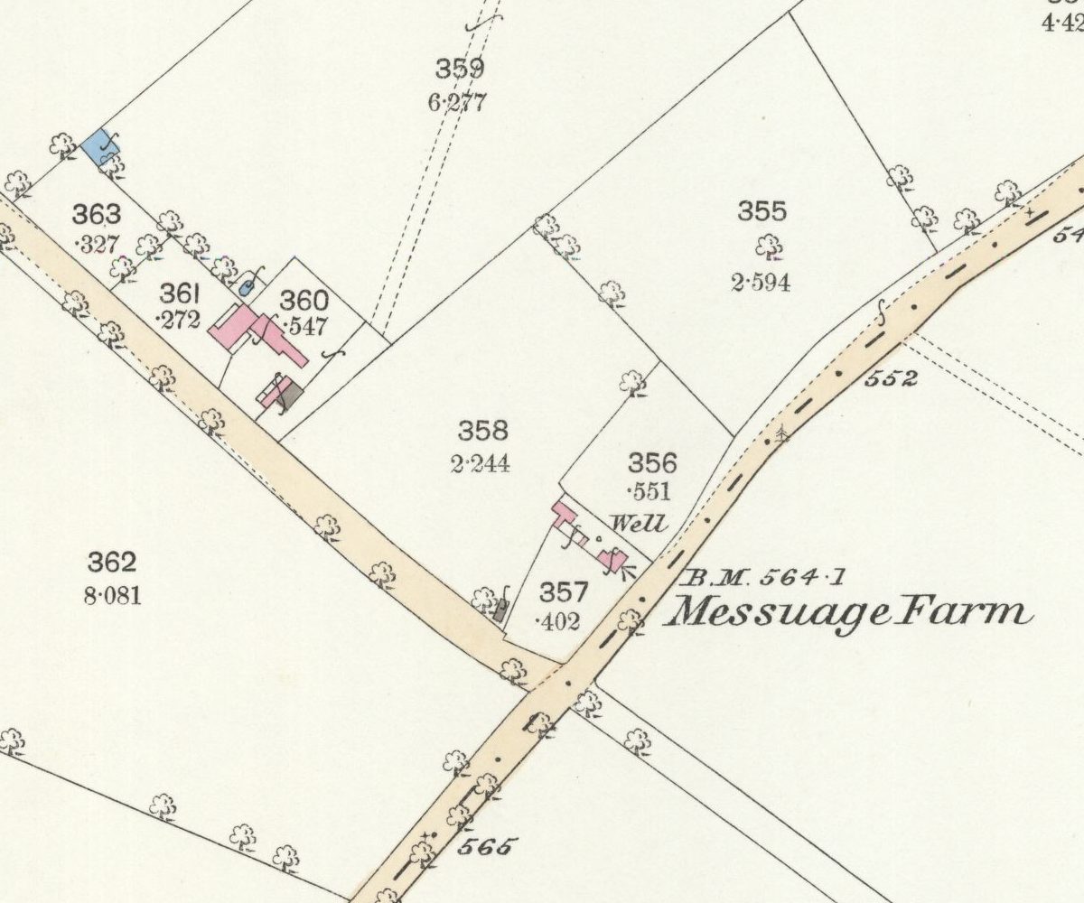
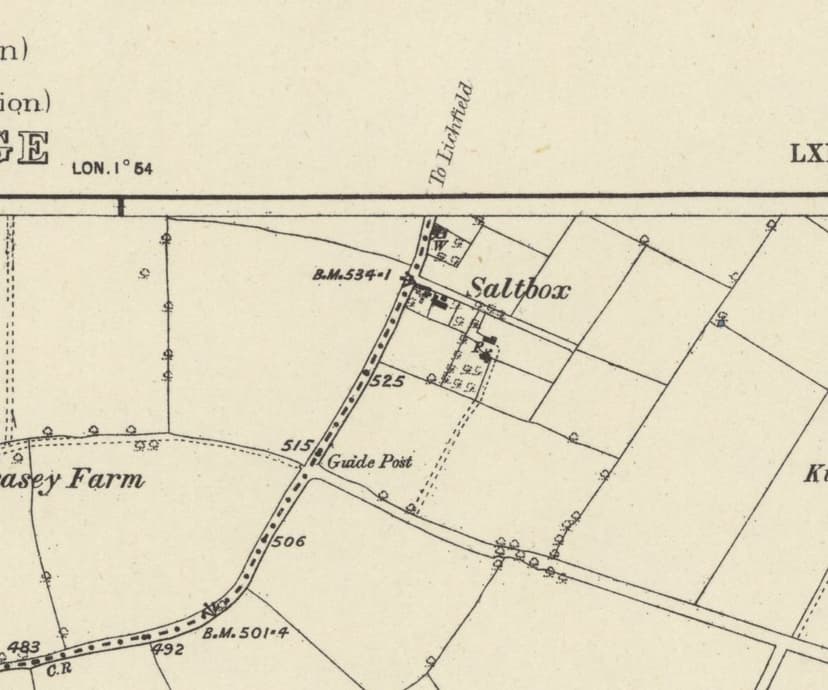
The odd thing is that Messuage Farm never stood on the estate at all. The Ordnance Survey maps of 1882–83 and 1901 put it on the far side of the Queslett to Sutton road, in the angle where Doe Bank Lane met it, a small farmstead with a well beside the house. Today that is the corner of Queslett Road East and Doe Bank Lane, opposite the end of Cooksey Lane, right on the boundary between Birmingham and Walsall. Its neighbour Doe Bank Farm, about 150 metres up the lane, still stands.
So the farmhouse was in Great Barr, looking across the road at Kingstanding. The council’s plan covered the ground south of Queslett Road, which suggests that at least some of the farm’s fields lay on the Kingstanding side. Exactly which ones has not yet been traced.
Carved from the common
The farm’s deeds survive in the Gough family papers at the Library of Birmingham, under the heading “Messuage Farm”. The earliest, of 1807, concerns land in Great Barr that was “part of Great Barr Common, near to the road from Quiecelet in Perry Barr to Sutton.” An abstract drawn up in 1857 traces Sir Francis Edward Scott’s title to “a cottage and land in Great Barr” back to 1793. That year Scott conveyed the “Messuage and land in Great Barr adjoining the highway from Queslet to Sutton” to Lord Calthorpe and the trustees of the Perry Hall estate.
“Messuage” is an old legal word for a dwelling-house with its land. It may be that the farm simply kept the lawyers’ word as its name, and that it began as a cottage on the edge of the common. Both ideas fit the deeds, though neither is proved.
Sold, and sold again
In September 1921 Lord Calthorpe put a large part of the Perry Hall estate up for auction. “Messuage Farm, New Oscott, 62 acres, let at £134, was withdrawn at £2,800.” That autumn a farm labourer, William George Judd, gave the farm as his address. In February 1922 the auctioneers announced that Messuage Farm had been sold by private treaty.
By 1926 it belonged to a farmer who, a court heard, had also “studied astrology”. The report said only that “he owned a small property at Oscott, known as Messuage Farm”.
Lived in while the estate rose
The estate was built, but the farmhouse was not pulled down with it. Alexander Read gave his address as Messuage Farm in 1931, and a greyhound trainer, Frederick Faulding, in 1935. In 1939 a county court was asked whether “a house and land known as Messuage Farm, Queslett Road, Great Barr” was protected by the Agricultural Holdings Act.
That is probably why the name slipped off the plans. The house stood on the Great Barr side of the road, outside the new estate, and by 1936 the whole scheme was simply the Kettlehouse Farm estate.
Local memory has a Co-op dairy depot and later a petrol station on or beside the site. Stand at the end of Doe Bank Lane now and there is a fenced compound by the junction, with traffic running along Queslett Road East where the old boundary ran.
Nothing of the farmhouse is known to survive. But for a few years a small farm carved out of Great Barr Common gave its name to the plan that laid out a whole corner of Kingstanding, and that name was, most likely, a word lifted straight from the lawyers’ deeds.
Pictures
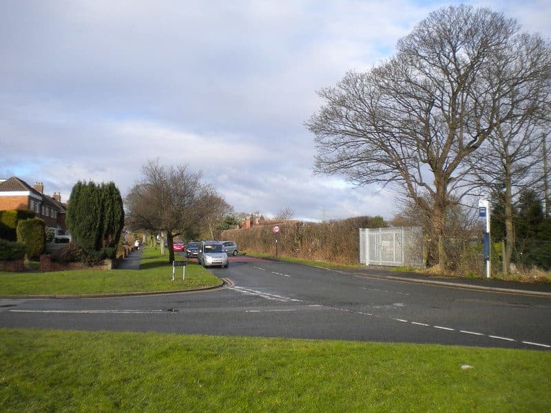
The east end of Doe Bank Lane from Queslett Road East. The fenced compound by the junction marks the Messuage Farm site.Richard Vince, geograph.org.uk (4362945) · CC BY-SA 2.0 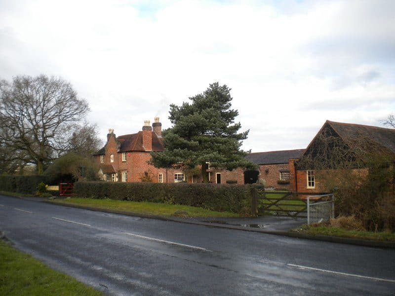
Doe Bank Farm, Messuage Farm’s neighbour up the lane, which survives.Richard Vince, geograph.org.uk (4362958) · CC BY-SA 2.0
From the Heritage Archive
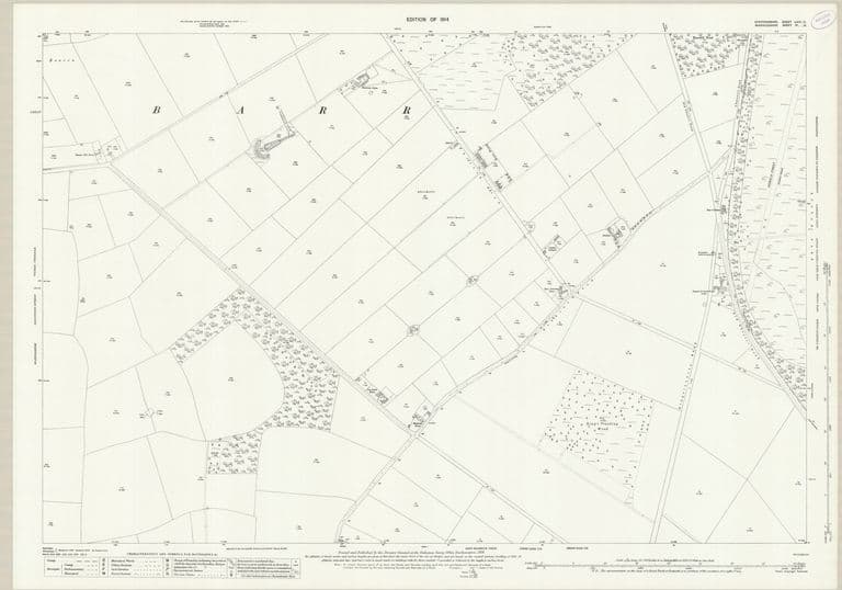
- City of Birmingham. Kettlehouse Farm and Messuage Farm estates [Kingstanding]. Layout for 1,980 houses — City Engineer and Surveyor’s Office, Birmingham, 1930. Ref. MAP/416623. Catalogue entry; see also MAP/425365 (1930) and WPS/WK/K10/49 (plan photo c.1929)
- City of Birmingham housing schemes: Kettlehouse Farm estate [Kingstanding]. Revised plan — City of Birmingham, 1936. Ref. MAP/544107. Catalogue entry
- Messuage Farm deeds (appointment 1807; abstract of title 1793–1848; conveyance and covenant 1857) — Library of Birmingham, Gough of Perry Hall papers, 1807–1857. Ref. MS 3145/1/7/13 (old refs MS 3145/55/1–4). Catalogue descriptions only
- Ordnance Survey six-inch, 1st edition, Staffordshire LXIX.NW — Ordnance Survey, surveyed 1882–83, published 1884. Ref. NLS 101597597
- Ordnance Survey six-inch, 2nd edition, Staffordshire LXIX.NW — Ordnance Survey, revised 1901, published 1904. Ref. NLS “6inchsecond” layer
- Ordnance Survey 25-inch, 1st edition, Staffordshire LXIV.13 — Ordnance Survey, surveyed 1882–83, published 1884. Ref. NLS 115475710
- Perry Hall Estate sale (Fox & Sons): advertisements and auction report — Country Life; Birmingham Daily Gazette, Aug–Oct 1921. Catalogue itself at Sutton Coldfield Library (per LoB WK/K10/70)
- Birmingham Daily Gazette (auction report) — 23 Sep 1921. “Messuage Farm, New Oscott, 62 acres, let at £134, was withdrawn at £2,800”
- Walsall Observer (William George Judd) — 1 Oct 1921. BNA snippet
- Bournemouth Times (farms sold by private treaty) — 25 Feb 1922. BNA snippet
- Lancashire Evening Post (Messuage Farm owner, astrology) — 6 Feb 1926. BNA snippet
- Evening Despatch (Alexander Read); Evening Despatch and Daily Mirror (F. E. G. Faulding); Walsall Observer (“Great Barr land dispute”) — 1931; 1935; 11 Feb 1939. BNA snippets
- US Base Pheasey Estate, p. 4 (Carolann Taylor) — Birmingham History Forum, 5 Mar 2020. Local memory only: Co-op dairy site, then a petrol station
- Historic name gazetteer from old maps, 1775–1921 — kingstanding.org research notes, 29 Sep 2026. Ref. docs/heritage/notes/10-gazetteer.md. Positions and labels from each map edition
- Farms and lost homes of pre-estate Kingstanding (research notes) — kingstanding.org research notes, 29 Sep 2026. Ref. docs/heritage/notes/11-farms-lodge.md. Map overlays, newspaper snippets, catalogue entries
Comments
Comments will load here.