
 Ancient monument
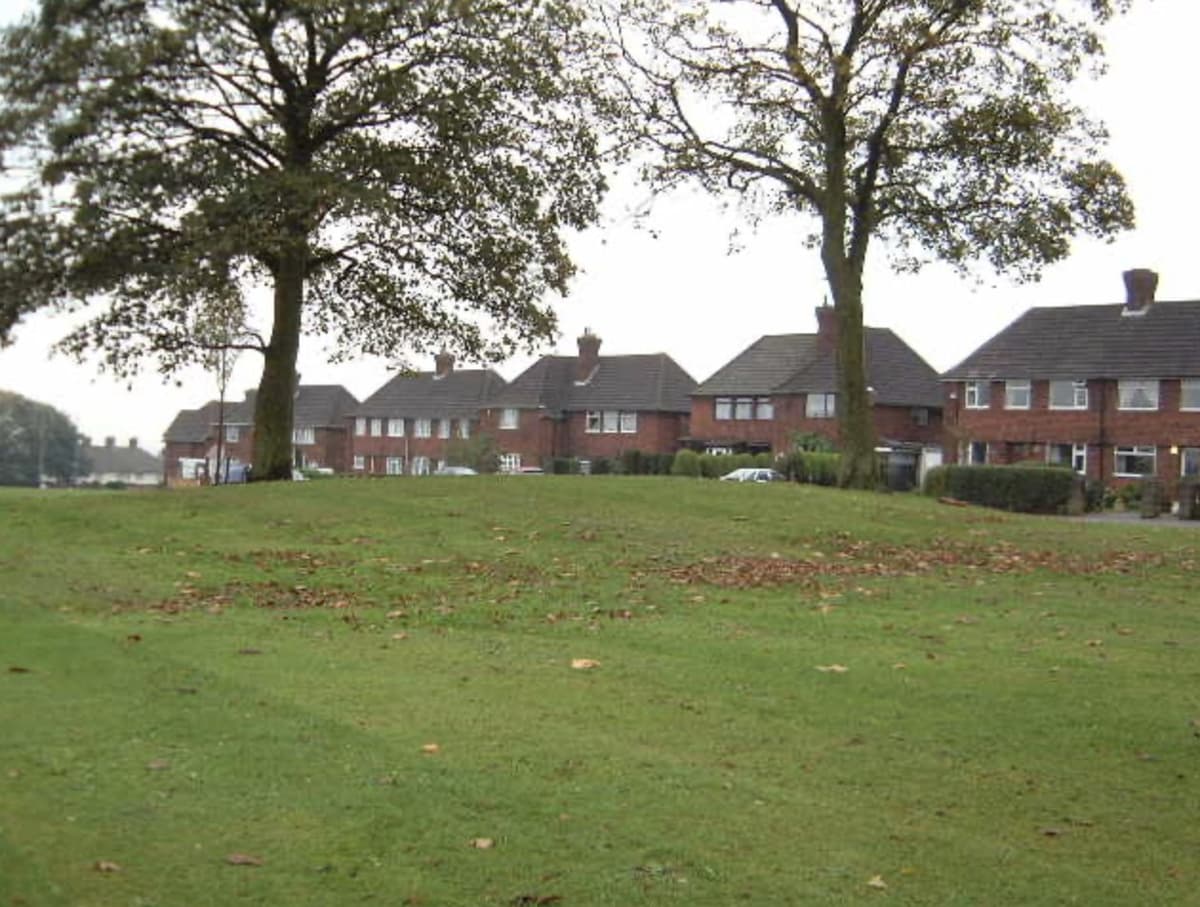
The King’s Standing mound
The low grassy mound that gave Kingstanding its name — a scheduled ancient monument beside the Roman road, wrapped in legends of treasure and King Charles I.
Kingstanding Together · Own work
Read more →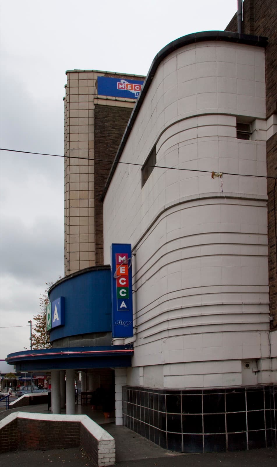 Grade II listed
The Odeon
The 1935 Art Deco cinema at Kingstanding Circle, from Harry Weedon’s practice — the estate’s landmark, and a building worth saving.
Tony Hisgett, 2010 · CC BY 2.0
Visit the page →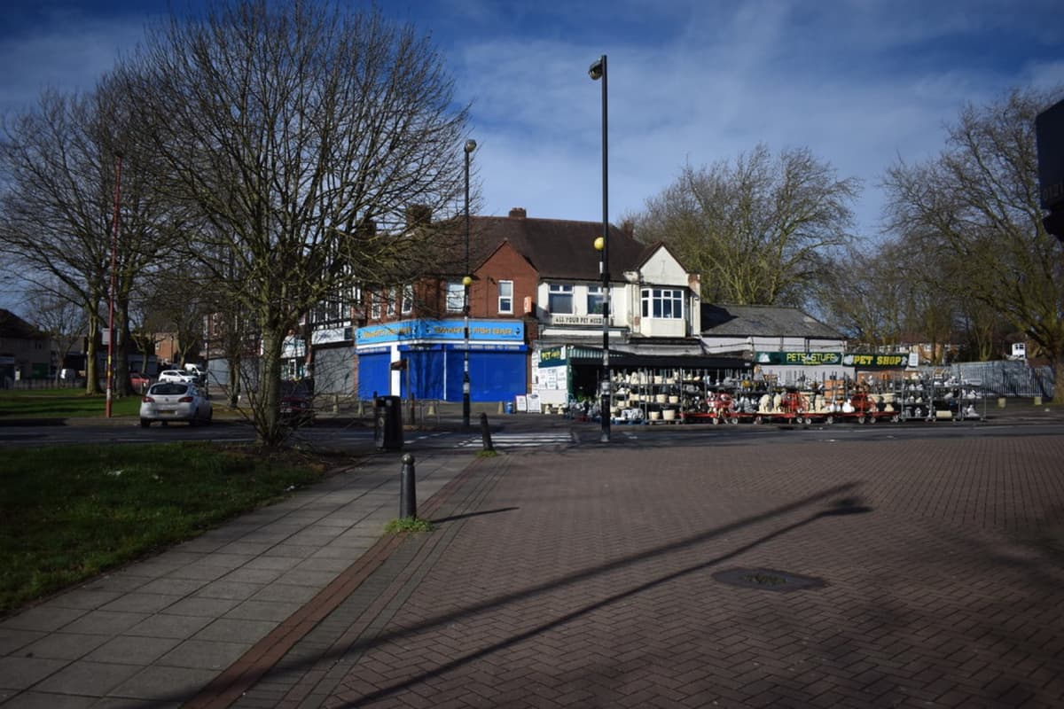 The Circle
Kingstanding Circle
The great roundabout where Kings Road meets Kingstanding Road — the heart of Kingstanding since the 1930s, ringed by shops, with the Odeon’s tower beside it.
Martin Richard Phelan · CC BY-SA 2.0
Read more →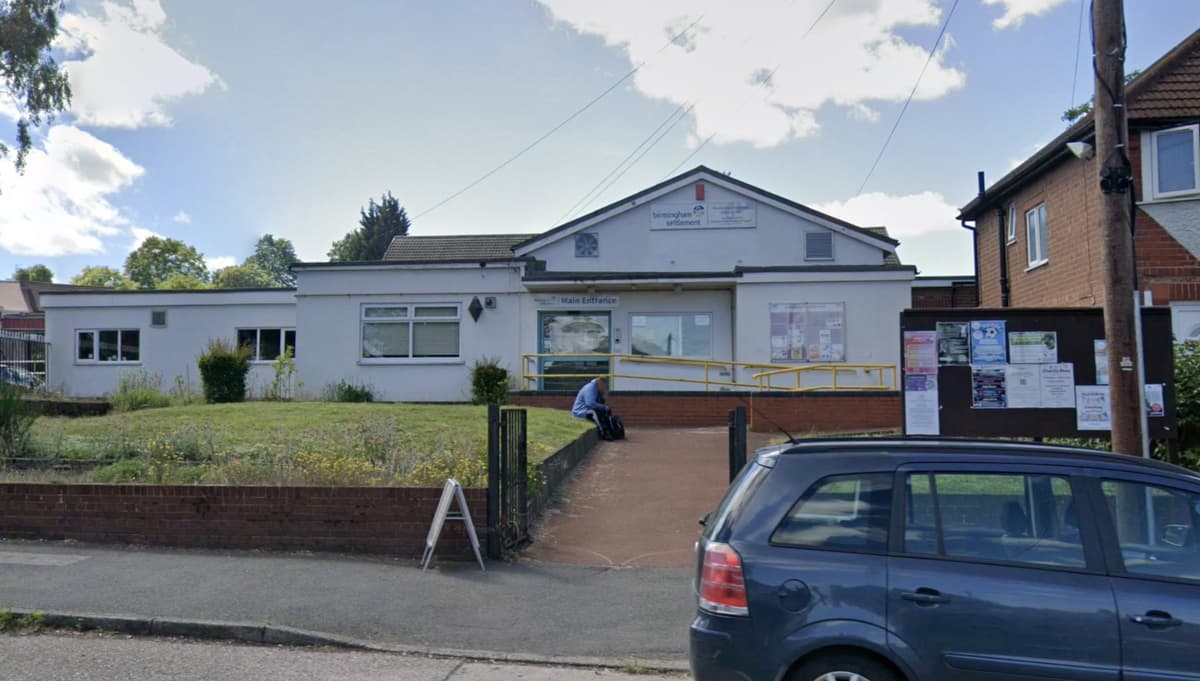 Community & charity
Birmingham Settlement, Kingstanding Road
One of Birmingham’s oldest charities, founded in Summer Lane in 1899. It followed its neighbours to the new Kingstanding estate in the 1930s — and today its centre on Kingstanding Road is the charity’s home.
Google Street View · Image © Google
Read more →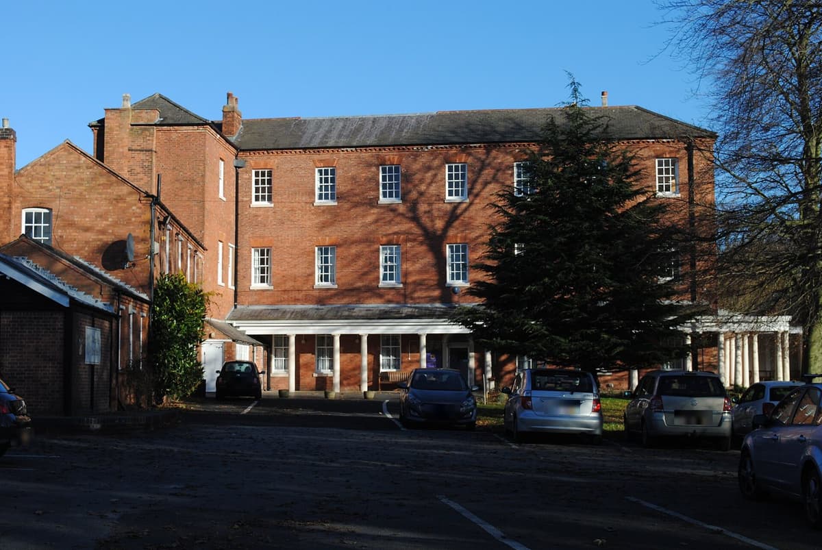 Grade II* listed
Maryvale, Old Oscott
The Grade II* listed house on Old Oscott Hill that was St John Henry Newman’s first home as a Catholic — he named it Maryvale in 1846. A home of Catholic worship and learning for more than three hundred years.
Andy Mabbett, 2016 · CC BY-SA 4.0
Read more →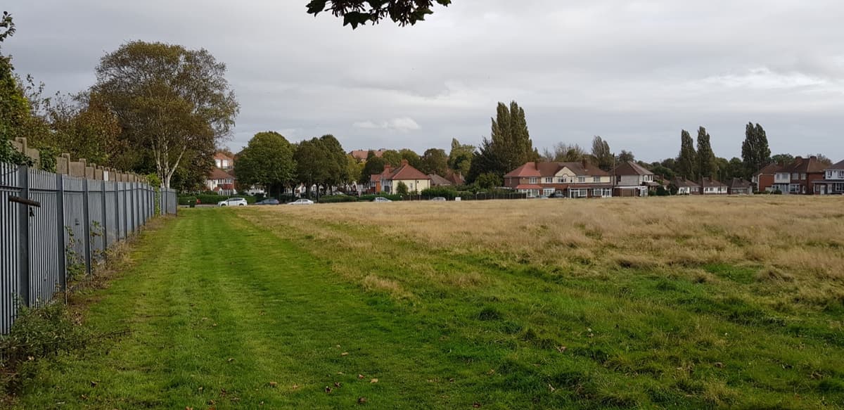 Green space
Burford Road Playing Fields
Open green playing fields in the middle of Kingstanding — room to run, play and walk, and one of the everyday green spaces that give the area its breathing room.
Paul Collins · CC BY-SA 2.0
Read more →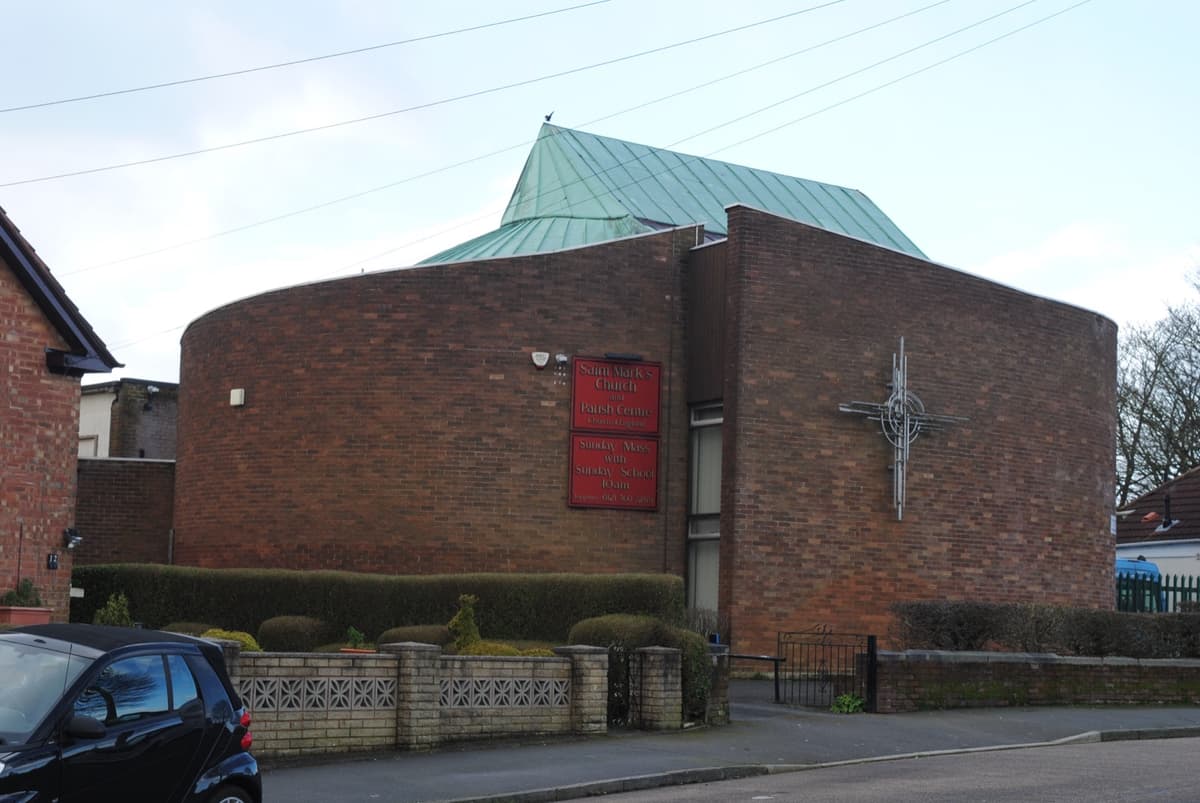 Faith & community
St Mark’s Church
The parish church on Bandywood Crescent — one of the places of worship and community Kingstanding’s new streets built for themselves.
Andy Mabbett, 2020 · CC BY-SA 4.0
Read more →- Green space
Kingstanding Wood
A plantation laid out after the enclosure of Perry Barr Common and Sutton Chase between 1814 and 1824 — the name Kings Standing Wood survives for woodland north of the estate.
Read more → 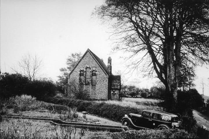 Faith & community
All Saints Church, Shady Lane
The church on Shady Lane, built soon after 1893 — older than the council estate — beside an old village school house first recorded in 1840.
Library of Birmingham, Local Studies and History Department, LSH WK K10 0112 (3/1332)
Read more →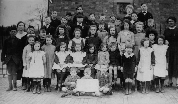 Schools & education
Kingsvale School
Kingstanding’s original village school, opened on Holly Lane in 1914 — before any of the council estate was built.
Library of Birmingham, Local Studies and History Department, LSH/ Warks Photo Survey WK-K10-0099 (3/1319)
Read more →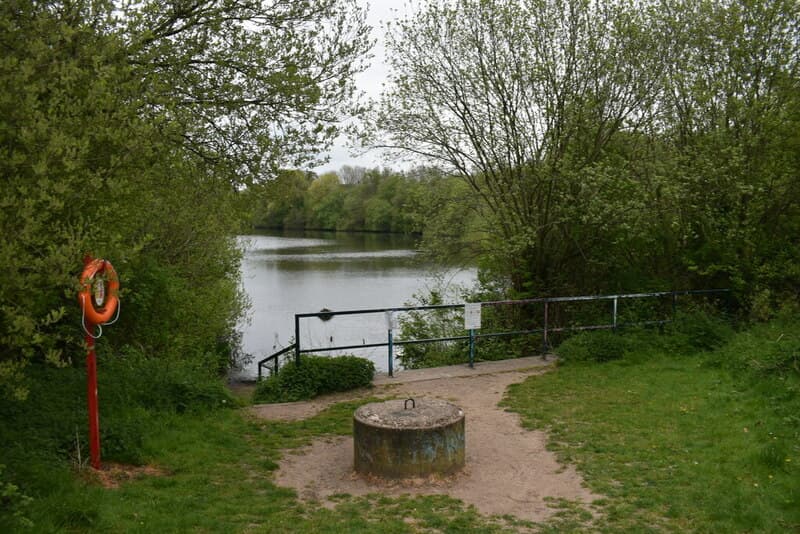 Nature reserve
Queslett Nature Reserve
Woodland, wildflowers and a lake in an old sand quarry off Queslett Road — on the land of Booth’s Farm, where a notorious forger was arrested in 1812. Home of Frylan Rock.
Martin Richard Phelan, 2022 · CC BY-SA 2.0
Read more →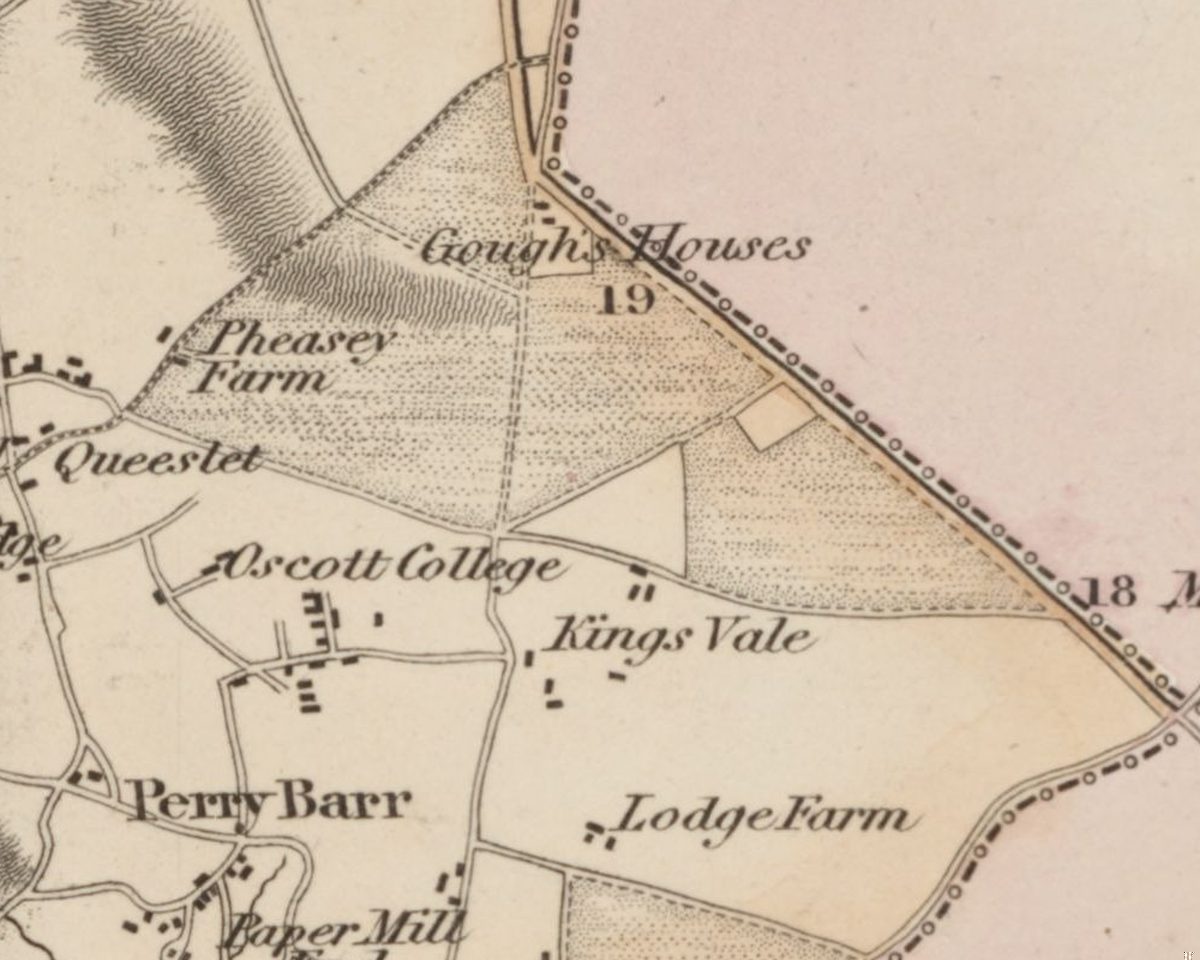 Lost common
Perry Barr Common and the Warrens
Before the houses, before the farms, Kingstanding was open heath and rabbit warren. An Act of 1811 and an award of 1814 turned it into the straight fields the estate was built on.
C. Greenwood, Map of the County of Stafford, surveyed 1819–20, published 1820 · Out of copyright
Read more →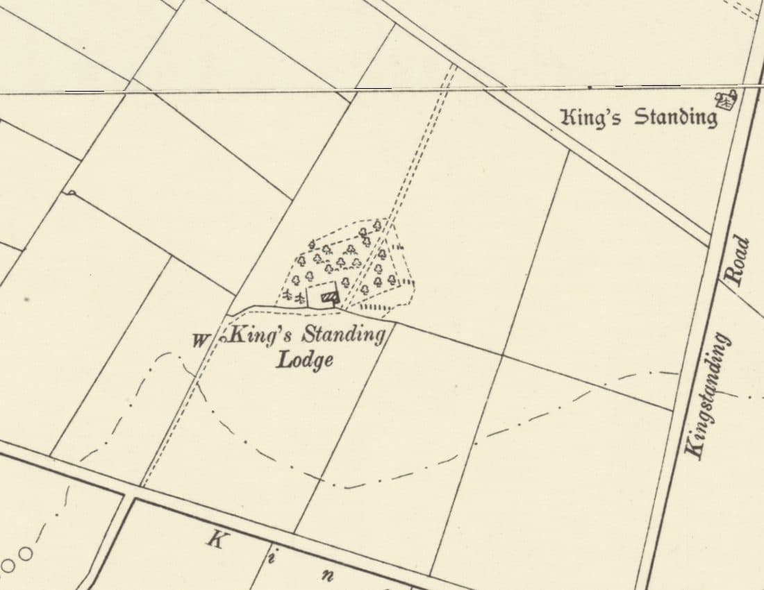 Lost house
King’s Standing Lodge and the Warren Houses
A lonely warrener’s house on the heath, on the map by 1775 and let with 300 acres of rabbit warren in 1820. It stood by today’s Bandywood Crescent until about 1930.
Ordnance Survey six-inch map, revised 1901, published 1904 · Out of copyright
Read more →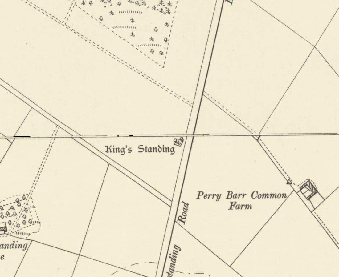 Roman road
Icknield Street
The Roman road from Wall to Metchley ran along the line of Kingstanding Road, past the King’s Standing mound and Romans Field.
Ordnance Survey six-inch map, revised 1901 · Out of copyright
Read more →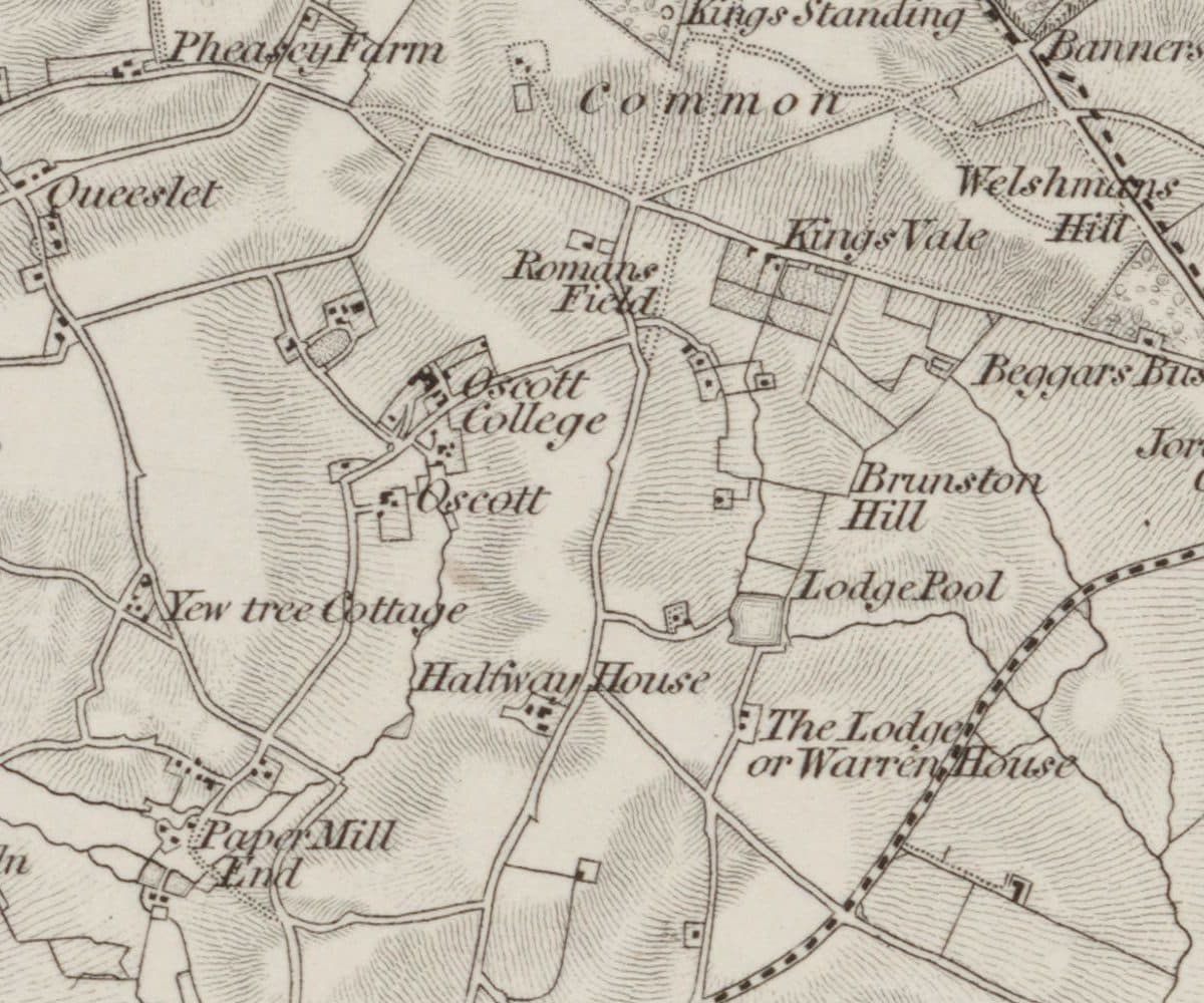 Roman findspot
Roman Field
A field beside the line of Icknield Street where Roman coins, including coins of Domitian, were turned up. Owned by the Catholic trustees at Oscott, it very probably became the waterworks site.
Ordnance Survey one-inch Old Series, revised 1831–32 (1863 printing) · Out of copyright
Read more →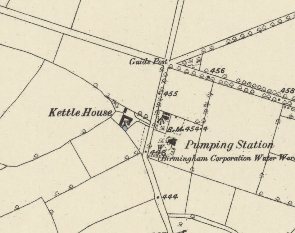 Lost farm
Kettle House Farm
The farm just south of today’s Circle that gave its name to the Kettlehouse estate: in the deeds by 1814, a Calthorpe farm from 1846, and farmed by the Judds until 1936.
Ordnance Survey six-inch map, surveyed 1882–83, published 1884 · Out of copyright
Read more →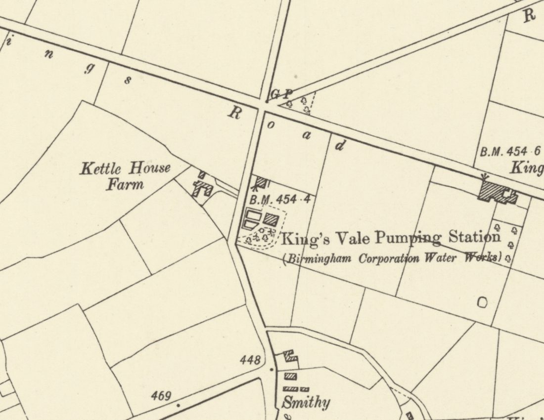 Lost waterworks
King’s Vale Well and Pumping Station
Birmingham’s waterworks sank a deep well here in the 1860s, expecting six million gallons a day. It gave 300,000, turned bad, and was disused by 1913. The site is now Wheeldon Recreation Ground.
Ordnance Survey six-inch map, revised 1901, published 1904 · Out of copyright
Read more →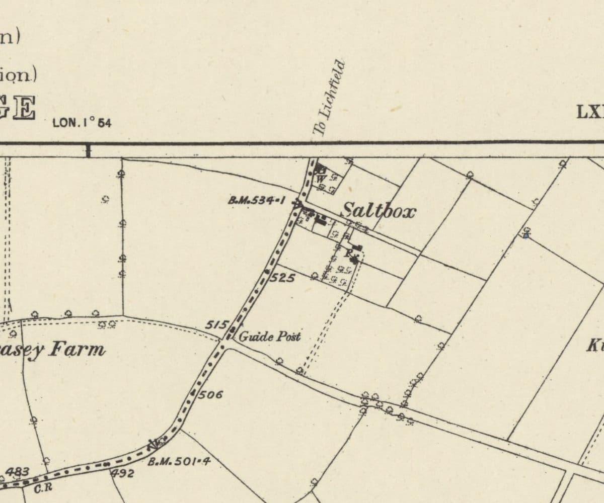 Lost hamlet
Saltbox
A handful of roadside cottages on the old road from Queslett towards Lichfield, carved out of Perry Barr Common after 1814 and still lived in when the estate arrived.
Ordnance Survey six-inch map, surveyed 1882–83, published 1884 · Out of copyright
Read more →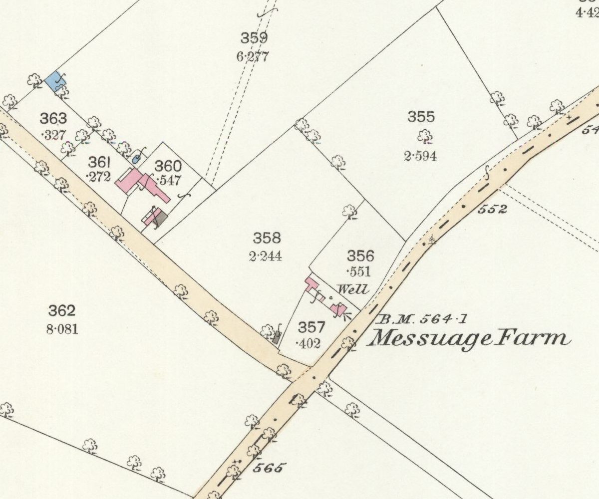 Lost farm
Messuage Farm
A 62-acre farm carved from Great Barr Common whose name headed the 1930 plan for the Kettlehouse estate, then quietly dropped off the map.
Ordnance Survey 25-inch map, surveyed 1882–83 (published 1884) · Out of copyright
Read more →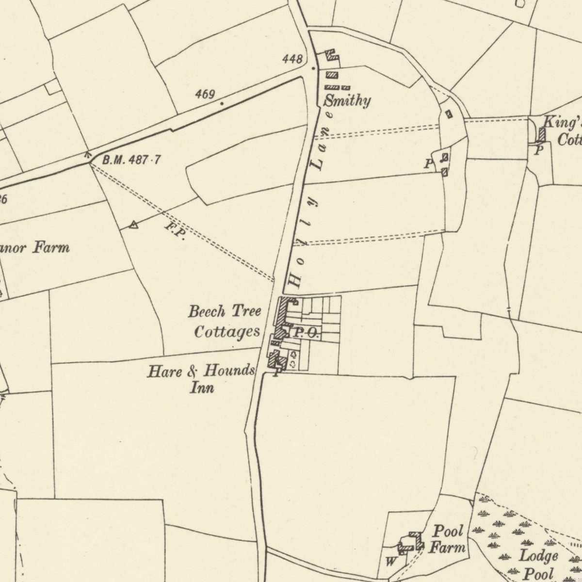 Lost lane and hamlet
Holly Lane
The old lane under southern Kingstanding Road, with its smithy, Beech Tree Cottages, post office and the inn that was both Greyhound and Hare & Hounds.
Ordnance Survey six-inch map, revised 1901 · Out of copyright
Read more →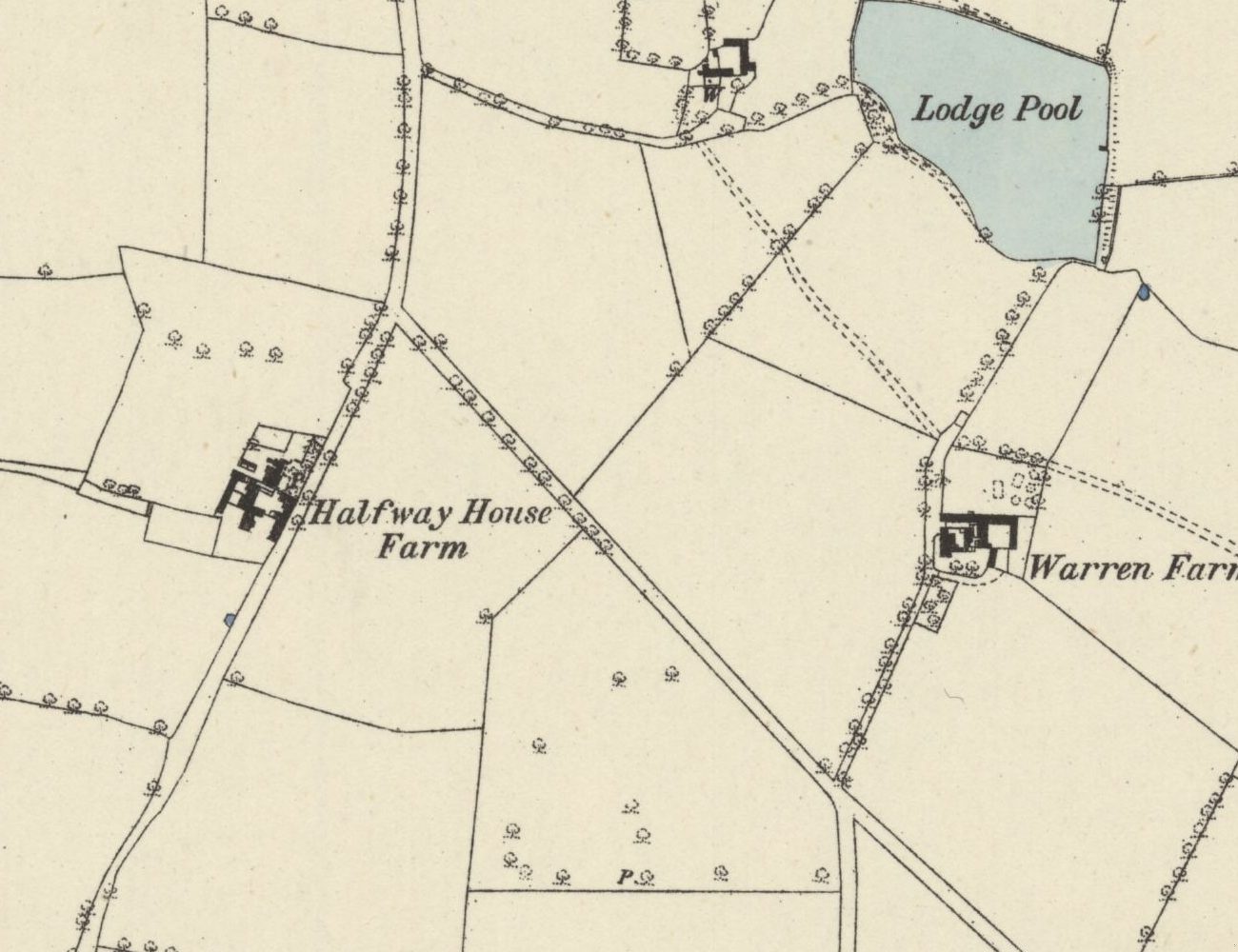 Lost farm
Halfway Farm
“Halfway House” on the 1831–32 map, home of Perry Barr’s tax collector, sold in 1921, and since 1938 the site of the drill hall on Kingstanding Road.
Ordnance Survey six-inch map, surveyed 1882–83 (published 1884) · Out of copyright
Read more →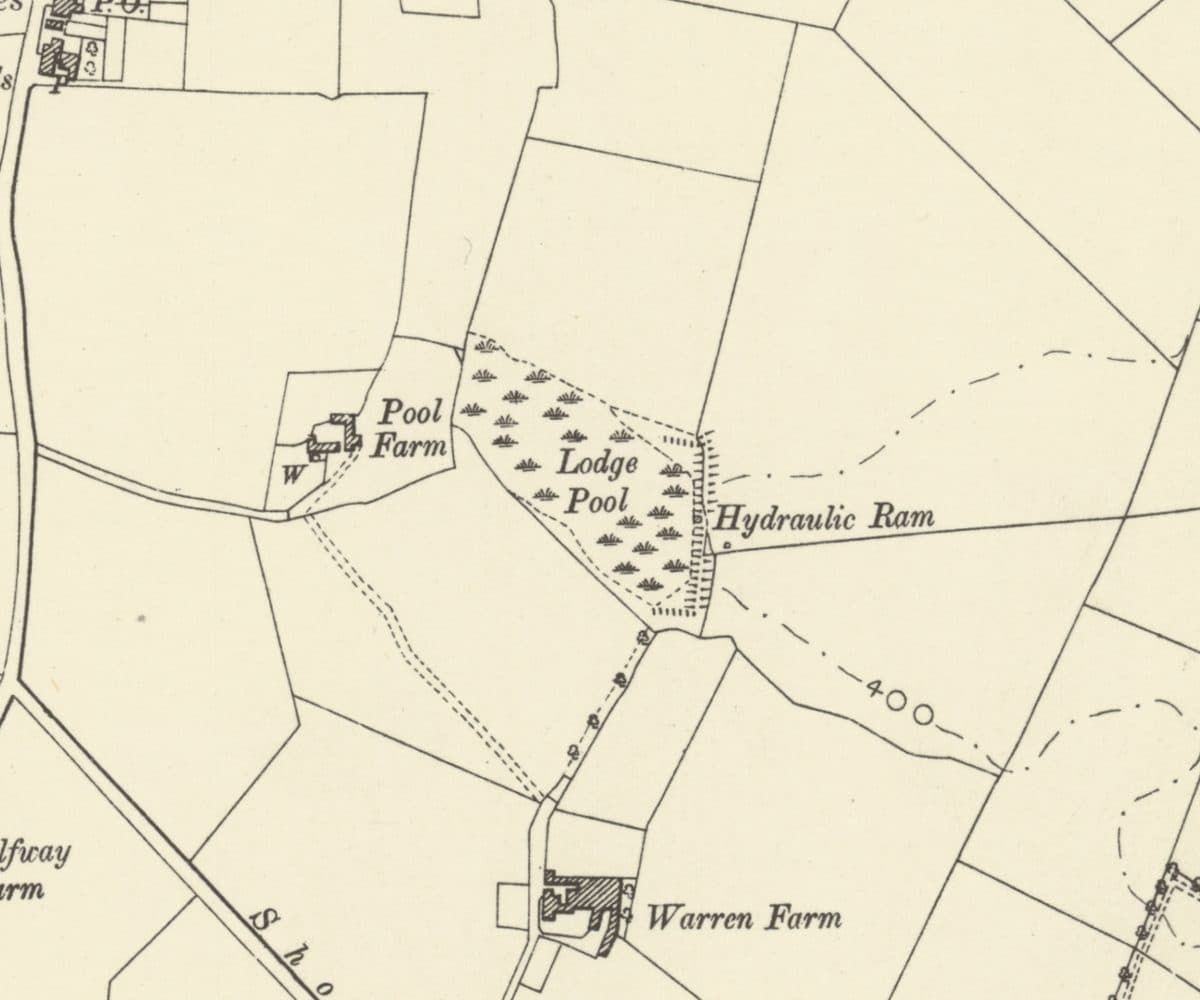 Lost farm
Warren Farm and Lodge Pool
A lodge on the rabbit heath that became Warren Farm, with Lodge Pool, a hydraulic ram and Pool Farm beside it, all now under the Warren Farm estate.
Ordnance Survey six-inch map, revised 1901 · Out of copyright
Read more →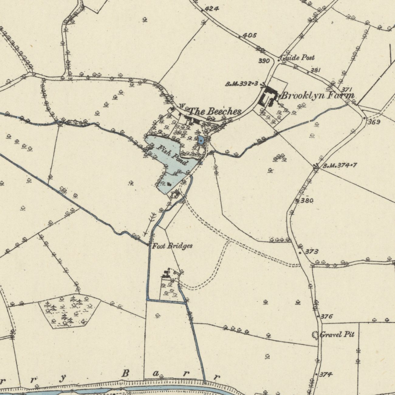 Lost mills
Paper Mill End and the Perry Barr mills
Blade mills, paper mills and a wire mill worked the Hol Brook below Old Oscott from 1597 until the 1840s. Paper Mill End still carries the name.
Ordnance Survey six-inch map, first edition, 1880s · Out of copyright
Read more →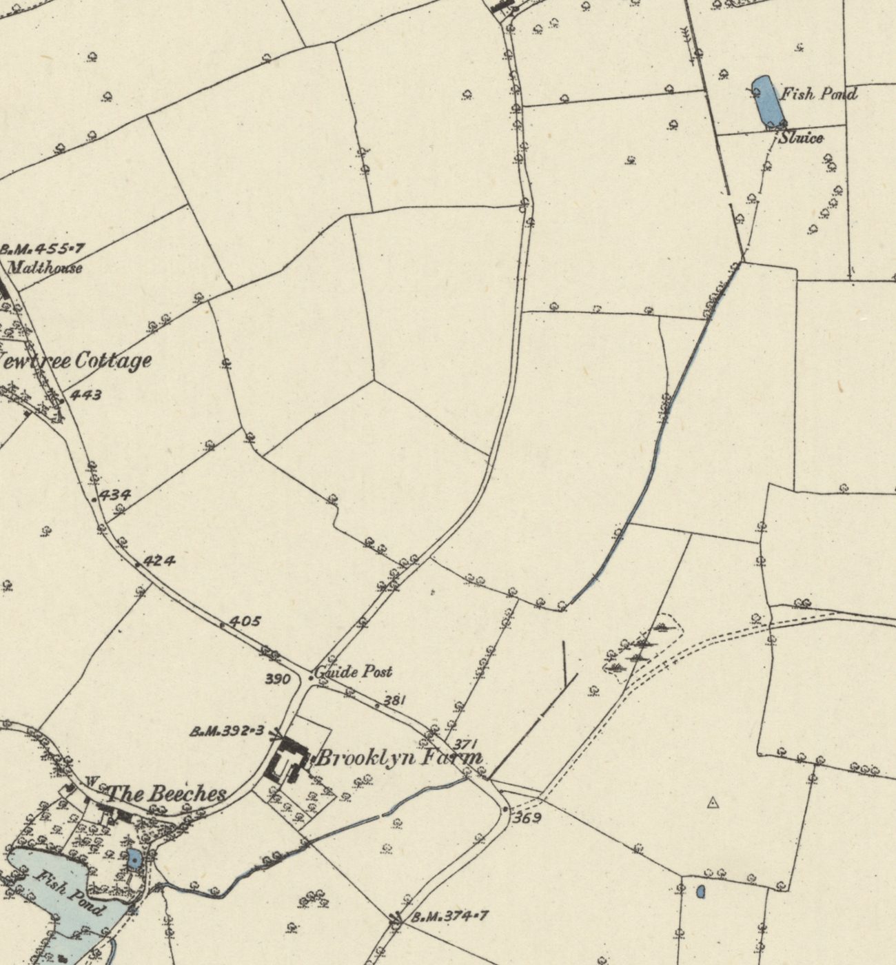 Lost brook
Oscott Brook
A small stream once ran from a fish pond at Old Oscott, along the line of Birdbrook Road, to the mill pool at The Beeches and on to the Tame. It went underground with the estate.
Ordnance Survey six-inch map, first edition, 1880s · Out of copyright
Read more →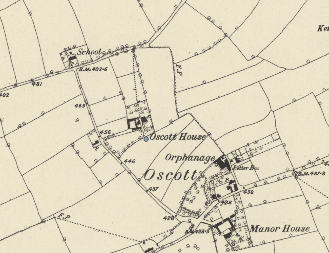 Lost hamlet
Medieval Oscott
Deeds from 1336 record a chapel at Oscott beside the Lichfield–Perry road, and “the town of Oscote” in 1392. Its Chapel Fields kept the name into the 1840s.
Ordnance Survey six-inch map, first edition, 1880s · Out of copyright
Read more →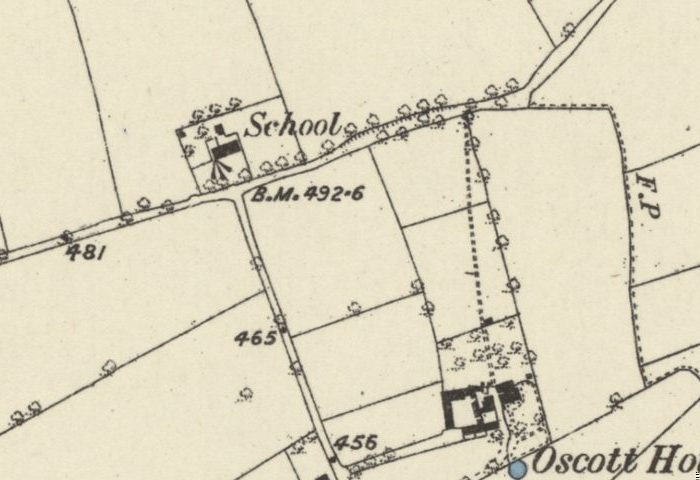 Lost school
The old school on Shady Lane
The school house beside All Saints on Shady Lane was recorded by 1840, ran as the Calthorpes’ Oscott Church School until 1900, and was photographed in 1938 before demolition.
Ordnance Survey six-inch map, first edition, 1880s · Out of copyright
Read more →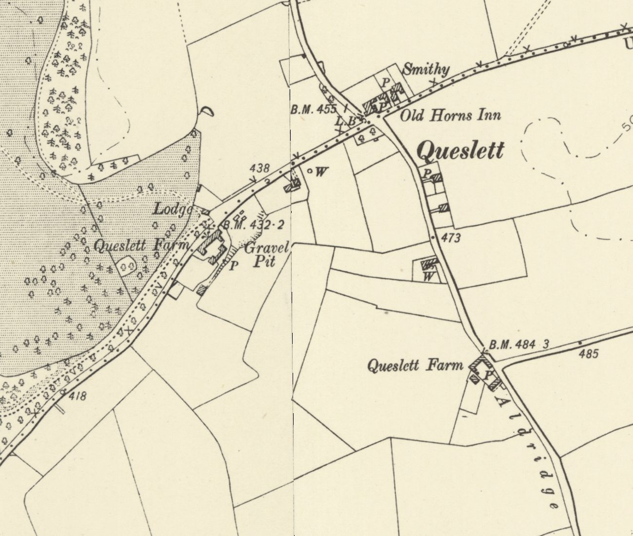 Lost lodge
Queslett Lodge and old Queslett
Queslett Lodge guarded the south-east drive to Great Barr Hall from about 1800, facing Queslett Farm and near the Old Horns. Its sister, Handsworth Lodge, still stands.
Ordnance Survey six-inch map, revised 1901 · Out of copyright
Read more →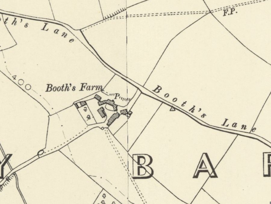 Lost farm
Booth’s Farm and William Booth
William Booth forged banknotes at Booth’s Farm until a raid in March 1812; his hanging took three attempts. The farmhouse stood until 1974 and its footings survive.
Ordnance Survey six-inch map, revised 1901 · Out of copyright
Read more →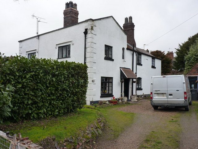 Grade II listed
Yew Tree Cottages, Booths Lane
A pair of stuccoed cottages on Booths Lane, probably late 17th century and split into two homes in the early 1800s — a rare survivor of old Queslett, listed Grade II.
Richard Law · CC BY-SA 2.0
Read more →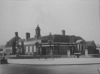 Lost pub
The College Arms
The 1930s pub on College Road: whippets out the back, bets passed to a man on the wall, sing-alongs at the piano — and a McDonald’s on the site today.
Photo: Birmingham History Forum (“out of copyright”, as credited on Voices of Kingstanding). Reproduced via Chris Hillcox, Voices of Kingstanding.
Read more →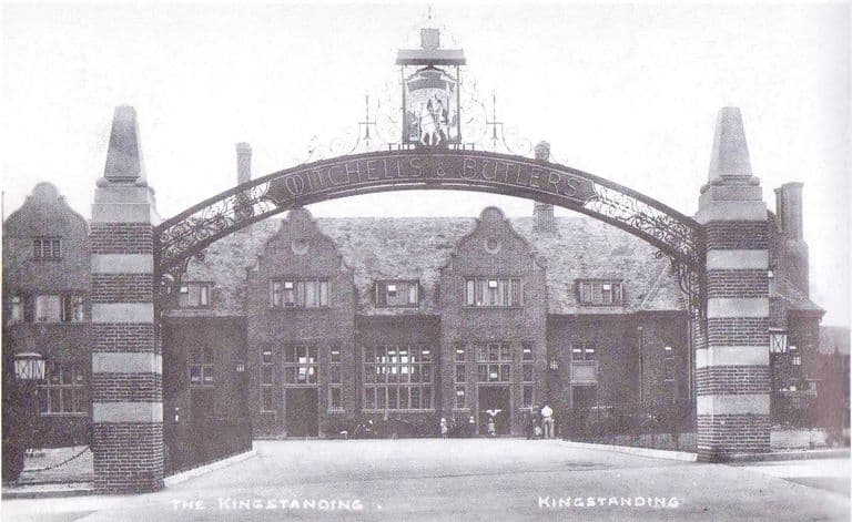 Lost pub
The Kingstanding pub
The great Mitchells & Butlers pub at the Circle: an iron arch, rooms galore, a bowling green and GIs on the lawn. Rebuilt twice, burnt in 2019, now a car park.
Postcard, 1936; publisher and photographer unknown
Read more →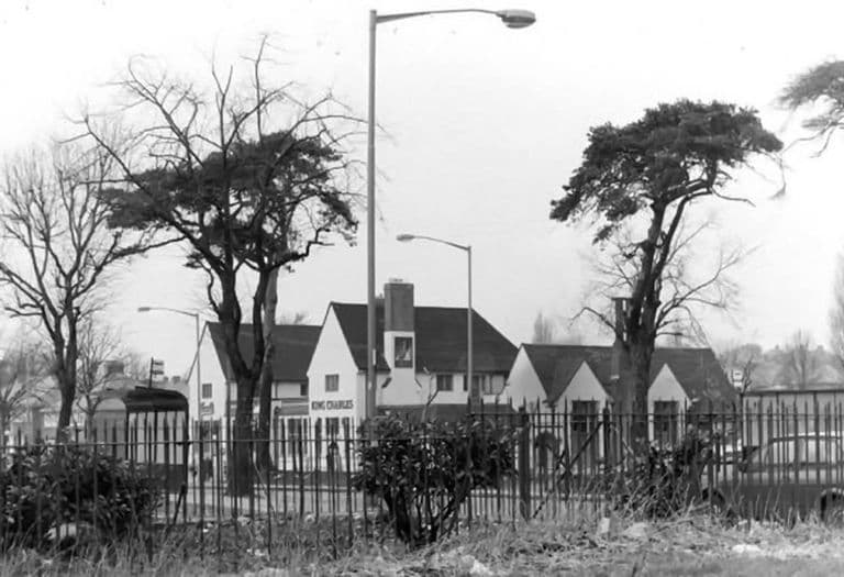 Lost pub
The King Charles
“The Charlie” on the corner of Kings Road and Hartley Road: Vimto by the railings, darts, piano, film shows and Saturday-night music. Houses stand there now.
Submitted by a resident of Oscott. Photo copyright Keith Wright (as credited on Voices of Kingstanding).
Read more →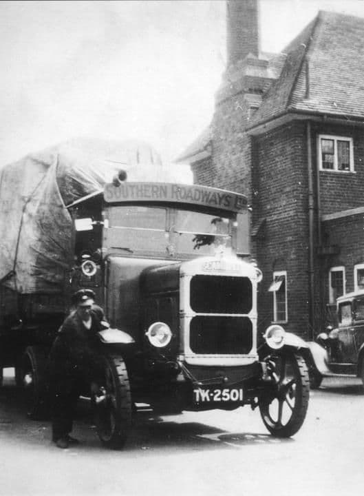 Lost pub
The Hare and Hounds
The 1931 Mitchells & Butlers roadhouse on Kingstanding Road, with terraced grounds down to a bowling green, GIs on the wall and long-serving landlords. Gutted by fire in 2016.
Library of Birmingham, Local Studies and History Department, LSH WK K10 0087 (3/1310)
Read more →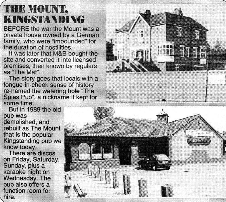 Pub
PubThe Mount
A big house high above Kings Road that became a Mitchells & Butlers pub, nicknamed “the Spies Pub”, rebuilt in 1989 and still open as the Mount Tavern.
Submitted by a resident of Oscott
Read more →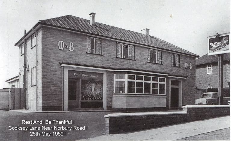 Pub
PubThe Sportsman’s Rest
Opened on Cooksey Lane in 1959 as the Rest and Be Thankful, a fair name after the climb up Kingstanding hill. Still pulling pints as the Sportsman’s Rest.
Submitted by a resident of Oscott
Read more →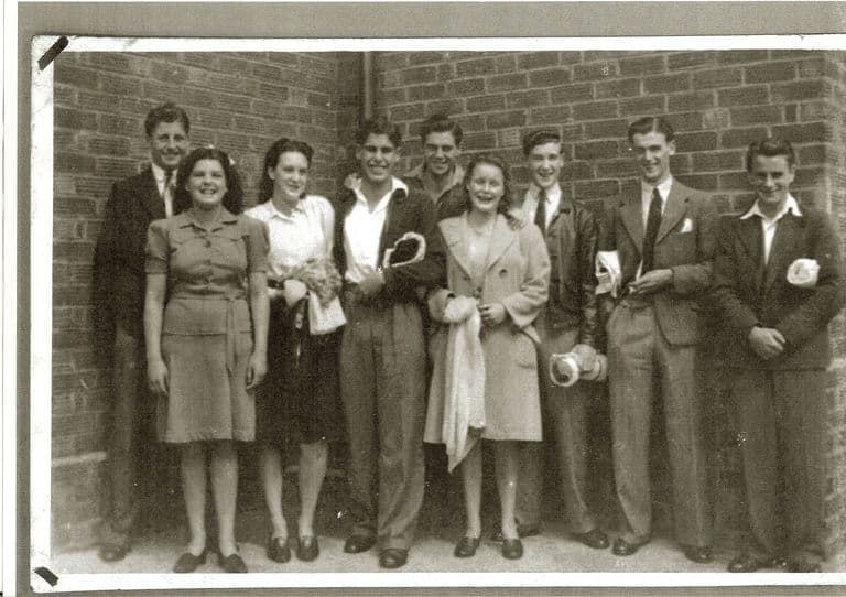 Club
ClubKingstanding Ex-Servicemen’s Club
The Warren Farm Road club paid for by half-crown whip-rounds: Saturday shows upstairs, Sunday films, swimmers in from the baths next door. Still at number 72.
Photo: Dennis Elwell. Reproduced with permission via Chris Hillcox, Voices of Kingstanding.
Read more →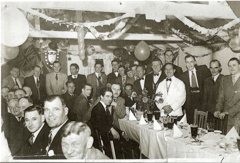 Club
ClubThe Warriors Club, Lambeth Road
The British Legion club on Lambeth Road that its own members helped to build, with a room named after Albert Roberts. Known to all as the Warriors; now the Crown.
Image reproduced with permission of Chris Hillcox, Voices of Kingstanding.
Read more →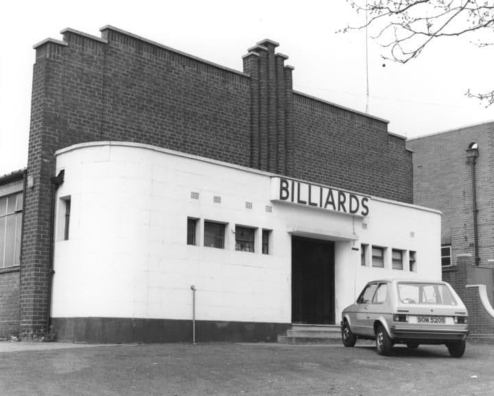 Snooker hall
The Royal Billiard Hall
The snooker hall beside Kingstanding police station: Harold the gaffer, a champion A team, cheese and onion sandwiches, and a young Graham Miles practising.
Library of Birmingham, Local Studies and History Department, WK K10 0010 (3/1242)
Read more →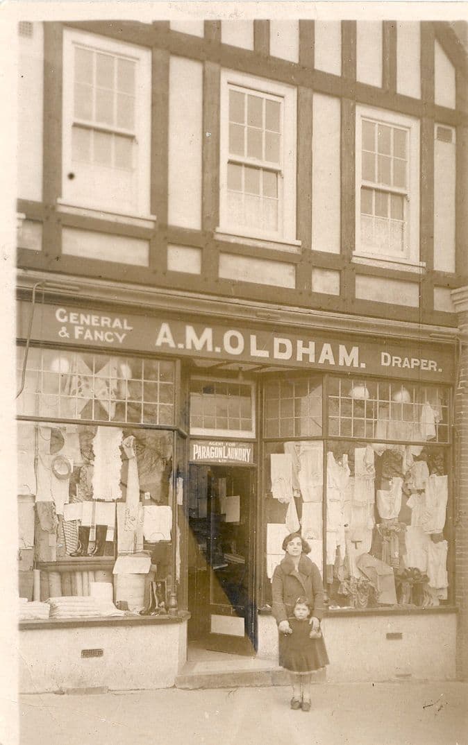 Shops
ShopsShops of the Circle
Oldham’s, John Favours, Rochelle’s, Knights, Lennons and the Co-op: the Circle’s shops and shopkeepers as Kingstanding remembers them, from 1930 to today.
Photo: Bernie Ryman. Reproduced with permission via Chris Hillcox, Voices of Kingstanding.
Read more →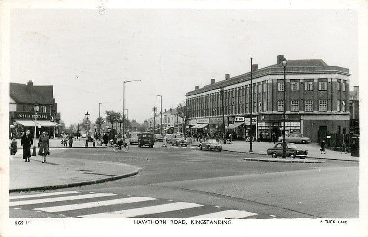 Shops
ShopsHawthorn Road shops
Kingstanding’s other high street: the Midlands’ first self-service Woolworths, Tranters the jeweller’s, Gwynnes’ toy window, Kirton’s papers and Miles the pet shop.
Raphael Tuck & Sons postcard, c. 1950 (TuckDB Postcards). Public domain
Read more →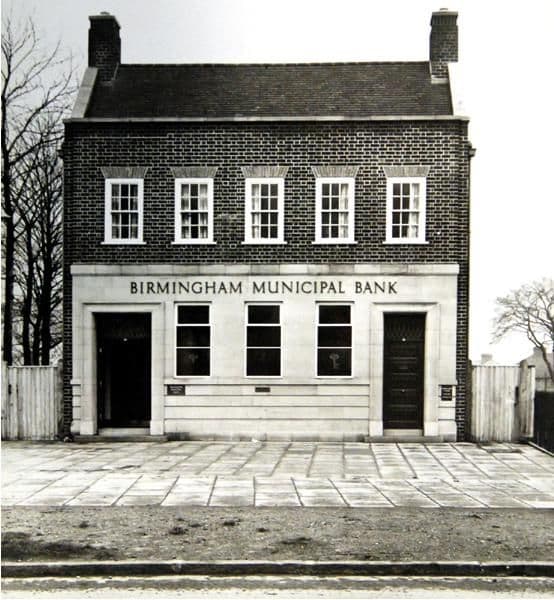 Bank
BankBirmingham Municipal Bank, Kingstanding
The city council’s own savings bank on Kingstanding Road: two evenings a week from 1932, a new branch opened by the Lord Mayor in 1937, money boxes and five shillings.
Photo: David Parkes. Reproduced with permission via Chris Hillcox, Voices of Kingstanding.
Read more →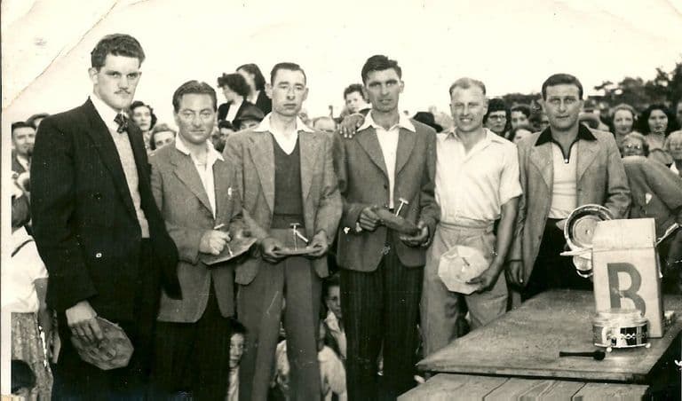 Lost dairy
The Co-op Dairy, Kingstanding Road
The Co-op milk depot beside the drill hall on Kingstanding Road: Clydesdales and sleighs in the war, electric floats and teenage “jockeys” in the 1960s.
Photo: Bernie Ryman. Reproduced with permission via Chris Hillcox, Voices of Kingstanding.
Read more →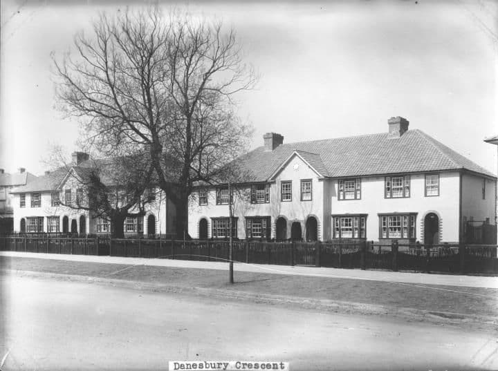 Lost coal yard
Chas. H. Davis’s Coal Yard
A small coal yard in Danesbury Crescent, behind the baths, where post-war families queued with barrows and old prams for coal, slack and “nutty slack”.
Library of Birmingham, Local Studies and History Department, LSH WK K10 0027 (3/1258)
Read more →- Lost swimming baths
Kingstanding Baths
The Warren Farm Road swimming baths, opened in 1938: free passes, the high board, a penny Oxo upstairs and dances on boards laid over the pool.
Photo: Dennis Elwell. Reproduced with permission via Chris Hillcox, Voices of Kingstanding.
Read more → 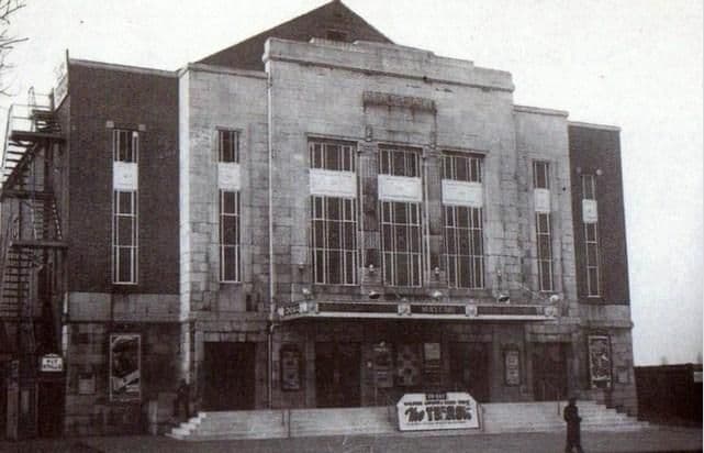 Lost cinema
The Mayfair Cinema
The Mayfair on College Road, 1931–1964: Saturday matinées, orange peel from the circle, a doorman children took for a general, and an Aldi car park today.
Photo: Cinema Treasures (cinematreasures.org) (as credited on Voices of Kingstanding). Reproduced via Chris Hillcox, Voices of Kingstanding.
Read more →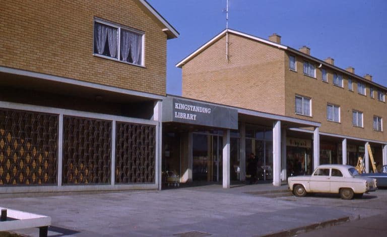 Public library
Kingstanding Library
For thirty years Kingstanding borrowed its books from a room in the Methodist church. In June 1964 it got a library of its own on Kingstanding Road.
Photo: Ron Jameson. Reproduced with permission via Chris Hillcox, Voices of Kingstanding.
Read more →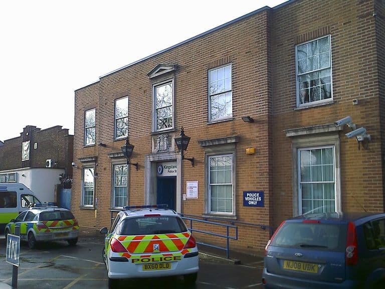 Former police station
Kingstanding Police Station
The police station by the Circle on Kingstanding Road: an air-raid siren on the roof, a hospital “danger list” outside, lost dogs and kit bags within.
Image reproduced with permission of Chris Hillcox, Voices of Kingstanding.
Read more →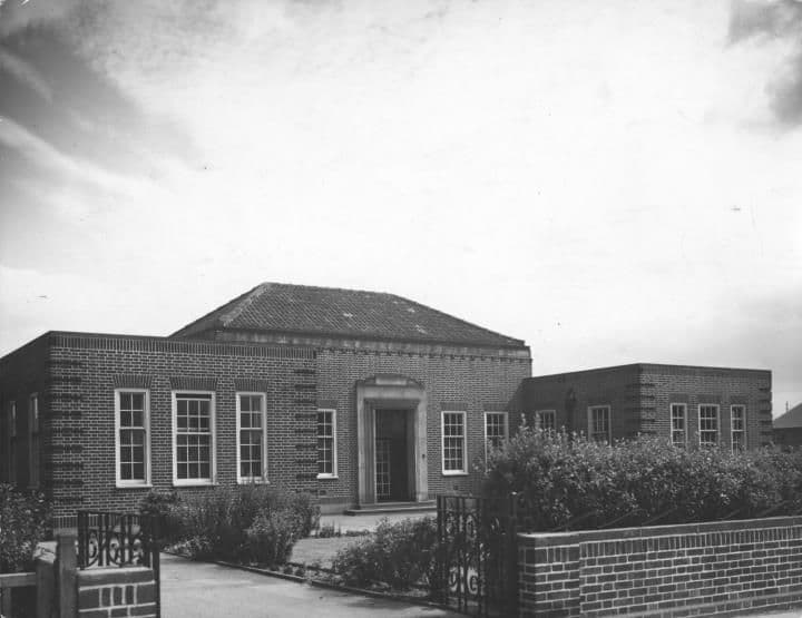 Health clinic
Warren Farm Road Clinics
The estate’s health clinics on Warren Farm Road: cod liver oil and orange juice for babies, jabs and head checks, and a school dentist nobody forgot.
Library of Birmingham, Local Studies and History Department, LSH WK K10 0134 (3/1352)
Read more →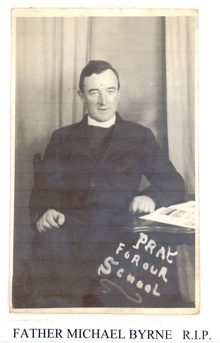 Catholic parish church
Christ the King Church
Kingstanding’s Catholic parish, founded in 1932: Mass in a pub assembly room, a wooden church called home for thirty years, and the church of 1962.
Image reproduced with permission of Chris Hillcox, Voices of Kingstanding.
Read more →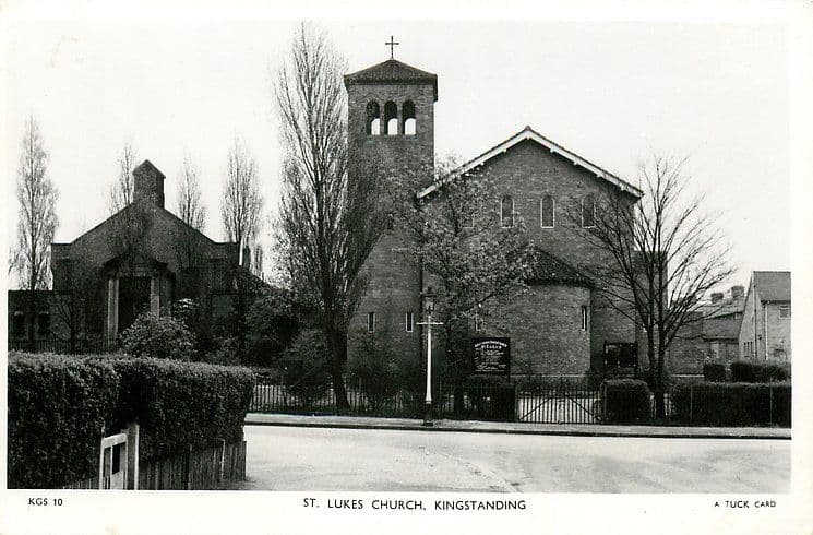 Parish church
St Luke’s Church
Kingstanding’s first Church of England parish, consecrated in 1937: incense and chairs, a Dutch vicar with holes in his socks, and seventy years of weddings.
Raphael Tuck & Sons postcard, c. 1950 (TuckDB Postcards). Public domain
Read more →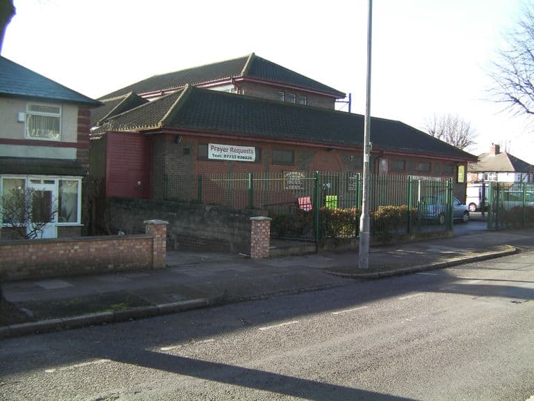 Methodist church
Kings Road Methodist Church
The Methodist church on Kings Road, begun as a “House of Friendship” in 1934: home of the 29th Boys’ Brigade, a wartime library and a borrowed school.
Image reproduced with permission of Chris Hillcox, Voices of Kingstanding.
Read more →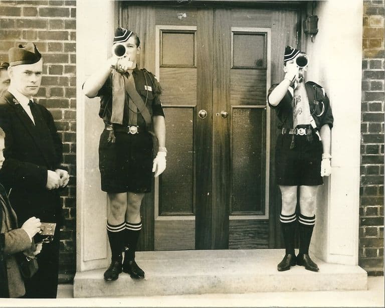 Baptist church
John Bunyan Baptist Church
A Baptist church that grew from a 1939 Sunday school in Kingsland Road School to a hall in 1948 and a new church on Lambeth Road, opened in 1963.
Image reproduced with permission of Chris Hillcox, Voices of Kingstanding.
Read more →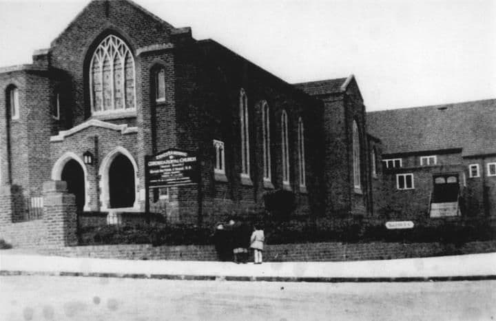 Lost church
Ebenezer Memorial Congregational Church
The Congregational church on the corner of Brackenbury Road and Dulwich Road, finished in 1934: Sunday school, the 213th scouts, rock and roll in the hall.
Library of Birmingham, Local Studies and History Department, LSH WK K10 0132 (3/1350)
Read more →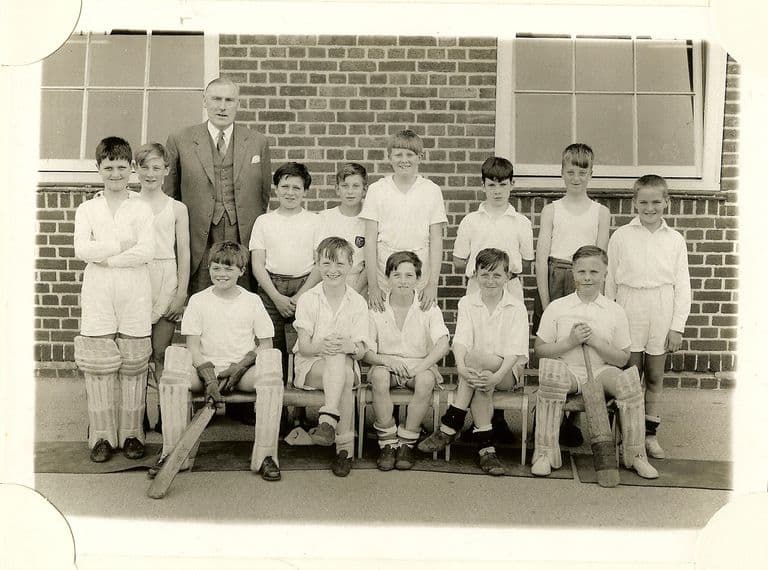 Lost school
King’s Rise School
King’s Rise secondary school on Peckham Road, 1945–1989: maroon blazers, Pop Mason, a Villa goalkeeper, 1976 photographs, and houses where it stood.
Image reproduced with permission of Chris Hillcox, Voices of Kingstanding.
Read more →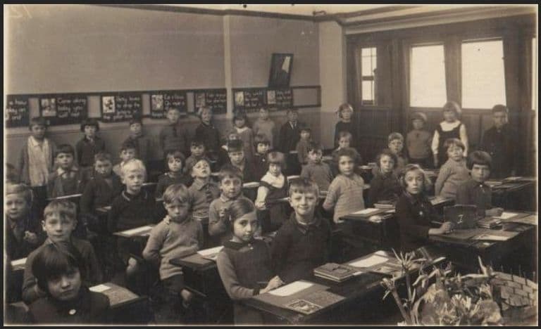 Estate school
Twickenham Road School
Opened in huts in 1930 for the new Warren Farm estate, Twickenham Road School has taught Kingstanding children ever since, through gas-mask drill, dancing and cups.
Photo: John Jarrett. Reproduced with permission via Chris Hillcox, Voices of Kingstanding.
Read more →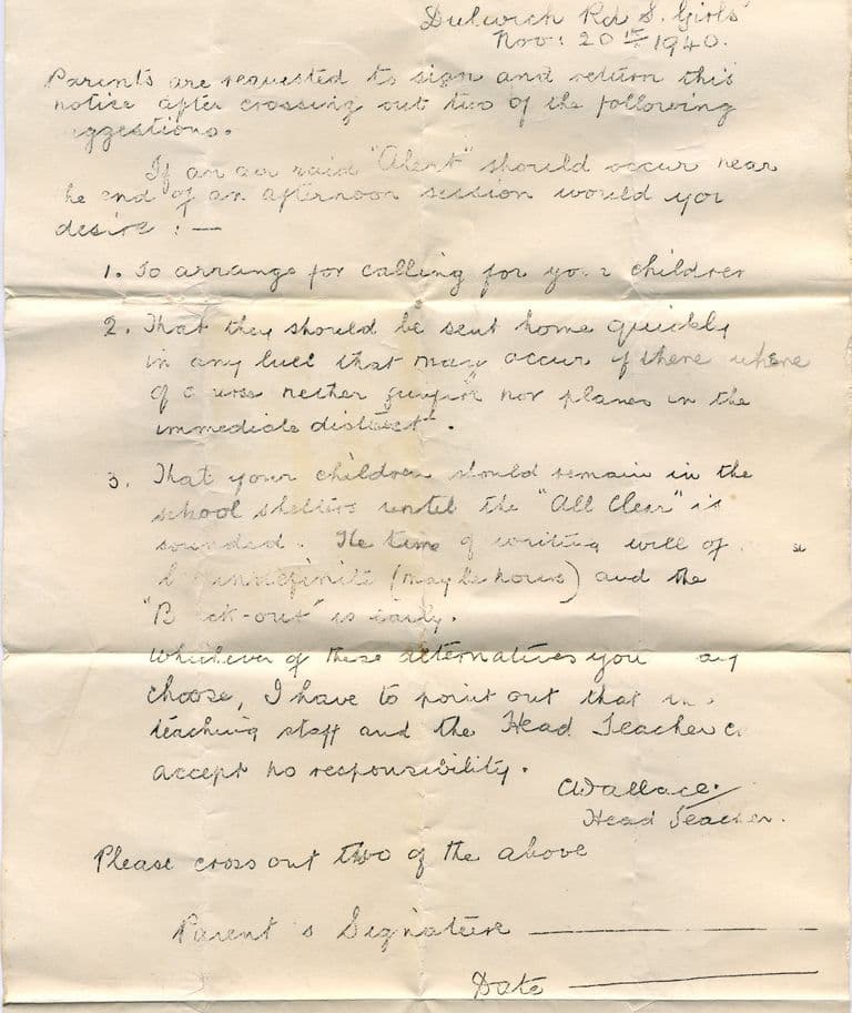 Estate school
Dulwich Road schools
Warren Farm’s schools on Dulwich Road, from 1930 huts to air-raid letters, 1936 hall murals and a school song — a primary that still teaches and a hall that still shows the murals.
Courtesy of Lee Lewis. Reproduced with permission via Chris Hillcox, Voices of Kingstanding.
Read more →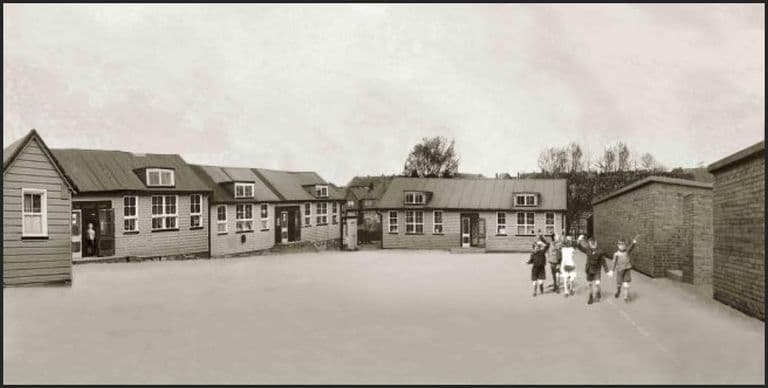 Estate school
Sundridge Road School
Opened in 1940 in temporary buildings beside new air-raid shelters, Sundridge Road School grew up with the war, a Festival of Britain pageant and Mr Poole’s pond.
Image reproduced with permission of Chris Hillcox, Voices of Kingstanding.
Read more →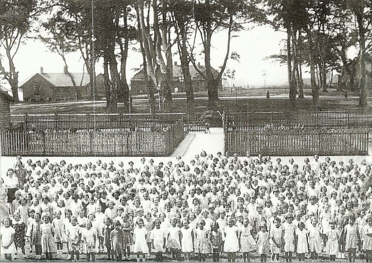 Estate school
Kingsland Road schools
Planned as the Kettlehouse Farm Estate school, opened in 1935 and split into boys’ and girls’ junior schools in 1937: May Queens, maypoles and a rebuilt school today.
Image reproduced with permission of Chris Hillcox, Voices of Kingstanding.
Read more →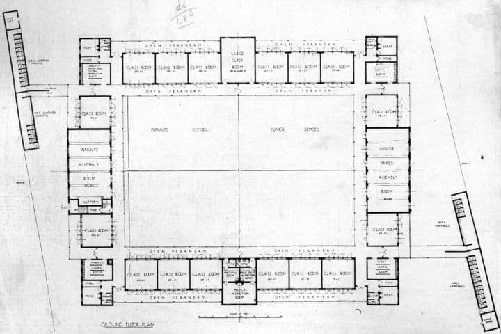 Estate school
Kingsthorne School
Cranbourne Road School opened in 1931 round a courtyard designed by J. H. Hawkes and Son; renamed Kingsthorne in 1954, it has taught the estate’s children ever since.
Library of Birmingham, Local Studies and History Department, LSH WK K10 0054a (3/1280)
Read more →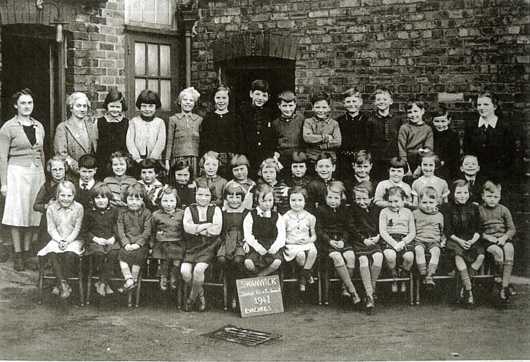 Estate school
Peckham Road School
The estate school that opened on Peckham Road in 1931: huts, a borrowed annexe, evacuees sent to Derbyshire in 1941, and the teachers pupils never forgot.
Photo: Kingstanding Library (as credited on Voices of Kingstanding). Reproduced via Chris Hillcox, Voices of Kingstanding.
Read more →
Looking after these places. These pages tell the story of Kingstanding’s places. To see what Kingstanding Together is doing for them, visit Kingstanding Green Spaces and Heritage & Conservation.
The Kingstanding we’ve lost
Not everything survived. The Woolworths on Hawthorn Road, shops and pubs that anchored the parades, corners of the old estate remade over ninety years — much of it lives now only in memory and family photographs. Gathering it before it’s gone for good is exactly what this group is for, so the Odeon isn’t the only piece of Kingstanding we manage to save.
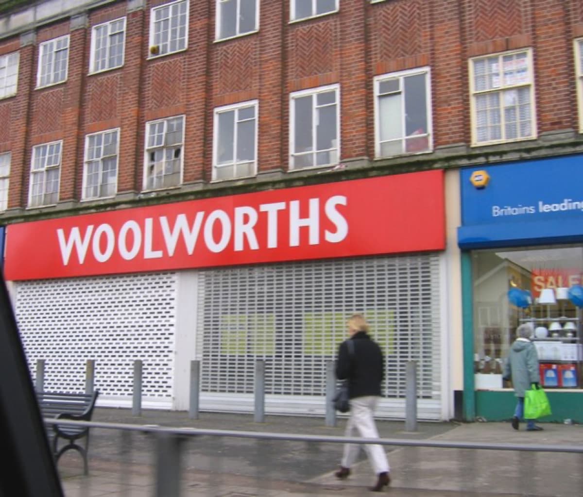 Roy Hughes · CC BY-SA 2.0
History sourced from Historic England’s listing and scheduling records, the Birmingham history research of Bill Dargue, and Wikipedia. Photographs are used under Creative Commons licences and credited to their photographers — full details on our photo credits page.