
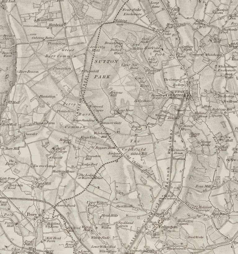
In December 1886 the Walsall Observer printed a lecture on local archaeology by a Dr Wilmore. Following the line of Icknield Street, the old Roman road, he came to “a field called Romans’ field, where coins of Domitian and other Roman Emperors have been turned up.”
The field he meant very probably lies under Kingstanding. The coins themselves have not been traced, and nor has any record of who dug them up. But the field can be pinned down, and its story runs from the Roman road to a Catholic bishop to the Birmingham waterworks.
Coins in the soil
The coins are real enough to have reached the archaeologists. Historic England’s record for the spot reads simply: “Roman coins found in Roman Field.” Mike Hodder, later Birmingham’s planning archaeologist, wrote in 1988 that at least eight coins of the first and second centuries, “possibly a disturbed hoard”, had been found there before 1884. When, and by whom, no source seen so far says.
Finding the field
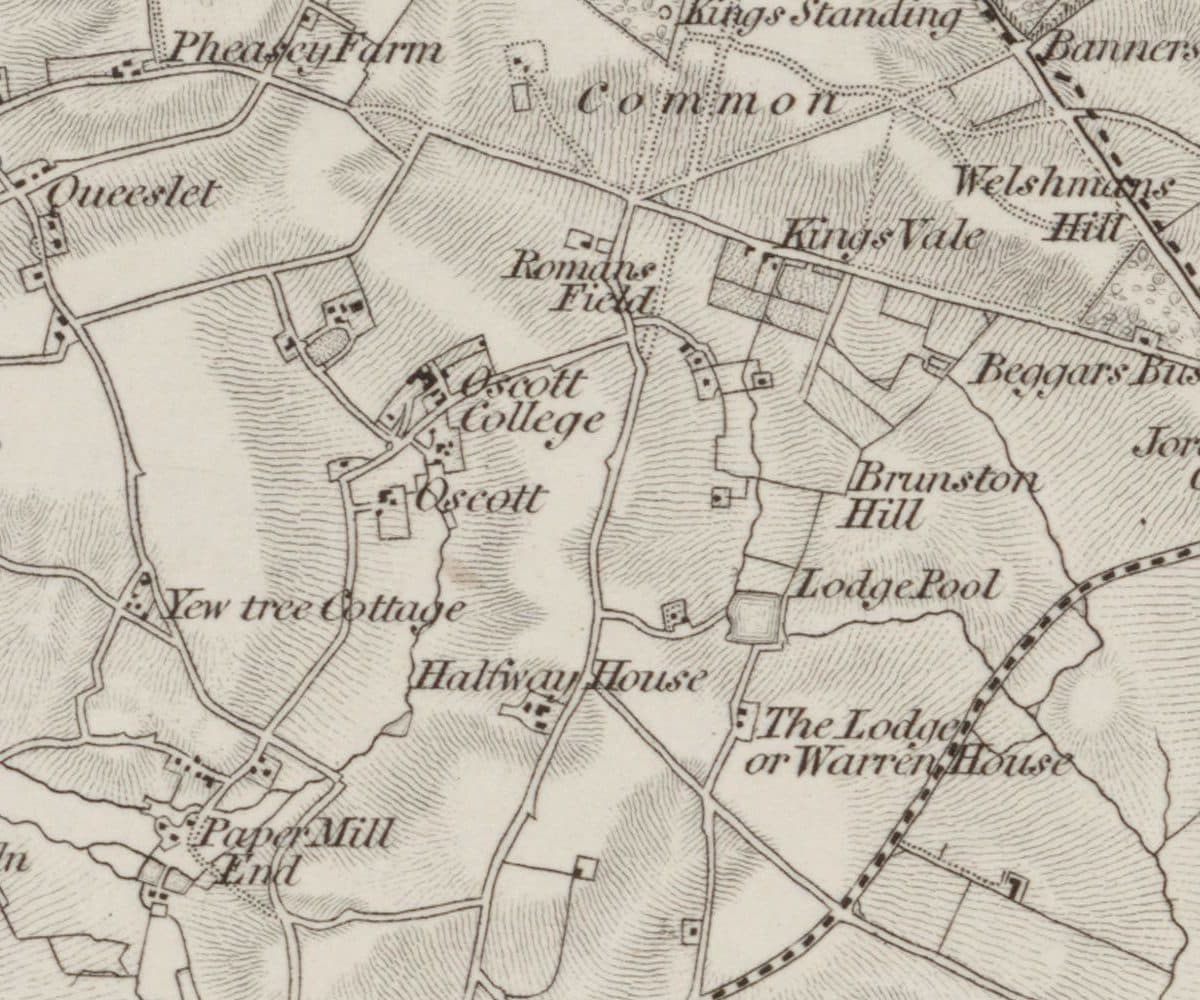
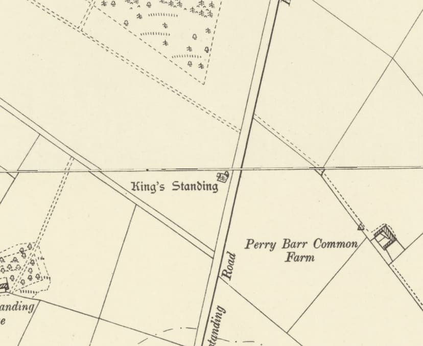
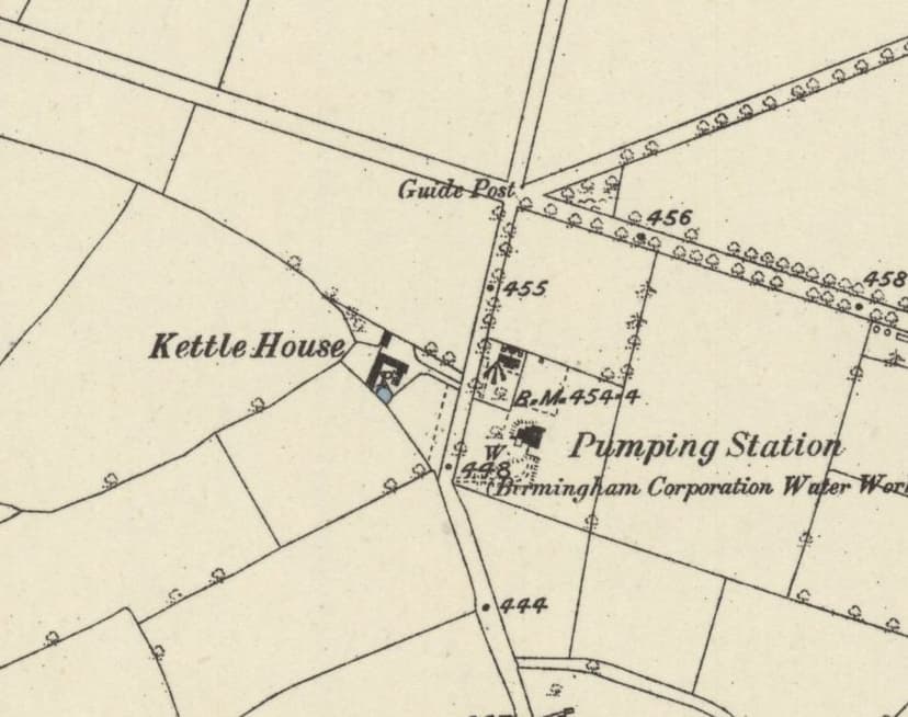
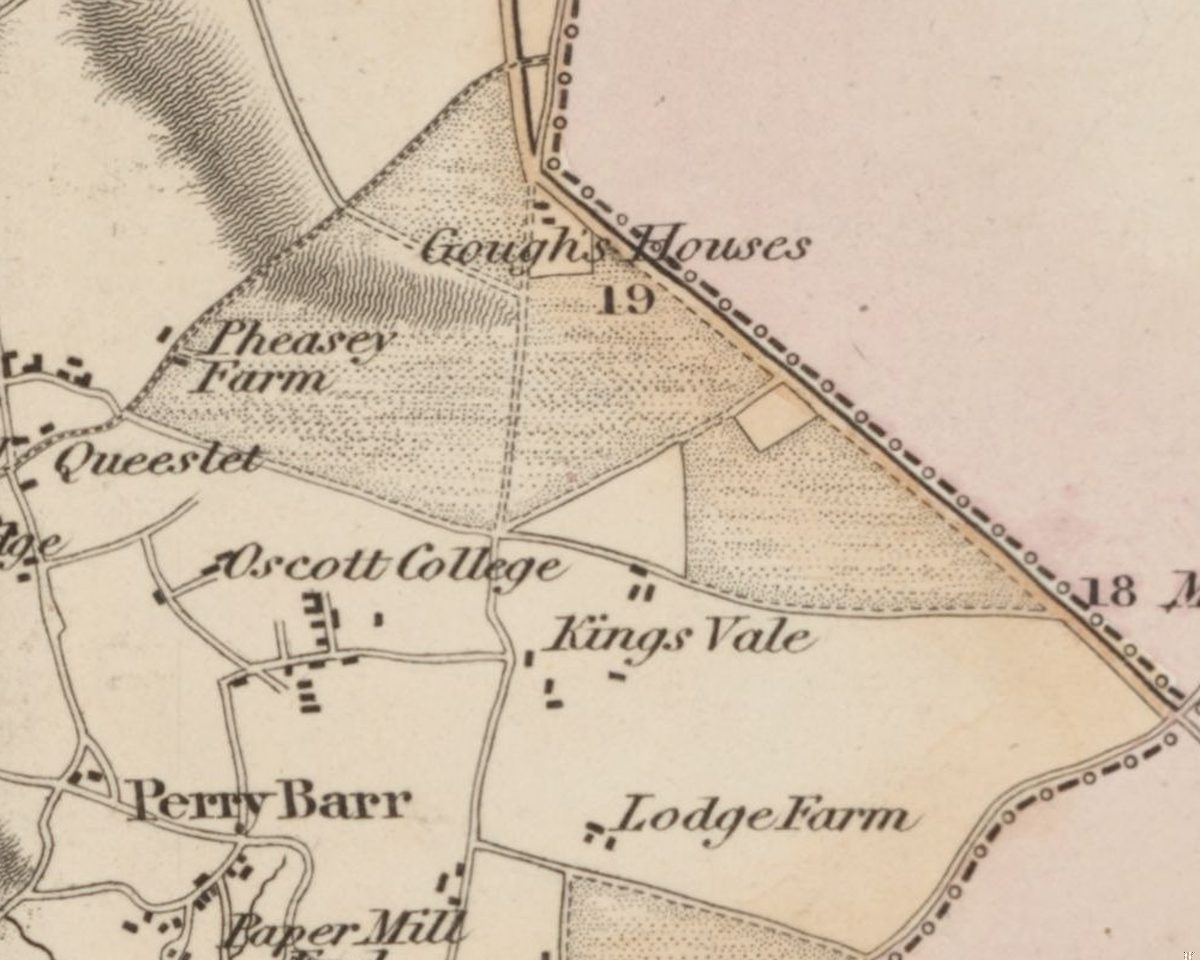
The first Ordnance Survey map, revised in 1831–32, prints “Romans Field” just south-west of the crossroads where Kings Road met the road north, close to where the Circle is now. The parish tithe map of 1841 had a Roman Field and a Lower Roman Field. A walking route printed in 1863 went “the Gough’s Arms, Oscott College, Romans’ Field, King’s Standing, and enter the Park”, which puts the field south of the King’s Standing mound.
Historic England’s point falls on the west side of Kingstanding Road, around 250 metres south of the Circle. Wilmore placed his field further north, where the Roman road crosses the Old Chester Road, but the maps and deeds are the stronger evidence. A later claim that it lay a kilometre south, near Warren Farm Road, gives no source.
A field that belonged to the Church
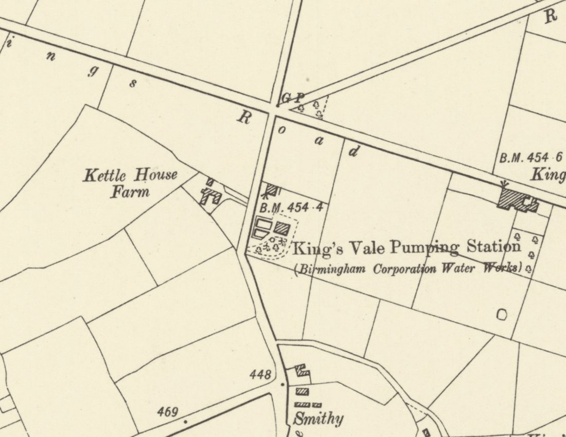
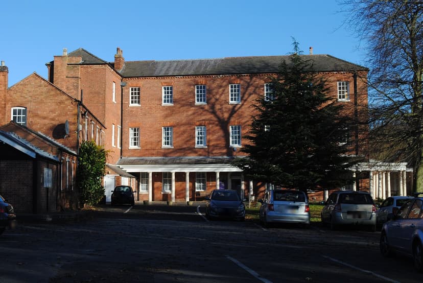
The deeds tell the next part. When the Waterworks Company gave notice of its King’s Vale well in 1865, it named the Roman Field as belonging to “the Trustees of Oscott College”, with Francis Wells as the farmer.
Letters now in the Birmingham Archdiocesan Archives fill in the rest. In 1870 letters were asking about the Rev. John Quick, in whose time “the field taken by the Water Company” had been bought. In 1873 they were discussing “part of the Roman Field at Maryvale allotted to Bishop Milner” under the enclosure award, “the award is to be found in Handsworth Parish church”, and a claim of the Old Oscott mission against the College. In 1875 the mission’s agent settled with the Waterworks Company about “land at Old Oscott”. On 25 May 1877 came “cheques for the sale of the Roman field at Maryvale.”
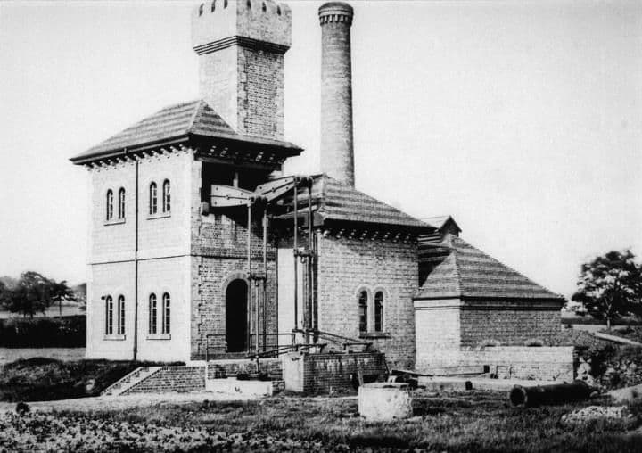
The letters never quite say that the field taken by the waterworks and the Roman Field were one and the same. But the 1865 notice put the well on the Roman Field, and the waterworks site lies only about 115 metres from Historic England’s point. It is very probably the same ground.
The hoard that wasn’t
You may have read that a hoard of Roman coins was found in 1884 while the pumping station’s foundations were being dug. Nothing supports it. The story entered Wikipedia in 2008, citing a book of 2005, and no earlier source for it has been found. The station was already on the Ordnance Survey’s survey of 1882–83, and no hoard of 1884 from here is recorded in the lists of coin hoards. One explanation is a memory, garbled over the years, of something true: the waterworks really was built in the Roman Field.
Beside the Roman road
Icknield Street ran north towards Sutton Park on or near the line of today’s Kingstanding Road, the old county boundary. No length of it has yet been dug up in Kingstanding, so its exact course here is still a line on a map. Other Roman coins have turned up nearby: one of Constantine near Old Oscott in 1946, and one of Marcus Aurelius in Aldridge Road in 1955.
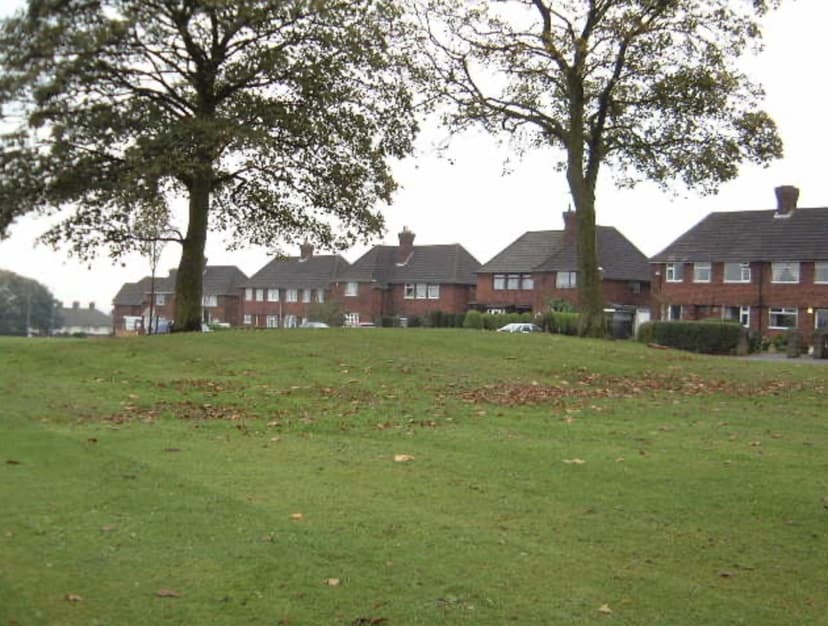
The coins from Roman Field are untraced and the field is under houses and grass. But its name is written on the first Ordnance Survey map, on the tithe map, in a bishop’s enclosure allotment and in a water company’s notice to Parliament. Since at least the 1830s, this has been the Roman field beside the Roman road.
Pictures
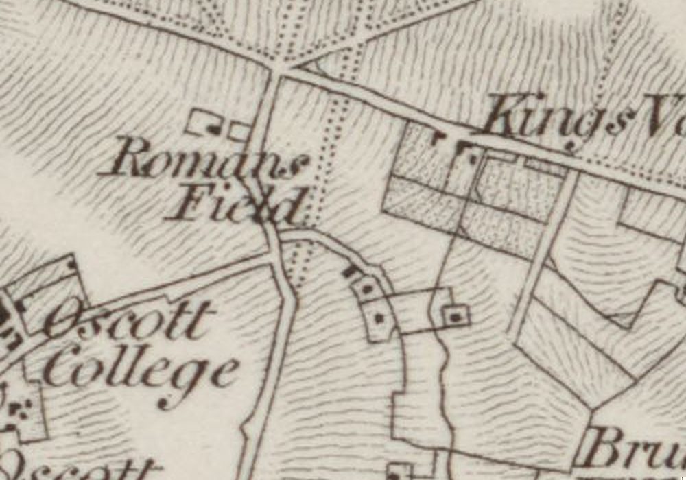
“Romans Field”, lettered just south-west of the crossroads where the Circle is now, on the first Ordnance Survey map.Ordnance Survey one-inch Old Series, revised 1831–32 (1863 printing), enlarged · Out of copyright
From the Heritage Archive
- “Local Archaeology” (lecture by Dr Wilmore) — Walsall Observer; continued in Walsall Free Press, 24 December 1886; 8 January 1887. Ref. BL/0000766/18861224/125; BL/0006397/18870108/022. Places Romans’ field where Icknield Street crosses the Old Chester Road (loose). Snippet only.
- Research record 329552: Roman coins found in Roman Field — Historic England (NRHE), via ADS/ARIADNE, record issued 2004. Ref. OS card SP 09 SE 8. Point SP 07898 94760.
- The development of some aspects of settlement and land use in Sutton Chase (PhD) — M. A. Hodder, University of Birmingham, 1988. Ref. p.118. Roman Field and Lower Roman Field on the 1841 tithe map; “at least eight coins … possibly a disturbed hoard … before 1884 (Chattock 1884, 236)”.
- Birmingham Waterworks Company: notice of Bill — Birmingham Daily Post and others, 15–29 November 1865. Ref. BL/0000033/18651115/027. Roman Field belonging to the Trustees of Oscott College, occupied by Francis Wells.
- Walking route (Romans’ Field) — Birmingham Daily Gazette, 25 June 1863
- Letters of Harting to Canon Estcourt and related papers — Birmingham Archdiocesan Archives, 1870–1877. Ref. B4792, B4856, B5225 (B05225), B5226 (B05226), B5555 (B05555), B5616, B5992 (B05992). Catalogue descriptions only.
- OS one-inch Old Series, sheet LXII SE — Ordnance Survey, surveyed 1814–17, revised 1831–32; this printing 1863. Ref. NLS 257403148. “Romans Field”.
- Heritage research report §7 (R1) and note 12 — kingstanding.org, 2026. The 1884 “hoard at the pumping station” is rejected.
- Other Roman finds: research records 329557 and 329572 — Historic England (NRHE). Constantine coin 1946; Marcus Aurelius coin, Aldridge Road, 1955.
Comments
Comments will load here.