
Most people know Kingstanding as a 1930s housing estate. But the mound that gave it its name may be thousands of years old, and the ground here has carried a Roman road, a royal legend and a Catholic seminary that shaped a saint — and, at the centre of it all, a community that made this place home.
Where the name comes from
The King’s Standing
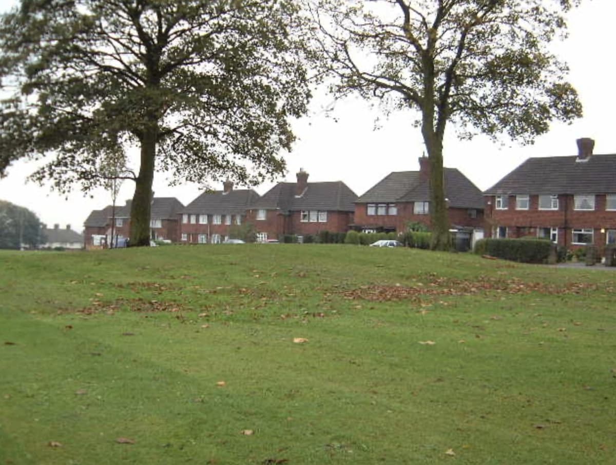
At the top of the hill, where the ground falls away towards Birmingham, is a low grassy mound beside the line of Icknield (Ryknield) Street — the Roman road that ran north through here to the fort at Wall. It is a scheduled ancient monument, and it gave this whole district its name.
What it actually is, nobody can say for certain — and that is part of its charm. It has been recorded as a round barrow, a burial mound from the late Neolithic or early Bronze Age, which would make it around four thousand years old. Others have thought it Roman — a roadside tomb beside the street. The Victorian historian W. H. Duignan was sure of the first: “doubtless a prehistoric tumulus, though it may have been used by Charles.”
One old account tells a stranger story. When the nearby wood was cleared, it says, labourers found “a considerable treasure of silver chains”. And it claims the original mound was destroyed “in ignorance” by a new tenant clearing his land — and that the mound we see today was thrown up by him afterwards, when his neighbours told him about King Charles.
How the mound has changed
- In Duignan’s day: about 20 feet across and 5 feet high, fenced with iron hurdles and planted with young trees.
- Later surveys: about 16 metres across and 1.2 metres high, wooded, inside a wooden palisade.
- Today: remodelled and re-turfed by the council and the fence taken away — about 20 metres across and only 0.8 metres high.
That last makeover means surveyors can no longer tell from the ground whether it is a true ancient burial mound or a later landmark. Either way, it is the King’s Standing.
The name itself may be medieval — a “standing” was a spot where a king waited for deer to be driven past to hunt. But the story Kingstanding has always told is a Civil War one: that in 1642, at the very start of the war, King Charles I stood on the mound to address the troops he had brought out of Shropshire. Whether or not he did, the name stuck — the king, standing on the mound — and it has named these streets ever since.
A new town on the fields
One of Britain’s largest inter-war estates
For centuries this was farmland — Warren Farm, Kingsvale and Kettlehouse, and the old Holly Lane that became Kingstanding Road. In 1928, the year Perry Barr was absorbed into the city, Birmingham used a compulsory order to buy some 450 acres of it for 6,700 council homes. It became one of Britain’s largest inter-war municipal housing developments: long gentle curves, houses in pairs and fours, each with a front and back garden, for families leaving the crowded inner city.
Listen · in their own words
“What is now Kingstanding was all farmland. So there were no problems — the animals were walked.”
Arnold Tranter — a butcher born in Witton, remembering the drovers who walked cattle from the Great Barr market through the fields, before the estate was built. Recorded 23 October 1984.
Read the transcript
The local sale yards used for this area was Lichfield and Tamworth. And at alternative Wednesdays there was a sale yard at Sutton Coldfield behind the Royal, and the sale yard at the Scott Arms at Great Barr. They were alternative Wednesday afternoons, which we patronised. And there again the large animals were walked through Great Barr. What is now Kingstanding was all farmland. So there were no problems — the animals were walked.
Listen · in their own words
“A lot of people from round Hockley moved towards Kingstanding. They were moved out there as these places become derelict.”
Albert Hunt — a family butcher from Lodge Road, Hockley, on how his customers moved out to the new estate. Recorded 12 October 1984.
Read the transcript
Interviewer: Going back to Hockley, what sort of customers — where did you draw your customers from?
Albert Hunt: Oh, very, very local. Very local. That was before — like, Kingstanding was about the first area that opened up, like, with redevelopment, shall I say, and a lot of people from round Hockley moved towards Kingstanding. They were moved out there as these places become derelict, like.
On 25 July 1930 the Minister of Health, Arthur Greenwood, came to Kingstanding to open Birmingham’s 30,000th council house, in a block on Greenwood Place, off Finchley Road. The next year the Architect and Building News called the estate “remarkable for its generous planning and gay colouring” — bright and cheerful, in the language of 1931.
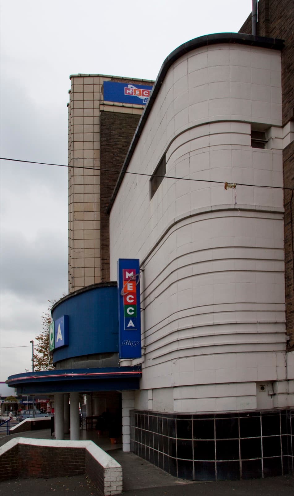
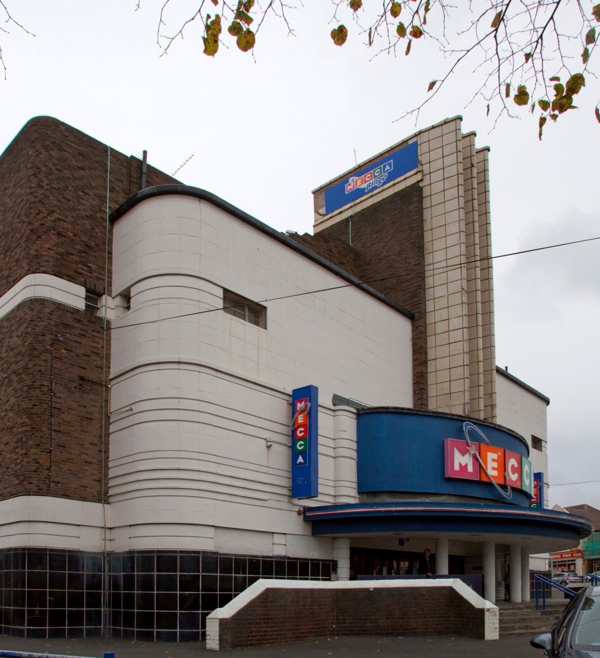
The Circle became the meeting point — shops, buses, the parade — and in July 1935 the Odeon opened as its designed focal point, its three-fin tower visible from streets away.
Life on the new estate
What 1939 made of it
In 1939 a team of Birmingham researchers studied Kingstanding house by house — published in 1942 as Nutrition and Size of Family: Report on a New Housing Estate. They found about 5,300 households, “wide tree-lined streets and several parks and playgrounds”, and an estate by then “well served with shops, public-houses, schools, and cinemas”, with a swimming bath. People who had grown up in the city centre, they wrote, “laid great store by their patch of grass”.
But a new home came with new costs. There was no work within walking distance, so most people paid at least two shillings a week in bus fares; food in the local shops cost more than in town; and there was no clinic or hospital nearby — so many tenants said they would rather keep paying the same rent in return for a clinic. Large families had it hardest, and the researchers concluded that poor living conditions “will not be overcome by rehousing alone.”
And a community grew up around it — churches, schools, the Circle’s shops, and in 1953 Coronation street parties on Peckham Road and Bendall Road.
The war
The night the bombs fell
On the night of 25–26 August 1940, early in the Blitz, German bombs fell on Kingstanding. Eleven people were killed here — Hilda Robinson in her home on Hurlingham Road, six workmen mending a gas main on Oundle Road, and four members of one household on Kingstanding Road, the youngest three years old.
From 1942 to 1945, American GIs from a US Army depot on the nearby Pheasey estate were a familiar sight in Kingstanding’s streets, pubs and church halls — and local memory records friendships and marriages with Kingstanding women.
Read: Kingstanding in the Blitz →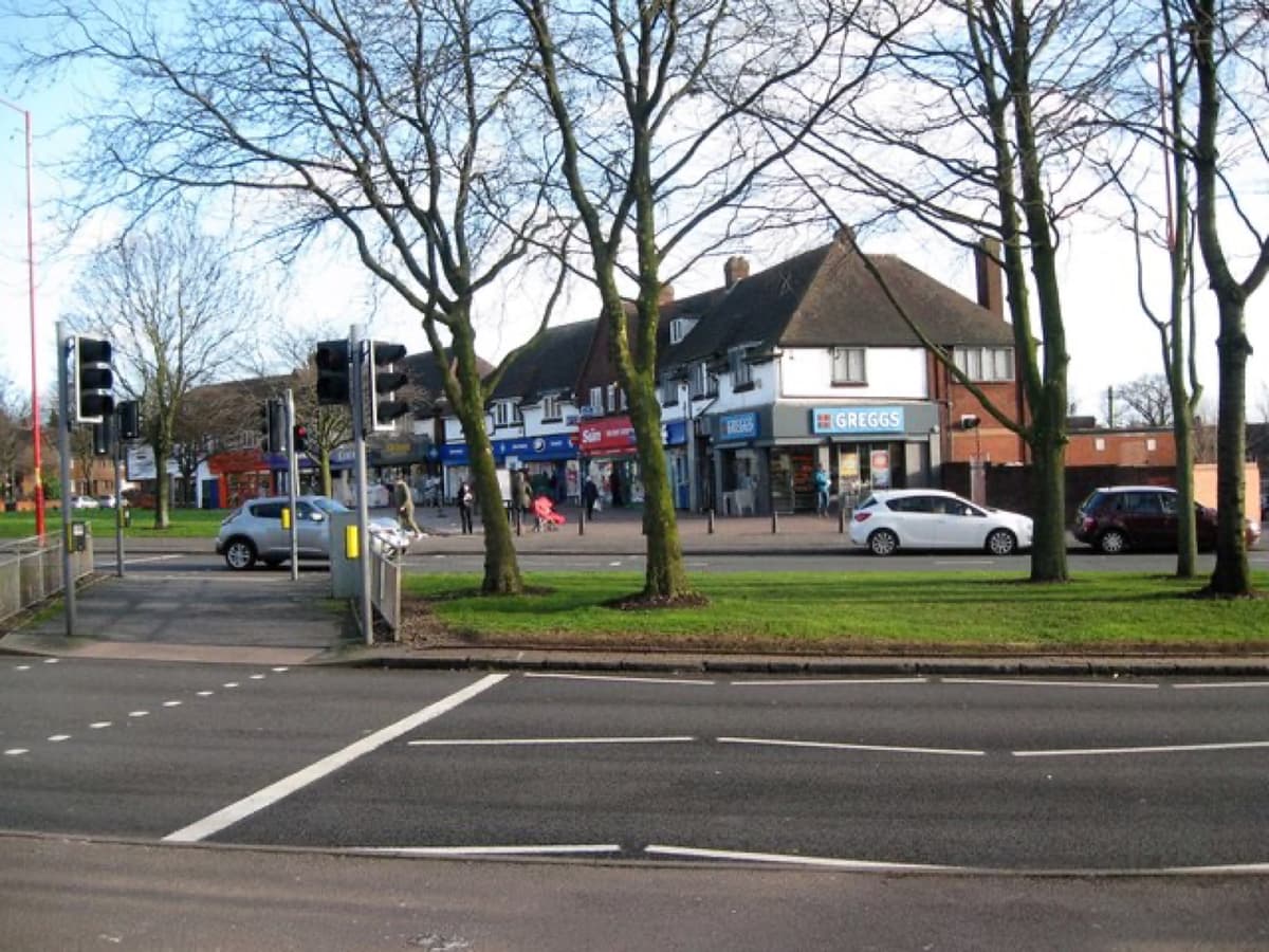
Old Oscott
Maryvale — where a saint once lived
On Old Oscott Hill stands one of Kingstanding’s quietest treasures: Maryvale, a Grade II* listed house and chapel that has been a home of Catholic life and learning since the seventeenth century. From 1794 it was Oscott College, a seminary training priests, until the college moved to New Oscott in 1838.
In 1846 John Henry Newman — the famous Oxford clergyman whose conversion to Catholicism had caused a sensation the year before — moved in with his companions and renamed the house Maryvale. It was his first home as a Catholic. Newman became a cardinal, and in 2019 he was declared a saint — St John Henry Newman — and in 2025 a Doctor of the Church.
From 1851 the Sisters of Mercy ran an orphanage here until 1980. Today it lives on as the Maryvale Institute. A place of national significance, hidden in plain sight on a Kingstanding hill.
Why is your road called that? Farm lanes, London districts, Peak District villages and the birds of Perry Common — explore the stories behind all 371 street names on our map.
The street-names map →From the mound to Litter Busters
Kingstanding through time
Prehistory
A low mound is raised on the hilltop — recorded as a Bronze Age burial mound, the King’s Standing.
Roman Britain
Icknield Street, the Roman road to the fort at Wall, runs past the mound.
1086
Domesday Book records Perry — “Pirio”, the pear tree — with land for three ploughs and a mill.
1576
Sir William Stanford builds Perry Hall, later the home of the Gough family.
1642
By tradition, King Charles I stands on the mound to address his troops.
1648
1794
Oscott College opens on Old Oscott Hill, training Catholic priests.
1812
1846
1914
Kingsvale School opens on Holly Lane — the village school, before the estate.
1928
Birmingham buys 450 acres of farmland for 6,700 council homes.
1930
Birmingham’s 30,000th council house is opened in Greenwood Place.
1931
1935
1939
1940
On the night of 25–26 August, eleven people are killed in Kingstanding in an air raid.
1953
1964
Kingstanding Library opens on 6 June.
1990s
Perry Common’s concrete council houses are failing; 908 are earmarked for demolition, and the estate is rebuilt with Witton Lodge Community Association.
2019
Newman is declared a saint — Maryvale’s first Catholic resident.
2023
Birmingham Settlement brings its work home to Kingstanding Road.
2026
Kingstanding Litter Busters starts — and Kingstanding Together gets to work.
There’s more to explore
Kingstanding Wood, the churches, Maryvale, the buildings we’ve lost — and the landmark at the heart of it all.
Comments
Comments will load here.