
On 25 June 1863 the Birmingham Daily Gazette gave its readers a route for a summer walk. Ride to Perry Barr, it suggested, then walk by “the Gough’s Arms, Oscott College, Romans’ Field, King’s Standing, and enter the Park”, along “the great Roman road, Icknield Street. This is a favourite way, and richly does it deserve to be so.”
The walkers of 1863 were crossing farmland and old heath. Their path is now Kingstanding Road, and the Roman road behind the name is one of the oldest things in Kingstanding.
Wall to Metchley
Icknield Street, also written Ryknild or Ryknield Street, was a Roman military road of the first century AD. This stretch ran between Wall, the Roman Etocetum, and Metchley. On its way it crossed the open heath of Perry Barr.
Following the line
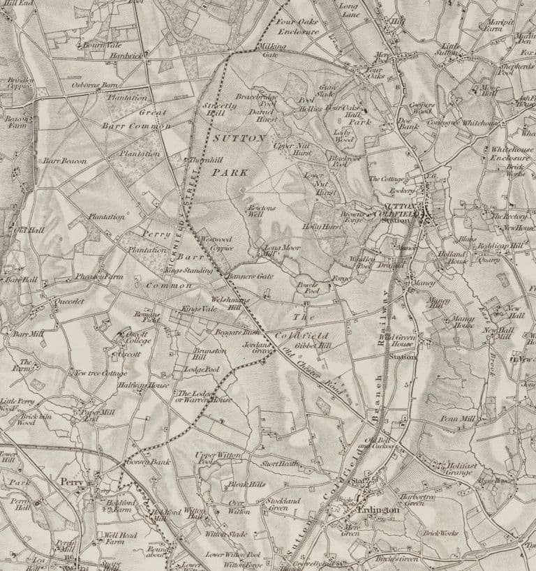
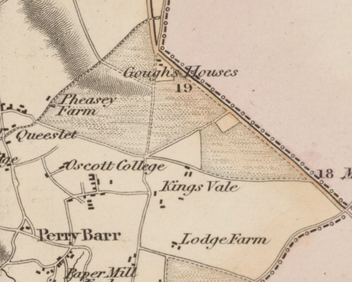
The maps show where it went. In 1775 William Yates lettered a road “Street” running north to south across the heath, on the line of today’s Kingstanding Road and the old Holly Lane. The Ordnance Survey’s one-inch map, revised in 1831–32, prints “ICKNIELD STREET” along the road near the Royal Oak, heading north towards Sutton Park. In 1900 the antiquary B. C. A. Windle wrote that the Street “was identical with Holly Lane”.
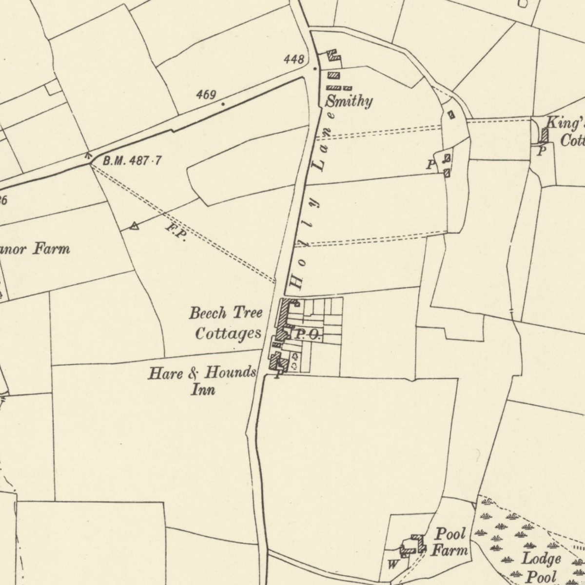
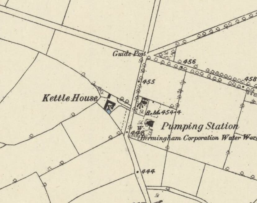
The Victoria County History of Staffordshire was more cautious in 1908. South of Kettle House, the farm that stood just south-west of today’s Circle, it said the Roman road “does not exist as a modern road”. The line was there, in other words, but not the road itself.
The line mattered for another reason. It also served as a boundary, with the Perry Barr parish line drawn along it, and the county boundary with it.
The King’s Standing beside the road
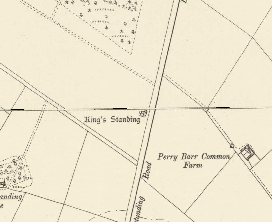
The mound that gave Kingstanding its name stands right beside the line, and writers have disagreed about exactly where for more than two hundred years. Stebbing Shaw, in 1798, put the road “a few yards East of King’s Standing”. The official list entry for the scheduled barrow turns that round, placing the mound “to the east of Ryknield Street Roman road” and “adjacent to the route”. W. H. Duignan, in 1902, was content with “within two hundred yards”. Which side the Romans passed on is still open. That they passed close by, nobody doubts.
A little to the south, on the west side of the road, lay Romans Field, named on the map of 1831–32. Historic England’s record for it is brief and to the point: “Roman coins found in Roman Field.”
Looking for the road itself
For all that, nobody has yet found the road in the ground here. No length has been excavated in or near Kingstanding, and none is scheduled. A resistivity survey at Perry Barr, made ahead of a pipeline to find the road from Wall to Metchley, recorded “no definitive evidence”. A dig at Prince Albert School in Perry Barr set out to investigate the Roman road and found a Bronze Age pit alignment instead.
To see the real thing, go north. In Sutton Park a length of about 2.6 kilometres is protected within the park’s scheduled monument, and in 1863 a small bronze coin of Constantine was found beside it. A newspaper writer in 1909, following the Street south, noticed how thoroughly it had vanished from the fields. But for the names of fields and places beside the road, he wrote, it would in places be difficult to identify, adding: “Romans Field is close by Icknield Street”.
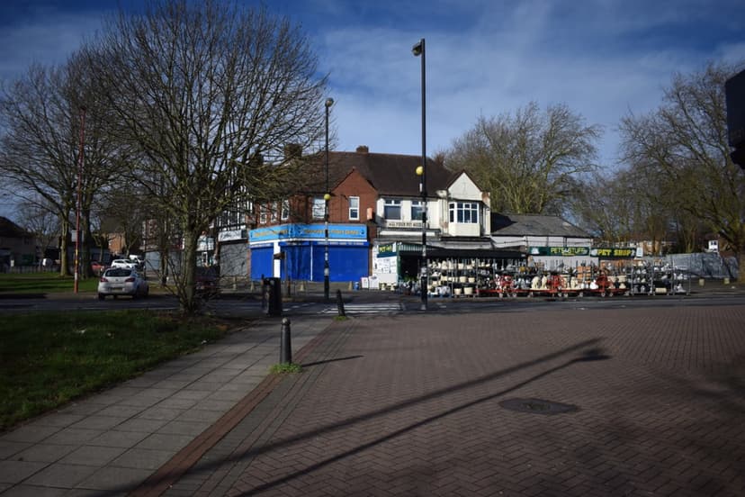
Romans Field is under houses now, and the heath was enclosed two centuries ago. Yet the line held. Every bus that climbs Kingstanding Road towards the Circle is following, as near as anyone can tell, a road the Romans laid out nearly two thousand years ago.
Pictures
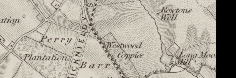
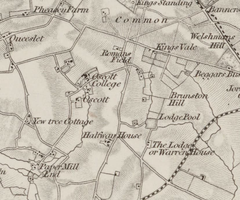
“ICKNIELD S[TREET]” lettered along the road north towards Sutton Park on the one-inch map of 1831–32.Ordnance Survey one-inch map, revised 1831–32 (1863 printing) · Out of copyright 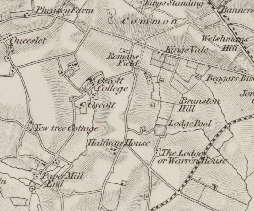
The line through Kingstanding in 1831–32, with Romans Field on its west side and Kings Standing to the north.Ordnance Survey one-inch map, revised 1831–32 (1863 printing) · Out of copyright
From the Heritage Archive
 King's Standing on the first Ordnance Survey map, 1834Surveyed 1814–17, revised 1831–32, published 1834 (this copy printed 1863)
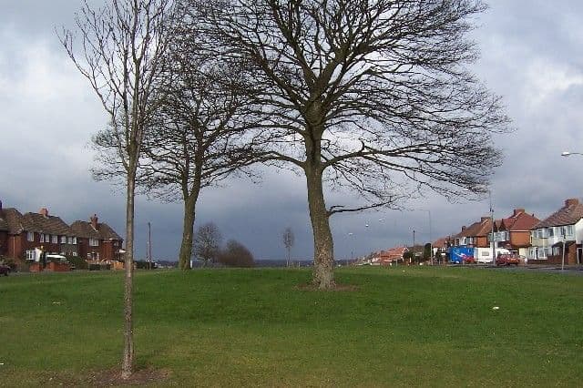 The King's Standing mound, 200522 February 2005
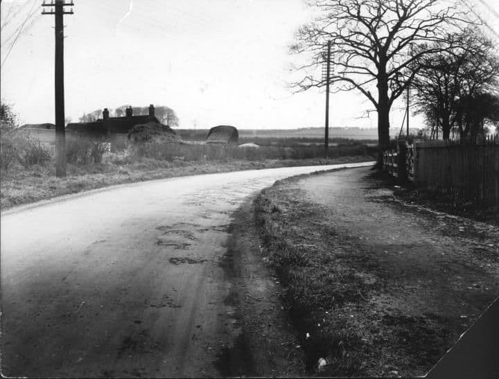 Kingstanding RoadApril 1928
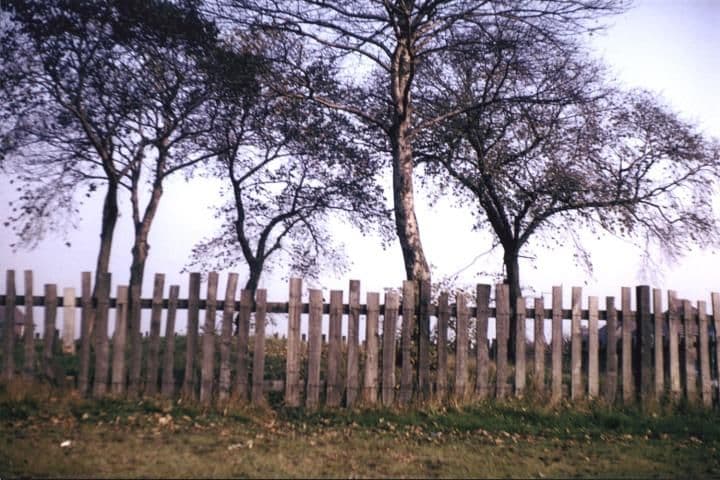 The Tumulus1966
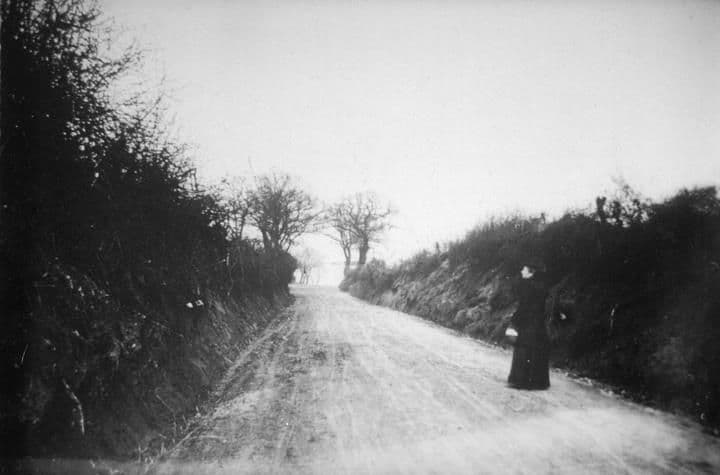 Kingstanding Road1900
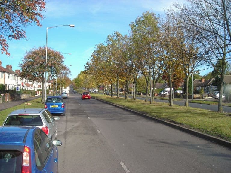 Kingstanding Road from the College Road end, 201126 October 2011
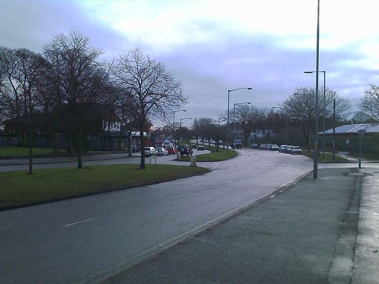 Kingstanding Road, 2010c. 2010
- Birmingham Daily Gazette (walking routes to Sutton Park) — 25 Jun 1863. Ref. BL/0000667/18630625/086. BNA snippet, notes/12b
- Prehistoric and Roman Perry Barr — Birmingham City Council, n.d.
- Map of the County of Stafford — William Yates, 1775 (surveyed 1769–75). Ref. Staffordshire Past Track tile service. Read for research only; the scan is not reproduced here
- Ordnance Survey one-inch Old Series, sheet LXII SE (Lichfield) — Ordnance Survey, surveyed 1814–17, revised 1831–32; this printing 1863. Ref. NLS 257403148. Read for the gazetteer (notes/10) and Log 12 (notes/11)
- Ordnance Survey six-inch, 2nd edition, Staffordshire LXIX.NW — Ordnance Survey, revised 1901, published 1904. Ref. NLS “6inchsecond” layer
- On Some Early Roads of Warwickshire and Worcestershire (Trans. Birmingham Archaeological Society vol. 25) — B. C. A. Windle, 1900. Ref. p. 45
- Victoria County History of Staffordshire, vol. 1 — W. Page (ed.), 1908. Ref. pp. 187–8. “does not exist as a modern road to the south of Kettle House in Perry”
- The History and Antiquities of Staffordshire, vol. 1 — Stebbing Shaw, 1798
- Notes on Staffordshire Place Names — W. H. Duignan, 1902. Ref. pp. 85–6
- Bowl barrow at King’s Standing (list entry) — Historic England, scheduled 9 Oct 1981; amended 4 Feb 1999. Ref. NHLE 1016437. Read via mirror; re-check against the live entry
- Medieval deerpark and other archaeological remains in Sutton Park (list entry) — Historic England, 1971; amended 2002. Ref. NHLE 1020420. Scheduled length of Ryknild Street, c.2.6 km
- Roman coins found in Roman Field — Historic England Research Records. Ref. HE RR 329552
- Walsall Observer (“Romans’ field, where coins of Domitian …”) — 24 Dec 1886. Places the field loosely; see notes/12 addendum C
- Resistivity surveys to identify the Roman road from Wall to Metchley — Historic England Research Records. Ref. NRHE event 1194735
- Prince Albert School, Perry Barr — OASIS / BIAB. Ref. OBIB 2778. “intended to investigate a roman road, but instead identified a bronze age pit alignment”
- Small bronze coin of Constantine found adjacent to Icknield Street, Sutton Park, in 1863 — Historic England Research Records. Ref. HE RR 329374
- Belfast Telegraph (reprinted Birmingham article on Icknield Street) — 18 Jun 1909. BNA snippet
- Birmingham Daily Gazette (Wall, Etocetum) — 18 Jul 1864. BNA snippet
- Historic name gazetteer from old maps, 1775–1921 — kingstanding.org research notes, 29 Sep 2026. Ref. docs/heritage/notes/10-gazetteer.md. Positions and labels from each map edition
- Oscott, Queslett, water and Roman Field (research notes) — kingstanding.org research notes, 29 Sep 2026. Ref. docs/heritage/notes/12-oscott-queslett-water-roman.md
- Heritage research report (Icknield Street, #2; contradiction C19) — kingstanding.org research notes, 29 Sep 2026. Ref. docs/heritage/HERITAGE_RESEARCH_REPORT.md
Comments
Comments will load here.