
 Grade II* listed
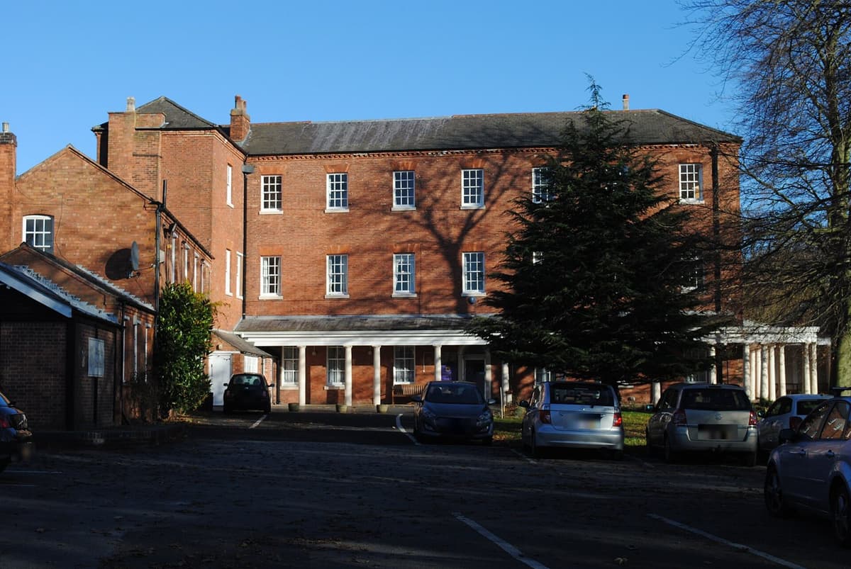
Maryvale, Old Oscott
The Grade II* listed house on Old Oscott Hill that was St John Henry Newman’s first home as a Catholic — he named it Maryvale in 1846. A home of Catholic worship and learning for more than three hundred years.
Andy Mabbett, 2016 · CC BY-SA 4.0
Read more →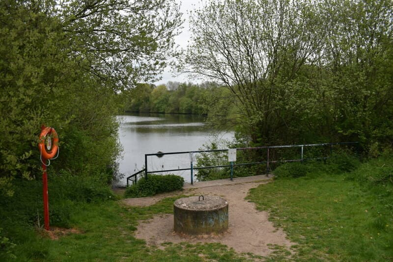 Nature reserve
Queslett Nature Reserve
Woodland, wildflowers and a lake in an old sand quarry off Queslett Road — on the land of Booth’s Farm, where a notorious forger was arrested in 1812. Home of Frylan Rock.
Martin Richard Phelan, 2022 · CC BY-SA 2.0
Read more →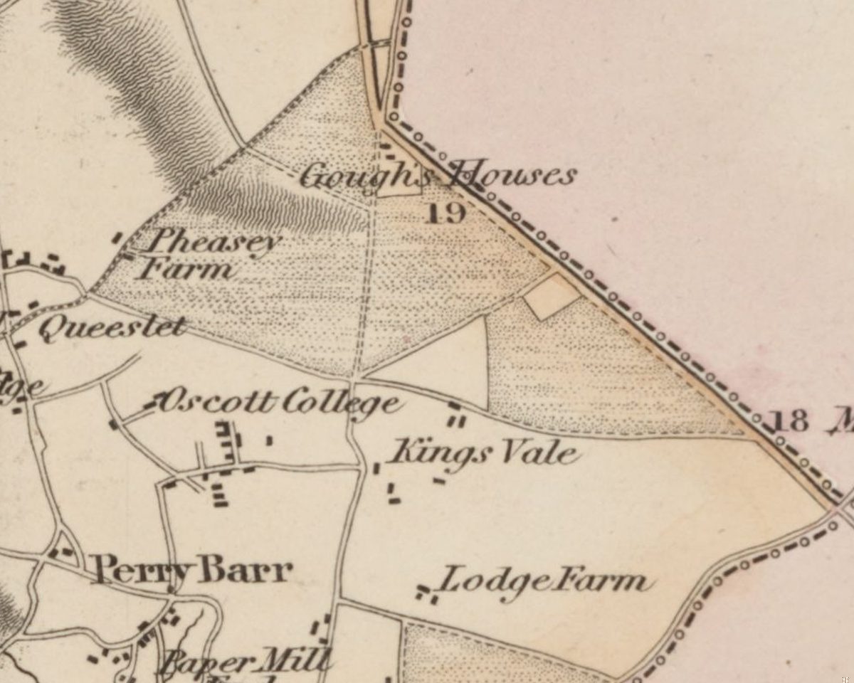 Lost common
Perry Barr Common and the Warrens
Before the houses, before the farms, Kingstanding was open heath and rabbit warren. An Act of 1811 and an award of 1814 turned it into the straight fields the estate was built on.
C. Greenwood, Map of the County of Stafford, surveyed 1819–20, published 1820 · Out of copyright
Read more →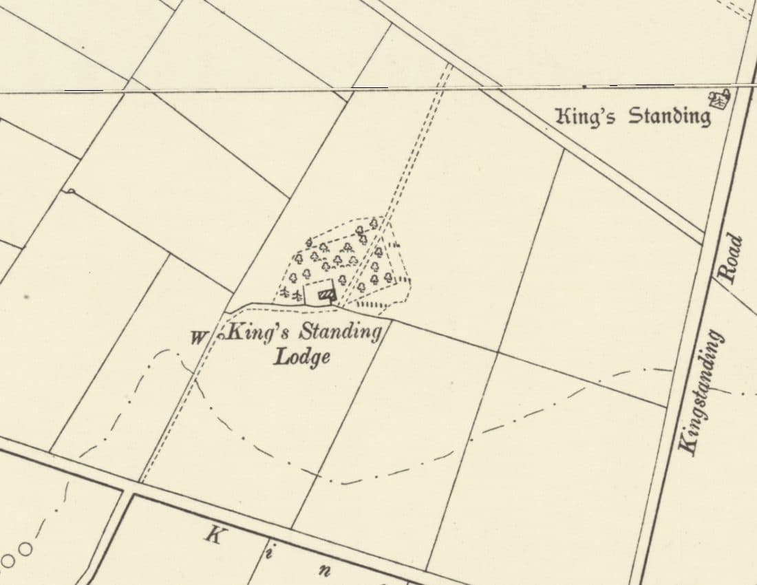 Lost house
King’s Standing Lodge and the Warren Houses
A lonely warrener’s house on the heath, on the map by 1775 and let with 300 acres of rabbit warren in 1820. It stood by today’s Bandywood Crescent until about 1930.
Ordnance Survey six-inch map, revised 1901, published 1904 · Out of copyright
Read more →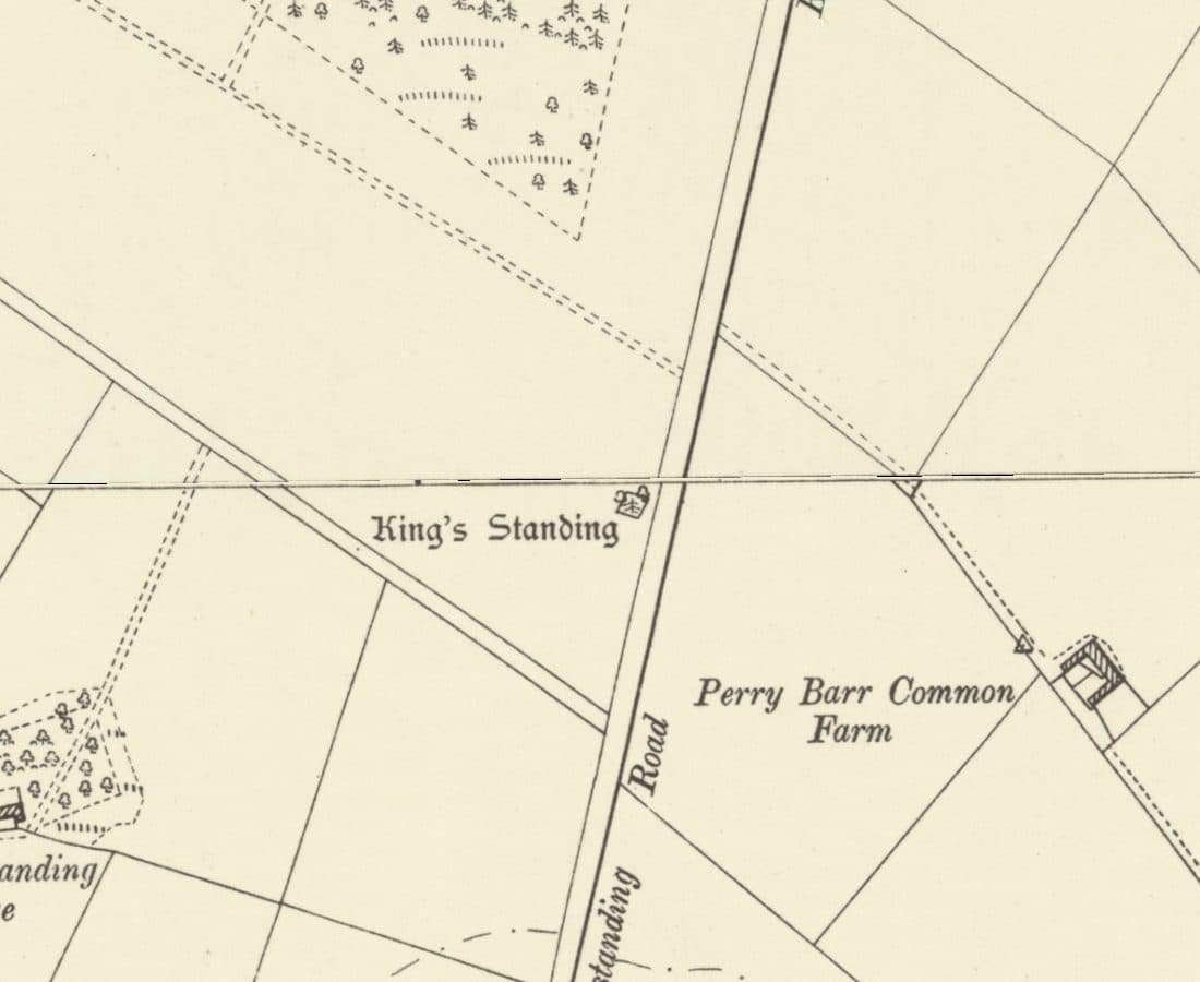 Roman road
Icknield Street
The Roman road from Wall to Metchley ran along the line of Kingstanding Road, past the King’s Standing mound and Romans Field.
Ordnance Survey six-inch map, revised 1901 · Out of copyright
Read more →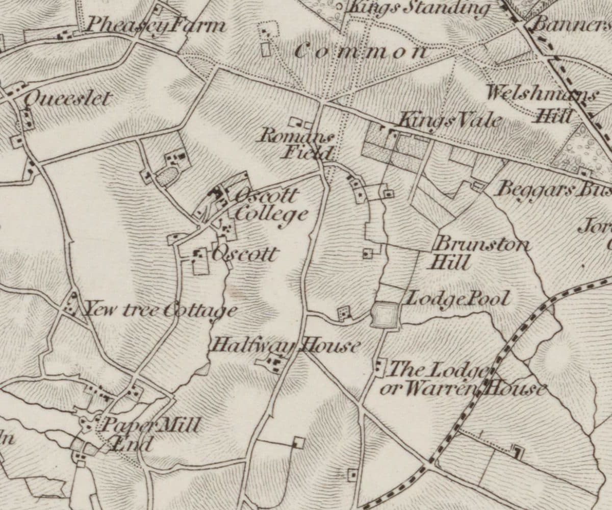 Roman findspot
Roman Field
A field beside the line of Icknield Street where Roman coins, including coins of Domitian, were turned up. Owned by the Catholic trustees at Oscott, it very probably became the waterworks site.
Ordnance Survey one-inch Old Series, revised 1831–32 (1863 printing) · Out of copyright
Read more →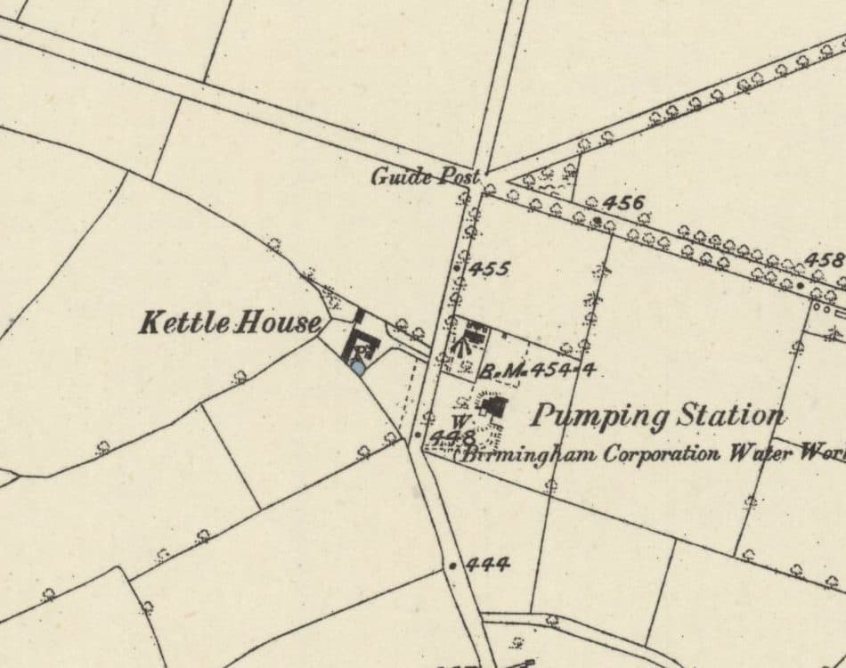 Lost farm
Kettle House Farm
The farm just south of today’s Circle that gave its name to the Kettlehouse estate: in the deeds by 1814, a Calthorpe farm from 1846, and farmed by the Judds until 1936.
Ordnance Survey six-inch map, surveyed 1882–83, published 1884 · Out of copyright
Read more →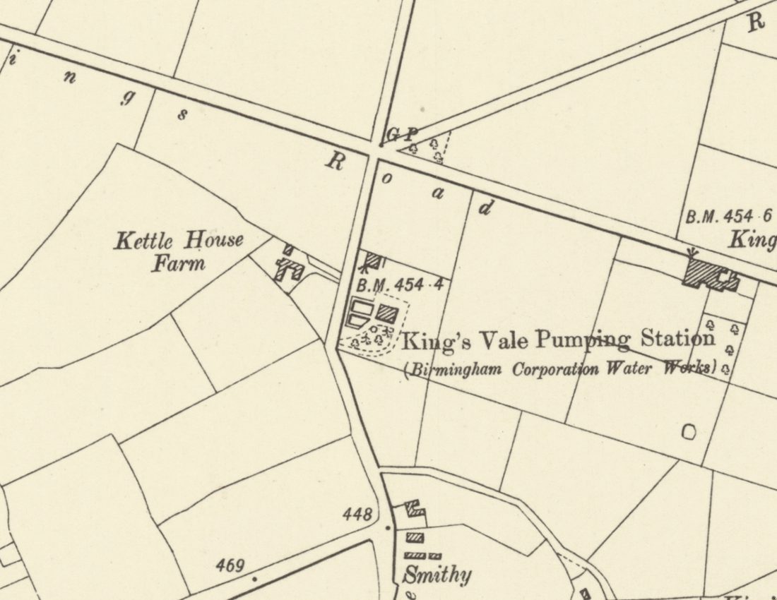 Lost waterworks
King’s Vale Well and Pumping Station
Birmingham’s waterworks sank a deep well here in the 1860s, expecting six million gallons a day. It gave 300,000, turned bad, and was disused by 1913. The site is now Wheeldon Recreation Ground.
Ordnance Survey six-inch map, revised 1901, published 1904 · Out of copyright
Read more →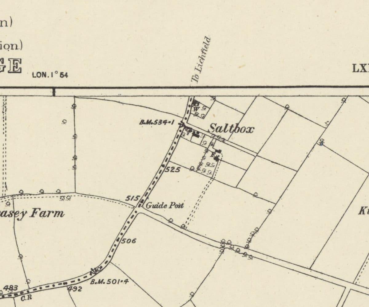 Lost hamlet
Saltbox
A handful of roadside cottages on the old road from Queslett towards Lichfield, carved out of Perry Barr Common after 1814 and still lived in when the estate arrived.
Ordnance Survey six-inch map, surveyed 1882–83, published 1884 · Out of copyright
Read more →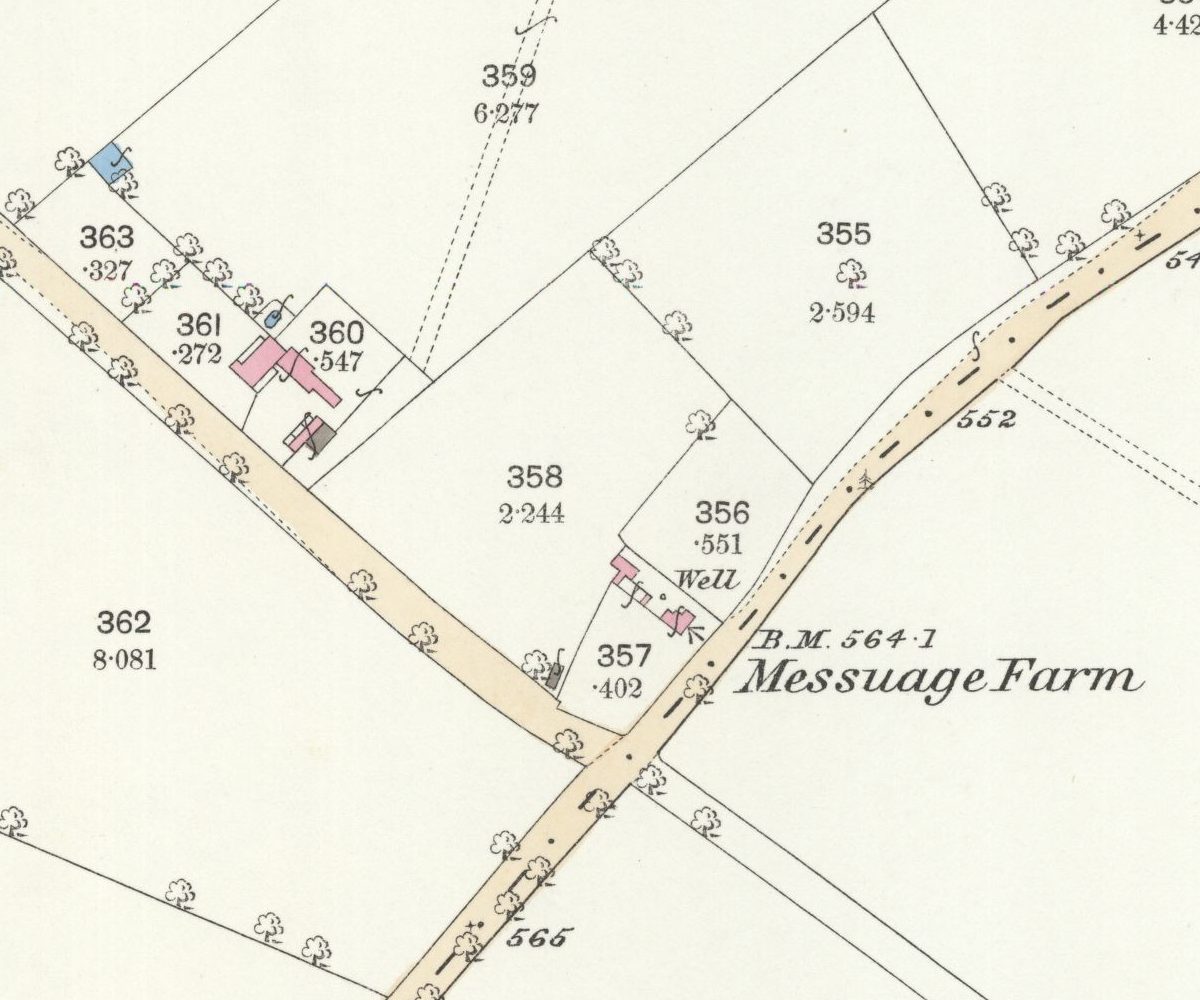 Lost farm
Messuage Farm
A 62-acre farm carved from Great Barr Common whose name headed the 1930 plan for the Kettlehouse estate, then quietly dropped off the map.
Ordnance Survey 25-inch map, surveyed 1882–83 (published 1884) · Out of copyright
Read more →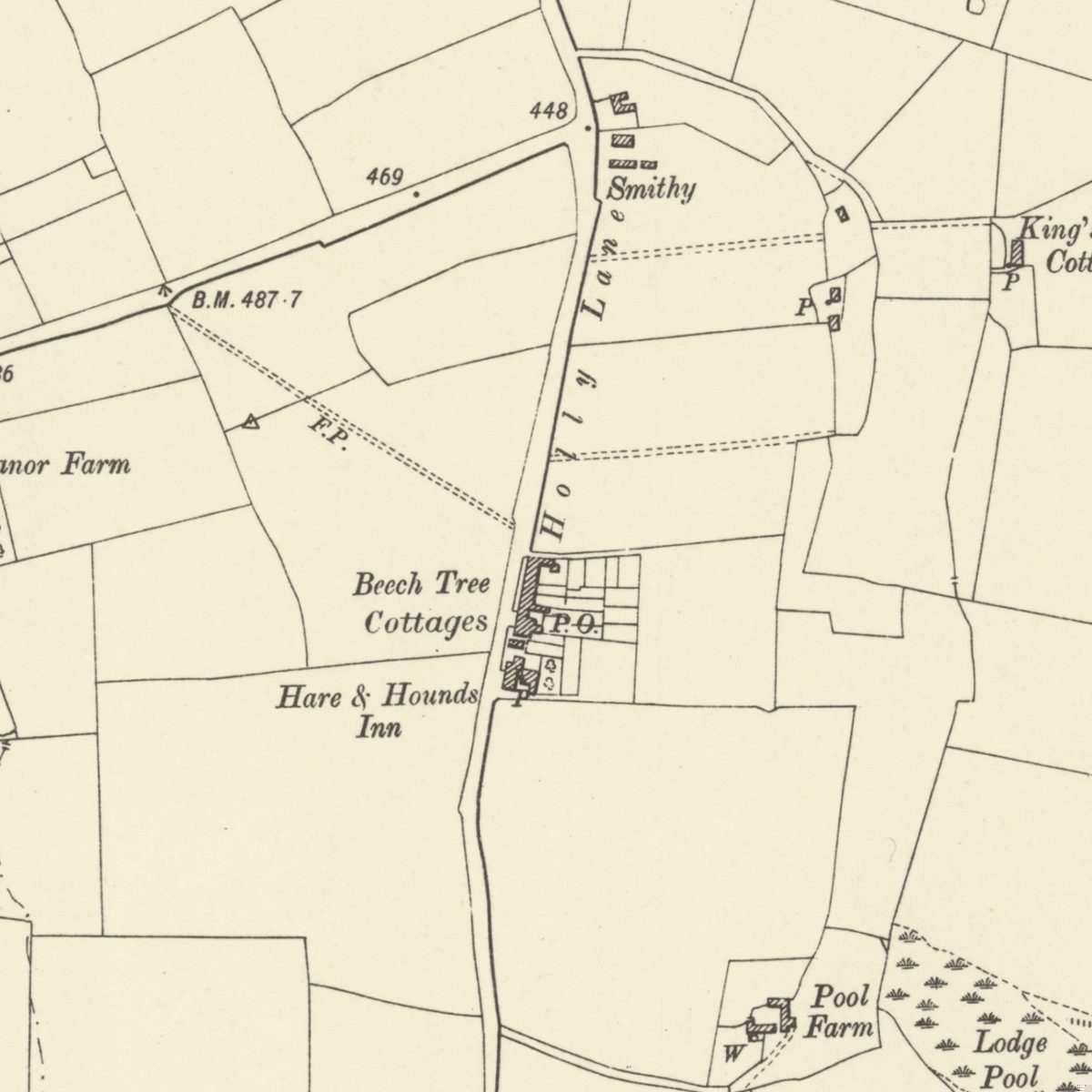 Lost lane and hamlet
Holly Lane
The old lane under southern Kingstanding Road, with its smithy, Beech Tree Cottages, post office and the inn that was both Greyhound and Hare & Hounds.
Ordnance Survey six-inch map, revised 1901 · Out of copyright
Read more →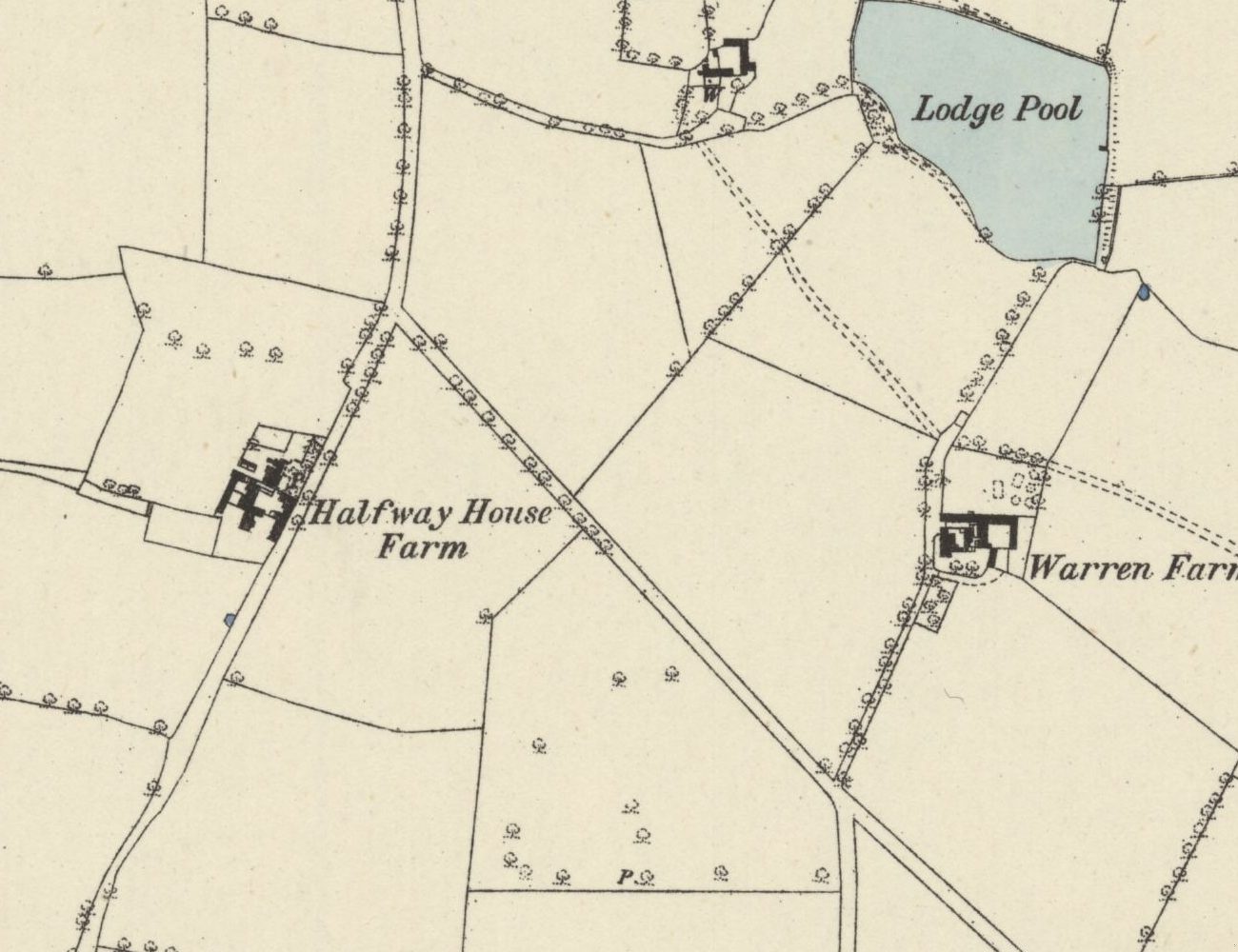 Lost farm
Halfway Farm
“Halfway House” on the 1831–32 map, home of Perry Barr’s tax collector, sold in 1921, and since 1938 the site of the drill hall on Kingstanding Road.
Ordnance Survey six-inch map, surveyed 1882–83 (published 1884) · Out of copyright
Read more →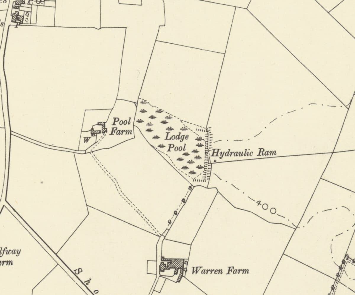 Lost farm
Warren Farm and Lodge Pool
A lodge on the rabbit heath that became Warren Farm, with Lodge Pool, a hydraulic ram and Pool Farm beside it, all now under the Warren Farm estate.
Ordnance Survey six-inch map, revised 1901 · Out of copyright
Read more →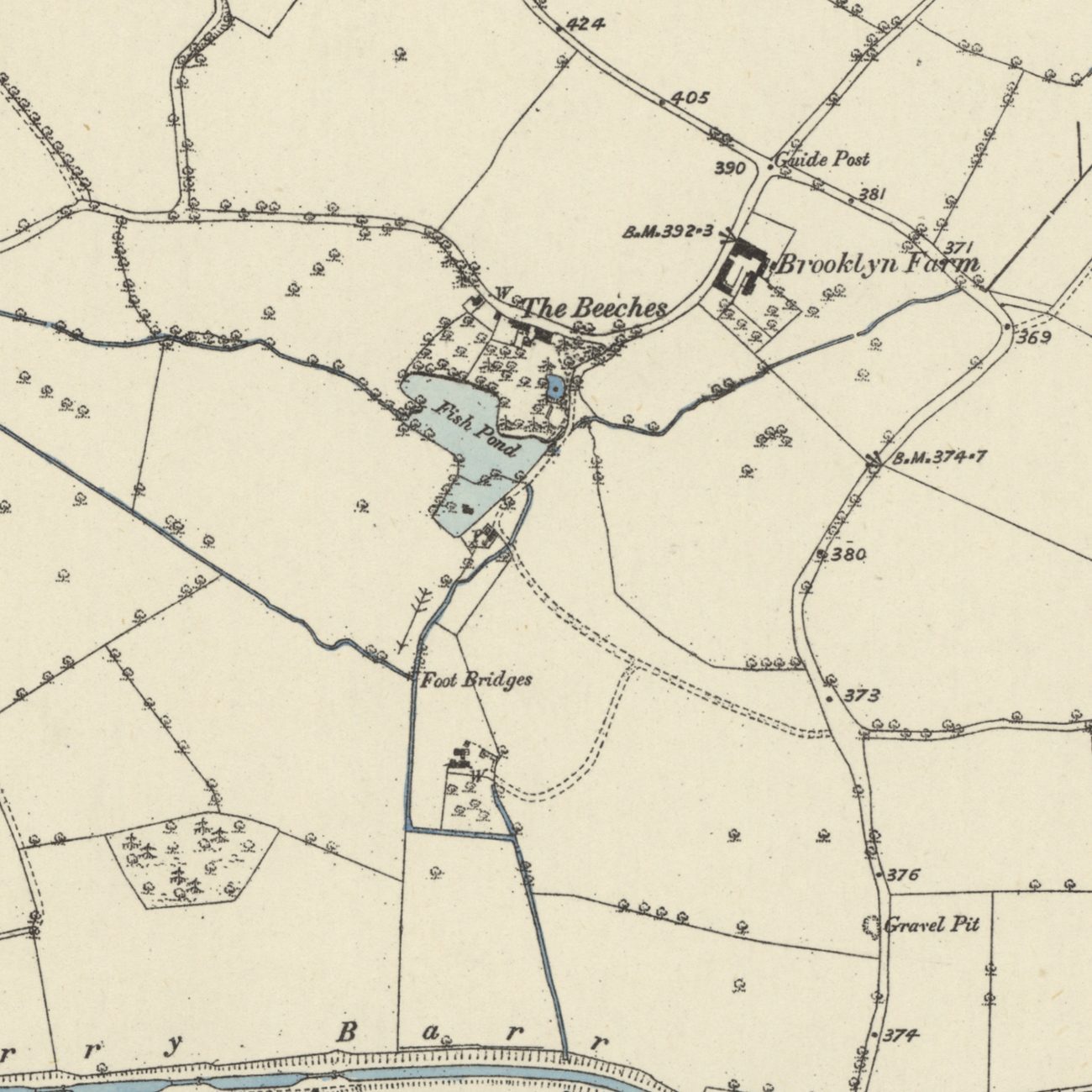 Lost mills
Paper Mill End and the Perry Barr mills
Blade mills, paper mills and a wire mill worked the Hol Brook below Old Oscott from 1597 until the 1840s. Paper Mill End still carries the name.
Ordnance Survey six-inch map, first edition, 1880s · Out of copyright
Read more →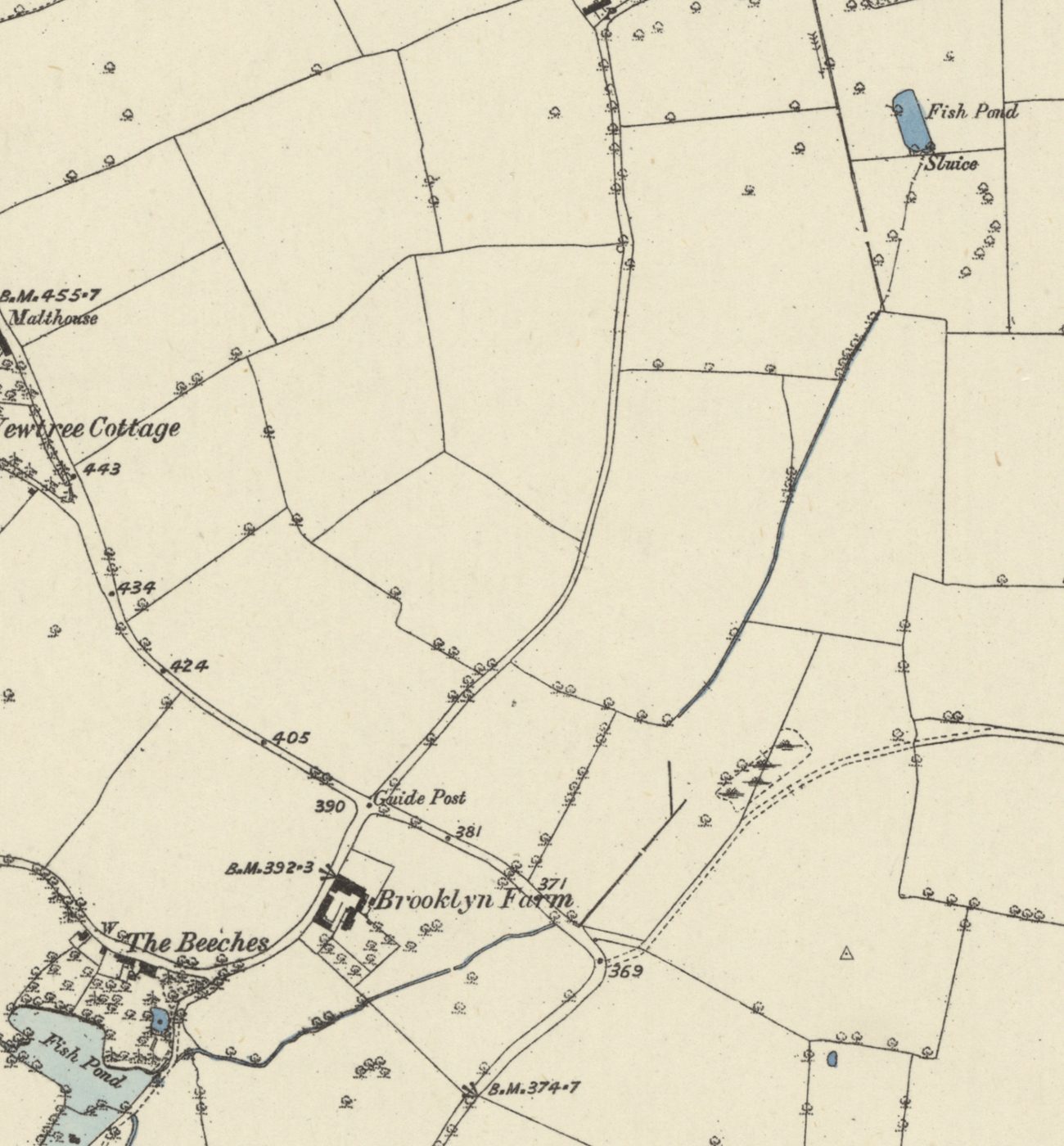 Lost brook
Oscott Brook
A small stream once ran from a fish pond at Old Oscott, along the line of Birdbrook Road, to the mill pool at The Beeches and on to the Tame. It went underground with the estate.
Ordnance Survey six-inch map, first edition, 1880s · Out of copyright
Read more →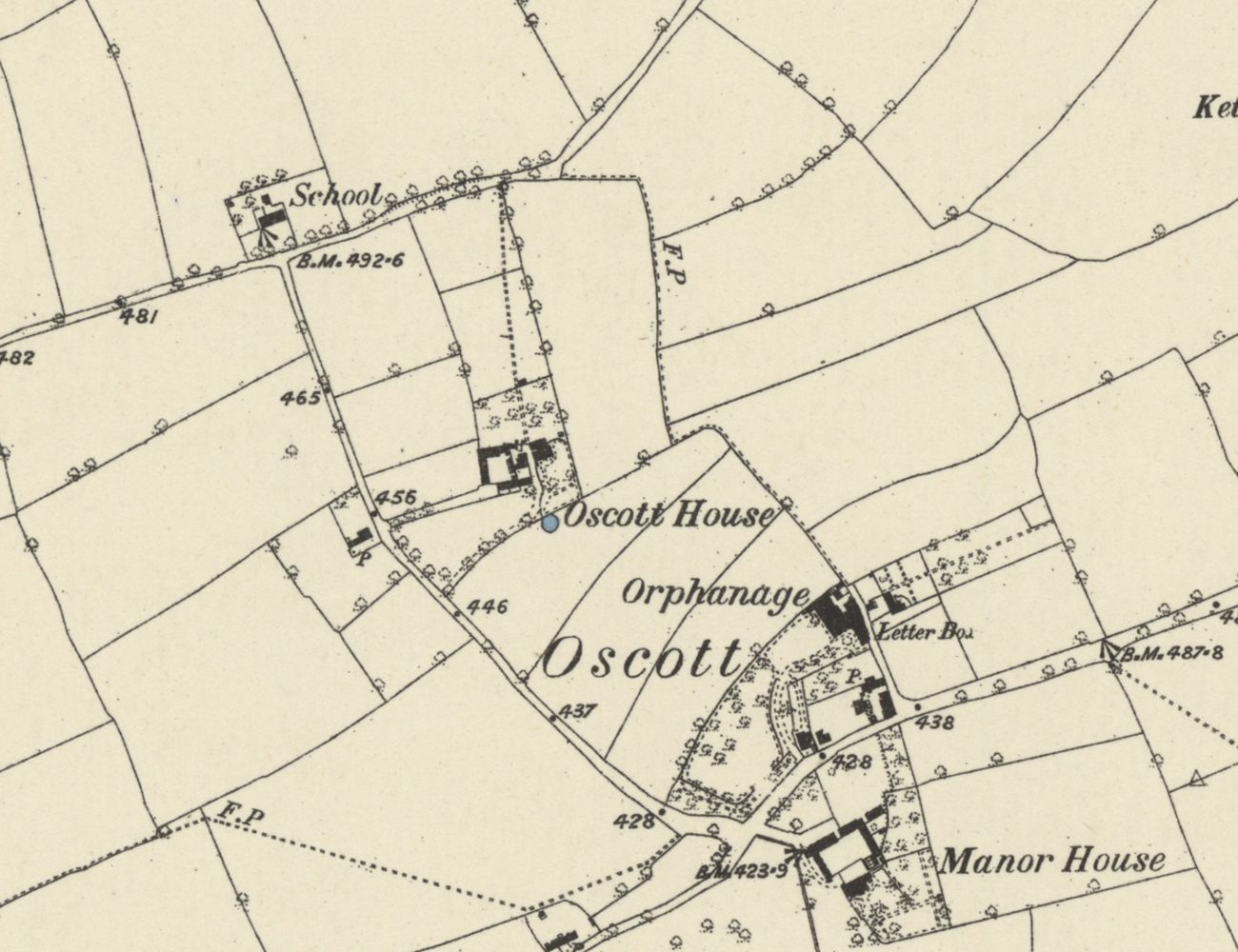 Lost hamlet
Medieval Oscott
Deeds from 1336 record a chapel at Oscott beside the Lichfield–Perry road, and “the town of Oscote” in 1392. Its Chapel Fields kept the name into the 1840s.
Ordnance Survey six-inch map, first edition, 1880s · Out of copyright
Read more →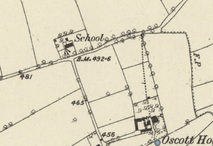 Lost school
The old school on Shady Lane
The school house beside All Saints on Shady Lane was recorded by 1840, ran as the Calthorpes’ Oscott Church School until 1900, and was photographed in 1938 before demolition.
Ordnance Survey six-inch map, first edition, 1880s · Out of copyright
Read more →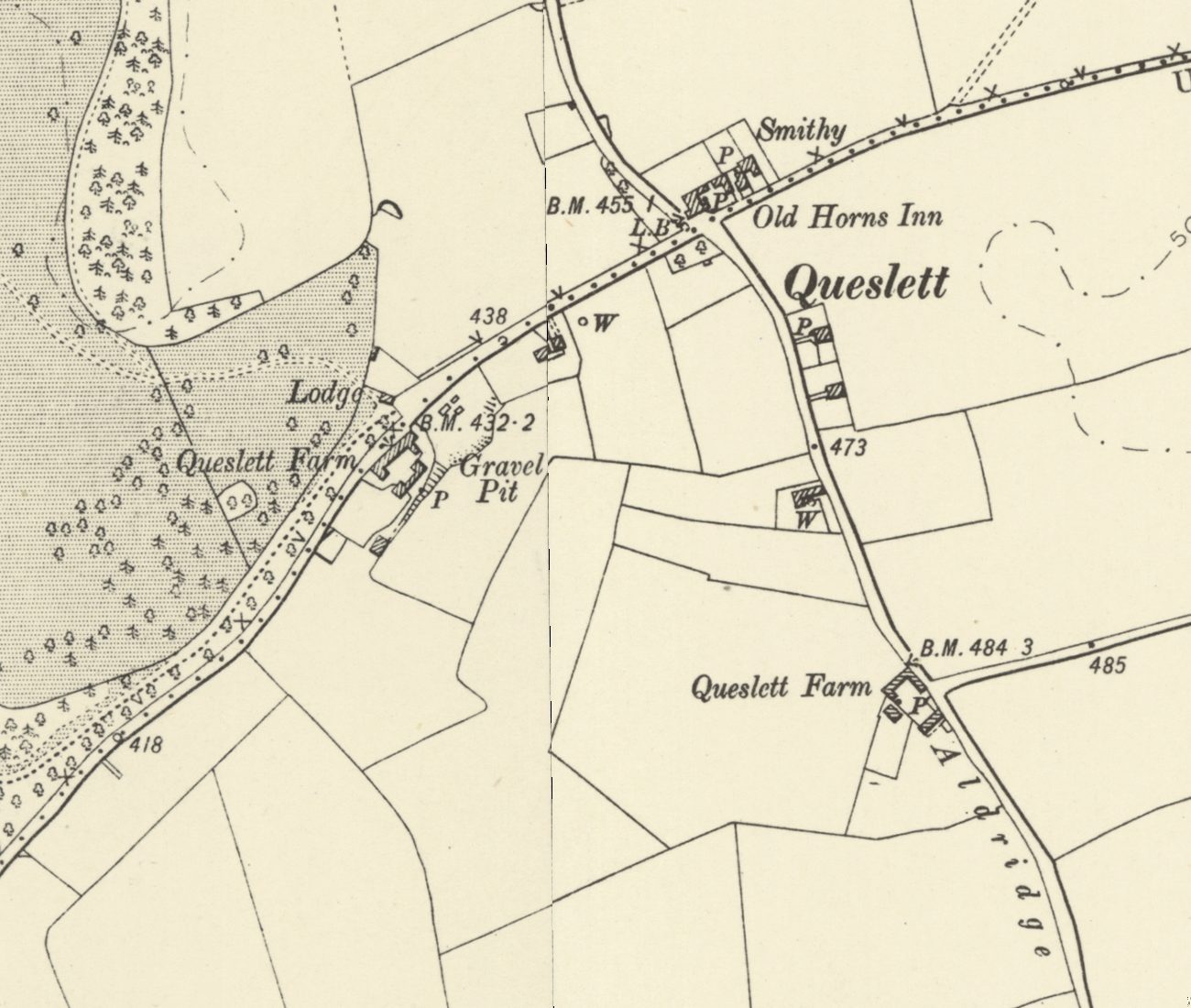 Lost lodge
Queslett Lodge and old Queslett
Queslett Lodge guarded the south-east drive to Great Barr Hall from about 1800, facing Queslett Farm and near the Old Horns. Its sister, Handsworth Lodge, still stands.
Ordnance Survey six-inch map, revised 1901 · Out of copyright
Read more →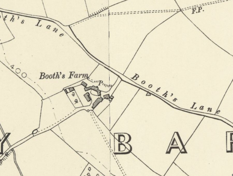 Lost farm
Booth’s Farm and William Booth
William Booth forged banknotes at Booth’s Farm until a raid in March 1812; his hanging took three attempts. The farmhouse stood until 1974 and its footings survive.
Ordnance Survey six-inch map, revised 1901 · Out of copyright
Read more →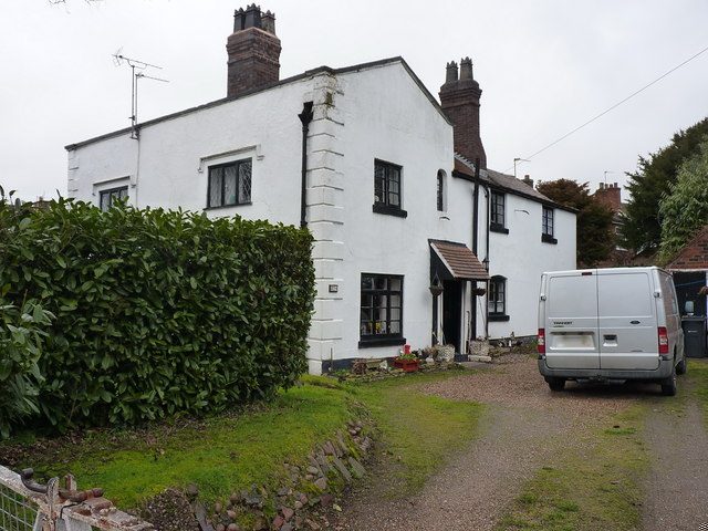 Grade II listed
Yew Tree Cottages, Booths Lane
A pair of stuccoed cottages on Booths Lane, probably late 17th century and split into two homes in the early 1800s — a rare survivor of old Queslett, listed Grade II.
Richard Law · CC BY-SA 2.0
Read more →
Looking after these places. These pages tell the story of Kingstanding’s places. To see what Kingstanding Together is doing for them, visit Kingstanding Green Spaces and Heritage & Conservation.
The Kingstanding we’ve lost
Not everything survived. The Woolworths on Hawthorn Road, shops and pubs that anchored the parades, corners of the old estate remade over ninety years — much of it lives now only in memory and family photographs. Gathering it before it’s gone for good is exactly what this group is for, so the Odeon isn’t the only piece of Kingstanding we manage to save.
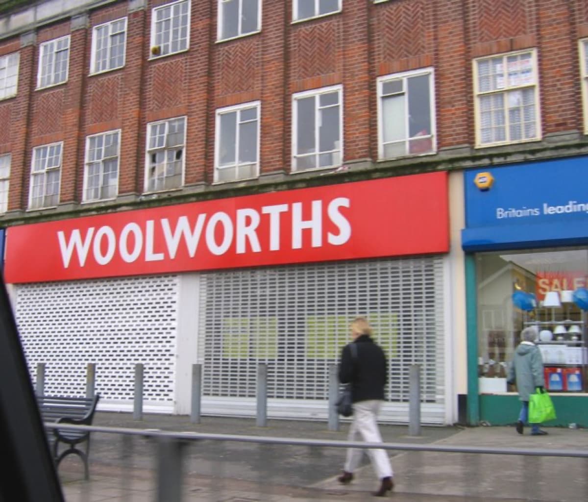 Roy Hughes · CC BY-SA 2.0
History sourced from Historic England’s listing and scheduling records, the Birmingham history research of Bill Dargue, and Wikipedia. Photographs are used under Creative Commons licences and credited to their photographers — full details on our photo credits page.