
On 13 March 1820 Aris’s Birmingham Gazette carried a small advertisement: “To be LET, King’s Standing Lodge House and Building, with about 300 Acres of sound Land for a Rabbit Warren, situate in the Parish of Handsworth”.
It is the earliest use of the name King’s Standing Lodge yet found, and it tells us exactly what the house was for. This was a warrener’s house, standing on its own among the rabbits, on ground where Bandywood Crescent is now.
Two houses on the heath
Go back another fifty years. William Yates’s map of Staffordshire, surveyed in 1769–75, shows the heath of Perry Barr almost empty. Only two buildings stand on it. The north-western one is lettered “Warren House”. The south-eastern one, in a little square enclosure, is lettered “Lodge”.
Mike Hodder, the archaeologist who studied this landscape, identified the northern house as the later King’s Standing Lodge and the southern one as the later Warren Farm, off Holly Lane. Yates’s placings are loose, by hundreds of metres, so the match rests mainly on which house lay north and which south; the maps alone cannot settle it. Older Gough family settlements of 1742 and 1774 already mention a “Warren House”, though which of the two they mean is not clear.
The names that swapped
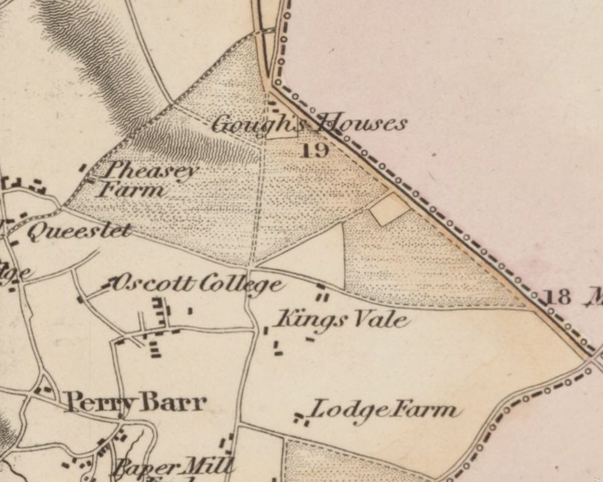
Follow the two names forward and something odd happens. The southern house, Yates’s “Lodge”, appears as “The Lodge” on an Ordnance Survey drawing of 1817 and “The Lodge or Warren House” on the first one-inch map. By 1850 John and Joseph Fulford were farming at “Warren House”. In 1867 the newspapers were writing of “John Short, of Warren House, Perry Barr”, and by 1872 the Shorts’ home was “the Warren Farm”.
Meanwhile the northern house, Yates’s “Warren House”, had become King’s Standing Lodge. Within a century, each house had ended up with the other’s old name. When and why is not recorded.
A cottage in a plantation
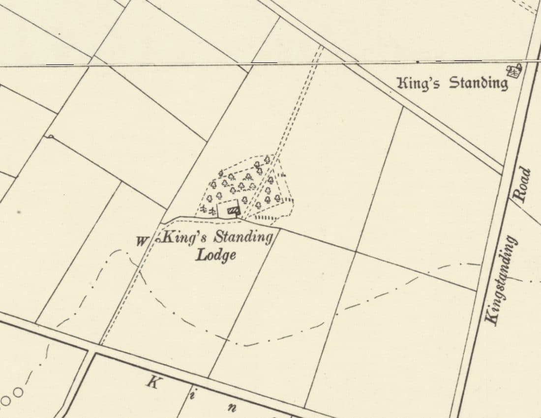
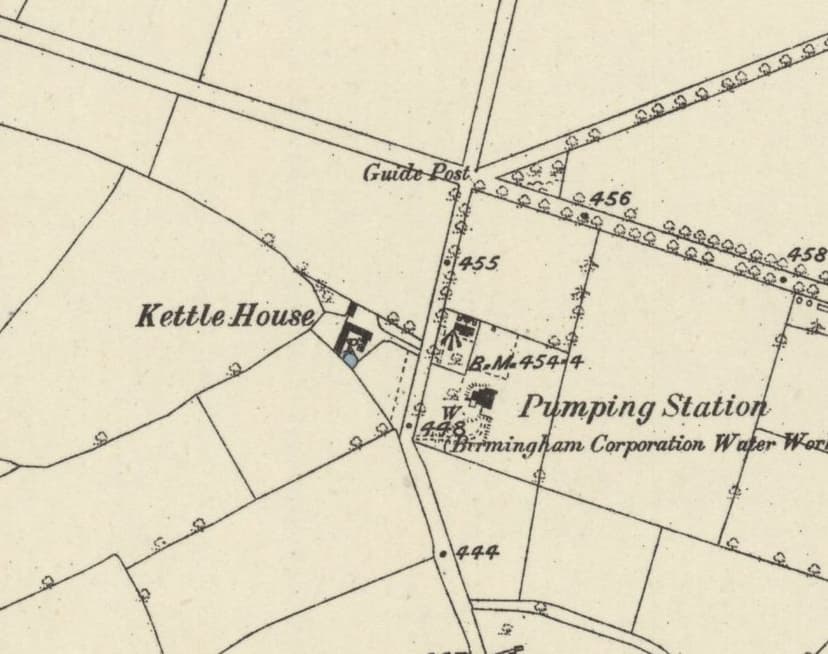
When the Ordnance Survey came in 1882–83, it drew King’s Standing Lodge as a small building tucked into the edge of a triangular plantation, with a well to the west, north of Kings Road and west of today’s Kingstanding Road. The King’s Standing mound lay across the fields to the north-east. Hodder even wondered whether the mound itself might have been an artificial rabbit warren, though it is scheduled today as a prehistoric barrow.
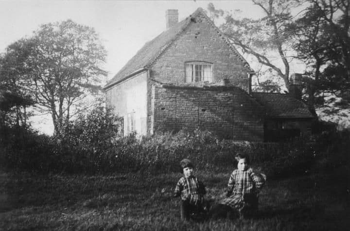
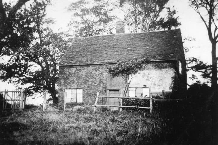
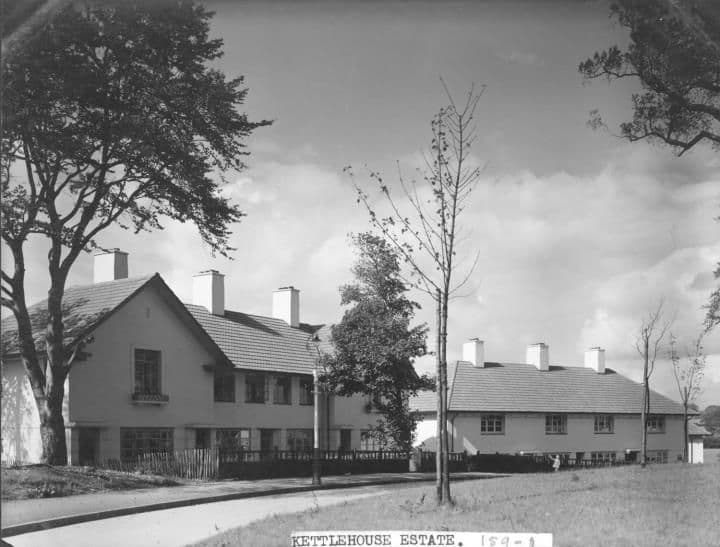
In 1921 Lord Calthorpe’s Perry Hall estate put the lodge up for sale, and the catalogue photograph showed a brick-built cottage. A later local history dated the house to 1780, but Yates had already mapped a building here by 1775, so that date cannot be right unless the house was rebuilt. Photographs of “Bandywood Cottages … situated in the Bandy Woods” in the 1930s may show the same house, but the captions do not say so.
Gone in 1930
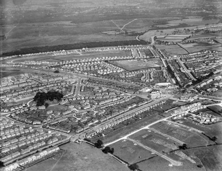
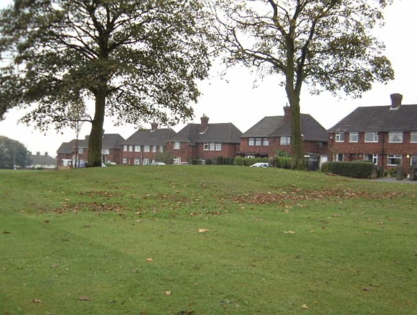
According to Hodder, who cites the Birmingham Post of 10 March 1930, the lodge was demolished when Birmingham Corporation bought the land for housing that year. An aerial photograph of 8 September 1938 shows no building, but a clump of mature trees kept inside the new Bandywood Crescent green.
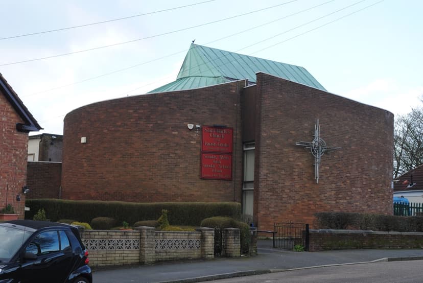
The site is the south side of that green, just north of St Mark’s Church. In 2015 the Diocese of Birmingham’s archaeological assessment still noted it: “Former Warren House/Kingstanding Lodge, 18th cent building”.
Stand on the green today and you are on the spot where, for more than a century and a half, a warrener’s lodge stood, first alone on the heath and then among the new fields: a house called King’s Standing long before there was a Kingstanding estate.
Pictures
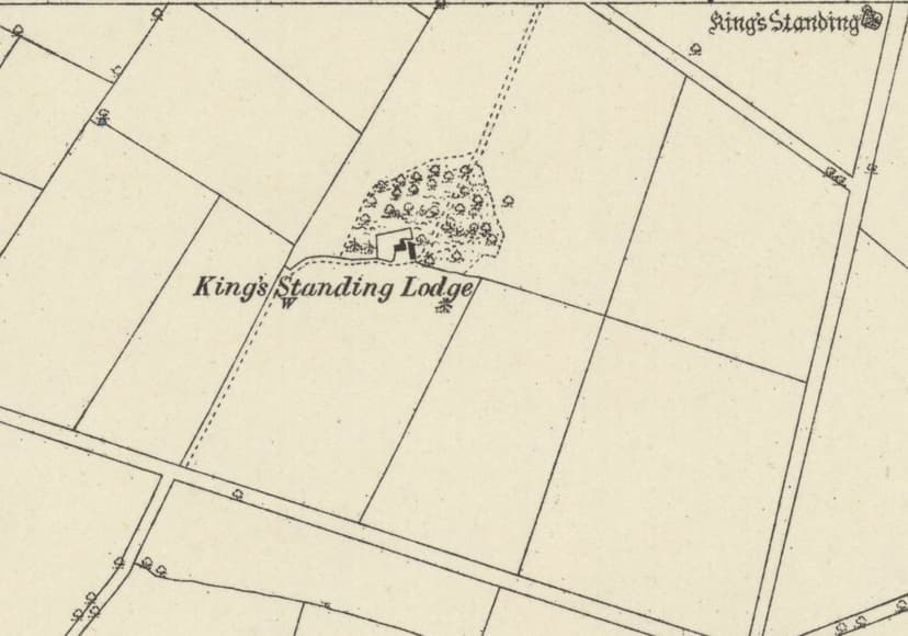
King’s Standing Lodge on the first detailed survey of 1882–83, with a well (W) and the mound in the corner.Ordnance Survey six-inch map, surveyed 1882–83, published 1884 · Out of copyright 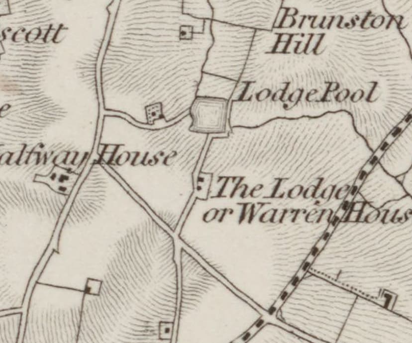
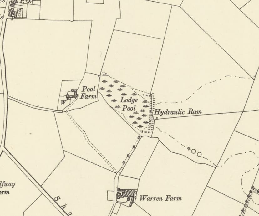
The other warren house: “The Lodge or Warren House”, later Warren Farm, on the first Ordnance Survey map. The two houses’ names swapped over time.Ordnance Survey one-inch Old Series, revised 1831–32 (1863 printing), enlarged · Out of copyright
From the Heritage Archive
- Advertisement: King’s Standing Lodge House to let — Aris’s Birmingham Gazette, 13 March 1820. Ref. BL/0000196/18200313/031. Snippet only.
- The development of some aspects of settlement and land use in Sutton Chase (PhD) — M. A. Hodder, University of Birmingham, 1988. Ref. pp.117–118, 252–253, 263. Yates names; 1921 photograph (Fox & Sons, lot 42); demolition 1930 citing Birmingham Post 10 Mar 1930; Crook 1968 date.
- Marriage and family notices (Short family of Warren House / Warren Farm) — Aris’s Birmingham Gazette; Wellington Journal; Western Times; Birmingham Daily Post, 1867–1878
- Post Office Directory of Birmingham, Staffordshire & Worcestershire — 1850. Ref. p.300. “Fulford John & Joseph, farmers, Warren ho[use]”.
- Gough settlements naming Warren House — Library of Birmingham, Gough of Perry Hall papers, 1742; 1774. Ref. MS 3145/63/6 and 63/7 (now MS 3145/1/7/18/18–19). Which house is meant is unresolved.
- Archaeological Assessments — Handsworth & Central (Kingstanding St Luke entry) — Church of England Birmingham (M. Hodder), 2015
- Aerial photograph EPW059305 (Bandywood Crescent) — Aerofilms / Historic England, 8 September 1938. Ref. EPW059305. Described only; not reproduced here.
- Photograph captions: Bandywood Cottages — Birmingham Images (Library of Birmingham), 1930s. Ref. WK K10 0095; WK/K10/96. Link to the lodge possible only.
- Map of the County of Stafford (Yates) — William Yates, surveyed 1769–75, published 1775. Read for facts only; not reproduced.
- OS one-inch Old Series, sheet LXII SE; OS six-inch 1st and 2nd editions — Ordnance Survey, 1831–32; 1882–83; 1901. Ref. NLS 257403148; NLS 101597597
- Heritage research notes 10 (§6) and 11 (§2, §5) — kingstanding.org, 2026. Position from the OS symbol, ±20 m; Hodder’s grid reference is about 300 m east and treated as approximate.
Comments
Comments will load here.