
A deed of 1352 describes a house at Oscott, and it places it with care: the house stood “between the road from Lichfield to Perry and Oscotechapel”. Nobody now knows where that chapel was. But the line proves that more than 670 years ago Oscott had a chapel of its own, standing beside a main road.
Not in Domesday
Oscott is not named in Domesday Book in 1086. In 1352 it lay “in the fee of Pyrye” — within the lordship of Perry. W. H. Duignan, writing in 1902, read the name as “Osa’s cot” and found it first recorded in the 13th century.
The Gough family of Perry Hall kept the old title deeds, and twenty-five of them, from 1336 to 1582, survive in the Library of Birmingham. They give us the chapel before we ever see it. In 1336 someone held “two selions in Chapelfield, in Oscote” — two strips in a field already named after the chapel, so the chapel must have been there before then. In 1349 there were “four messuages in Oscote”, four houses with their land. In 1377 a croft lay “between the Lydgate of the Chapel and the road leading to the chapel”.
The town of Oscote
In 1392 a house stood “in the town of Oscote next to the road from Handsworth to Birmingham”. In a medieval deed a “town” can mean no more than a small settlement, but it was a place with a name, houses, a chapel and roads running out of it.
Chapelfeld turns up again and again — in 1421, 1446, 1477, 1511 and 1516. The deed of 1446 places a house and croft “between Chapelfeld and the road leading from Oscote towards Bermyngeham”. The deeds run on to 1582. Around 1650 people of Perry Barr sent a petition “about Oscott chapel”; whether that meant the medieval chapel or the Catholic mission at Oscott is not clear.
Fields that remembered
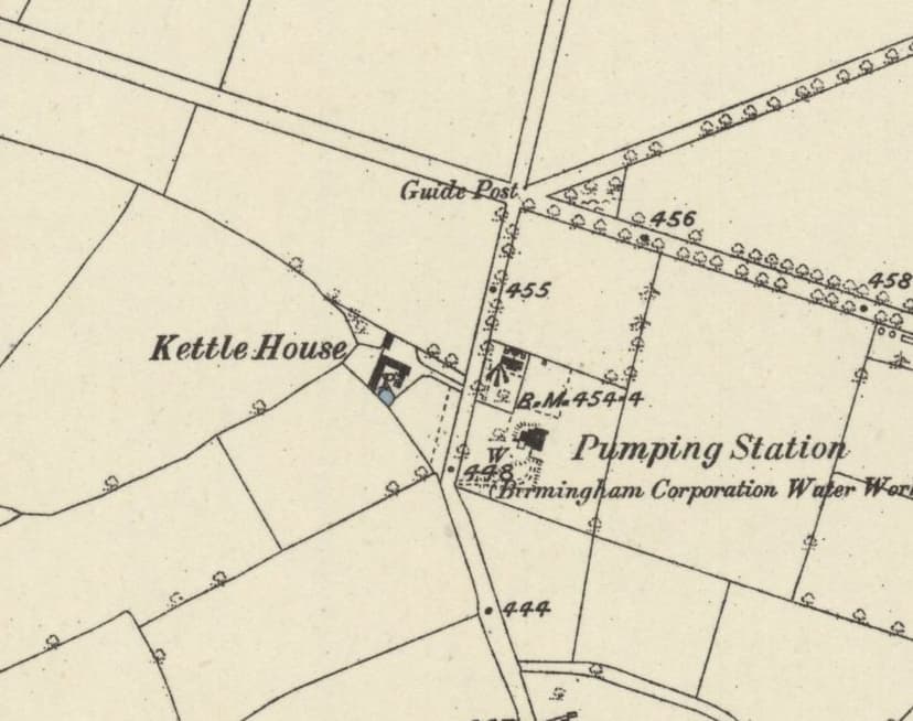
The chapel fades from the record, but its fields did not. In 1814 and 1818 “Chappell Fields” were part of Francis Beynon Hacket’s Oscott estate, along with Kettle House and land at Oscott Green. When the estate was sold in 1842, the particulars listed a “Far Chapel Field” and a “Near Chapel Field” with the “Manor of Oscott”, and in 1843 Hacket conveyed the house and the two Chapel Fields to Lord Calthorpe. Five hundred years after the first deed, the names were still in use. The sale plan of 1842 should show where the fields lay, and so where to look for the chapel.
Oscott House and Old Oscott Farm
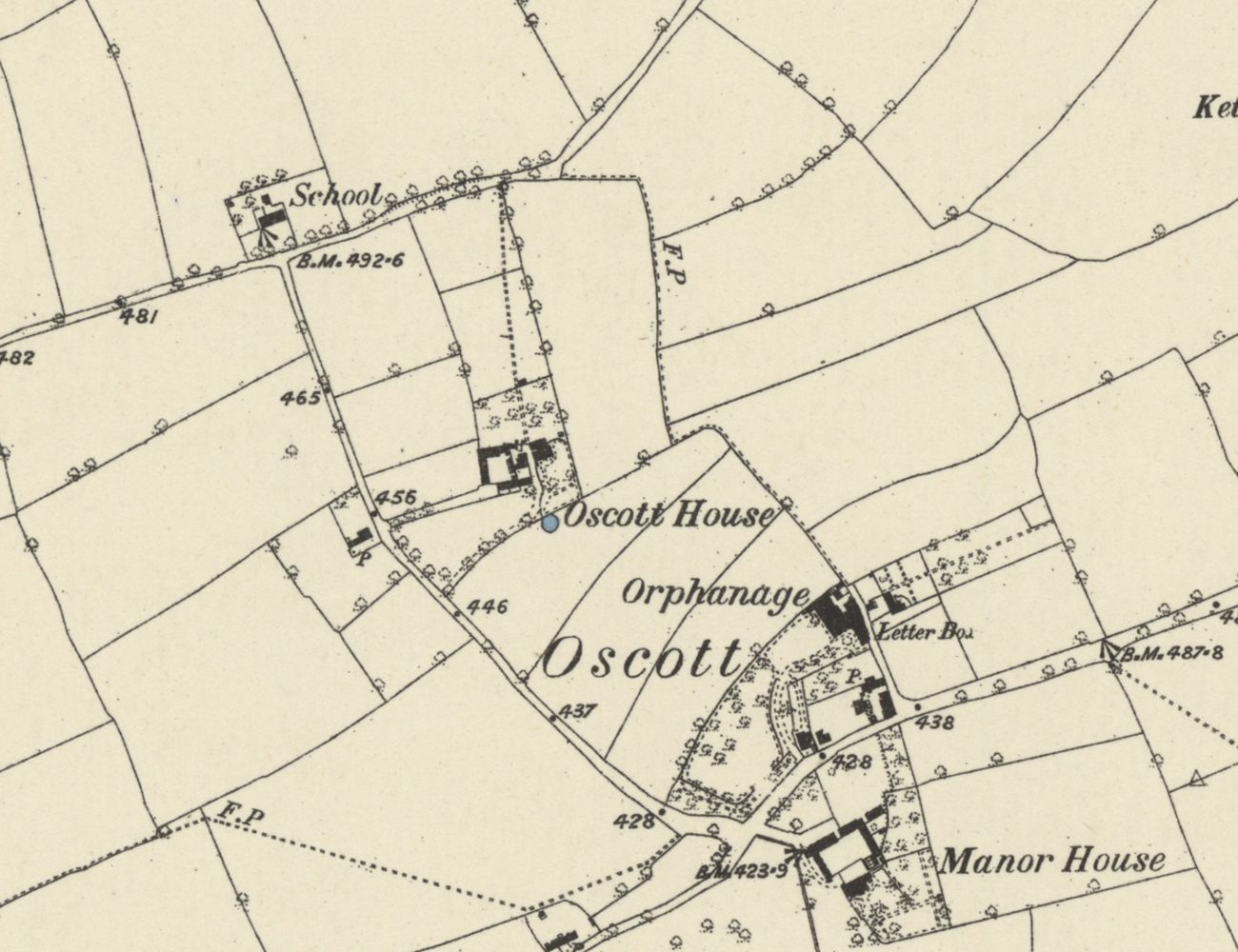
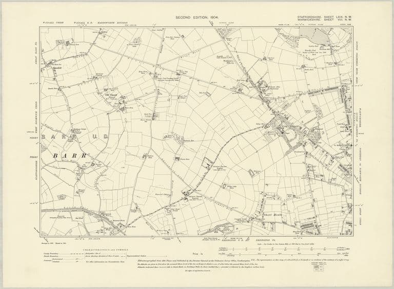
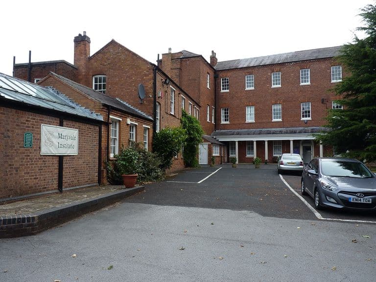
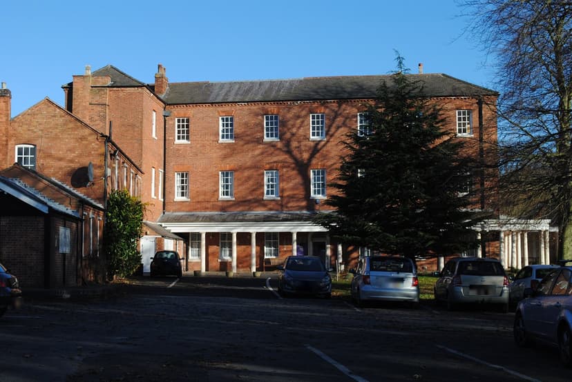
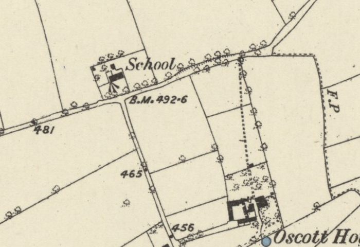
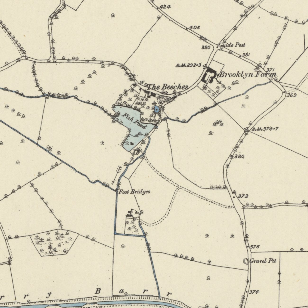
By the 19th century the hamlet had a farm on School Lane, now Oscott School Lane, just north-west of Maryvale. On the six-inch map of the 1880s it is “Oscott House”; by 1901 it is “Old Oscott Farm”, with a pond beside it. Historic England’s listing gives “Oscott House” as another name for Maryvale itself, so the name may have belonged to both houses at different times.
Old Oscott Farm was part of Lord Calthorpe’s Perry Hall estate. At the sale of 1921 it was offered at 157 acres, let at £435, and withdrawn at £7,520. Houses of the 1930s to 1950s were later built over it. Nearby, the Manor House just south of Maryvale — home of the Davenhill family in 1858 — had become Manor Farm by 1901.
A name older than Maryvale
Nothing of the medieval chapel has been found. But the old roads of the hamlet — Old Oscott Hill, Old Oscott Lane and the line of School Lane — still meet near Maryvale, and every letter addressed to Oscott carries a name that was already old when Maryvale was built.
Pictures
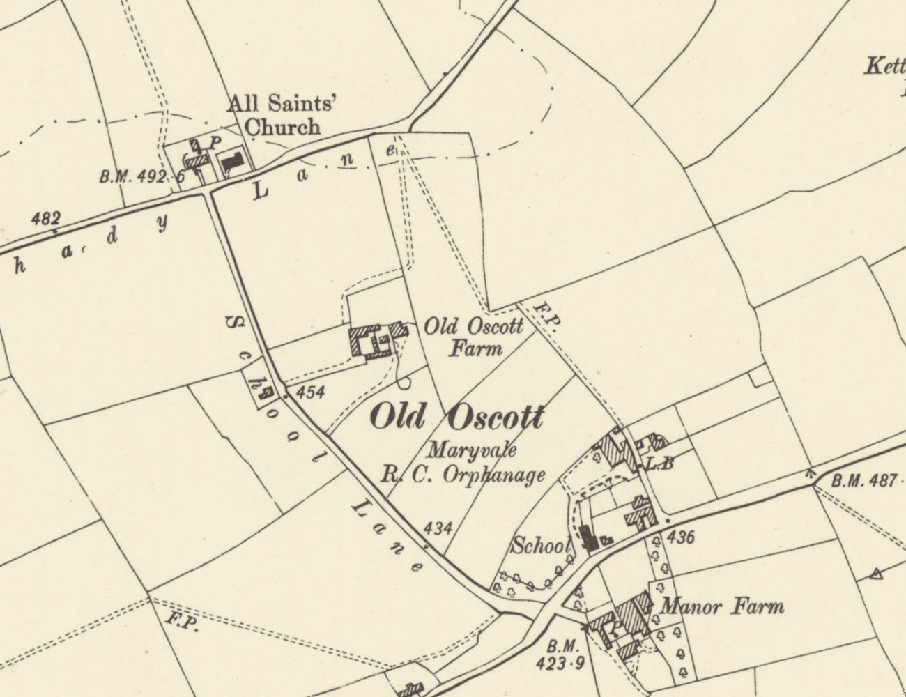
By 1901 the farm on School Lane is “Old Oscott Farm”, and the hamlet is “Old Oscott”Ordnance Survey six-inch map, revised 1901 · Out of copyright 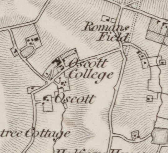
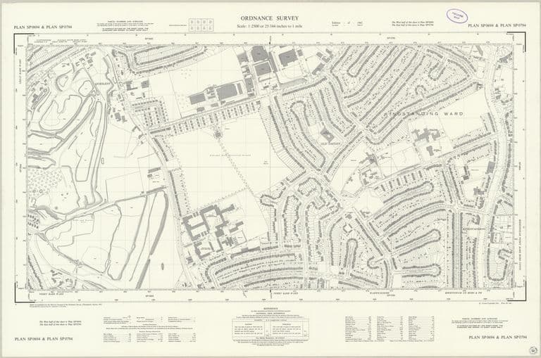
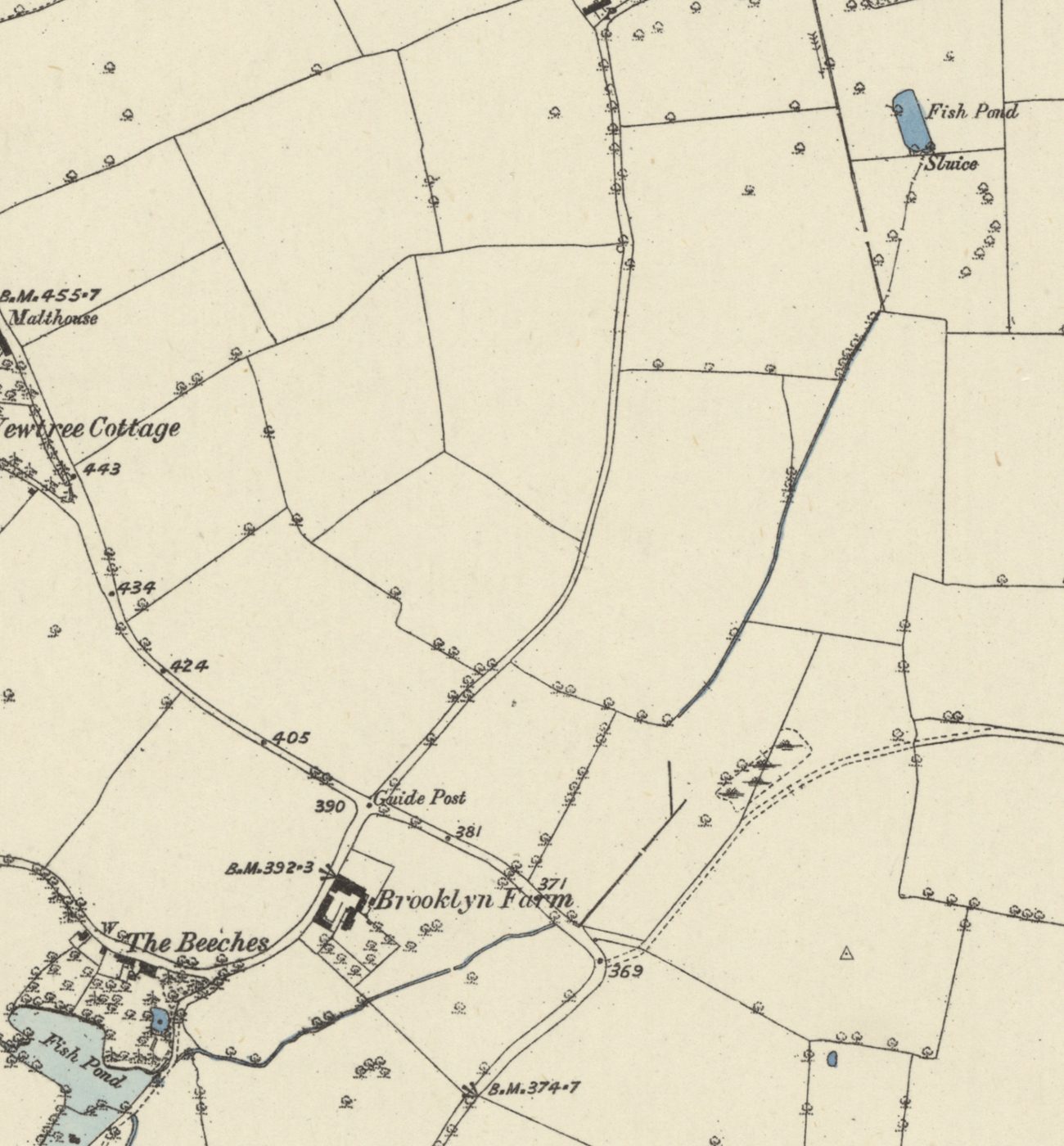
Oscott on the first Ordnance Survey map, revised in 1831–32Ordnance Survey one-inch map, revised 1831–32 (this printing 1863) · Out of copyright
From the Heritage Archive
- Gough of Perry Hall deeds: Oscott series (1336 “Chapelfield, in Oscote”; 1349; 1352 “Oscotechapel”; 1377; 1392 “the town of Oscote”; 1421–1516 Chapelfeld; to 1582) — Library of Birmingham (via The National Archives Discovery), 1336–1582. Ref. MS 3145/37/1, /37/3, /37/4, /37/7, /37/10, /37/11–13, /37/18–21, /37/22–24. Catalogue entries only; the deeds themselves not seen.
- Mortgage and deeds of F. B. Hacket’s Oscott estate (“Chappell Fields”, Kettle House, Oscott Green) — Library of Birmingham, 1814; 1818. Ref. MS 3145/36/6 a & b; MS 3145/36/8. Catalogue entries only.
- Freehold estates at Oscott: sale particulars and plan (Far and Near Chapel Field; Manor of Oscott) — E. & C. Robins / Library of Birmingham, 1842. Ref. MS 3145/36/9 a & b. Catalogue entry only. The plan should locate the Chapel Fields.
- Conveyance, F. B. Hacket to Lord Calthorpe (Far and Near Chapel Field, House Croft, Oscott Green) — Library of Birmingham, 1843. Ref. MS 3145/32/3. Catalogue entry only.
- Petition by inhabitants of Perry Barr about Oscott chapel — Birmingham Archdiocesan Archives, c. 1650. Ref. Z5/5/4/4. Catalogue entry only; which chapel is meant is unclear.
- Notes on Staffordshire Place Names — W. H. Duignan, 1902. Ref. p. 112 (Oscot). “Osa’s cot”; first recorded in the 13th century.
- Open Domesday: Perry — Anna Powell-Smith / J. J. N. Palmer. Ref. Staffs 12,27. Oscott itself is not named in Domesday.
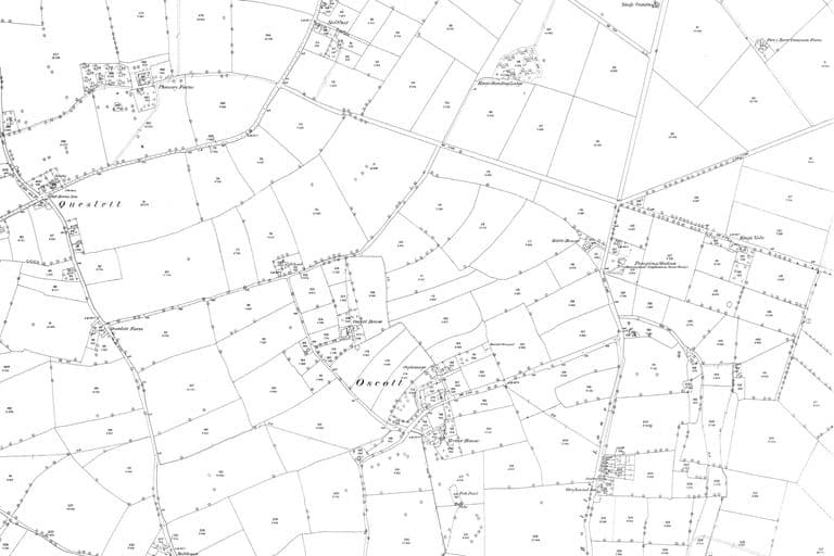
- Ordnance Survey six-inch map, first and second editions — Ordnance Survey, 1880s; revised 1901. Ref. Staffs LXIX.NW. “Oscott House” (1880s) and “Old Oscott Farm” (1901); Manor House / Manor Farm.
- Maryvale Institute (list entry) — Historic England (text via britishlistedbuildings.co.uk), listed 25 Apr 1952. Ref. NHLE 1076213. Gives “Oscott House” as an alternative name for Maryvale.
- Perry Hall estate sale report — Birmingham Daily Gazette, 23 Sep 1921. Ref. BNA BL/0000669/19210923/067. Old Oscott Farm, 157 acres, let at £435, withdrawn at £7,520. Free search snippet only.
- General & Commercial Directory of Birmingham, p. 674 (Perry Barr) — W. H. Dix, 1858. “Davenhill W., Manor House, Oscott”.
- History of Birmingham Places & Placenames: Oscott — William Dargue, 2008–2022. Secondary; the hamlet at the junction of Old Oscott Lane and Old Oscott Hill.
Comments
Comments will load here.