
Each building is placed from the old Ordnance Survey maps, drawn from paintings, prints and photographs, and set among the buildings that stand there now. The old building is solid; today’s buildings are pale and see-through; anything that survives is green. Heights and details that no source records are estimates, and each model’s key says so.

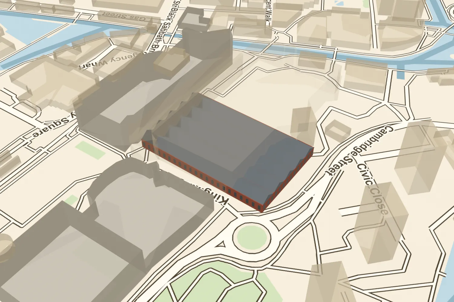 Bingley HallBingley Hall opened on Broad Street in 1850, a vast brick hall for cattle shows, exhibitions and great meetings. It burned in 1984; the International Convention Centre stands on most of its site.Turn it in 3D →
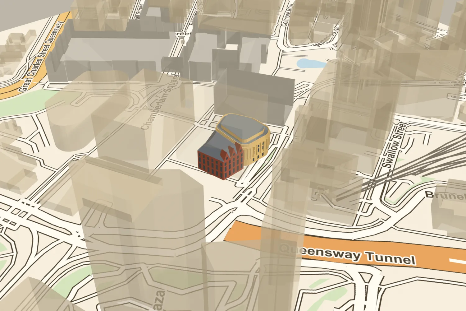 The Birmingham and Midland InstituteThe Birmingham and Midland Institute stood on Paradise Street from 1857, joined to the Central Library, until it was demolished in 1965.Turn it in 3D →
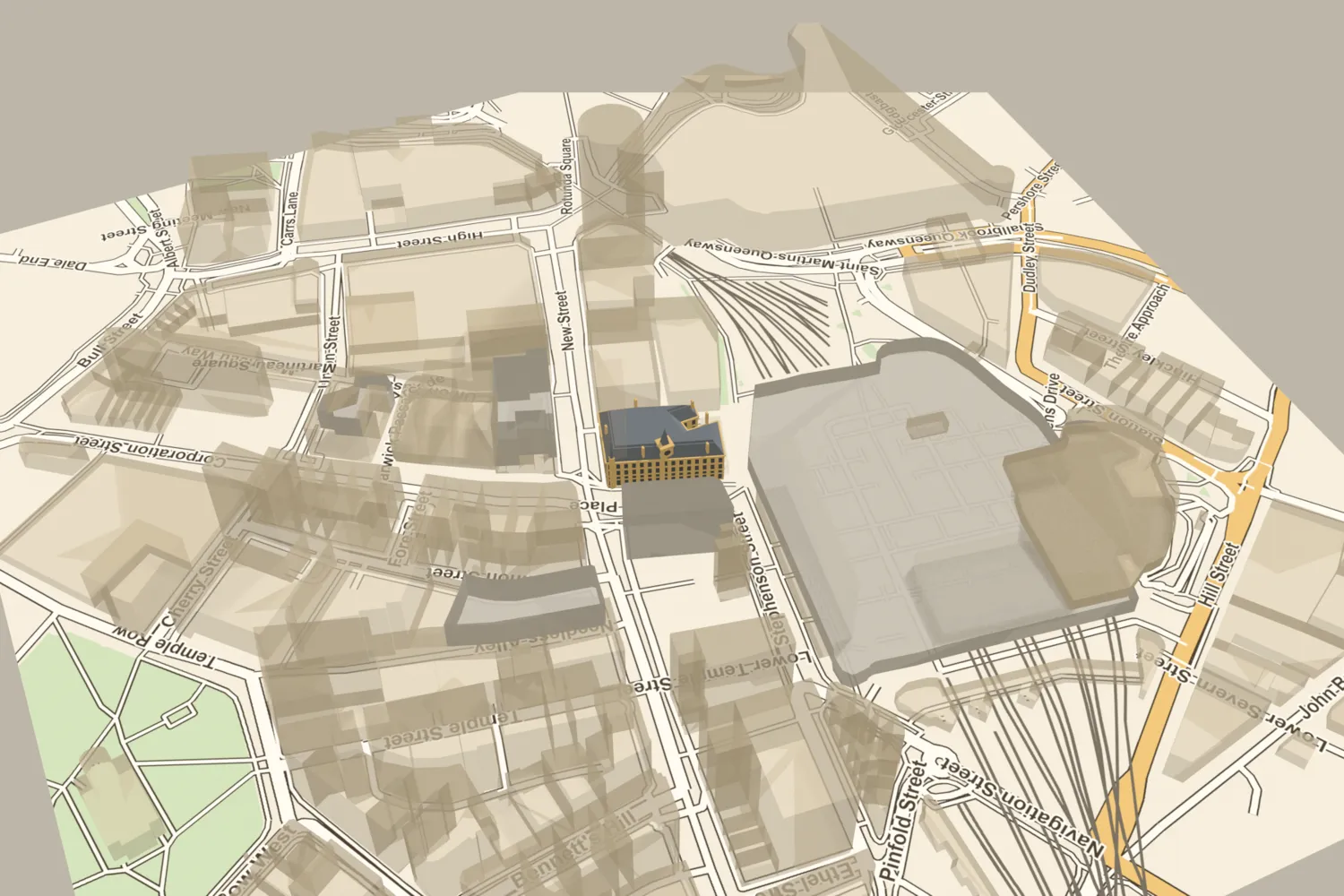 The Birmingham ExchangeEdward Holmes’s Gothic Exchange opened beside New Street station in 1865, a meeting place for Birmingham’s merchants under a clock tower about 100 feet high. It was demolished in 1965.Turn it in 3D →
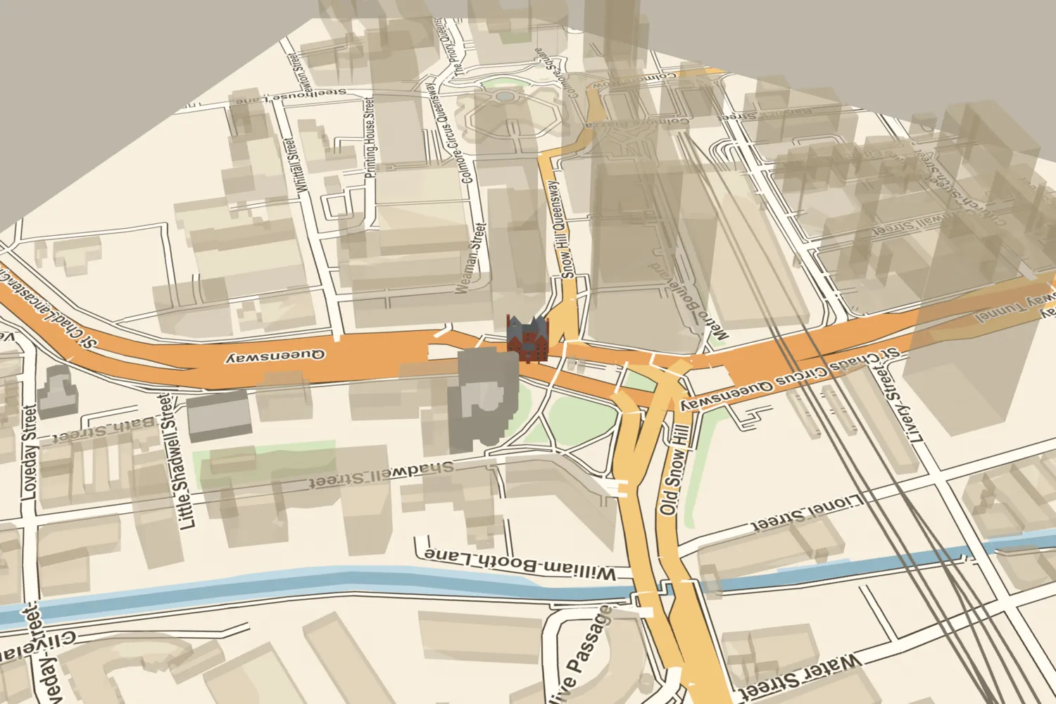 Bishop’s HouseA. W. N. Pugin’s red-brick house for the Catholic bishops, opposite St Chad’s Cathedral, was built in 1840–41 and demolished around 1959 for the inner ring road.Turn it in 3D →
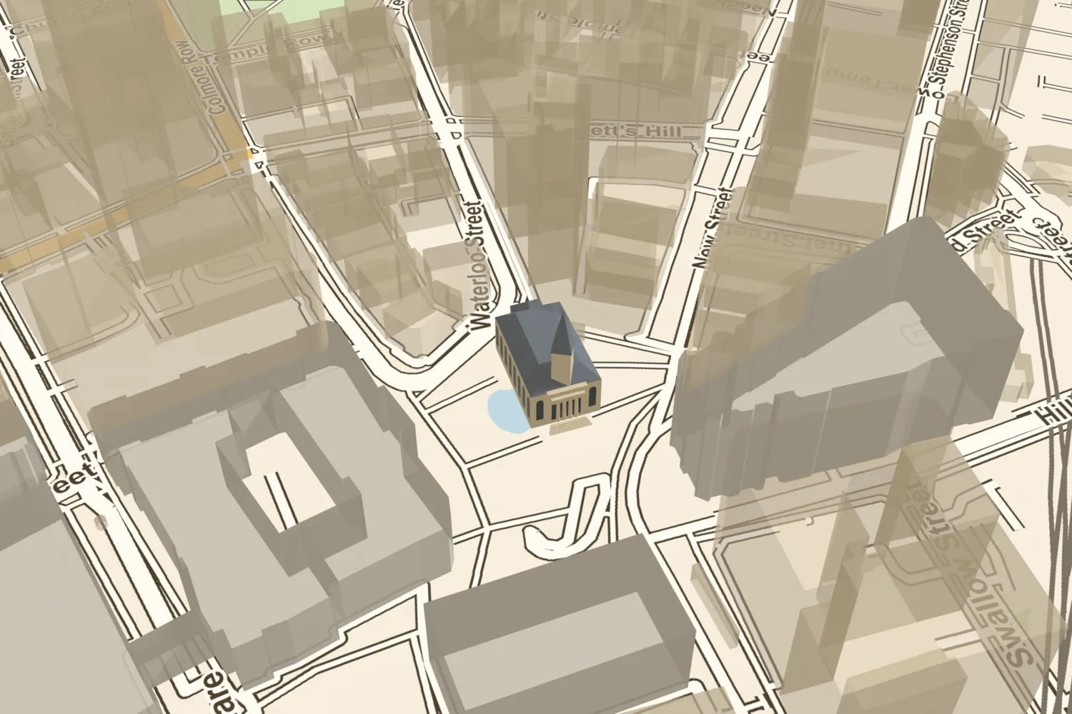 Christ ChurchChrist Church stood at the top of New Street from 1813, with a Doric portico and a tall spire facing the Town Hall. John Baskerville was buried in its catacombs. It was demolished in 1899; the site is now the top of Victoria Square.Turn it in 3D →
 Cornwall WorksTangye Brothers’ Cornwall Works opened beside the Birmingham Canal in 1864 and grew into one of the Midlands’ great engineering works. Tangyes left in 1969; modern foundry sheds now stand on the site.Turn it in 3D →
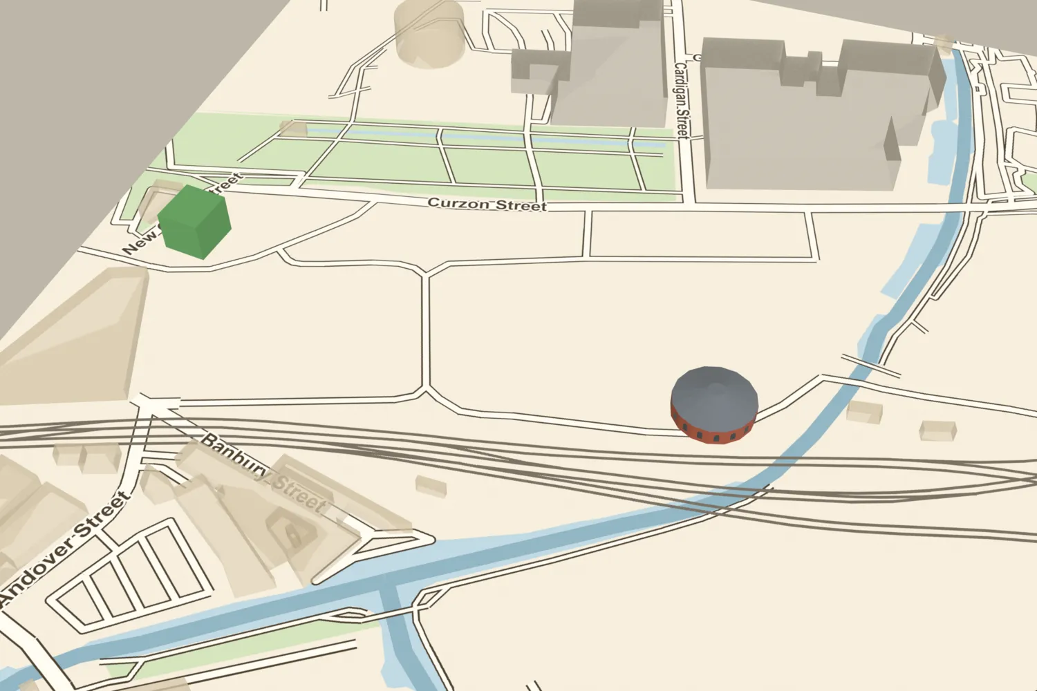 The Curzon Street roundhouseThe London & Birmingham Railway’s engine house of 1837, sixteen-sided round a turntable, is the earliest known railway roundhouse. It was demolished around 1860 and found again by HS2’s archaeologists.Turn it in 3D →
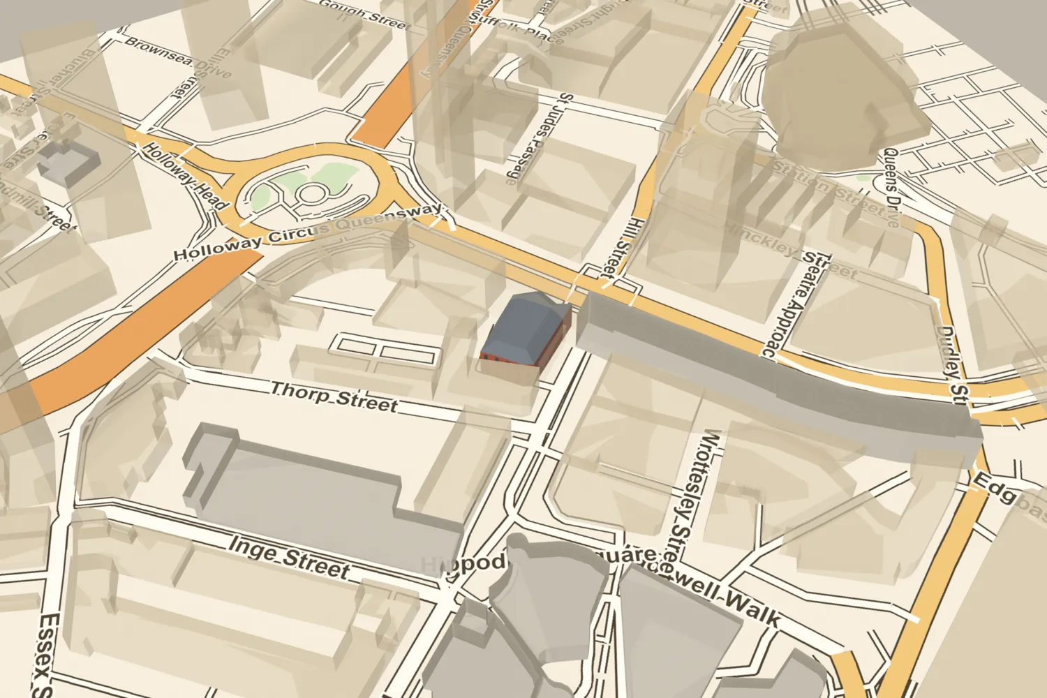 The Empire TheatreThe Empire Palace of Varieties on Hurst Street, rebuilt in 1894 from Day’s concert hall, was one of the city’s big music halls. It was bombed in October 1940 and its ruins cleared about 1950.Turn it in 3D →
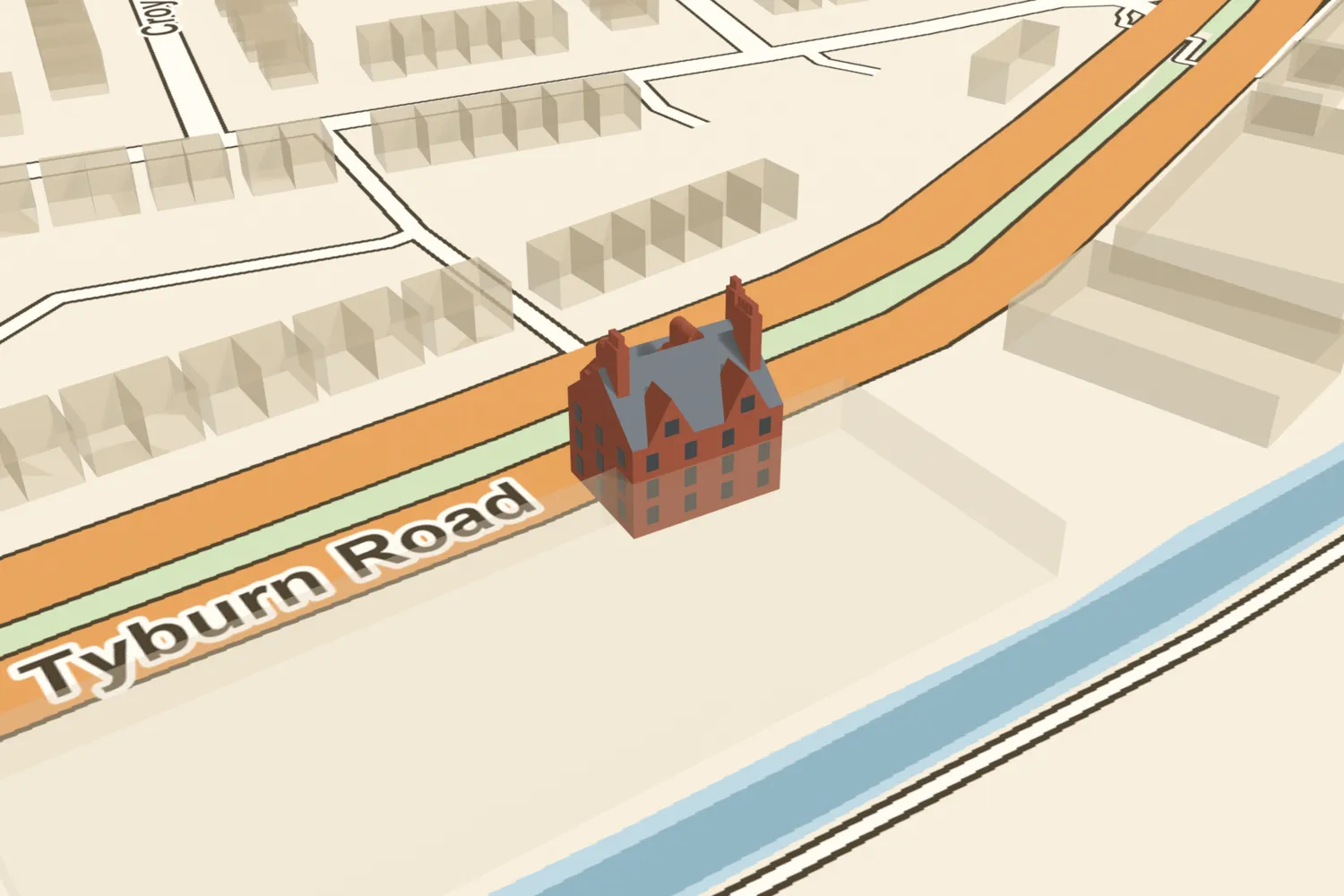 Erdington HallThe Jennens family’s moated brick hall of the 1650s, with Dutch gables, was still lived in in 1908 and demolished in 1912 when Tyburn Road was built across its site.Turn it in 3D →
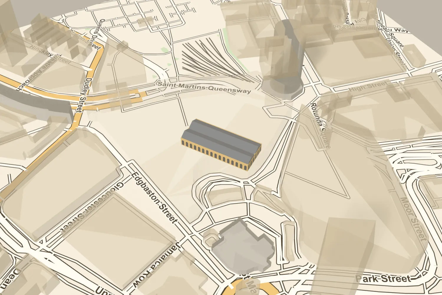 The Fish MarketBirmingham’s Fish Market stood on Bell Street beside the Bull Ring from 1869–70, opposite the Market Hall. It was demolished in 1958.Turn it in 3D →
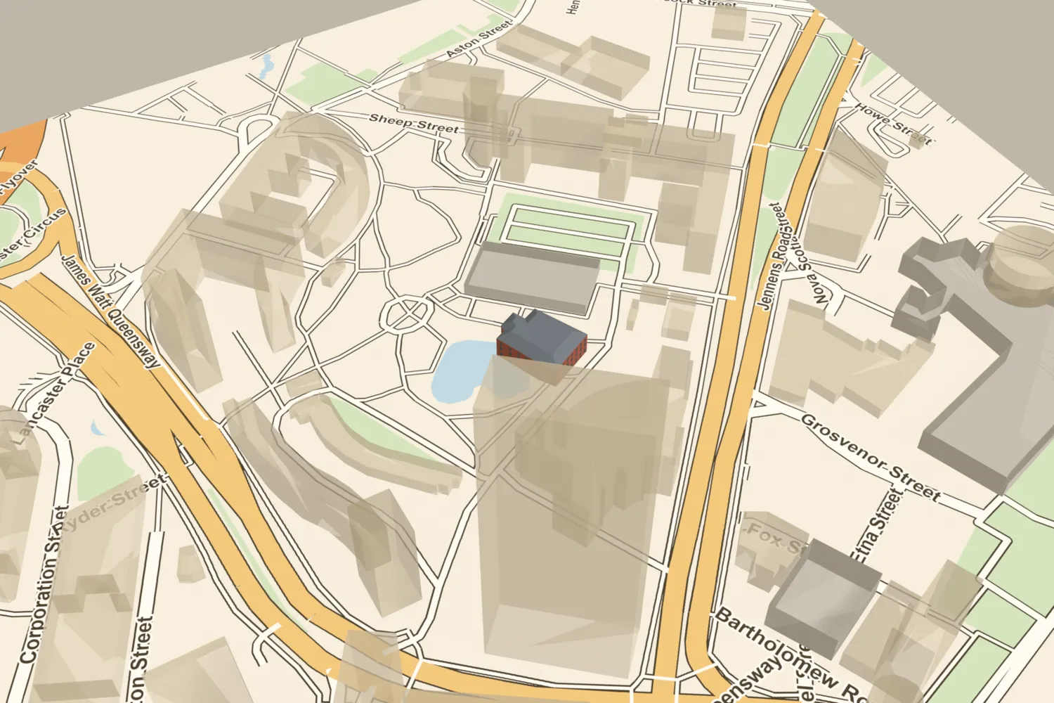 The Gaiety TheatreHolder’s concert hall opened on Coleshill Street in 1846 and was rebuilt in 1897 as the Gaiety, a music hall. It was demolished in 1938; the site is now part of Aston University’s campus.Turn it in 3D →
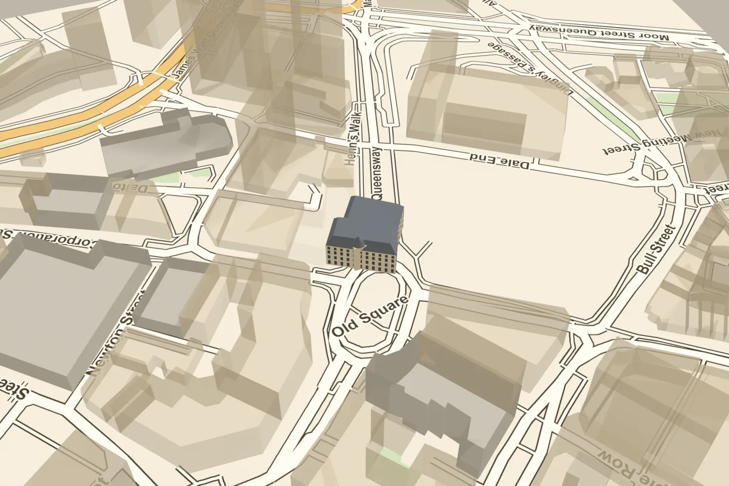 The Grand TheatreThe Grand Theatre opened on Corporation Street in 1883, a French Renaissance front with a dome carrying a sculpture of Aurora in her chariot. It was demolished in 1963.Turn it in 3D →
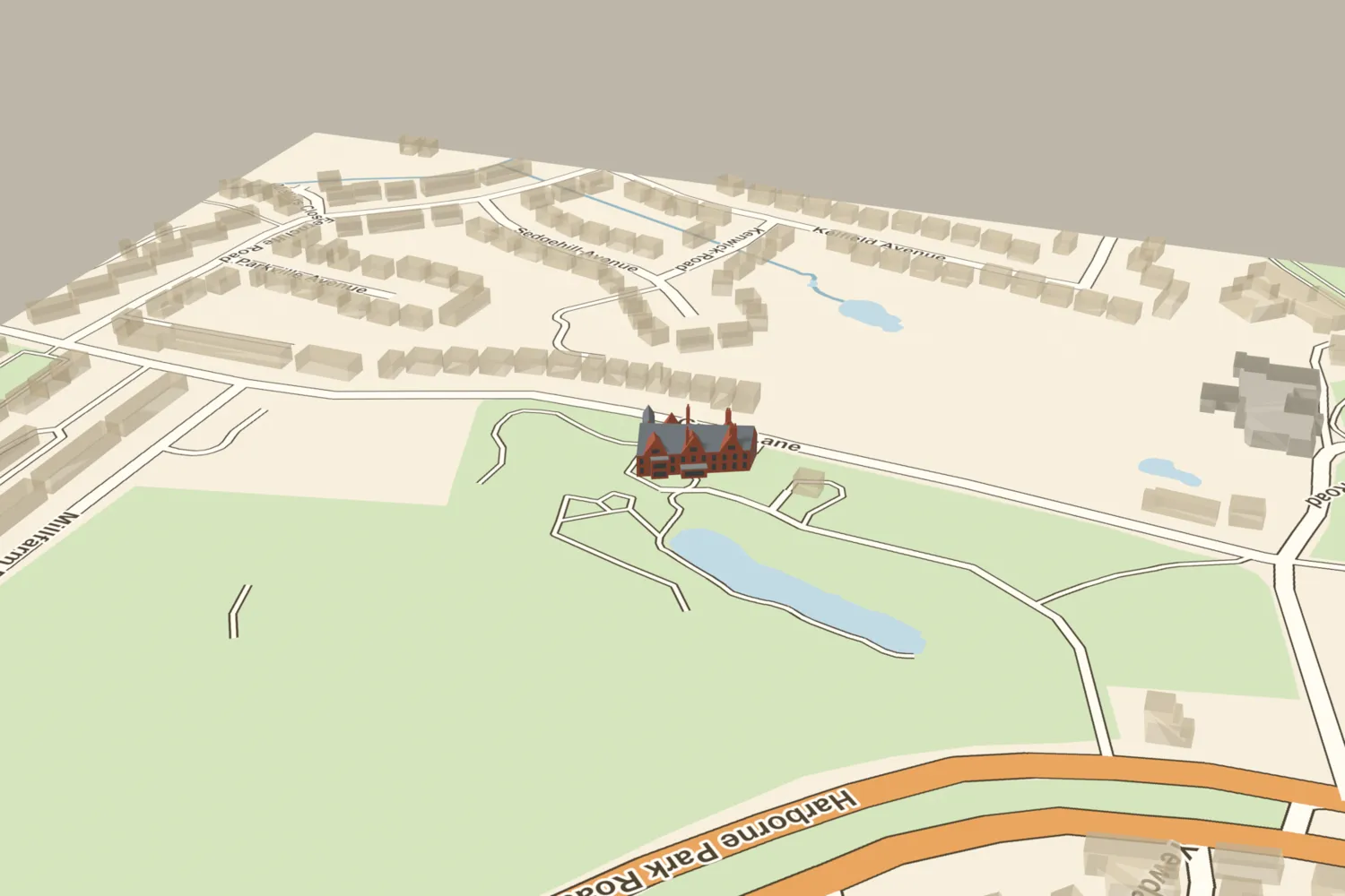 The GroveWilliam Kenrick’s house, rebuilt by J. H. Chamberlain in 1877–78, was demolished in 1963 and its grounds became Grove Park. One room survives, in the Victoria and Albert Museum.Turn it in 3D →
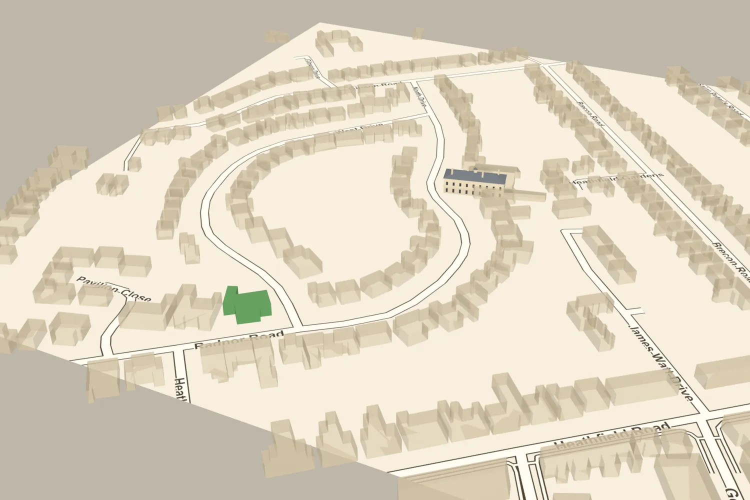 Heathfield HallJames Watt’s home from 1790 until he died there in 1819, demolished in 1927–28. Its lodge on Radnor Road survives.Turn it in 3D →
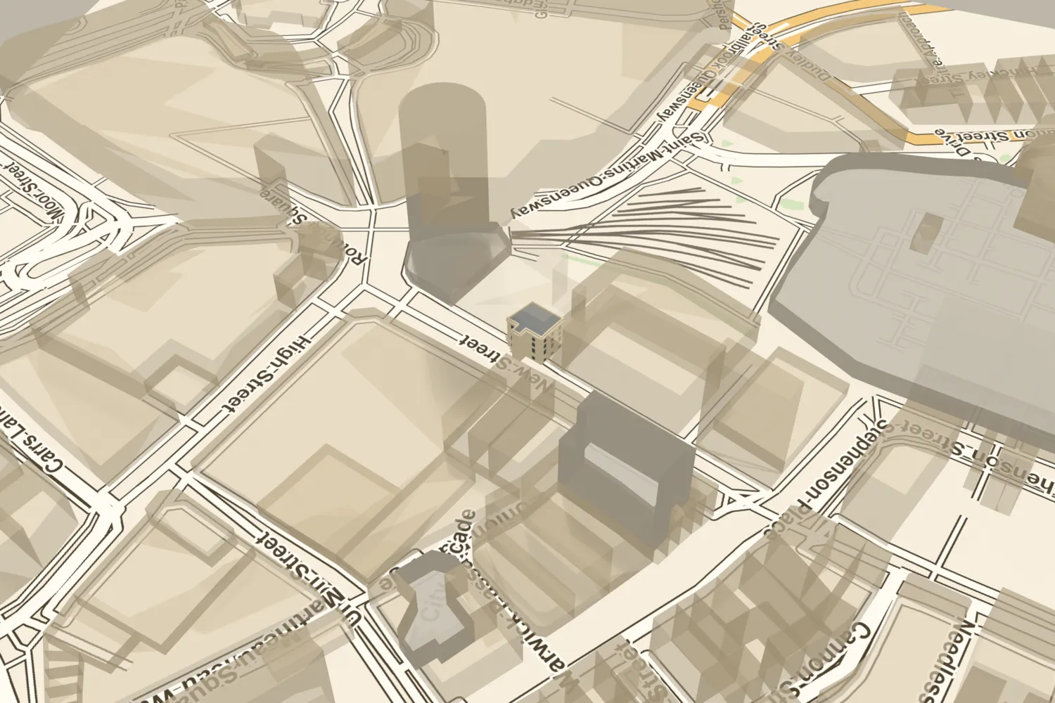 The Hen and ChickensThe Hen and Chickens on New Street was one of Birmingham’s great coaching inns, rebuilt as a hotel in 1798 with a balconied front. It closed in the 1890s.Turn it in 3D →
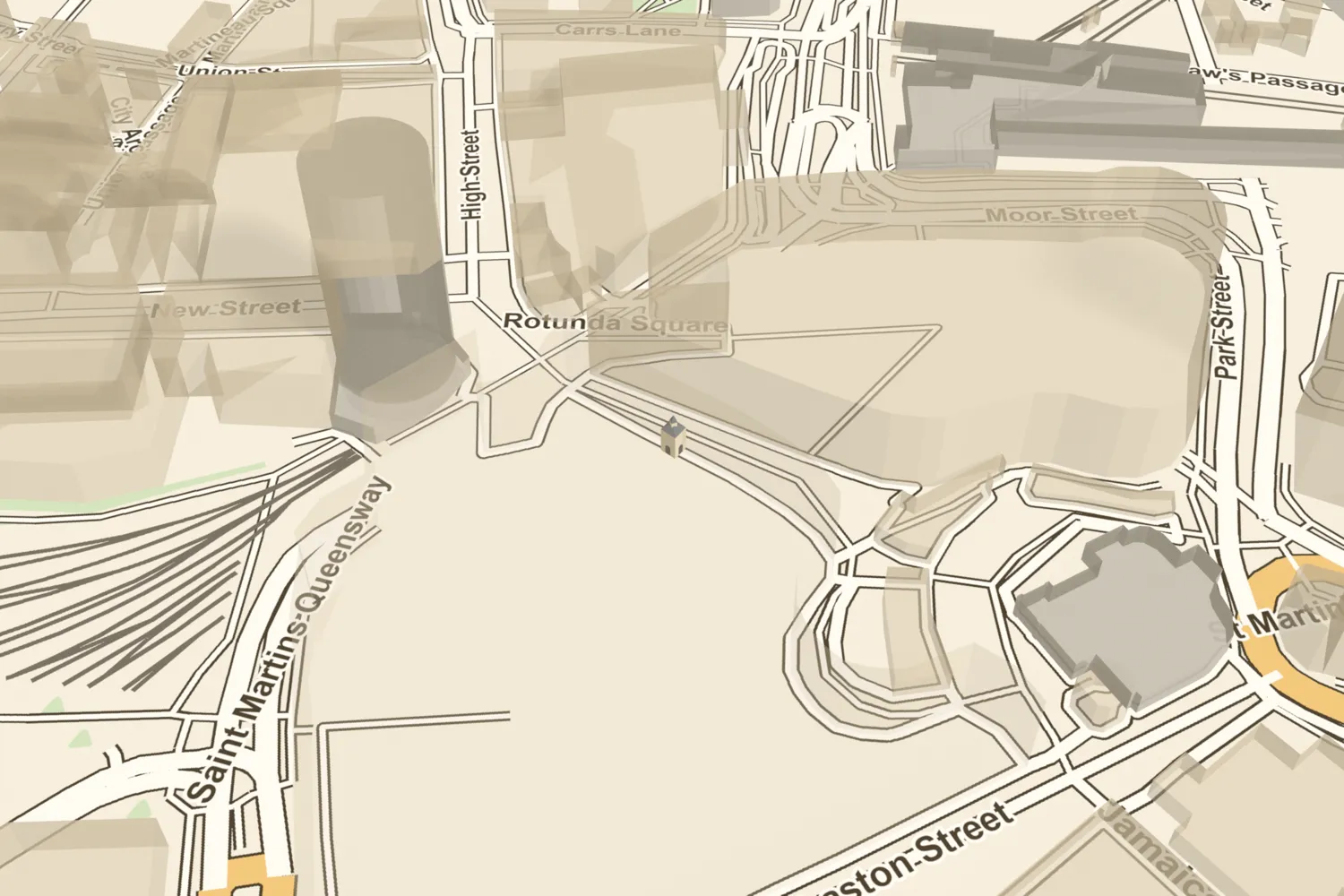 The High CrossThe High Cross, or Old Cross, stood in the Bull Ring from 1702–3: an open arcade where traders sheltered, with a room above and a clock from 1727. It was taken down in 1784.Turn it in 3D →
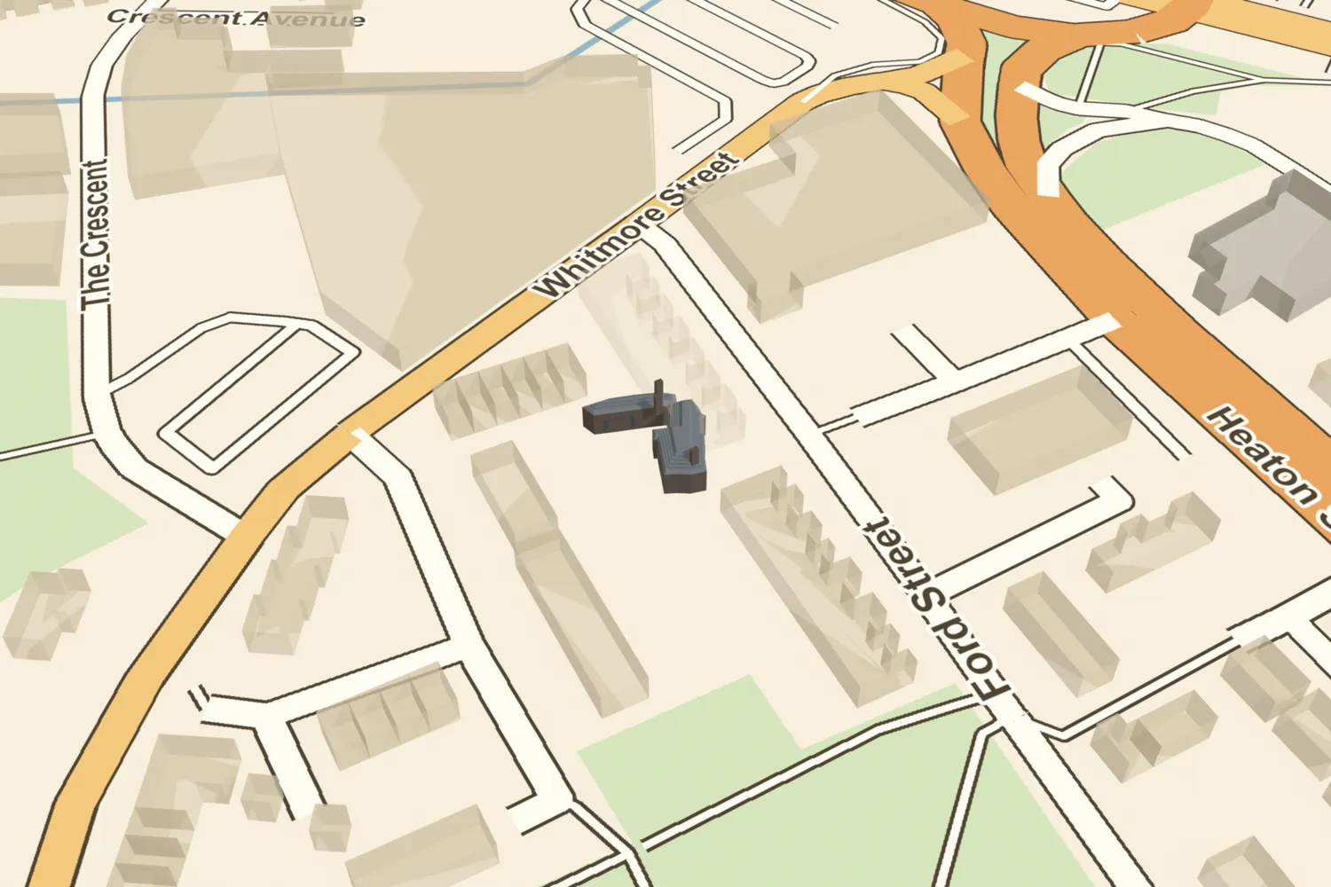 Hockley AbbeyRichard Ford’s folly near Soho, built around 1779–80 of black furnace slag to look like a medieval ruin, with the false date 1473 set in pebbles on the front. It was gone by about 1870.Turn it in 3D →
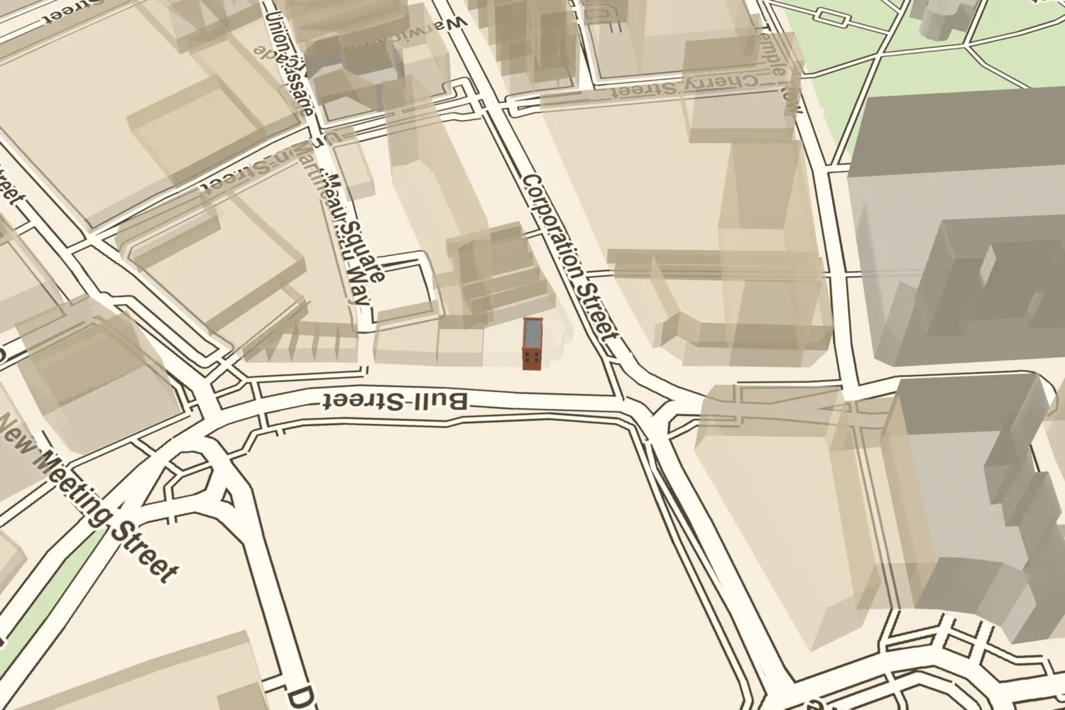 John Cadbury’s shopJohn Cadbury opened his tea and coffee shop at 93 Bull Street in 1824 and sold cocoa he ground himself, the start of the Cadbury business.Turn it in 3D →
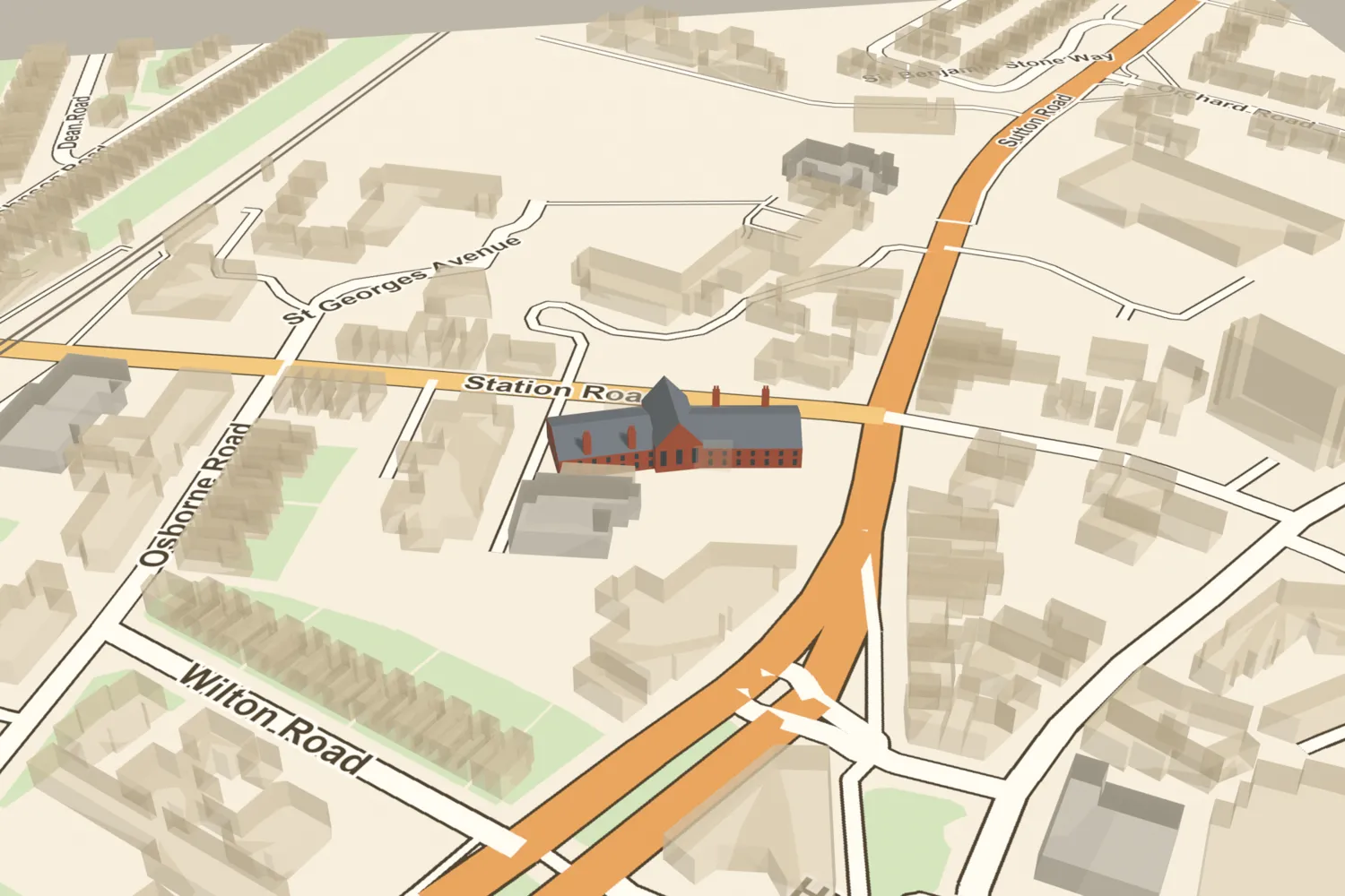 Josiah Mason’s almshousesJosiah Mason built almshouses and a home for orphan girls in Erdington village in 1858. They were demolished in 1974.Turn it in 3D →
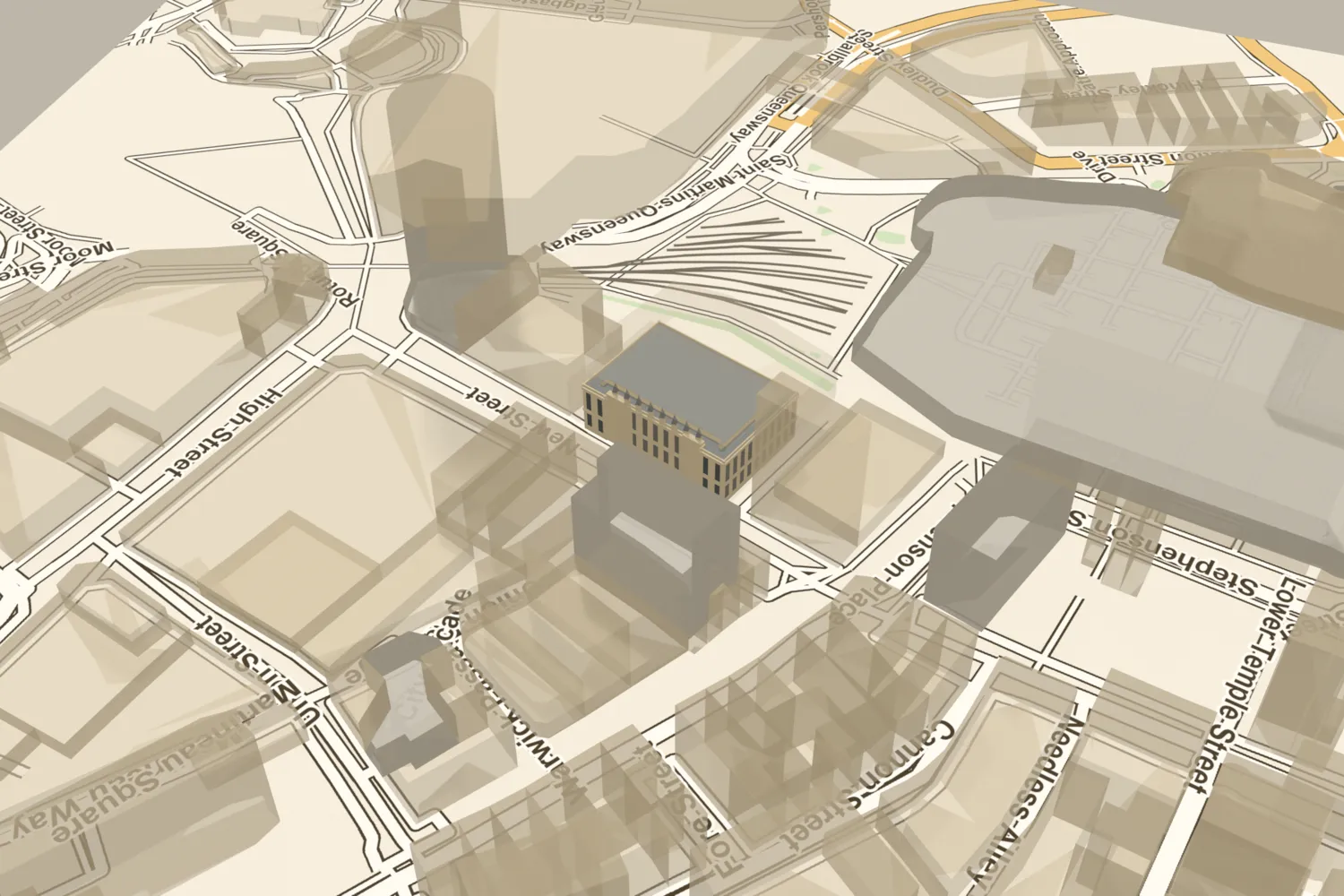 King Edward’s SchoolCharles Barry’s Gothic school on New Street, with interiors by A. W. N. Pugin, was built in 1833–38. It was demolished in 1936; its upper corridor was rebuilt as the school chapel at Edgbaston.Turn it in 3D →
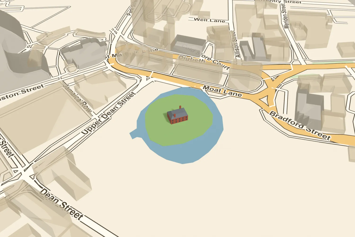 The manor house and moatThe moated manor house of the de Bermingham lords, beside the market they founded in 1166. The moat was filled in 1815–16 for Smithfield Market; its buried walls are now a scheduled monument.Turn it in 3D →
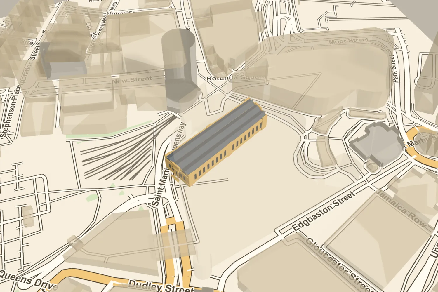 The Market HallCharles Edge’s great covered market opened beside the Bull Ring in 1835. Bombs gutted it in August 1940, and the shell was cleared in the early 1960s.Turn it in 3D →
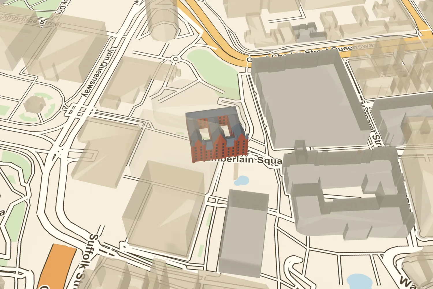 Mason CollegeJosiah Mason’s science college opened on Edmund Street in 1880 and grew into the University of Birmingham. It was demolished in the 1960s for the Central Library, itself demolished in 2016.Turn it in 3D →
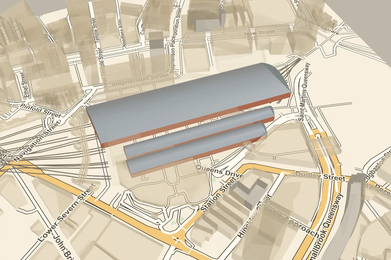 New Street stationNew Street’s great iron train shed of 1854 spanned 211 feet over the tracks. Badly damaged in the Blitz, it was taken down around 1948–52, and the whole station was rebuilt in 1964–67.Turn it in 3D →
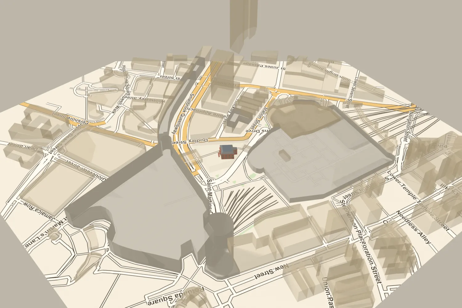 The Old Meeting HouseBirmingham’s Old Meeting, a Dissenting congregation since 1689, was burned in the riots of 1791 and rebuilt in brick in 1795. The railway bought it in 1881 and cleared it for New Street station.Turn it in 3D →
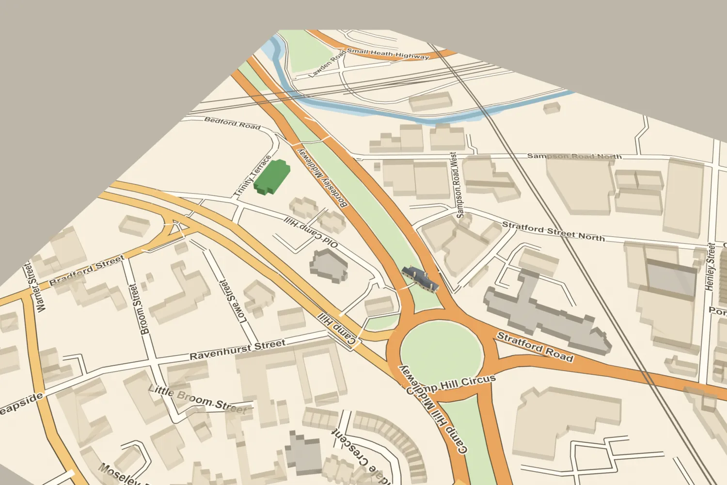 The Old Ship Inn, Camp HillThe old inn on Camp Hill was by tradition Prince Rupert’s headquarters at the Battle of Birmingham in 1643 — a story first told by its Victorian landlord. It was pulled down in 1867.Turn it in 3D →
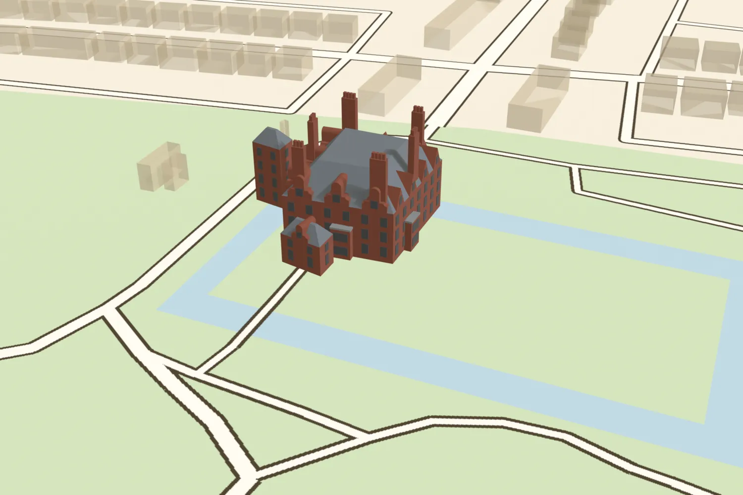 Perry HallThe Gough family’s moated hall, rebuilt in the 1840s as a large gabled brick house, was demolished in 1929.Turn it in 3D →
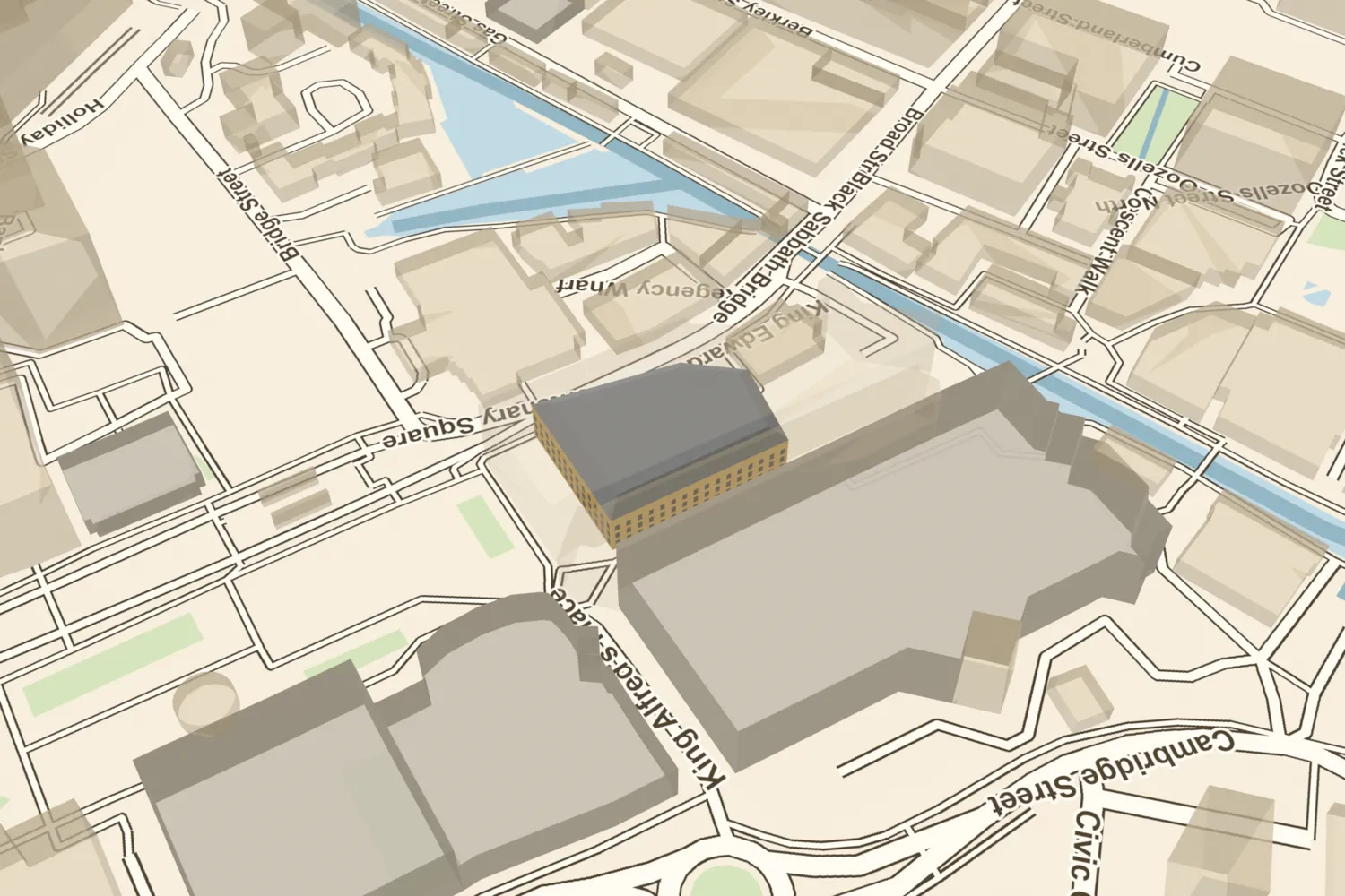 The Prince of Wales TheatreThe Prince of Wales Theatre on Broad Street opened in 1856 and was wrecked by a bomb in April 1941. Its remains were cleared in 1987 for Symphony Hall.Turn it in 3D →
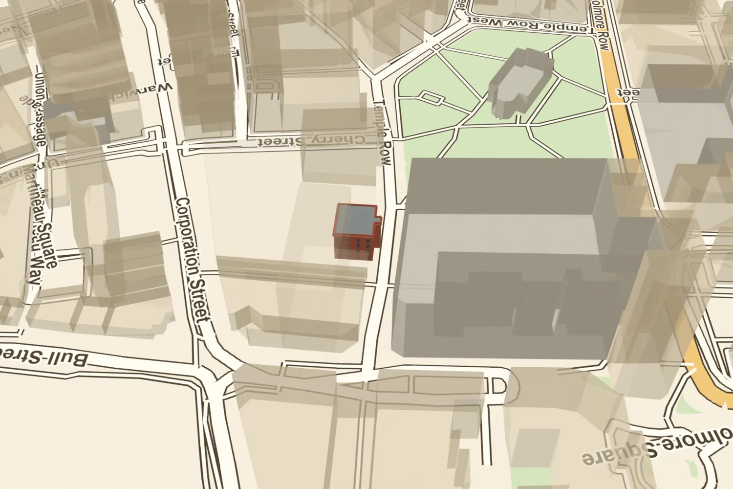 The Royal HotelThe Royal Hotel on Temple Row opened in 1772, with an assembly room for the town’s balls and concerts. It was rebuilt around 1890 and its site was cleared in the 1950s for Rackhams.Turn it in 3D →
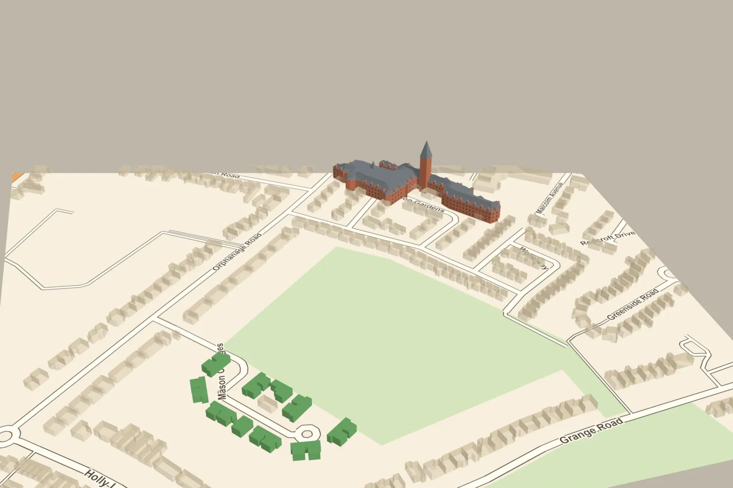 Sir Josiah Mason’s OrphanageJosiah Mason’s orphanage on Bell Lane, now Orphanage Road, was begun in 1860, held up to 500 children, and was demolished in 1964. Mason Cottages, almshouses of the 1920s, still stand on part of the grounds.Turn it in 3D →
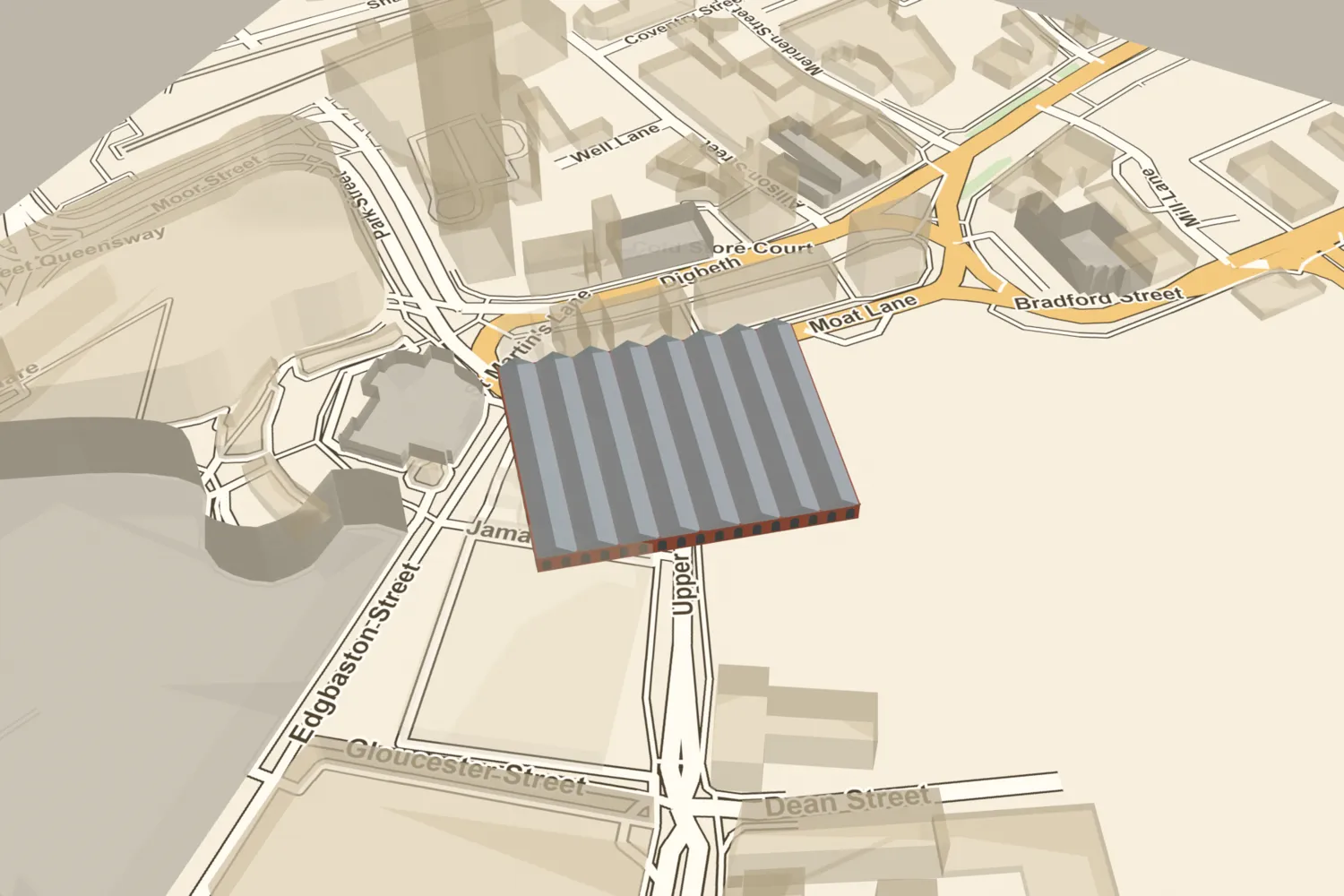 Smithfield MarketSmithfield Market opened in 1817 on the filled-in moat of the de Bermingham manor house, and gained a great covered hall in 1881–83. It was cleared in the 1970s for the Wholesale Markets.Turn it in 3D →
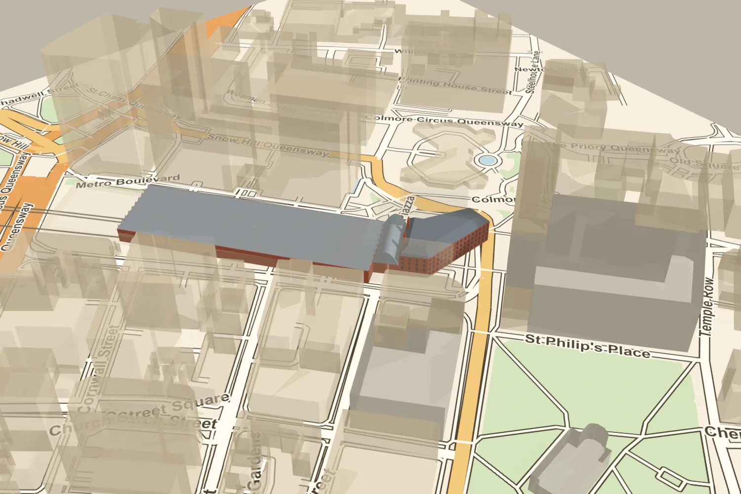 Snow Hill stationThe Great Western Railway’s Snow Hill station, rebuilt in 1906–12 behind its hotel on Colmore Row, closed in 1972 and was demolished by 1977. Today’s smaller station opened on the site in 1987.Turn it in 3D →
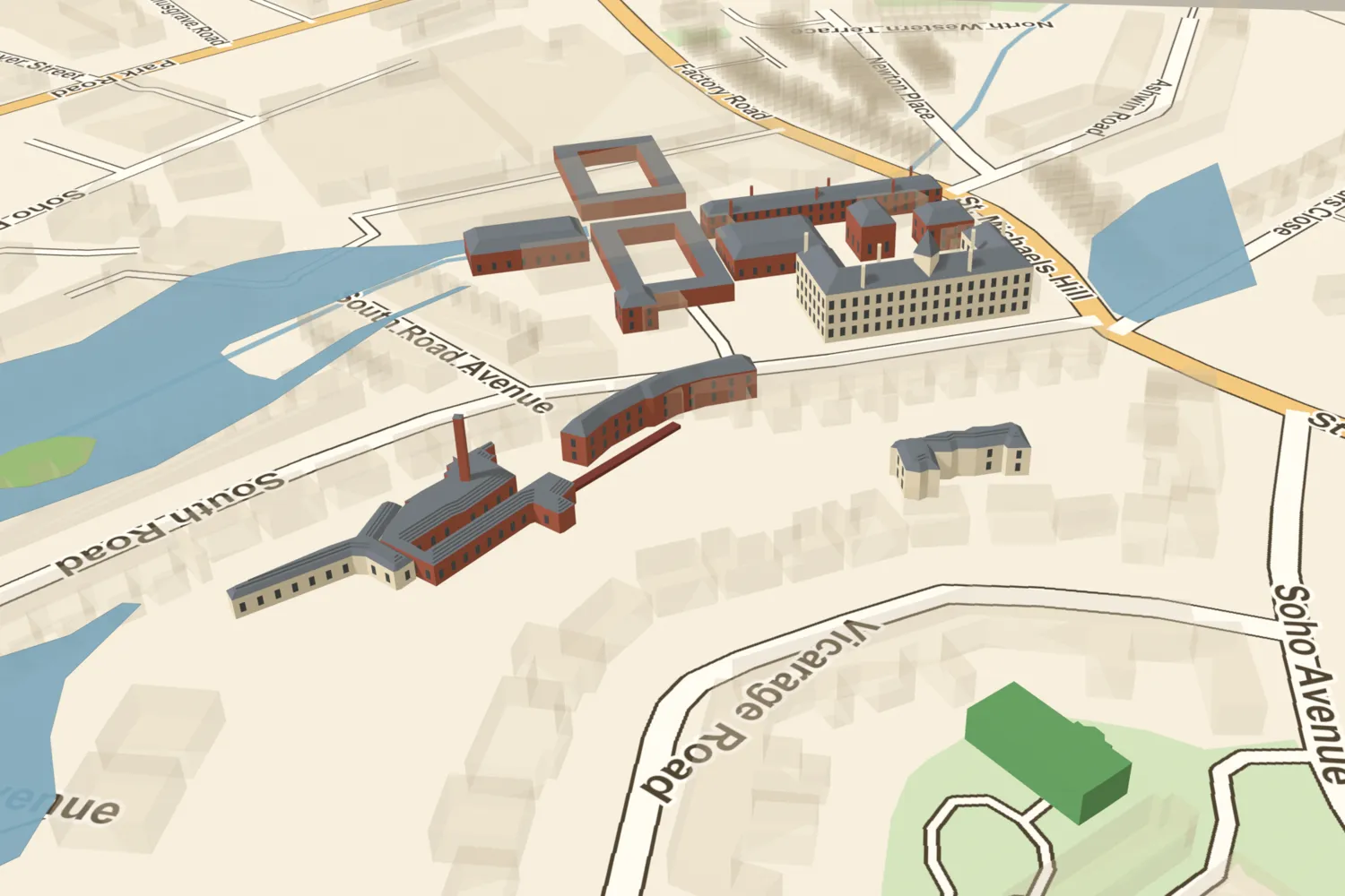 The Soho ManufactoryMatthew Boulton’s Soho works in about 1825: the Palladian Principal Building, the rolling mill and engine yards running down to the Hockley Brook, the Mint and Latchet Building in the gardens, and the pools that powered it all. Nothing survives above ground except Soho House.Turn it in 3D →
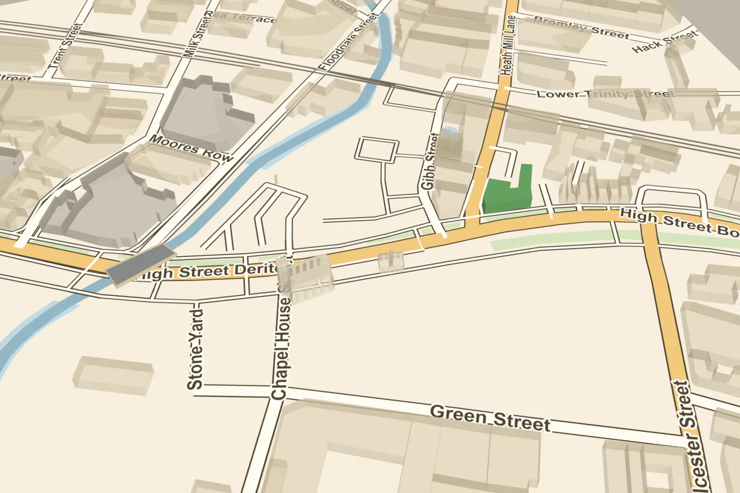 Deritend BridgeThe crossing that made Birmingham a market town: the River Rea was forded and then bridged here for centuries. The river now runs in a culvert under the road.Turn it in 3D →
 Soho House and Boulton’s worksBoulton’s home, which still stands, with the Soho works it overlooked in about 1825.Turn it in 3D →
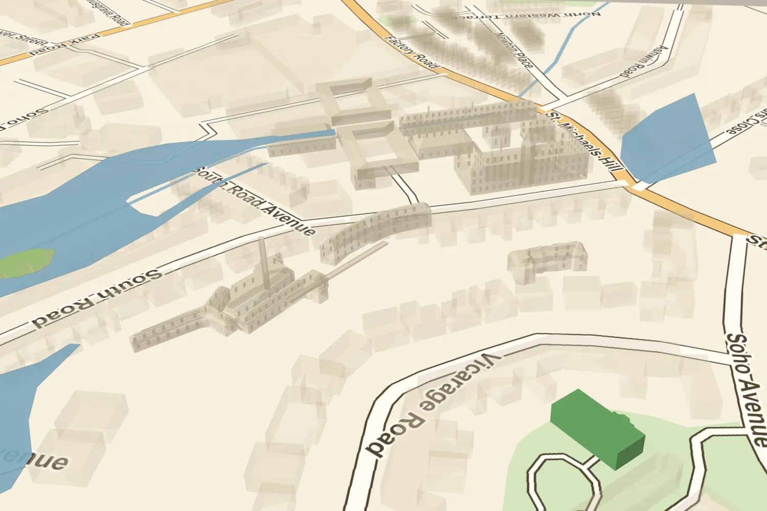 Soho’s pools, among Boulton’s worksThe pools that powered and framed Boulton’s works, all since filled in or drained, as they were in about 1825.Turn it in 3D →
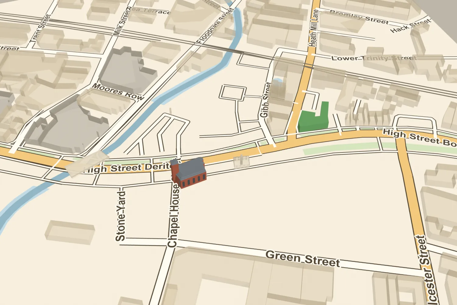 St John’s Chapel, DeritendDeritend’s chapel, founded by 1381 and rebuilt in brick in 1735, made the hamlet a community of its own. It was demolished in 1947.Turn it in 3D →
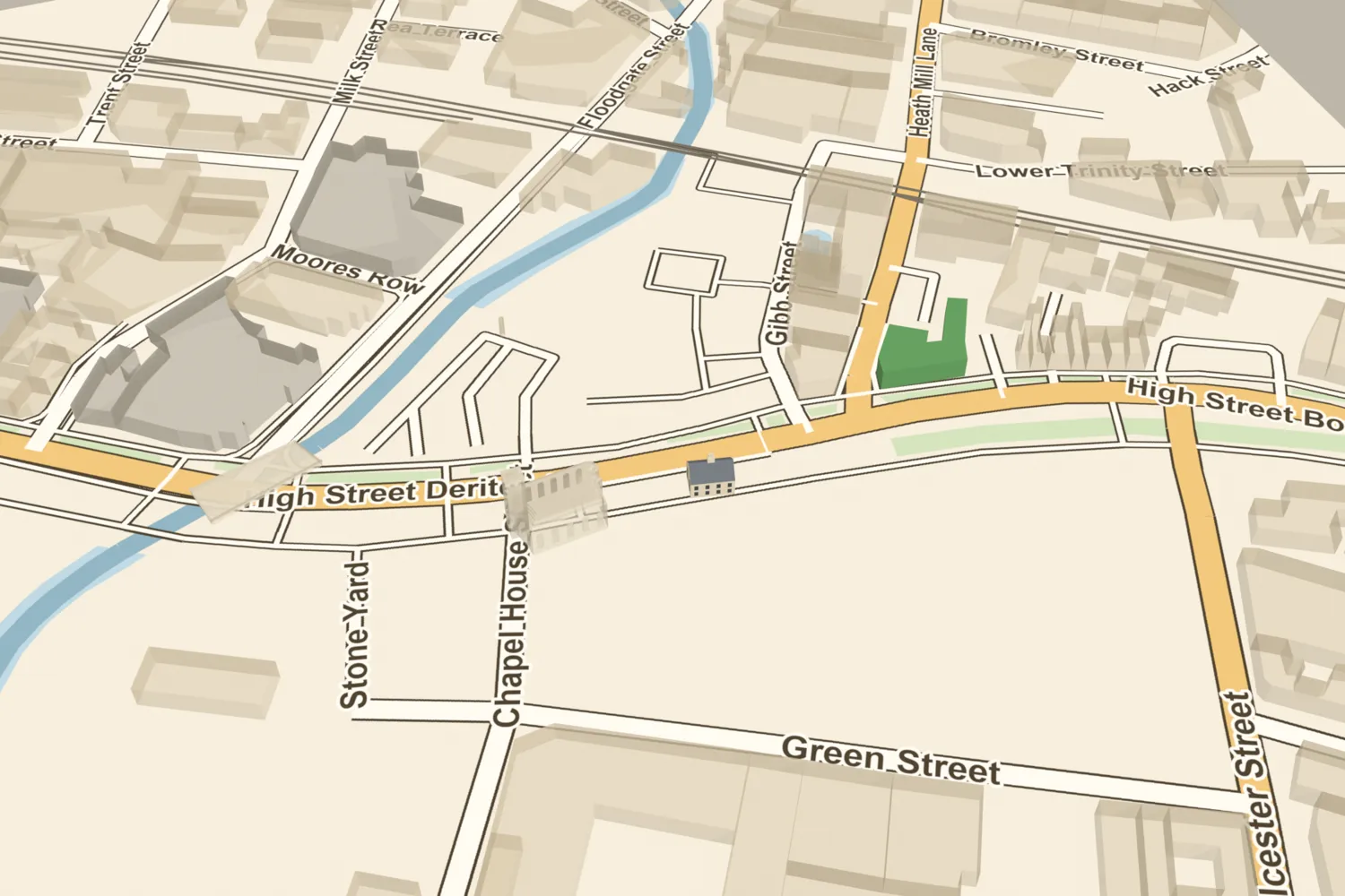 The Golden Lion, DeritendA timber-framed house of about 1600 on Deritend’s high street, later an inn. In 1911 it was taken down and rebuilt in Cannon Hill Park, where it still stands.Turn it in 3D →
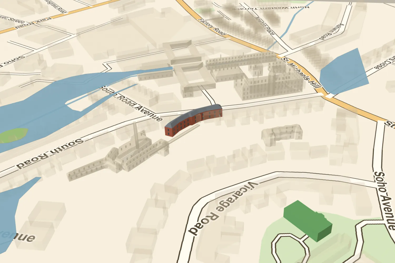 The Latchet Building, among Boulton’s worksThe curved works where shoe-buckle latchets were made, later part of the Mint, among Boulton’s works in about 1825.Turn it in 3D →
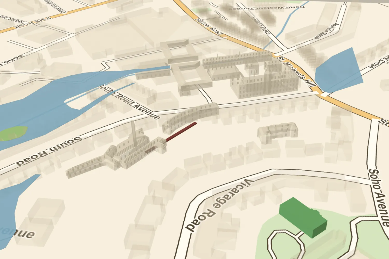 The Mint’s tunnel, among Boulton’s worksThe line of the Mint’s buried drive-shaft tunnel, found by Time Team in 1996, among Boulton’s works in about 1825.Turn it in 3D →
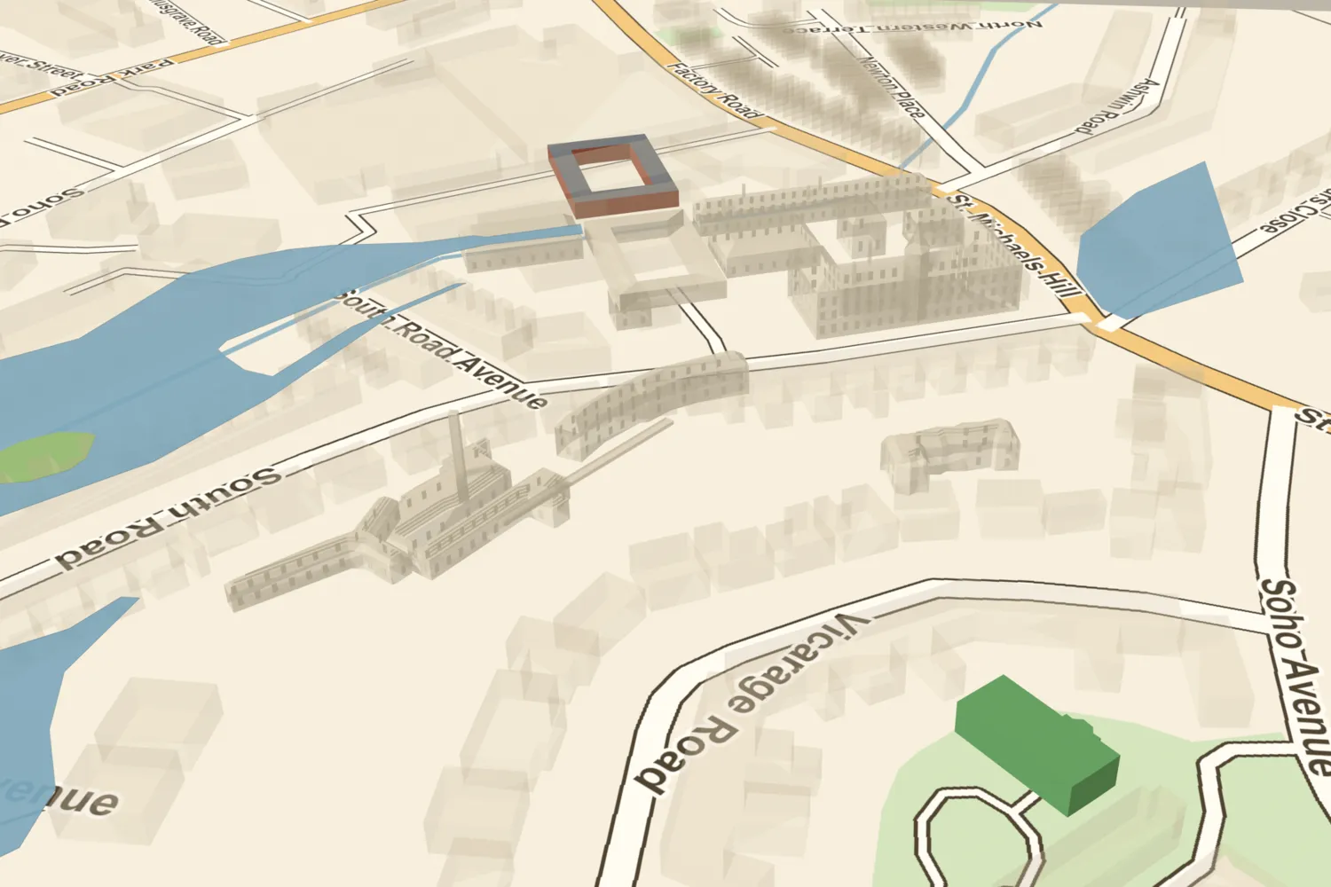 The New Engine Yard, among Boulton’s worksThe fitting shops and forges laid out across the Hockley Brook in 1802–04, among Boulton’s works in about 1825.Turn it in 3D →
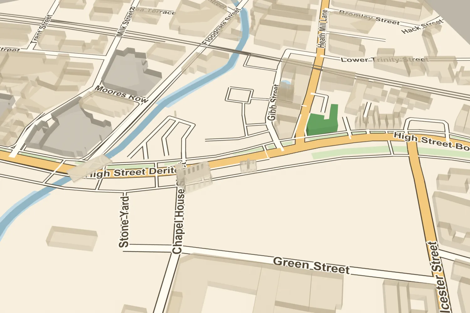 The Old Crown and its lost neighboursThe Old Crown, the oldest secular building in central Birmingham, with its lost neighbours St John’s Chapel and the Golden Lion as they stood in about 1890.Turn it in 3D →
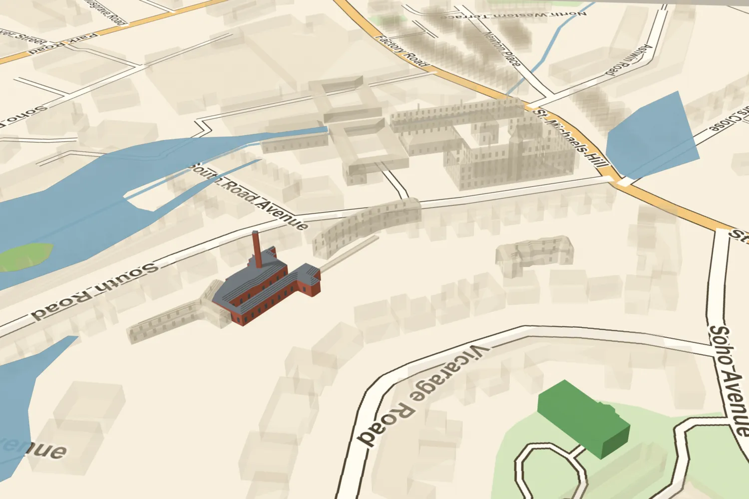 The Soho Mint, among Boulton’s worksThe world’s first steam-powered mint, hidden in the gardens below Soho House, shown among Boulton’s works in about 1825.Turn it in 3D →
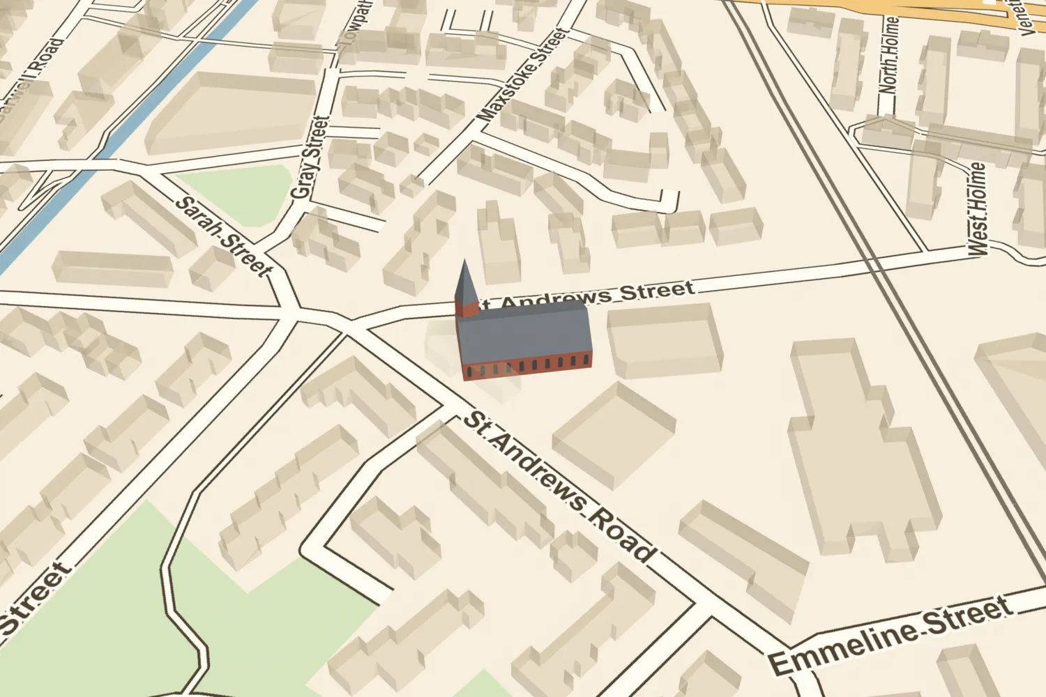 St Andrew’s, BordesleyR. C. Carpenter’s red sandstone church of 1844–46, admired by the Victorian church reformers, served the streets of Bordesley. It lost its spire in a storm in 1894 and was demolished around 1985.Turn it in 3D →
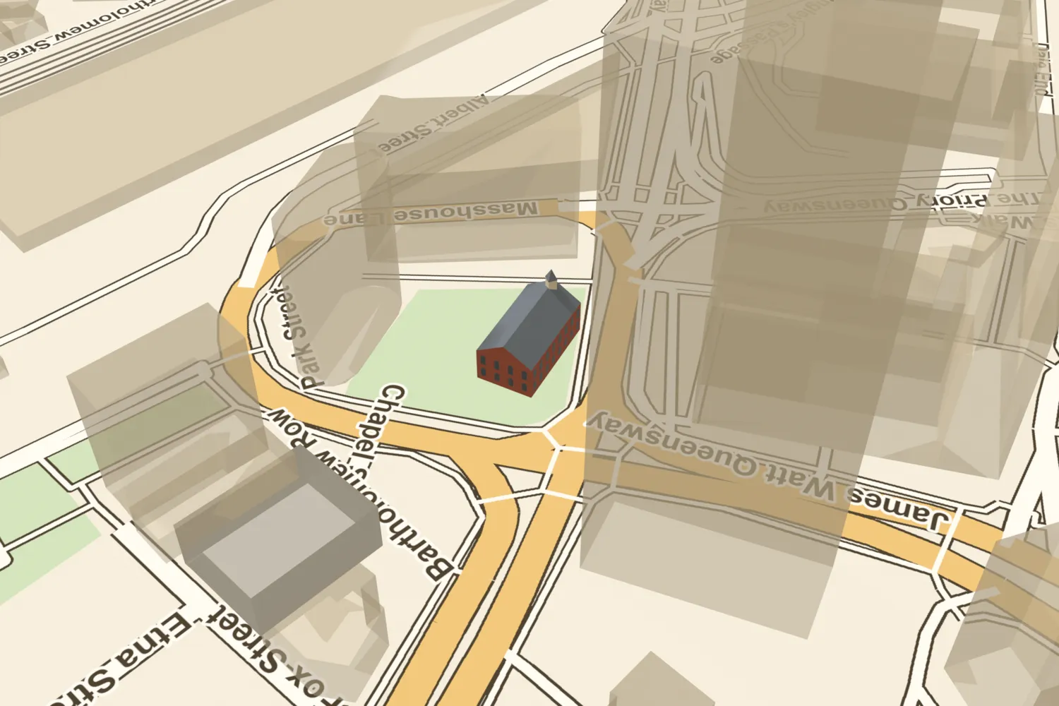 St Bartholomew’s, Masshouse LaneA Georgian brick church of 1749 near Masshouse Lane, built to serve the growing east of the town. It closed in 1937 and was demolished by 1943; its old churchyard is now a small green at Masshouse.Turn it in 3D →
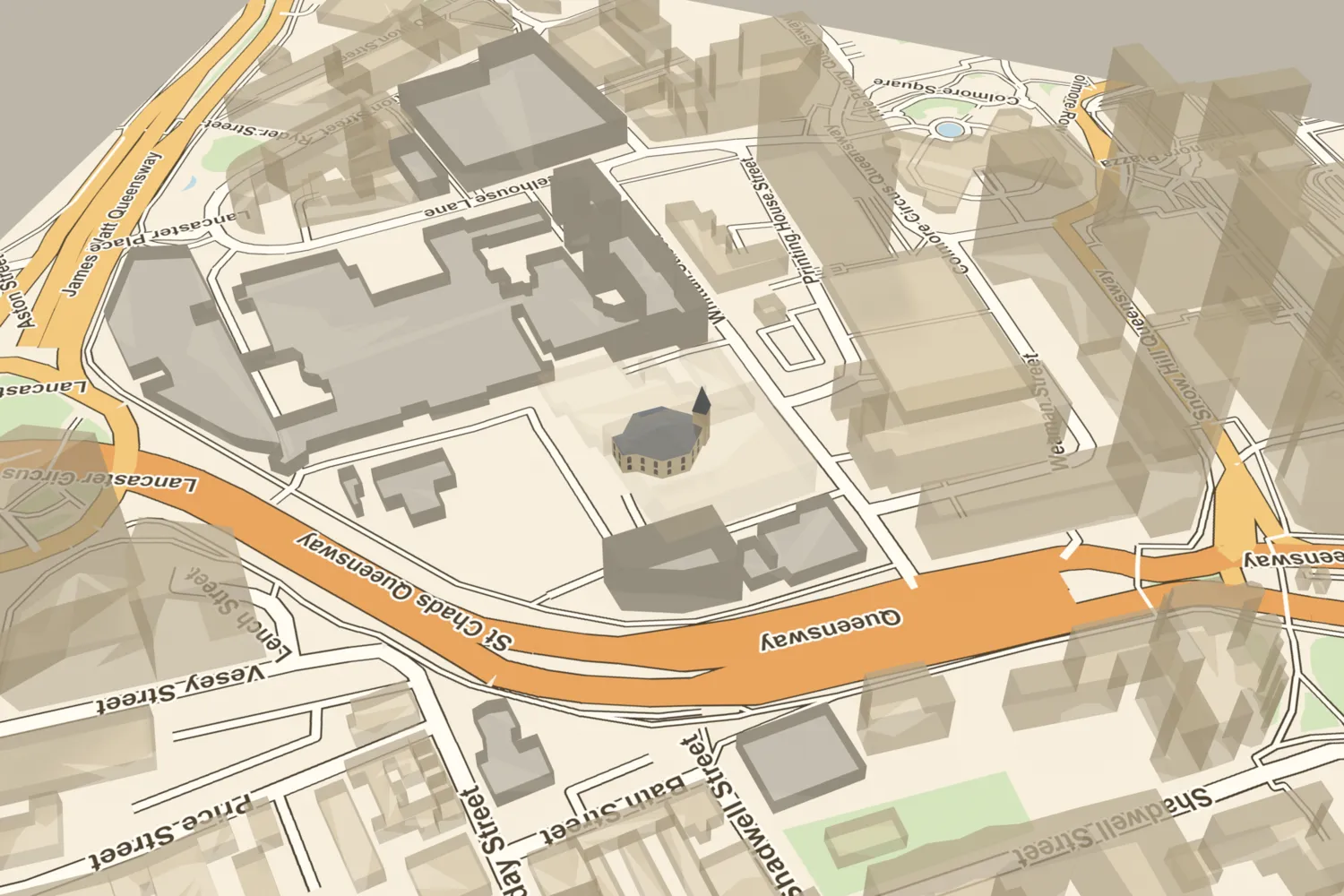 St Mary’s, Whittall StreetJoseph Pickford’s octagonal church of 1774 stood in its own churchyard off Whittall Street, with what Hutton called ‘too little steeple, and too much roof’. It was closed by Act of Parliament in 1925 and demolished.Turn it in 3D →
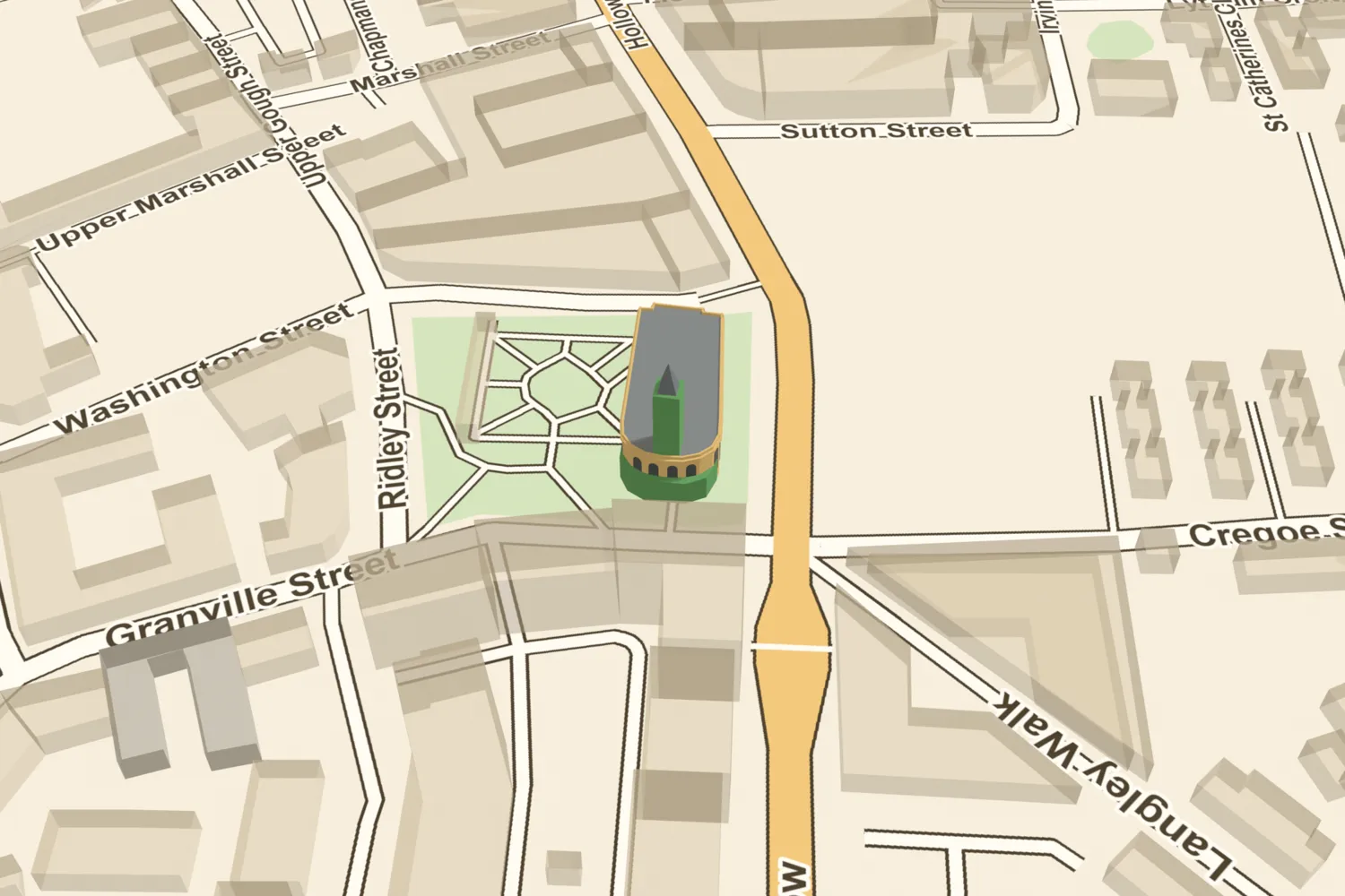 St Thomas’s, Bath RowRickman and Hutchinson’s stone church of 1829 seated more than 2,000. It was bombed in December 1940. Its tower and curved Ionic porticos still stand in St Thomas’s Peace Garden.Turn it in 3D →
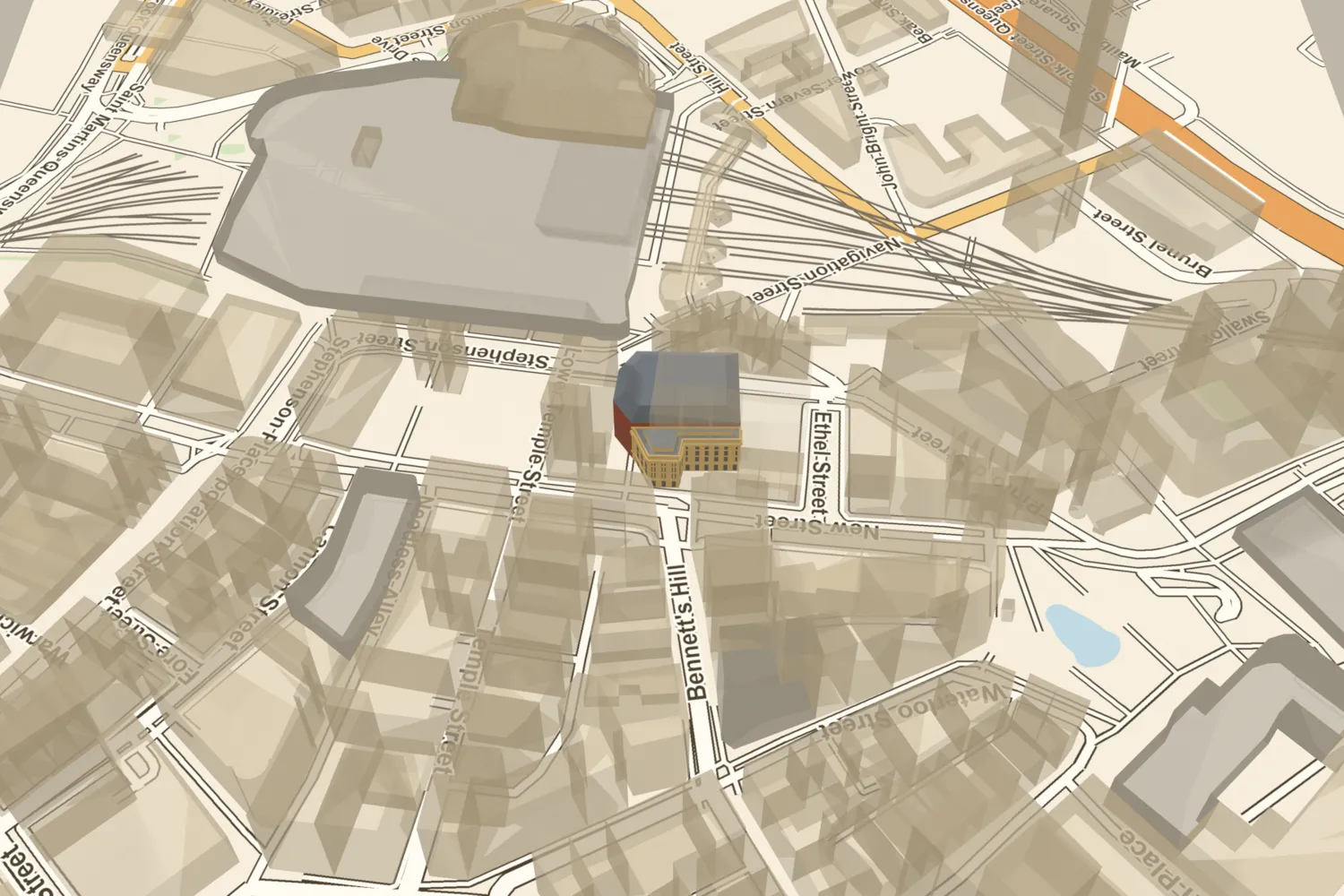 The Theatre RoyalNew Street’s Theatre Royal opened in 1774, was rebuilt several times, given a new five-storey front in 1904 and demolished in 1956.Turn it in 3D →
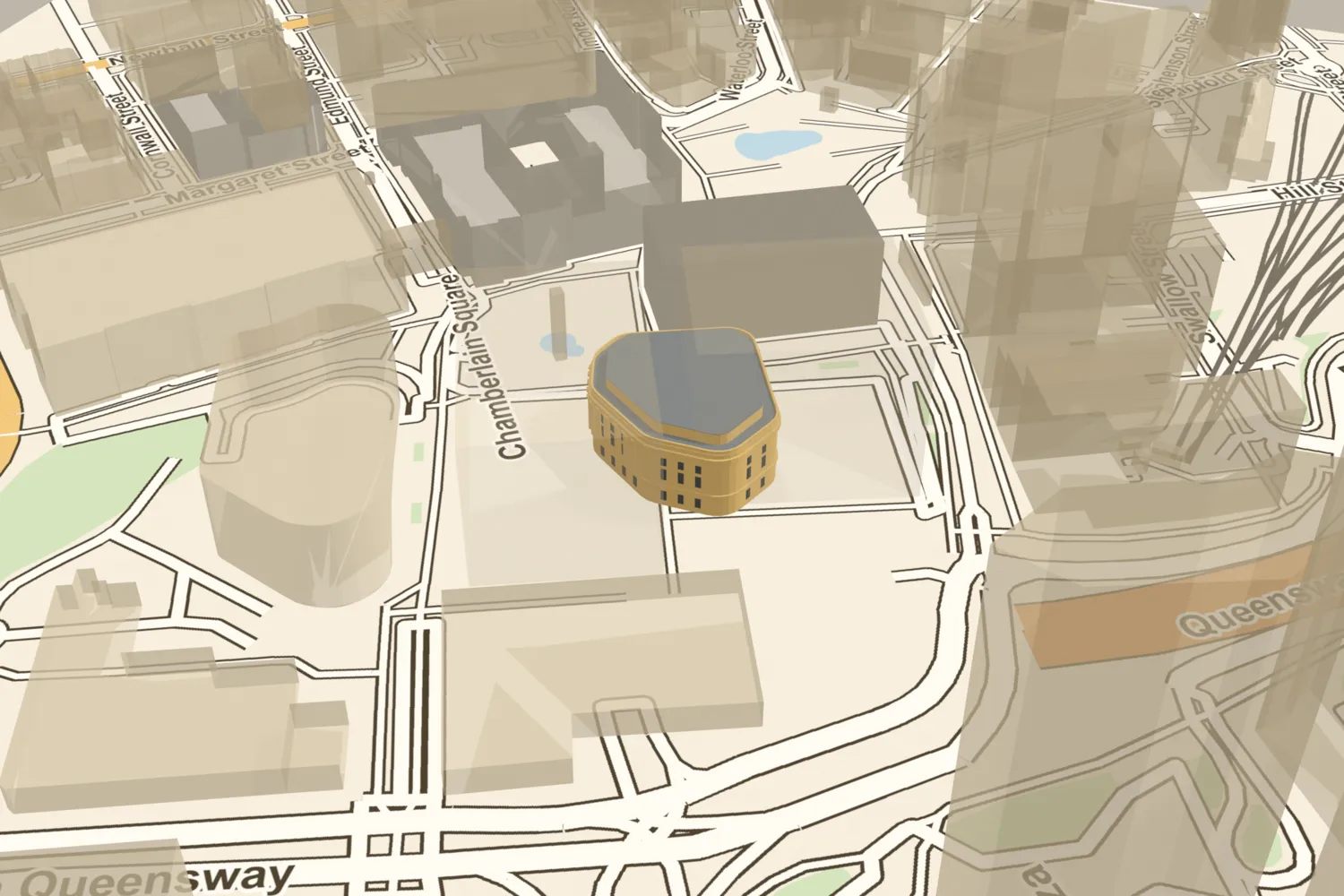 The Victorian Central LibraryBirmingham’s first free Central Library opened in 1865, burned in 1879, reopened in 1882 and was demolished in 1974.Turn it in 3D →
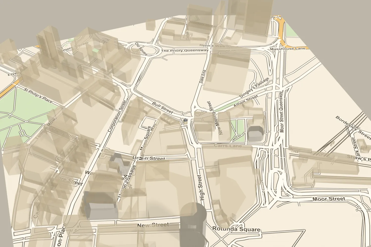 The Welsh CrossThe Welsh Cross stood at the top of the town where Bull Street met Dale End from about 1706, with an open arcade, a room above and a clock turret. The pillory and stocks stood in front. It was taken down in 1803.Turn it in 3D →
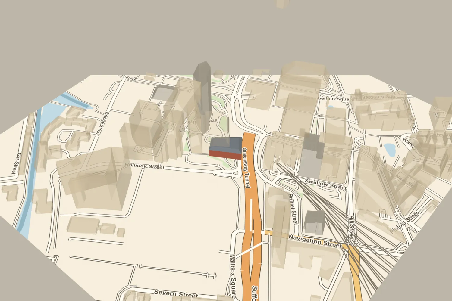 The West End CinemaBuilt in 1865 as the Curzon Hall, the home of the dog and poultry shows, it became the West End Cinema in 1925 and closed in 1967.Turn it in 3D →