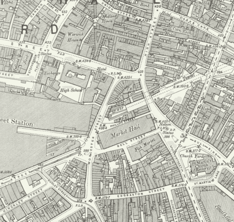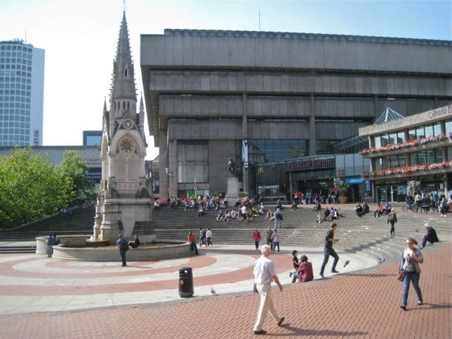
In 1731 William Westley drew a map of Birmingham. It shows a compact town: the green that became the Bull Ring, St Martin’s Church, and a handful of streets running up the sandstone ridge. By 1801 the census counted 73,670 people. The town had not grown outwards so much as filled up.
A Georgian town
The Victoria County History explains why. Much of the land around the old town was tied up by its owners, the Colmores, Phillipses and Inges, under settlements that allowed only short leases. One landlord, Dr Sherlock, refused building leases altogether, because, he said, “his successor, at the expiration of the term, would have the rubbish to carry off”.
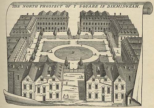
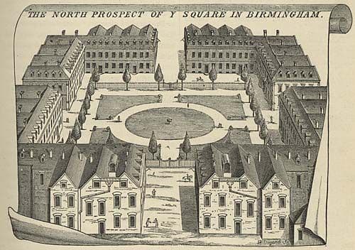
Growth came in jumps, each one unlocked by a private Act of Parliament. The Colmore estate Act of 1746 opened the ridge between Easy Hill and Snow Hill to small manufacturers of buttons, buckles and steel toys. On the old priory land John Pemberton laid out the Square, later Old Square, in about 1713: sixteen near-identical brick houses with pedimented doorways. It was the smartest address in town.
Courts and back-to-backs
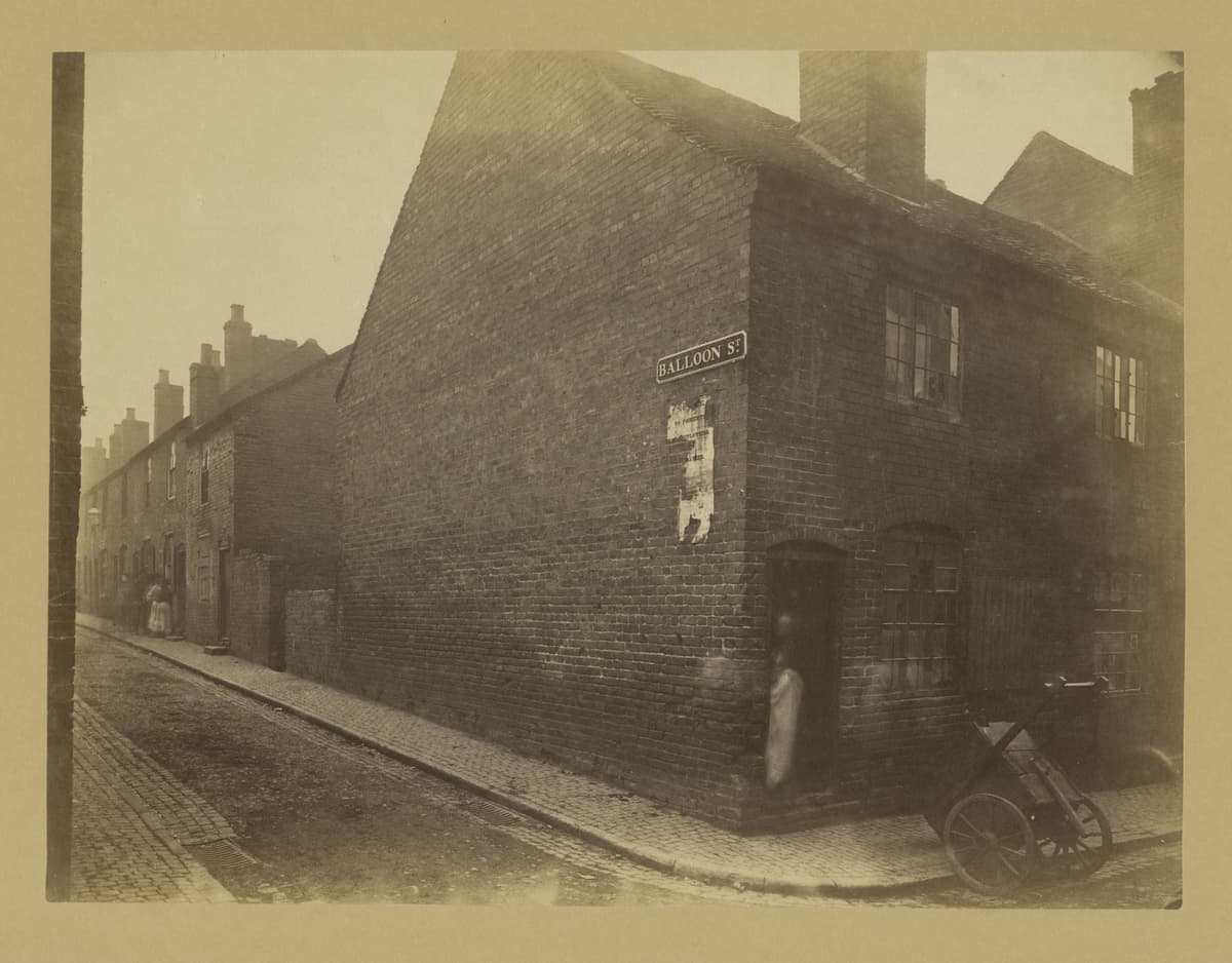
Behind the street fronts, the town packed itself in. Because the old burgage plots were long and narrow, new houses went up on the “backsides”, reached through covered entries into courts. At Anderton Square, off Whittall Street, built about 1776, each house had a cellar and three rooms stacked one above another, with the privies in a corner of the yard. A report to the General Board of Health in 1849 found many courts “closely-built, narrow and ill-ventilated”.
The railways began the clearing. In the 1850s, says the VCH, “buildings were cleared to construct the two central stations at New Street and Snow Hill”, displacing a large part of the central population. Birmingham, incorporated as a borough by charter on 31 October 1838, was now a big, unhealthy industrial town with a weak council.
Chamberlain’s three years
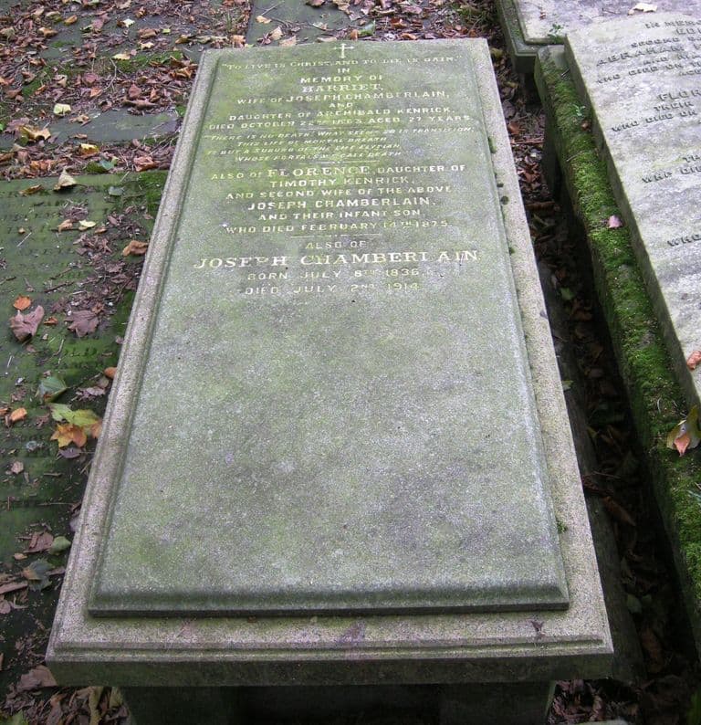
That changed in November 1873, when Joseph Chamberlain, a wealthy screw manufacturer, became mayor. On 13 January 1874 the council voted by 54 to 2 to buy the two private gas companies. Chamberlain then went after the waterworks. On 4 December 1874 he told the council that magistrates hated convicting poor people for stealing water: “They might almost as well be convicted for stealing air.” An Act of 1875 transferred the works to the corporation.
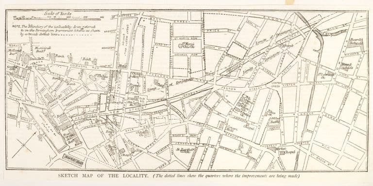
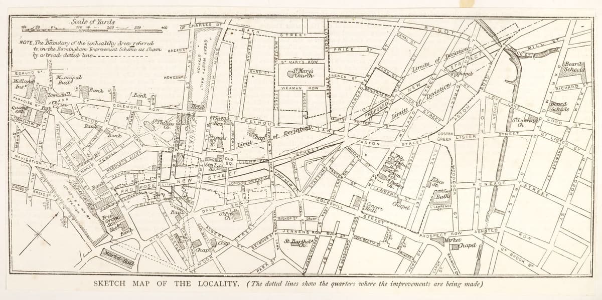
Then came the boldest plan. In 1875 the Artisans’ Dwellings Act, piloted through Parliament by the Home Secretary, Richard Cross, let councils buy and clear unhealthy districts. Chamberlain opened his “grand design” to the council at the end of July 1875. On 12 October he asked them to show “a sagacious audacity”. They adopted it. The powers were confirmed in August 1876.
Corporation Street
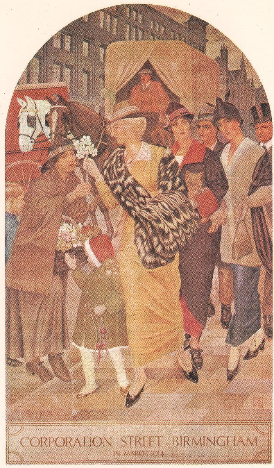
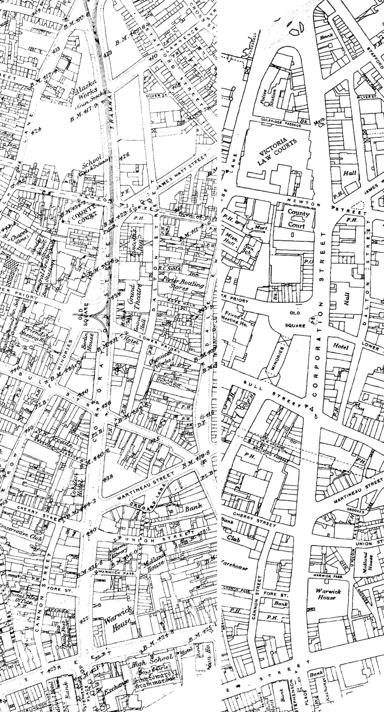
The scheme took in 93 acres of St Mary’s and Market Hall wards, which the VCH calls “the worst district in the town”. Through the middle went a new street, twenty-two yards wide, which Chamberlain liked to call a “boulevard”. The first part of Corporation Street opened in 1879. In 1882 Old Square, the Georgian showpiece, was largely destroyed to make way for it.
The public-health results were real. In nine streets in the area the death rate fell from 53.2 per thousand in 1873–75 to 21.3 in 1879–81. Chamberlain, writing to his friend Jesse Collings on 6 June 1876 as he left for Parliament, could boast that the town would be “parked, paved, assized, marketed, Gas-and-Watered and improved”.
Who paid
The people who lived there paid most. The corporation’s official history records that by June 1885 only 62 houses had been rebuilt, while 653 had been pulled down or closed. An inquiry in 1884 decided there was no shortage of cheap houses, so plans for council housing were shelved. Only in 1889–91 did the corporation build cottages in Ryder Street and Lawrence Street, at rents the historian Chris Upton says were “well beyond the pocket of most of those who had formerly lived in the area”. His verdict: “Chamberlain had in truth engineered a commercial quarter under the umbrella of a housing act.” *The Dart*, a hostile Liberal weekly, put it more sharply, mocking a plan to lower the death rate by making sure “no person” was left living there.
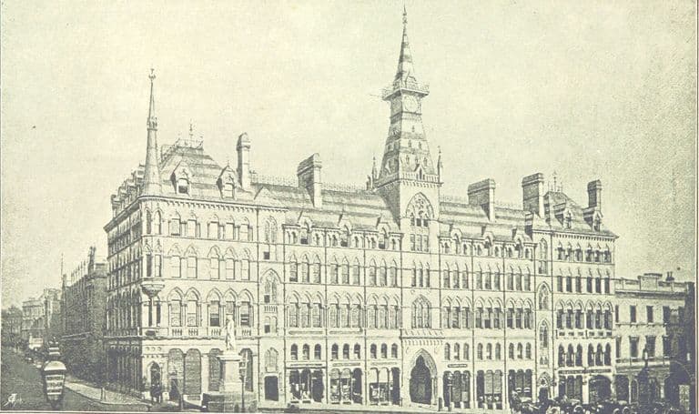
Even the boulevard fell short. Upton notes that the slump of the early 1880s stopped the shops and offices halfway; the lower end filled with public buildings instead. The finest is the Victoria Law Courts, won in competition by Aston Webb and Ingress Bell. Queen Victoria laid the foundation stone on 23 March 1887 and it opened in 1891, in red brick and terracotta. It is listed Grade I.
The city
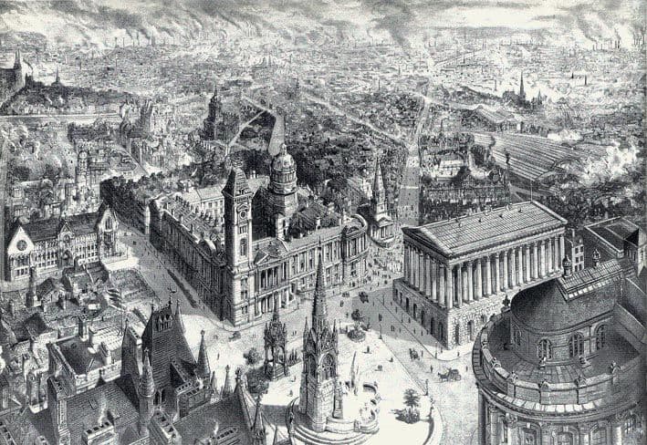
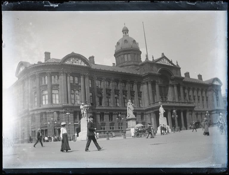
On 14 January 1889 Letters Patent made Birmingham a city. Above Victoria Square rose Yeoville Thomason’s Council House of 1874–79 and the Museum and Art Gallery behind it. When Joseph Southall painted Corporation Street in March 1914, it looked as though it had always been there.
It had not. Every Victorian street in the centre was cut through somebody’s home, and the men who did it said so openly. That is the pattern the rest of Birmingham’s story follows: a council confident enough to remake its own town, and a city that has argued ever since about what that cost.
On the map
20 places connected with Victorian Birmingham: the town remade. Tap a number for directions — some sites are private homes or gardens, so each place’s page says what you can see from the street.

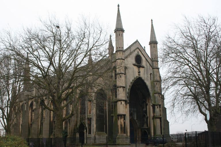
- Holy Trinity Church, Camp Hill — Surviving · Directions to Holy Trinity Church, Camp Hill (opens Google Maps)
- St Andrew’s Church, Bordesley — Lost, Site redeveloped · Directions to St Andrew’s Church, Bordesley (opens Google Maps)
- Holder’s Concert Hall and the Gaiety, Coleshill Street — Lost, Site redeveloped · Directions to Holder’s Concert Hall and the Gaiety, Coleshill Street (opens Google Maps)
- Grand Theatre, Corporation Street — Lost, Site redeveloped · Directions to Grand Theatre, Corporation Street (opens Google Maps)
- Smithfield Market — Lost, Site redeveloped · Directions to Smithfield Market (opens Google Maps)
- The Exchange, Stephenson Place — Lost, Site redeveloped · Directions to The Exchange, Stephenson Place (opens Google Maps)
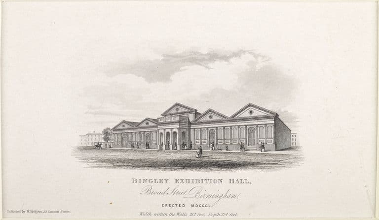
- Bingley Hall — Lost, Site redeveloped · Directions to Bingley Hall (opens Google Maps)
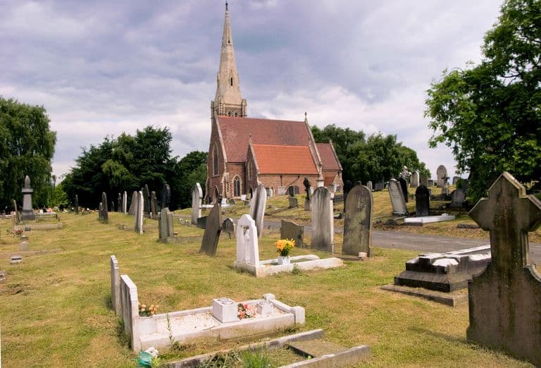
- Witton Cemetery — Surviving, Surviving but altered · Directions to Witton Cemetery (opens Google Maps)
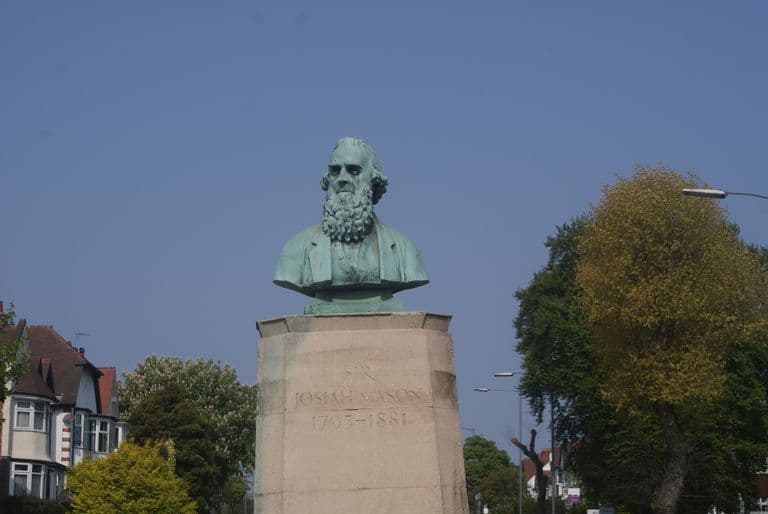
- Bust of Sir Josiah Mason, Chester Road, Erdington — Surviving, Relocated · Directions to Bust of Sir Josiah Mason, Chester Road, Erdington (opens Google Maps)
- Josiah Mason’s Almshouses, Erdington — Lost · Directions to Josiah Mason’s Almshouses, Erdington (opens Google Maps)
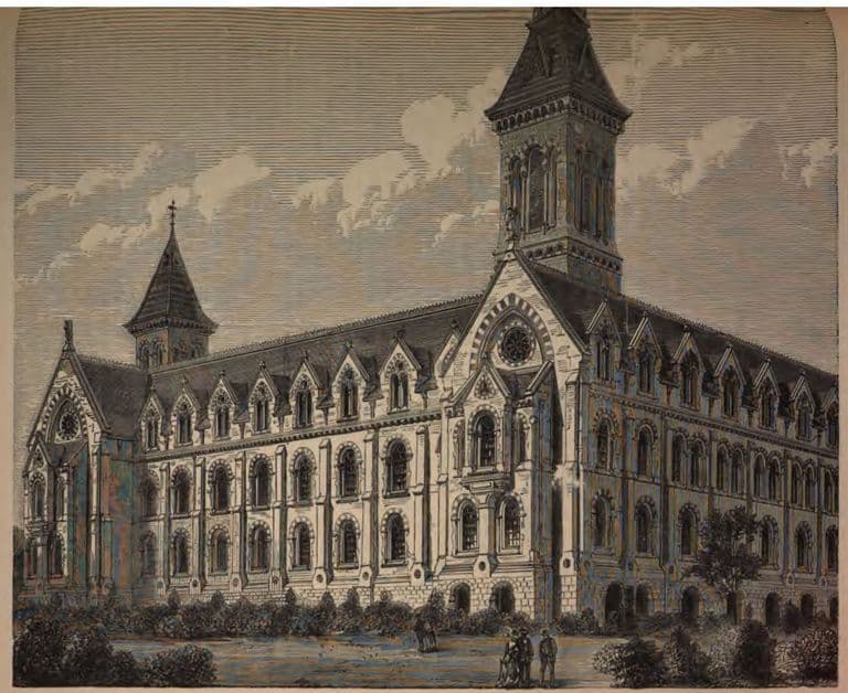
- Josiah Mason’s Orphanage, Erdington — Lost, Site redeveloped · Directions to Josiah Mason’s Orphanage, Erdington (opens Google Maps)
- Old Square — Lost, Site redeveloped · Directions to Old Square (opens Google Maps)
- The Victorian Central Library, Ratcliff Place — Lost, Site redeveloped · Directions to The Victorian Central Library, Ratcliff Place (opens Google Maps)
- Birmingham and Midland Institute, Paradise Street — Lost, Site redeveloped · Directions to Birmingham and Midland Institute, Paradise Street (opens Google Maps)
- Mason Science College, Edmund Street — Lost, Site redeveloped · Directions to Mason Science College, Edmund Street (opens Google Maps)
- Old Joe and the Aston Webb buildings, University of Birmingham — Surviving · Directions to Old Joe and the Aston Webb buildings, University of Birmingham (opens Google Maps)
- Key Hill Cemetery — Surviving, Surviving but altered · Directions to Key Hill Cemetery (opens Google Maps)
- Corporation Street — Surviving, Surviving but altered
- The Council House, Victoria Square — Surviving · Directions to The Council House, Victoria Square (opens Google Maps)
- The Chamberlain Memorial — Surviving, Surviving but altered · Directions to The Chamberlain Memorial (opens Google Maps)
Key dates
- 23 May 1836 — Key Hill Cemetery opensThe Birmingham General Cemetery opens on Key Hill, laid out by Charles Edge for burials of all denominations: the first cemetery in Birmingham not attached to a church.
- 1858 — Mason’s almshouses and orphan home open in ErdingtonJosiah Mason built almshouses for aged women and a home for orphan girls on the corner of the Sutton road and Sheep Street (now Station Road), Erdington: the first of his great charities.
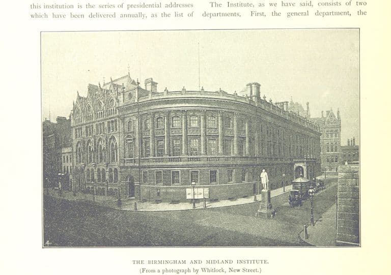
- 1858 — The Midland Institute opens in Paradise StreetE. M. Barry’s building for the Birmingham and Midland Institute opens at the corner of Paradise Street and Ratcliff Place, beside the Town Hall.
- 1868 (trust deed 29 July 1868) — Josiah Mason’s Orphanage opens in ErdingtonMason’s great orphanage on Bell Lane, begun in 1860, took in its first children, and on 29 July 1868 he handed it to trustees with land worth about £200,000. It was paid for and endowed entirely by him.
- November 1873 — Joseph Chamberlain becomes mayorJoseph Chamberlain is elected Mayor of Birmingham. In under three years the council takes over gas and water and launches the Improvement Scheme. He resigns in June 1876 on entering Parliament.
- 17 June 1874 — Chamberlain lays the Council House foundation stoneMayor Joseph Chamberlain lays the foundation stone of Yeoville Thomason’s Council House. The council first meets there in 1878.
- 23 February 1875 — Mason lays the first stone of his science collegeOn his 80th birthday Josiah Mason laid the first stone of his science college in Edmund Street, founded to teach science for the manufactures of the Midlands. It opened in 1880.
- 1875 — Gas and water come into public handsUnder Mayor Chamberlain the corporation takes over Birmingham’s two private gas companies and, by an Act of 1875, the waterworks.
- 12 October 1875 — Council adopts Chamberlain’s Improvement SchemeUsing the new Artisans’ Dwellings Act, the council adopts Mayor Joseph Chamberlain’s scheme to buy and clear 93 acres of the worst streets in the town centre and drive a new street through them. Chamberlain asks the council for “a sagacious audacity”.
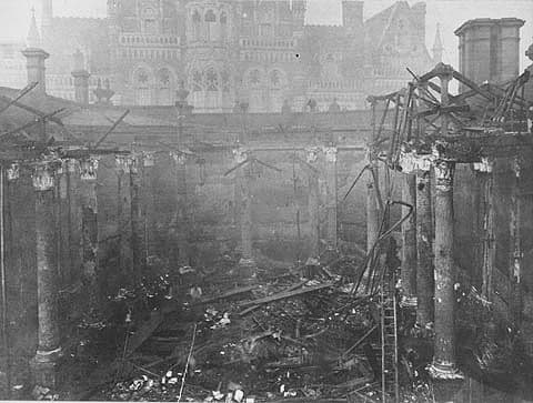
- January 1879 — Central Library burnsFire guts Birmingham’s Central Library in Ratcliff Place. It is rebuilt on the same site, with Martin and Chamberlain’s reference library, and reopens in 1882.
- 1879 — First part of Corporation Street opensThe first part of Corporation Street, the centrepiece of the Improvement Scheme, opens. The Victoria County History calls its building the most extensive destruction of old buildings of the period.
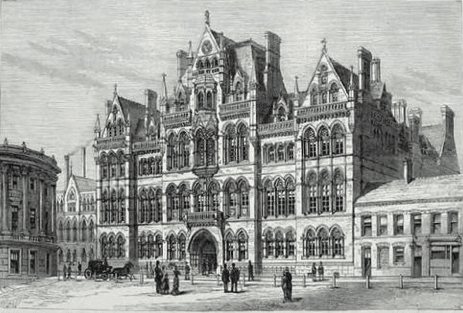
- 1880 — Mason Science College opensJosiah Mason’s science college opens in Edmund Street, in a Gothic building by J. A. Cossins. In 1900 it becomes part of the University of Birmingham.
- 20 October 1880 — The Chamberlain Memorial is inauguratedJ. H. Chamberlain’s Gothic memorial fountain, paid for by public subscription to thank Joseph Chamberlain for his mayoralty, is inaugurated with Chamberlain present.
- 1882 — Old Square largely destroyedOld Square, laid out in about 1713 with sixteen near-identical brick houses, is largely destroyed for Corporation Street. Panelling from No. 1 survives at Aston Hall.
- 23 March 1887 — Queen Victoria lays the Law Courts foundation stoneQueen Victoria lays the foundation stone of the Victoria Law Courts on Corporation Street, designed by Aston Webb and Ingress Bell. They open in July 1891.
- 14 January 1889 — Birmingham becomes a cityLetters Patent give Birmingham the title of city, fifty years after its incorporation as a borough in October 1838.
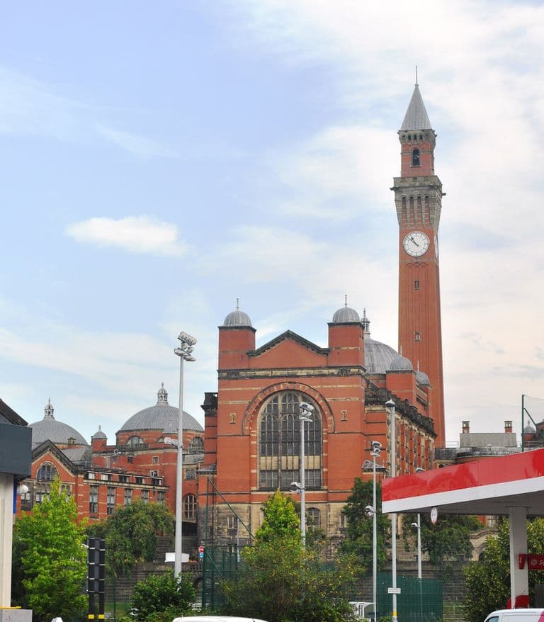
- 24 March 1900 — Mason’s college becomes the University of BirminghamMason University College, as Mason’s college had become in 1898, was turned into the University of Birmingham by royal charter, after a campaign led by Joseph Chamberlain.
- Autumn 1933 — J. B. Priestley visits BirminghamOn his first visit, the writer J. B. Priestley finds the approach “a dirty muddle”, admires Colmore Row’s “metropolitan air” and rides a tram through “a parade of mean dinginess”. His account appears in English Journey (1934).
- February 1958 — The Victorian Society is foundedJohn Betjeman, Nikolaus Pevsner and others found the Victorian Society to protect Victorian and Edwardian architecture, just as Birmingham’s rebuilding gathers pace.
Sources and further reading
- A History of the County of Warwick, vol. 7: The City of Birmingham — The Growth of the City, pp. 4–25 — W. B. Stephens (ed.), Victoria County History, 1964
- A History of the County of Warwick, vol. 7: The City of Birmingham — Secular Architecture, pp. 43–57 — W. B. Stephens (ed.), Victoria County History, 1964
- A History of the County of Warwick, vol. 7: The City of Birmingham — Local Government and Public Services, pp. 318–353 — W. B. Stephens (ed.), Victoria County History, 1964
- The Life of Joseph Chamberlain, vol. 1: 1836–1885 — J. L. Garvin, Macmillan, 1932. ch. XI, pp. 187–205
- History of the Corporation of Birmingham, vol. III (1885–1899) — C. A. Vince, Corporation of Birmingham, 1902. chs X, XVI, XIX
- Slum Clearance and the Building of Corporation Street — Chris Upton, History West Midlands
- Victoria Law Courts, Corporation Street — National Heritage List for England entry 1075605 — Historic England
- Council House, City Museum and Art Gallery and Council House extension — National Heritage List for England entry 1210333 — Historic England