
What was here?
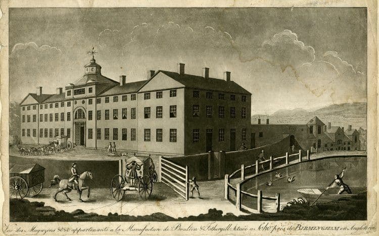
A handsome three-storey brick warehouse on the corner of Livery Street and Lionel Street, built in 1787–88 to Samuel Wyatt’s design as Matthew Boulton’s Birmingham base. It stood for more than 160 years.
History
Poor houses, poor streets
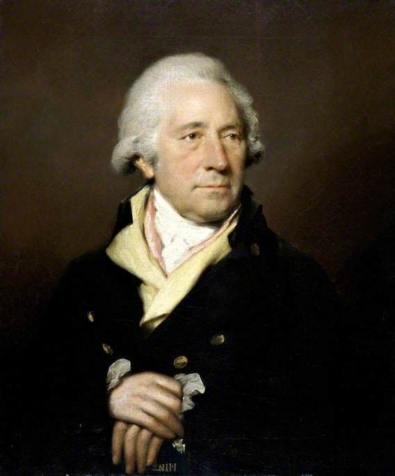
In May 1787, with New Hall about to be pulled down, Matthew Boulton chose a new site for his town warehouse. It was on Livery Street, near the canal, but not in a smart quarter. He described it, in a letter now in the Archives of Soho, as “amongst a number of poor houses, in poor streets”.
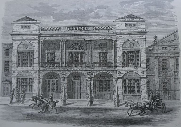
He did not intend the building to look poor. He had first planned something quick, but while his stock waited in temporary rooms in Upper Priory he commissioned Samuel Wyatt to design something better. Wyatt came from a large Staffordshire family of architects and builders with a long association with Boulton. He had already designed the front of the Theatre Royal in New Street, and he later completed the remodelling of Soho House. Val Loggie notes how much Boulton cared about frontages; a 1970 study by Tann suggested that he saw a handsome building as a way to draw visitors who might become customers.
On the corner
The warehouse was ready in 1788, and Pye’s directory of 1791 lists Boulton at Livery Street. The Victoria County History places it “at the junction of Lionel Street and Livery Street”. The Ordnance Survey plan of 1888 marks the western corner block simply “Warehouse”, with the Birmingham and Fazeley Canal close behind.
The same spot, then and now
1888–1913
Today
Old map: Ordnance Survey six-inch, reproduced with the permission of the National Library of Scotland (CC BY 4.0). Today: © OpenStreetMap contributors.
A photograph of 1932, held by the Library of Birmingham, shows what Wyatt built. It is a three-storey brick corner building, with a long front of about seven bays and a pedimented doorcase, and a shorter return front with round-headed openings. By then it was known as “Boulton’s House”, and the name of its occupier, Louis Goldberg Limited, was painted across the front.
Bombs and demolition
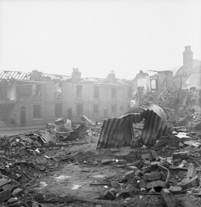
The building survived the 19th century, the coming of the railway next door and the growth of the Jewellery Quarter around it. It did not survive the Second World War intact. According to the Victoria County History, it was damaged by bombs and demolished in 1950.
Queensway House now stands on the site. For 160 years Boulton’s warehouse stood on the corner he had picked among the poor houses, the town address of the Soho works.
What happened here?
Matthew Boulton’s Birmingham warehouse and showroom for his Soho goods from 1788. Later used by other firms, including Louis Goldberg Ltd in 1932.
Why it mattered
It was Boulton’s purpose-built town warehouse, designed by Samuel Wyatt, and a sign of how much he cared about the look of his business.
Why it disappeared
Wartime destruction · Redevelopment
The building was damaged by bombs in the Second World War and demolished in 1950.
What’s there now
What replaced it
Queensway House, 57 Livery Street.
What survives
Nothing of the building. A 1932 photograph survives in the Library of Birmingham.
Today
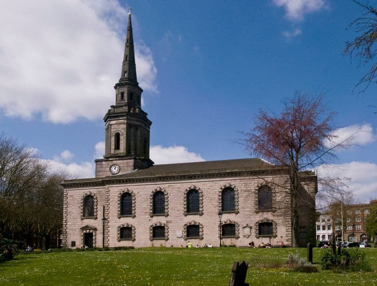
Stand at the crossing of Livery Street and Lionel Street, between Snow Hill station and the Jewellery Quarter. Queensway House, on the western corner, covers the site. St Paul’s Church, where Boulton is said to have kept a pew, is a few minutes’ walk up the hill.
Sources and further reading
Which corner: the Victoria County History says only ‘the junction of Lionel Street and Livery Street’. The 1888 Ordnance Survey plan labels the western corner block ‘Warehouse’, while the other corners were a printing works, a brass foundry and the railway, so the pin is on the western corner. B. Walker’s 1932 article in the Transactions of the Birmingham Archaeological Society, which illustrates the building, has not been read. The description of the building comes from the 1932 photograph.
- A History of the County of Warwick, vol. 7: The City of Birmingham — Secular Architecture, pp. 43–57 — W. B. Stephens (ed.), Victoria County History, 1964. pp. 43–57
- Soho Depicted: prints, drawings and watercolours of Matthew Boulton, his manufactory and estate, 1760–1809 (PhD thesis) — V. A. Loggie, University of Birmingham, 2011. pp. 45–46 and nn. 184–187; appendix (Samuel Wyatt)
- Jewellery Quarter Conservation Area Character Appraisal and Management Plan — Birmingham City Council (Donald Insall Associates), 2002. p. 10
- Boulton’s house, Livery Street, Birmingham (photograph, 1932) — Library of Birmingham, Brum Photo Archive, 1932. Ref. Brum Photo Archive 00887
- Ordnance Survey 1:500 town plan of Birmingham, 1887–88, georeferenced — National Library of Scotland, 1888. Livery Street / Lionel Street
- Plan of the Borough of Birmingham (Pigott Smith), 1855 — J. Pigott Smith, National Library of Scotland (online), 1855
Archive references: Library of Birmingham MS 3782/12/6/83 (Matthew Boulton to —, 12 May 1787); Library of Birmingham Brum Photo Archive image 00887, ‘Boulton’s house, Livery Street’, 1932
Comments
Comments will load here.