
What was here?
New Hall, a large house built by the Colmore family by 1620, at the end of a carriage drive that later became Newhall Street. By the 1770s it was partly used as Matthew Boulton’s town warehouse, where his Soho goods were stored and sold.
History
The house at the end of the drive
In the early 17th century the Colmore family built a mansion on their land north-west of the town. By 1620, the city council’s Jewellery Quarter appraisal says, “the substantial mansion house which gave its name to the estate” was standing. A carriage drive ran up to it from New Hall Lane, today’s Colmore Row.
In the 18th century the town crept towards it. After Colmore’s private Act of 1747 the land along the old drive was developed, and the drive itself became a street: Newhall Street. But the house still stood across the top of it, blocking the way.
Boulton moves in
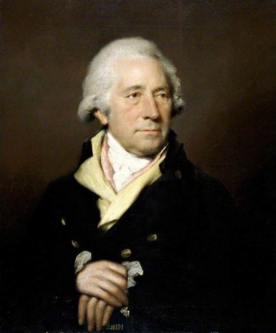
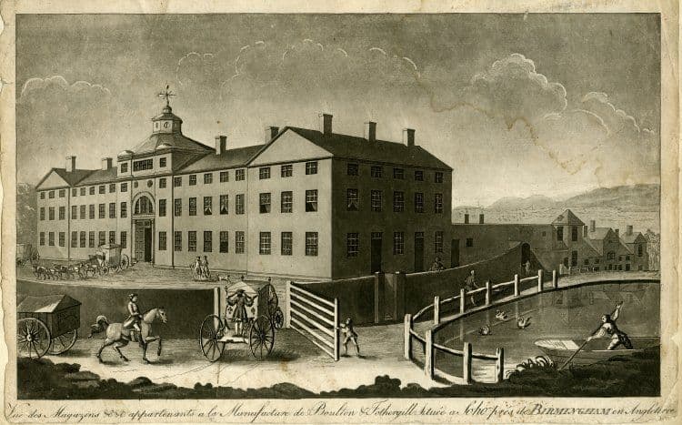
That was where Matthew Boulton kept his town warehouse. The appraisal says that “from the early 1770s the premises had been in partial occupation as a warehouse by Matthew Boulton”. Other research has the warehouse moving here from Snow Hill in 1777. Pye’s directory of 1785 lists Boulton’s warehouse “at Newhall”.
Hanson’s plan of Birmingham, published in 1778, shows the house in outline, cross-shaped, standing on the line of Newhall Street between Great Charles Street and Lionel Street. Val Loggie calls it “the Jacobean former home of the Colmore family”.
Pulled down
The estate wanted the street finished. Boulton, the appraisal says, “resisted its demolition”, but he lost. New Hall came down in 1787. A letter he wrote on 12 May that year, now in the Archives of Soho, deals with the move. Its barn was left standing, probably until his new warehouse in Livery Street was ready in 1788. In the meantime he moved his stock to temporary rooms in Upper Priory.
The same spot, then and now
1888–1913
Today
Old map: Ordnance Survey six-inch, reproduced with the permission of the National Library of Scotland (CC BY 4.0). Today: © OpenStreetMap contributors.
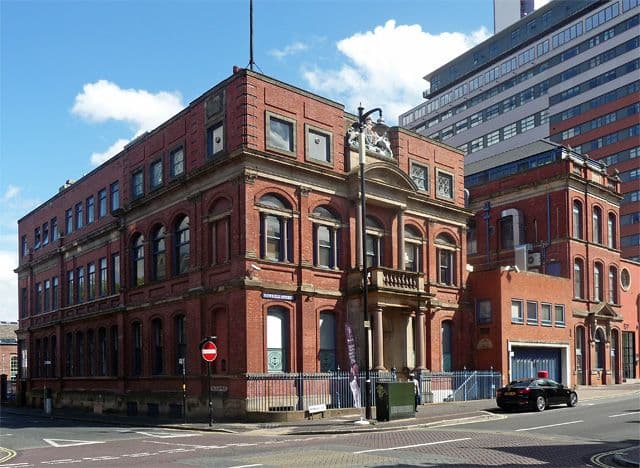
Newhall Street then ran straight through the site. A century later the Birmingham Assay Office, the institution Boulton had fought for in 1773, opened its new building in Newhall Street in 1878. The house has gone, but the street, the hill and the whole Newhall estate still carry its name.
What happened here?
The Colmore family’s mansion, and from the 1770s until 1787 partly Matthew Boulton’s town warehouse, listed ‘at Newhall’ in 1785.
Why it mattered
It was Boulton’s shop window in Birmingham for at least a decade, and its demolition led directly to his purpose-built warehouse in Livery Street. The house gave its name to Newhall Street and the Newhall estate, the core of today’s Jewellery Quarter.
Why it disappeared
Redevelopment · Road building
The Colmore estate pulled the house down in 1787 so that Newhall Street could be extended across its site. The barn survived briefly, probably until 1788.
What’s there now
What replaced it
Newhall Street, extended across the site from 1787, and later buildings along it.
What survives
Nothing. The name survives in Newhall Street, Newhall Hill and the Newhall estate.
Today
Walk up Newhall Street from Great Charles Street Queensway towards Lionel Street. About a third of the way up, the house stood across what is now the road. The Assay Office is further up the same street.
Sources and further reading
When Boulton’s use began: the 2002 Jewellery Quarter appraisal says from the early 1770s; Quickenden (1990, via Loggie) says the warehouse moved from Snow Hill in 1777. The text says ‘from the 1770s’. The barn’s survival until 1788 is the appraisal’s inference (‘presumably’). No reliable picture of the house is known; a thumbnail on Westley’s plan of 1731 does not match its outline on other plans. The pin is read from Hanson’s 1778 plan, which is not accurately surveyed.
- Jewellery Quarter Conservation Area Character Appraisal and Management Plan — Birmingham City Council (Donald Insall Associates), 2002. pp. 9–11
- Soho Depicted: prints, drawings and watercolours of Matthew Boulton, his manufactory and estate, 1760–1809 (PhD thesis) — V. A. Loggie, University of Birmingham, 2011. pp. 45–46 and nn. 184, 186
- A History of the County of Warwick, vol. 7: The City of Birmingham — Secular Architecture, pp. 43–57 — W. B. Stephens (ed.), Victoria County History, 1964. Newhall Street and Colmore’s Act of 1747
- Plan of Birmingham, survey’d by Thomas Hanson — Thomas Hanson, 1778. Ref. Bibliothèque nationale de France copy
- Showell’s Dictionary of Birmingham — Thomas T. Harman and Walter Showell, Cornish Brothers, Birmingham, 1885. ‘Assay Office’
- Ordnance Survey 1:500 town plan of Birmingham, 1887–88, georeferenced — National Library of Scotland, 1888
Archive references: Library of Birmingham MS 3782/12/6/83 (Matthew Boulton to —, 12 May 1787)
Comments
Comments will load here.