
What was here?
Rented premises somewhere on Upper Priory, a short street between Steelhouse Lane and the Old Square, used as Matthew Boulton’s stopgap town warehouse in 1787–88.
History
Six weeks, he thought
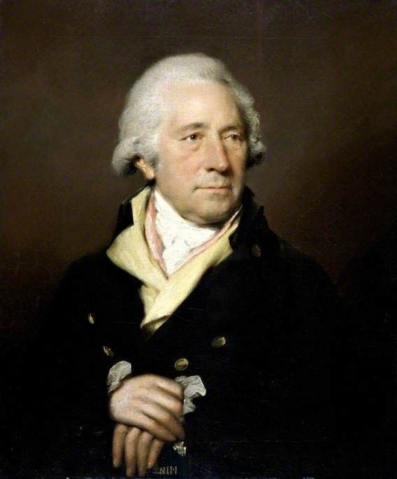
When the Colmore estate pulled down New Hall in 1787, Matthew Boulton needed somewhere in town for his goods, fast. His first plan, Val Loggie writes from his letters, was to build a new warehouse in six weeks and move everything into it in another six. It did not work out like that. Instead he took premises in Upper Priory while Samuel Wyatt designed and built something grander in Livery Street.
The stopgap is on record. Hunter’s Distant Traders Guide of 1788, a trade directory, lists among Birmingham’s merchants: “Boulton, Matthew - - - Upper-Priory”. Pye’s directories of 1787 and 1788 also put the warehouse here. By 1791 it was in Livery Street.
An old street
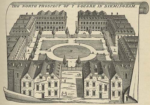
Upper Priory was no stranger to industrial experiment. In about 1741 Lewis Paul and John Wyatt had set up one of the earliest powered cotton-spinning mills in a warehouse in the same street. Nobody knows which building Boulton used, and the whole street has since gone under later rebuilding and the Priory Queensway.
For a year, Soho’s goods were sold from a borrowed address on a backstreet near the Old Square. Boulton’s next warehouse would be built to impress.
What happened here?
Matthew Boulton’s temporary Birmingham warehouse, 1787–88, between New Hall and Livery Street.
Why it mattered
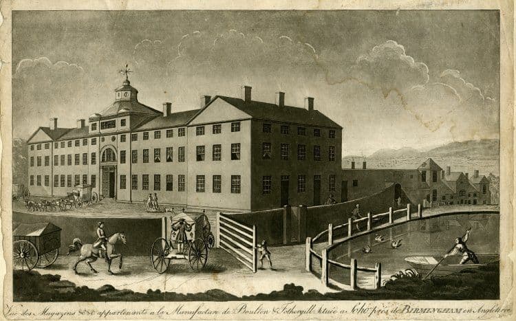
A short stop, but it fills the gap in the story of Boulton’s town warehouses, from Snow Hill to New Hall, Upper Priory and Livery Street.
Why it disappeared
Redevelopment · Road building
Boulton left in 1788 for Livery Street. Upper Priory was later rebuilt and finally swept away by post-war redevelopment around the Priory Queensway.
What’s there now
What replaced it
Later 19th-century buildings, then post-war redevelopment around the Priory Queensway.
What survives
Nothing.
Today
The Priory Queensway area, between Steelhouse Lane and the Old Square.
Sources and further reading
Only the street is recorded; the building is not identified, so the pin is the midpoint of the street on the 1888 Ordnance Survey plan. The dates come from Hunter’s 1788 directory and from Pye’s directories of 1787 and 1788 as cited by Loggie.
- The Distant Traders Guide — Hunter, 1788. p. 34, ‘Merchants’
- Soho Depicted: prints, drawings and watercolours of Matthew Boulton, his manufactory and estate, 1760–1809 (PhD thesis) — V. A. Loggie, University of Birmingham, 2011. p. 46 and n. 186
- Ordnance Survey 1:500 town plan of Birmingham, 1887–88, georeferenced — National Library of Scotland, 1888. Upper Priory
- Economic and Social History: Industry and Trade, 1500–1880, in A History of the County of Warwick, vol. 7, pp. 81–139 — W. B. Stephens (ed.), Victoria County History, 1964. Paul and Wyatt’s mill
Archive references: Library of Birmingham MS 3782/13/36/14 (Matthew Boulton to Matthew Robinson Boulton, 1 December 1787)
Comments
Comments will load here.