
What was here?
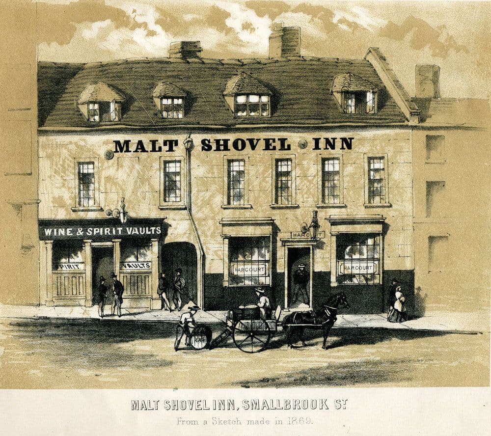
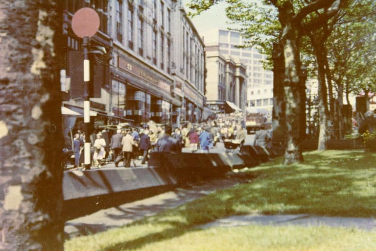
Before the ring road, Smallbrook Street ran from the bottom of the Bull Ring markets towards Holloway Head and Horse Fair, a street of shops, workshops and pubs such as the Malt Shovel, crossed by Hurst Street and Pershore Street.
History
Smallbrook Street took its name from a family, not a stream. The Victoria County History explains that in the early eighteenth century one of the few areas where Birmingham could still grow was “the land belonging to Richard Smallbrook just beyond St. Martin’s Rectory”, and that “it was by association with this land that Smallbrook Street acquired its name”. Smallbrook leased the plot in 1707 to a gunsmith, Samuel Vaughton, and building followed.
The street sat on very old ground. The VCH notes that the medieval parsonage, with its own moat, had stood “at what was later the junction of Smallbrook Street and Pershore Street”.
A working street
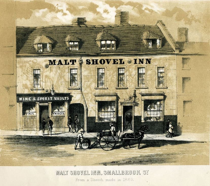
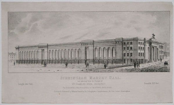
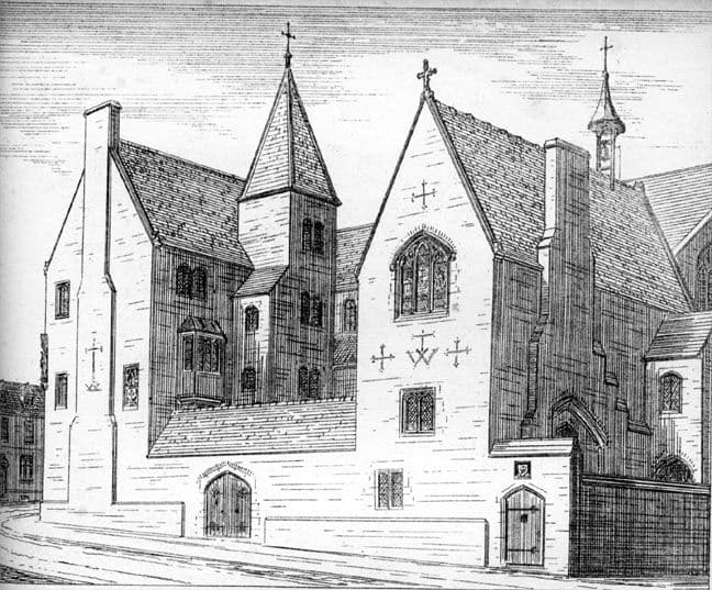
For two centuries Smallbrook Street was an ordinary, busy town street on the edge of the markets. A plate published in The Buildings of Birmingham, Past and Present in 1869 shows the Malt Shovel Inn there, a low old building squeezed among its neighbours. It was the kind of street the Victorian town was full of: narrow frontages, shops below, rooms above, yards behind.
First in line
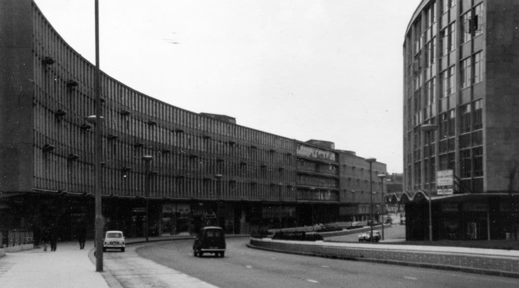
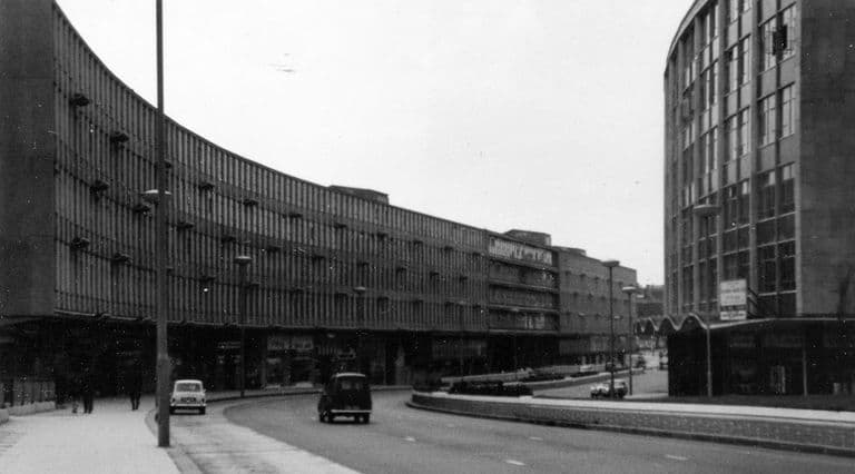
It was also exactly where Herbert Manzoni’s department chose to start. When the Minister of Transport finally released funding in January 1957, work began on the first section of the Inner Ring Road, between Horse Fair and New Street station. A photograph reproduced by Keith Jordan is captioned “Smallbrook Street/Suffolk Street – clearing the way for Smallbrook Queensway 1957”. A local history of the area puts it bluntly: by 1959 “all the premises in Smallbrook Street were razed to the ground”.
On 8 April 1959 the Hill Street to Hurst Street subway opened beneath the new road. Jordan says it was the first in the country to be the only way pedestrians could cross. The Victoria County History records that the first stretch, “the Smallbrook Ringway and shopping centre, running from Horse Fair to Queen’s Drive, was opened in 1960”.
A street rebuilt as a road
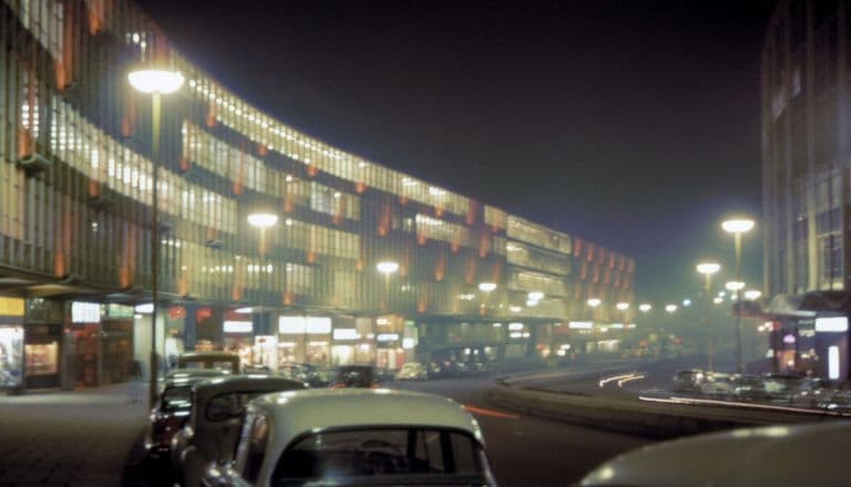
What went up was not a street in the old sense. On the south side James A. Roberts designed a long, curving block of shops and offices, the Ringway Centre. Larkham explains that its narrow plan was forced “by the limited land available through the compulsory purchase scheme”. Opposite rose Roberts’s Albany Hotel. Within three years Smallbrook Street had gone from a jumble of old buildings to Birmingham’s first view of the modern city.
What happened here?
Then A street of shops, workshops and pubs, built up from the early eighteenth century on Richard Smallbrook’s land between the Bull Ring and Horse Fair.
What happened From 1957 its buildings were demolished, and Smallbrook Ringway, the first section of the Inner Ring Road, was built along it and opened in 1960.
Why It lay on the line of the Inner Ring Road, authorised by the Birmingham Corporation Act 1946. When the Minister of Transport approved funding in January 1957, this was the section the city built first.
What replaced it Smallbrook Ringway (later Smallbrook Queensway), with James A. Roberts’s Ringway Centre on the south side and the Albany Hotel opposite.
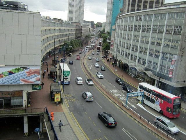
Now Smallbrook Queensway, a busy dual carriageway between Holloway Circus and the Bullring.
Why it mattered
Smallbrook Street was the first street sacrificed to the Inner Ring Road. What happened here between 1957 and 1960, with the clearance, the first pedestrian subway and the first ringway frontage, set the pattern for the rest of the road.
Why it disappeared
Road building · Redevelopment
The Inner Ring Road scheme. Funding was approved by the Minister of Transport on 18 January 1957 and work began on the first section between Horse Fair and New Street station (Jordan; Larkham). The street’s buildings were cleared from 1957 (Jordan’s photograph caption) and Smallbrook Ringway opened in 1960 (VCH).
What’s there now
What replaced it
Smallbrook Ringway, the first section of the Inner Ring Road, opened in 1960 and later renamed Smallbrook Queensway, with the Ringway Centre (James A. Roberts) along its south side and the Albany Hotel (also Roberts, 1960–62) opposite.
What survives
Nothing of the old street is known to survive above ground. The name survives in Smallbrook Queensway.
Today
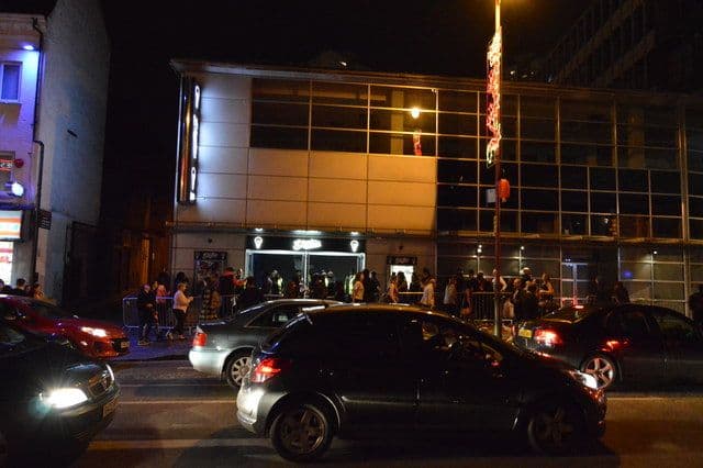
Smallbrook Queensway, the A4400 dual carriageway running from Holloway Circus towards the Bullring and Moor Street.
Then and now
Then · 1869
Now · 14 September 2012
Key dates
- 1957 — Smallbrook Street cleared for the ring roadDemolition clears Smallbrook Street for Smallbrook Ringway, the first section of the Inner Ring Road, after the Minister of Transport approves funding in January 1957.
- 8 April 1959 — First ring-road subway opensThe subway from Hill Street to Hurst Street opens beneath the new road, reportedly the first in the country to be pedestrians’ only way across.
Sources and further reading
How far the new road follows the exact line of the old street has not been checked against a pre-war Ordnance Survey map. The local-history page at hurst-street.com says the ringway was built where the street stood, which fits Jordan’s 1957 photograph caption, but that page is a lead, not an authority.
The date the first section officially opened varies in its precision: the VCH gives 1960; Jordan gives 11 March 1960, opened by Ernest Marples. Only the year is used here.
The 1869 plate of the Malt Shovel Inn does not record when that building was demolished. It is used to show the character of the street, not to claim the inn survived until 1957.
The Ringway Centre’s own future is a separate story, covered elsewhere; its present physical state is not described here.
- A History of the County of Warwick, vol. 7: The City of Birmingham — The Growth of the City, pp. 4–25 — W. B. Stephens (ed.), Victoria County History, 1964. pp. 4–25
- The Inner Ring Road, Underpasses & Murals of Birmingham — Keith M. Jordan, Sutton Coldfield Local History Research Group, 2006. pp. 2–4
- Replanning post-war Birmingham: process, product and longevity — Peter J. Larkham, architectura 46, 2016. pp. 8–9
- 148 Smallbrook Queensway — hurst-street.com
Comments
Comments will load here.