
 Lost common
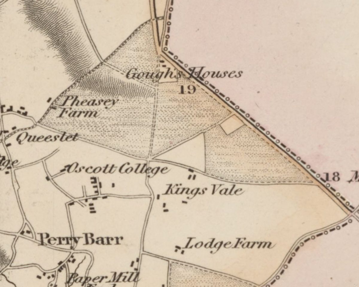
Perry Barr Common and the Warrens
Before the houses, before the farms, Kingstanding was open heath and rabbit warren. An Act of 1811 and an award of 1814 turned it into the straight fields the estate was built on.
C. Greenwood, Map of the County of Stafford, surveyed 1819–20, published 1820 · Out of copyright
Read more →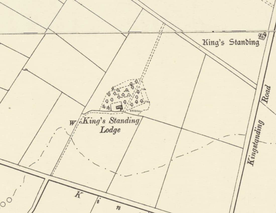 Lost house
King’s Standing Lodge and the Warren Houses
A lonely warrener’s house on the heath, on the map by 1775 and let with 300 acres of rabbit warren in 1820. It stood by today’s Bandywood Crescent until about 1930.
Ordnance Survey six-inch map, revised 1901, published 1904 · Out of copyright
Read more →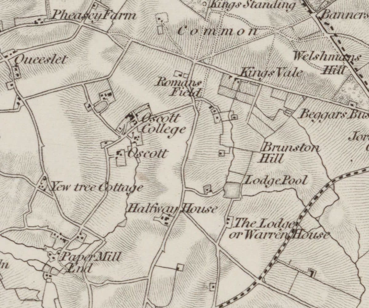 Roman findspot
Roman Field
A field beside the line of Icknield Street where Roman coins, including coins of Domitian, were turned up. Owned by the Catholic trustees at Oscott, it very probably became the waterworks site.
Ordnance Survey one-inch Old Series, revised 1831–32 (1863 printing) · Out of copyright
Read more →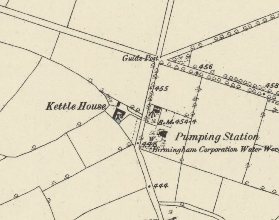 Lost farm
Kettle House Farm
The farm just south of today’s Circle that gave its name to the Kettlehouse estate: in the deeds by 1814, a Calthorpe farm from 1846, and farmed by the Judds until 1936.
Ordnance Survey six-inch map, surveyed 1882–83, published 1884 · Out of copyright
Read more →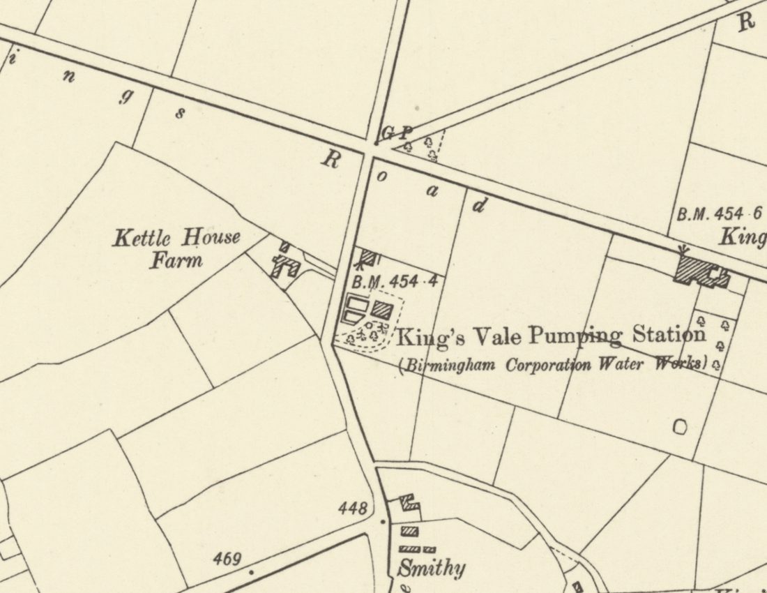 Lost waterworks
King’s Vale Well and Pumping Station
Birmingham’s waterworks sank a deep well here in the 1860s, expecting six million gallons a day. It gave 300,000, turned bad, and was disused by 1913. The site is now Wheeldon Recreation Ground.
Ordnance Survey six-inch map, revised 1901, published 1904 · Out of copyright
Read more →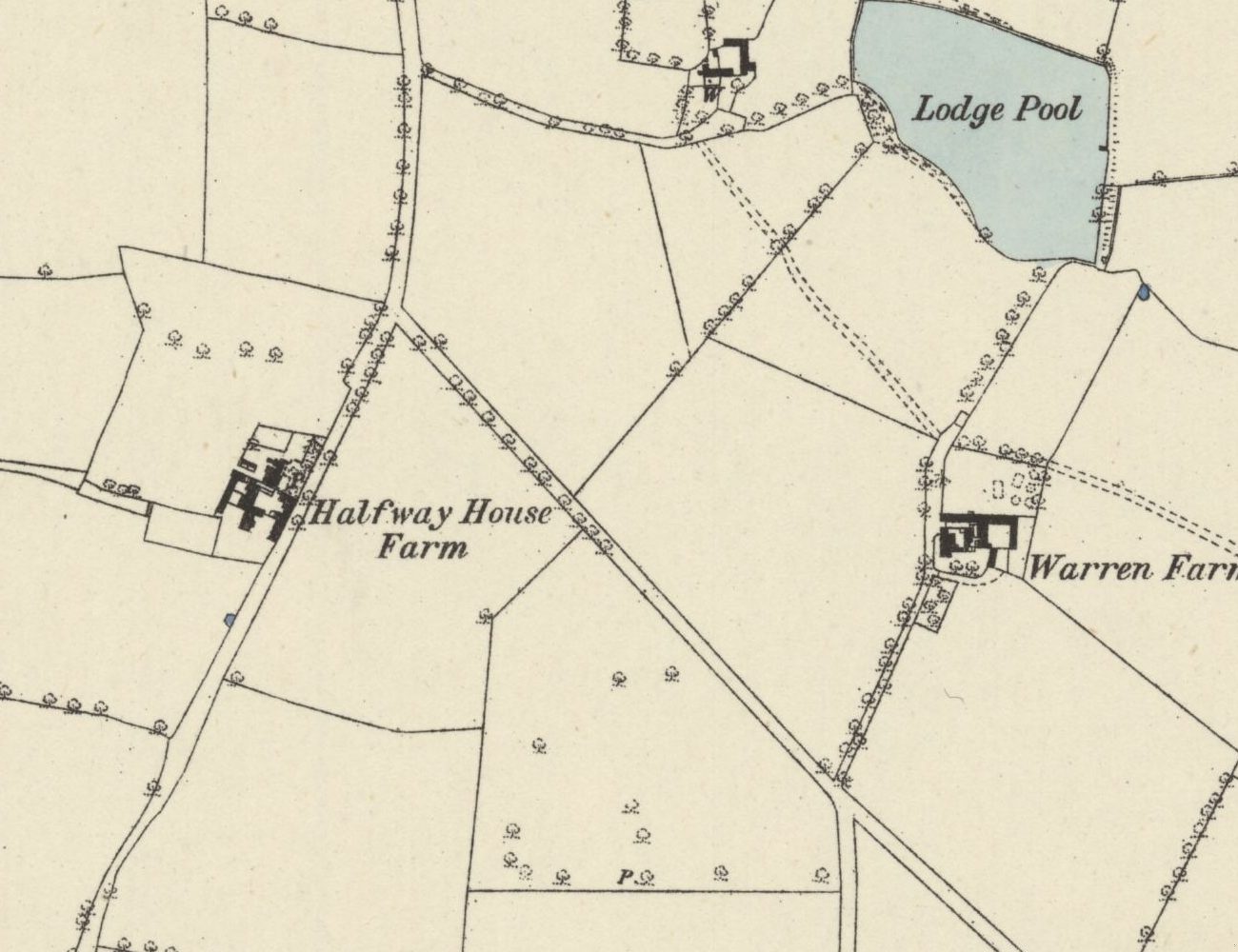 Lost farm
Halfway Farm
“Halfway House” on the 1831–32 map, home of Perry Barr’s tax collector, sold in 1921, and since 1938 the site of the drill hall on Kingstanding Road.
Ordnance Survey six-inch map, surveyed 1882–83 (published 1884) · Out of copyright
Read more →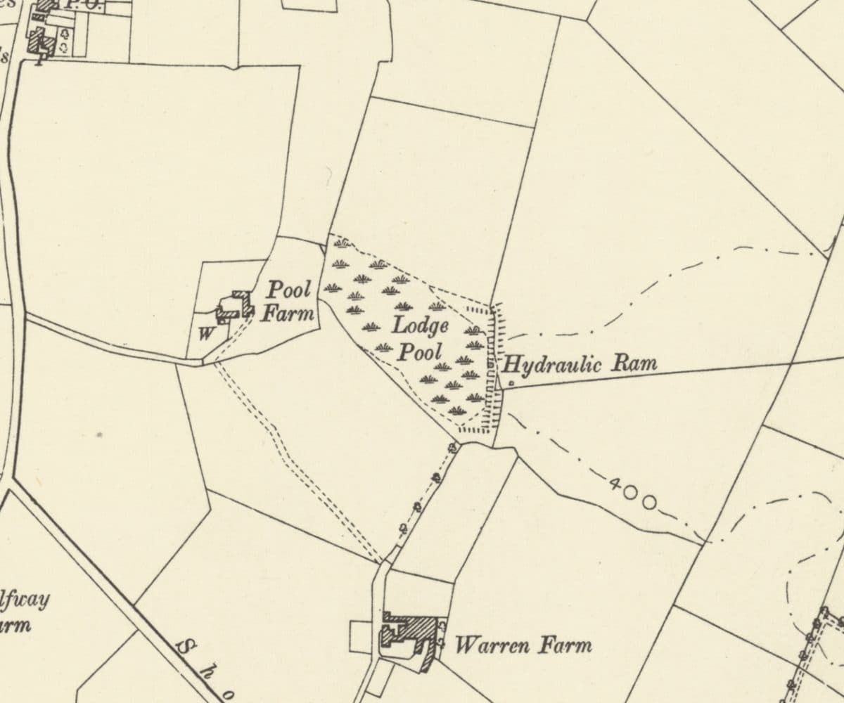 Lost farm
Warren Farm and Lodge Pool
A lodge on the rabbit heath that became Warren Farm, with Lodge Pool, a hydraulic ram and Pool Farm beside it, all now under the Warren Farm estate.
Ordnance Survey six-inch map, revised 1901 · Out of copyright
Read more →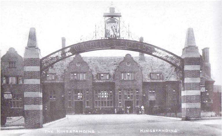 Lost pub
The Kingstanding pub
The great Mitchells & Butlers pub at the Circle: an iron arch, rooms galore, a bowling green and GIs on the lawn. Rebuilt twice, burnt in 2019, now a car park.
Postcard, 1936; publisher and photographer unknown
Read more →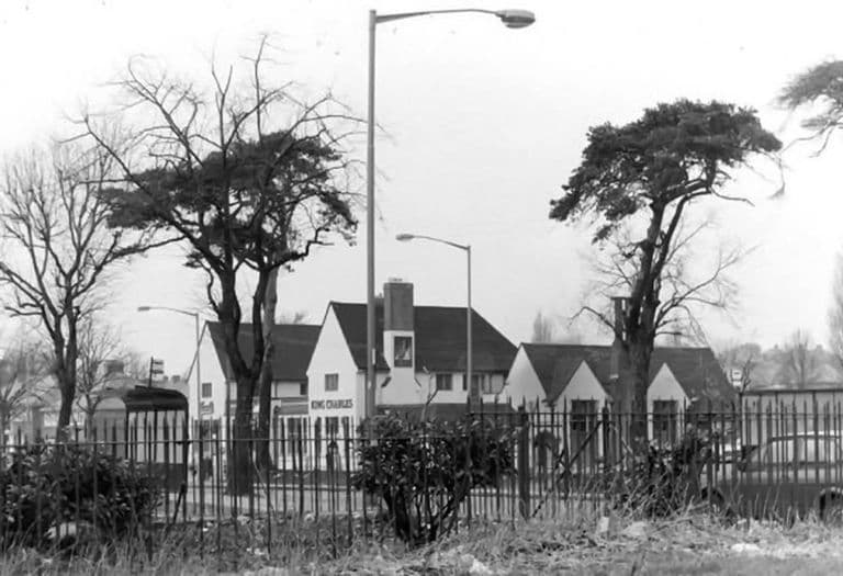 Lost pub
The King Charles
“The Charlie” on the corner of Kings Road and Hartley Road: Vimto by the railings, darts, piano, film shows and Saturday-night music. Houses stand there now.
Submitted by a resident of Oscott. Photo copyright Keith Wright (as credited on Voices of Kingstanding).
Read more →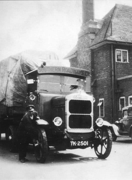 Lost pub
The Hare and Hounds
The 1931 Mitchells & Butlers roadhouse on Kingstanding Road, with terraced grounds down to a bowling green, GIs on the wall and long-serving landlords. Gutted by fire in 2016.
Library of Birmingham, Local Studies and History Department, LSH WK K10 0087 (3/1310)
Read more →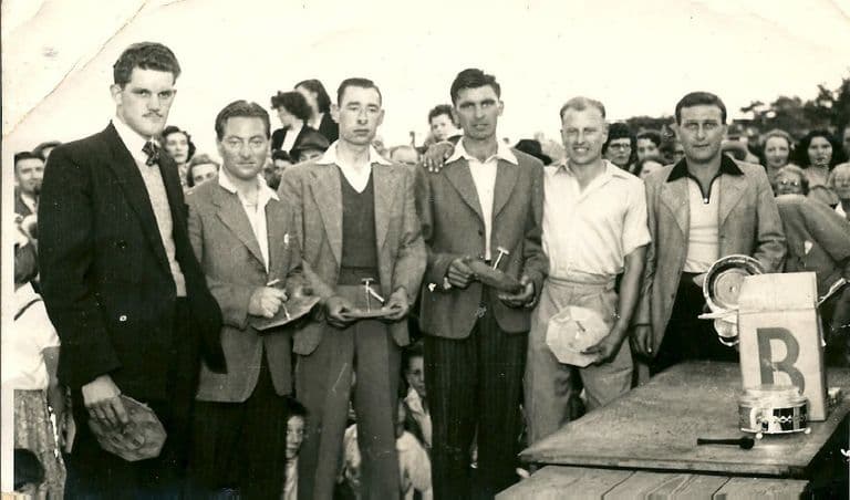 Lost dairy
The Co-op Dairy, Kingstanding Road
The Co-op milk depot beside the drill hall on Kingstanding Road: Clydesdales and sleighs in the war, electric floats and teenage “jockeys” in the 1960s.
Photo: Bernie Ryman. Reproduced with permission via Chris Hillcox, Voices of Kingstanding.
Read more →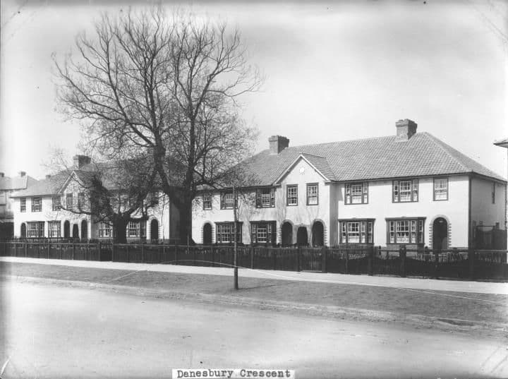 Lost coal yard
Chas. H. Davis’s Coal Yard
A small coal yard in Danesbury Crescent, behind the baths, where post-war families queued with barrows and old prams for coal, slack and “nutty slack”.
Library of Birmingham, Local Studies and History Department, LSH WK K10 0027 (3/1258)
Read more →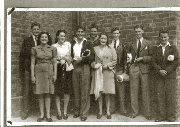 Lost swimming baths
Kingstanding Baths
The Warren Farm Road swimming baths, opened in 1938: free passes, the high board, a penny Oxo upstairs and dances on boards laid over the pool.
Photo: Dennis Elwell. Reproduced with permission via Chris Hillcox, Voices of Kingstanding.
Read more →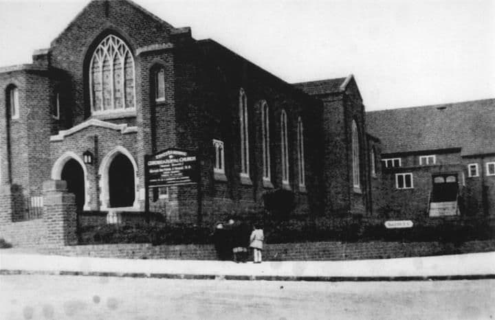 Lost church
Ebenezer Memorial Congregational Church
The Congregational church on the corner of Brackenbury Road and Dulwich Road, finished in 1934: Sunday school, the 213th scouts, rock and roll in the hall.
Library of Birmingham, Local Studies and History Department, LSH WK K10 0132 (3/1350)
Read more →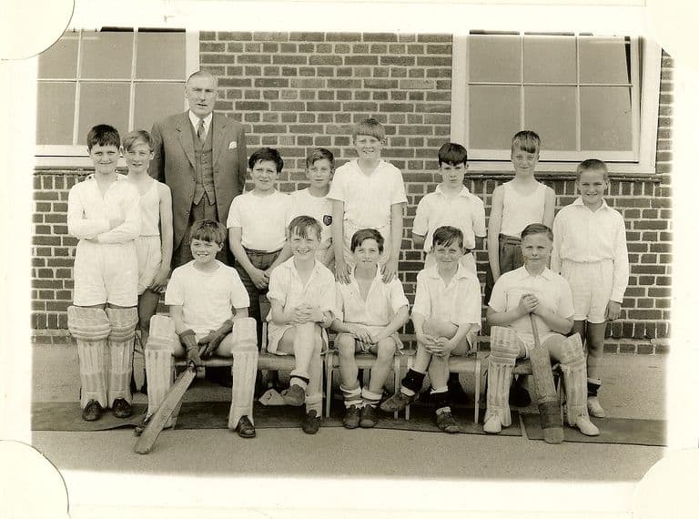 Lost school
King’s Rise School
King’s Rise secondary school on Peckham Road, 1945–1989: maroon blazers, Pop Mason, a Villa goalkeeper, 1976 photographs, and houses where it stood.
Image reproduced with permission of Chris Hillcox, Voices of Kingstanding.
Read more →
Looking after these places. These pages tell the story of Kingstanding’s places. To see what Kingstanding Together is doing for them, visit Kingstanding Green Spaces and Heritage & Conservation.
The Kingstanding we’ve lost
Not everything survived. The Woolworths on Hawthorn Road, shops and pubs that anchored the parades, corners of the old estate remade over ninety years — much of it lives now only in memory and family photographs. Gathering it before it’s gone for good is exactly what this group is for, so the Odeon isn’t the only piece of Kingstanding we manage to save.
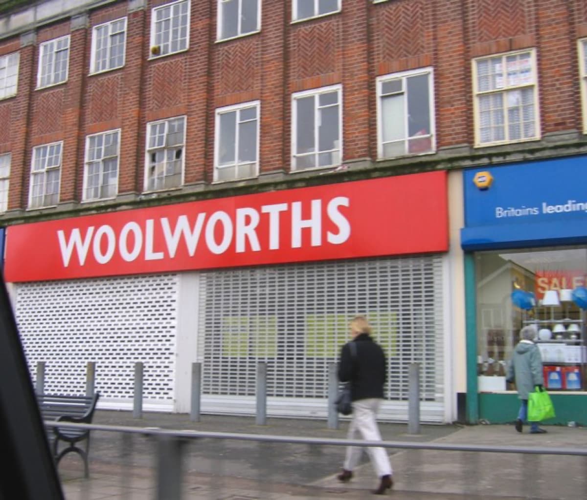 Roy Hughes · CC BY-SA 2.0
History sourced from Historic England’s listing and scheduling records, the Birmingham history research of Bill Dargue, and Wikipedia. Photographs are used under Creative Commons licences and credited to their photographers — full details on our photo credits page.