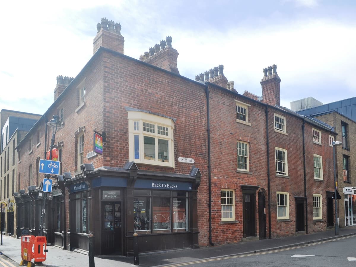
In 1914, a special housing inquiry found more than 43,000 back-to-back houses in Birmingham. The National Trust, which now looks after the last of them, says that at the end of the First World War they housed more than 200,000 people. They lived in houses with a wall at the back, a wall on either side, and one door.
How they were built
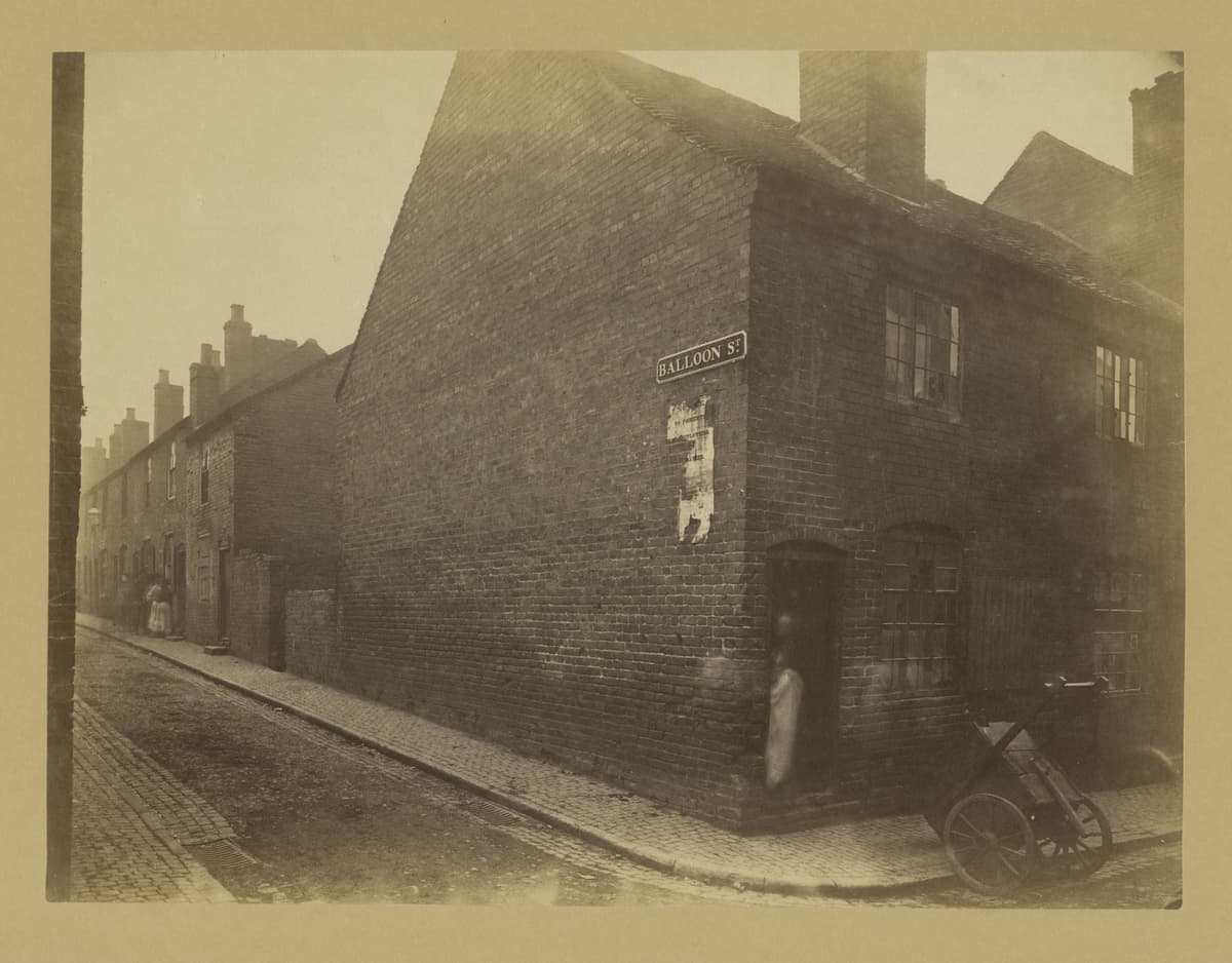
The Victoria County History describes the pattern. A row of houses faced the street. Back to back with it stood a second row, facing into a courtyard reached through a narrow covered entry. In the yard were shared privies, ash pits and a wash-house. Each house had a cellar for coal and three rooms piled on top of each other. The pattern spread across the new districts built after 1830. In 1849 inspectors praised the newer courts as “excellent in their arrangement”; what worried them was the sanitation. The VCH quotes a later report: “the closet question is really at the root of the proper housing of the working classes.”
The model by-laws adopted by the borough in 1876, the VCH says, required every dwelling to have air on at least two sides, “thus putting an end to the building of back-to-back houses in Birmingham”. But nobody pulled the old ones down. They were cheap, and the poorest families needed them.
The Victorian answer
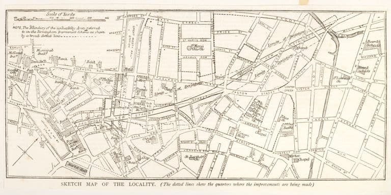
Joseph Chamberlain’s Improvement Scheme of 1875 cleared some of the worst courts for Corporation Street, but rehoused almost nobody. After that the council tried persuasion. From 1901 its housing committee chose house-to-house inspection over clearance schemes, and in ten years forced the repair of 2,700 houses and the demolition of 1,800. It built only a handful itself: 22 cottages in Ryder Street in 1889–90, 82 in Lawrence Street in 1891 and an experimental block of flats in Milk Street in 1898. The Lawrence Street terraces were built with the city arms on their gable ends.
Between the wars
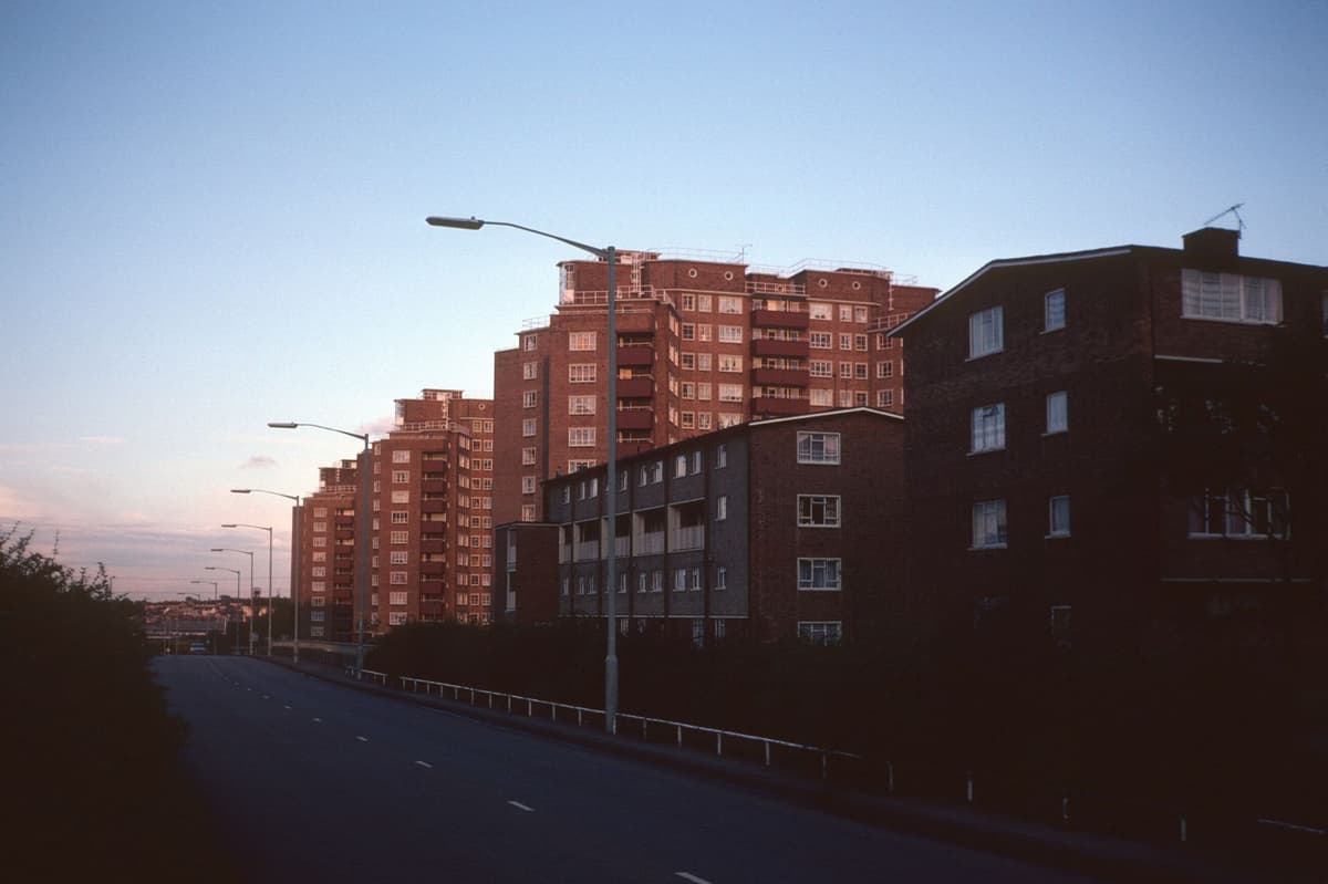
After 1918 government subsidies changed everything. Between 1919 and 1939 the council built 50,268 houses, according to the VCH, housing about 200,000 people. They went up on the edge of the city, at twelve to the acre, with gardens. “Vast new suburbs were created,” the VCH says, “of which Kingstanding was the largest.” The Kingstanding land was bought compulsorily from 1928, before the Housing Act of 1930 steered subsidies towards slum clearance.
Moving out was not easy. A complaint of 1938, quoted by the VCH, said tenants on the windswept new estates compared their homes to Siberia. And the slums barely shrank. The VCH concludes that “only a limited amount of slum clearance was possible in spite of the corporation’s vast new housing schemes”. In 1936 there were still over 38,000 back-to-backs. Meanwhile the Copec House Improvement Society, founded in 1925, showed that knocking out the front houses of a court could let in light and air.
The five areas
The war made the problem worse; bombs destroyed about 12,000 houses, mostly in the inner districts. A survey in 1946 found 29,000 back-to-backs, nearly 40,000 houses without their own lavatory and more than 142,000 without a bathroom.
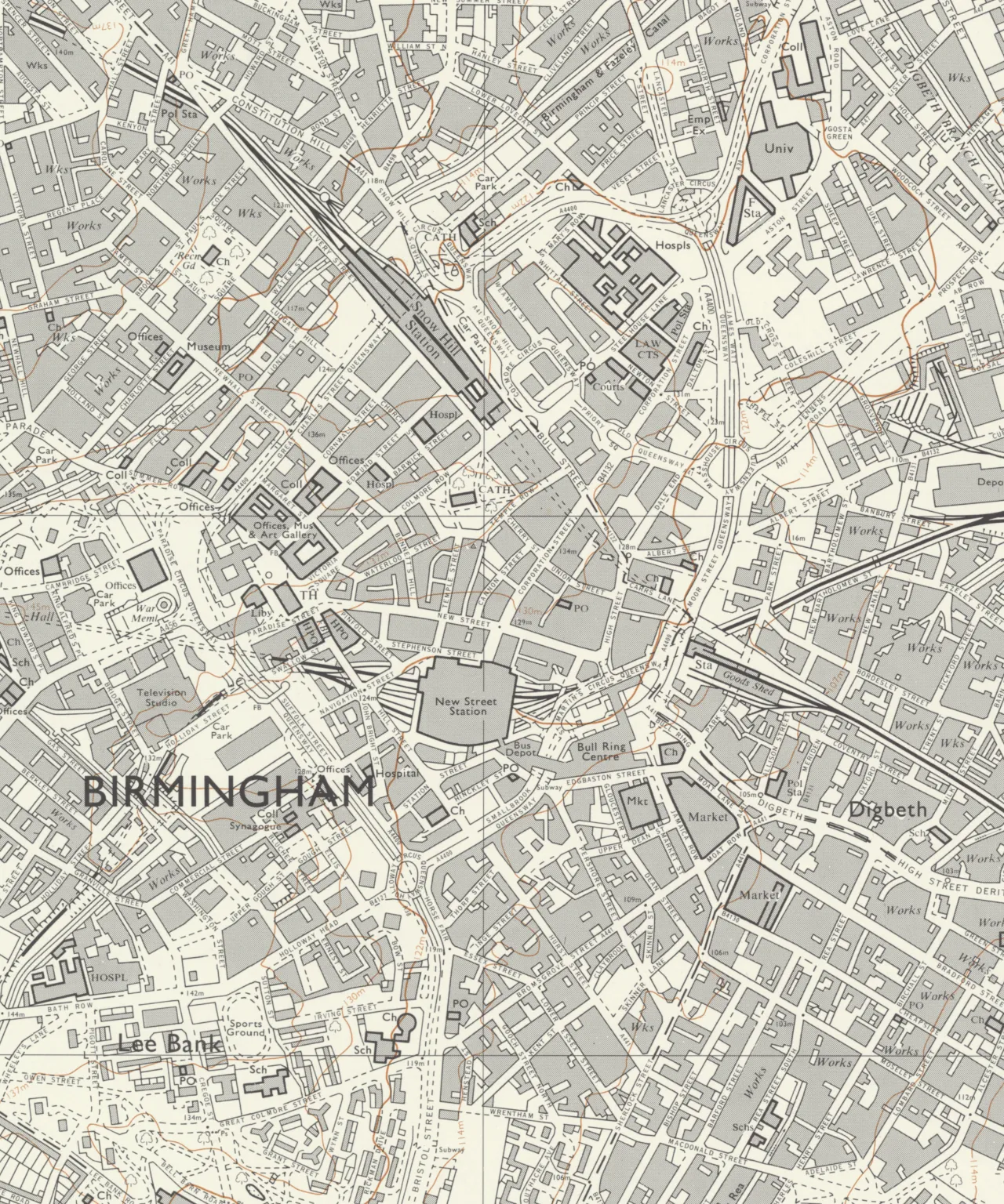
This time the council acted on a vast scale. In 1947 it completed the purchase of about 1,400 acres in five areas in a horseshoe round the centre: Duddeston and Nechells, Summer Lane (later Newtown), Ladywood, Bath Row (later Lee Bank) and Gooch Street (later Highgate). Each was to become a self-contained “new town” of 6,500 to 15,000 people. The council history of 1995 says each neighbourhood was to have its shops, community centre and four acres of open space per thousand people. A survey of 1954 found that 50,000 houses, one in five in the city, were unfit to live in.
Into the sky
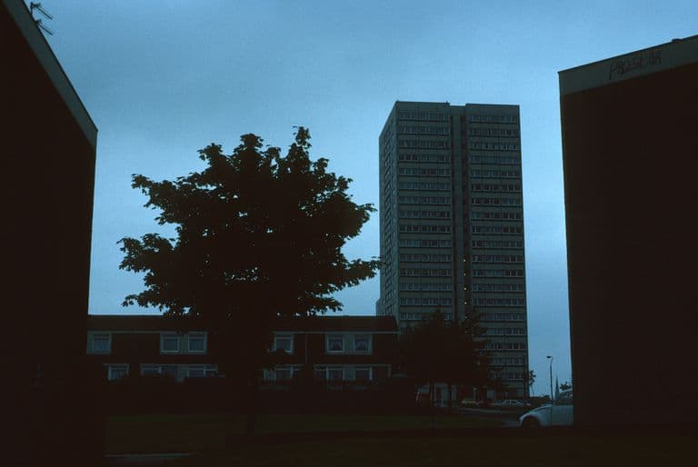
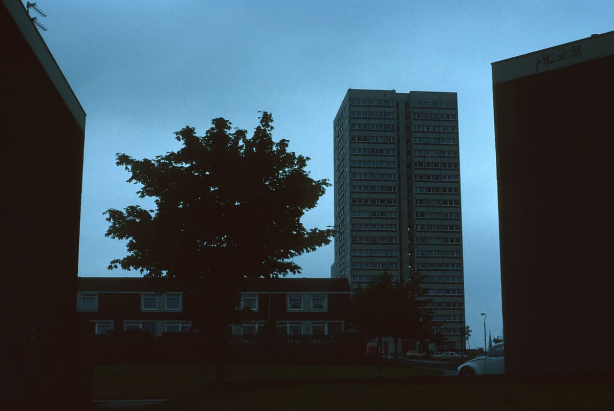
The first tall council blocks, four 12-storey towers at Duddeston, were begun in 1951. By 1957 the new City Architect’s department planned to put a third of all central-area homes in tall blocks, and more than 100 blocks of up to twelve storeys were already finished. The housing historian John Boughton calculates that by 1971 the council owned 464 tower blocks. The geographer Phil Jones writes that by the early 1970s the five areas “had been completely rebuilt, with almost none of the original buildings surviving”.
Overspill estates went further out still: Castle Vale on the old airfield, Chelmsley Wood on green-belt land. By 1960 the VCH could still record 25,000 back-to-backs. By the end of that decade, the National Trust says, nearly all had gone.
Court 15
Nearly, but not quite. At the corner of Inge Street and Hurst Street stands Court 15, begun about 1802 and finished by 1831: three houses on Inge Street, five on Hurst Street and three more in the yard behind. It survived because the front houses were used as shops and the back ones as workshops. The last resident left in 1967; George Saunders, a tailor, kept his business there until 2002. Restored by the Birmingham Conservation Trust, it opened to the public in July 2004 and is listed Grade II.
Today you can stand in the yard, by the wash-house and the shared privies, and see exactly what the reformers spent a century trying to get rid of. It is the only place in Birmingham where you can.
A long read
Herbert Manzoni: the man who remade Birmingham
Birmingham survived the Blitz, then rebuilt itself on purpose. Compare the city before and after on four lined-up maps, see what the Inner Ring Road took, and judge for yourself.

On the map
3 places connected with Slum clearance and the back-to-backs. Tap a number for directions — some sites are private homes or gardens, so each place’s page says what you can see from the street.

- Summer Lane and the old Newtown — Site redeveloped
- Corporation Street — Surviving, Surviving but altered
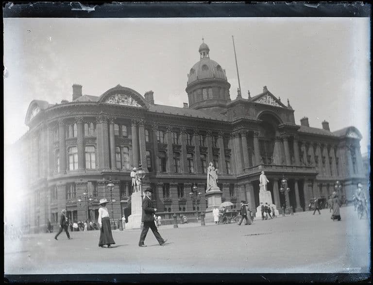
- The Council House, Victoria Square — Surviving · Directions to The Council House, Victoria Square (opens Google Maps)
Key dates
- 12 October 1875 — Council adopts Chamberlain’s Improvement SchemeUsing the new Artisans’ Dwellings Act, the council adopts Mayor Joseph Chamberlain’s scheme to buy and clear 93 acres of the worst streets in the town centre and drive a new street through them. Chamberlain asks the council for “a sagacious audacity”.
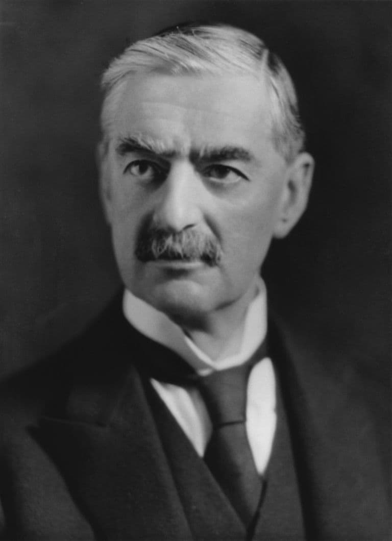
- October 1933 — Chamberlain opens the 40,000th council houseNeville Chamberlain opens Birmingham’s 40,000th council home, calling it “an achievement on the part of Birmingham which has no parallel in this or any other country”.
- 1936 — Still 38,000 back-to-backsAfter more than 73,000 council and private houses have been built since the First World War, Birmingham still has over 38,000 back-to-back houses, 13,000 houses without their own water supply and 51,000 without their own lavatory.
- November 1937 — Duddeston and Nechells redevelopment plan approvedThe council approves Manzoni’s plan to redevelop 267 acres of Duddeston and Nechells as a whole, separating homes from industry. It is the city’s first comprehensive redevelopment area plan, drawn up before the war.
- 1946 — A housing survey counts the slumsA city housing survey finds 29,000 back-to-back houses, 6,500 homes without their own water supply, nearly 40,000 without their own lavatory and more than 142,000 without a bathroom.
- 1947 — Council buys the five redevelopment areasThe council completes the purchase of about 1,400 acres of slum housing and old industry in five areas round the centre: Duddeston and Nechells, Summer Lane, Ladywood, Bath Row and Gooch Street.
- 1955 — Over 50,000 Birmingham houses unfitA survey of 1954 finds over 50,000 houses, a fifth of the city’s homes, unfit to live in; in the national count of 1955 Birmingham estimates 50,250. The council reckons it needs 50,000 new homes and has land for 8,000.
- 30 June 1960 — Only 6,219 unfit houses clearedOf the 50,250 Birmingham houses estimated unfit in 1955, the housing minister Henry Brooke later reports, 6,219 have been cleared by the end of June 1960.
Sources and further reading
- A History of the County of Warwick, vol. 7: The City of Birmingham — Secular Architecture, pp. 43–57 — W. B. Stephens (ed.), Victoria County History, 1964
- A History of the County of Warwick, vol. 7: The City of Birmingham — Local Government and Public Services, pp. 318–353 — W. B. Stephens (ed.), Victoria County History, 1964
- A History of the County of Warwick, vol. 7: The City of Birmingham — The Growth of the City, pp. 4–25 — W. B. Stephens (ed.), Victoria County History, 1964
- A History of the County of Warwick, vol. 7: The City of Birmingham — Social History since 1815, pp. 223–245 — W. B. Stephens (ed.), Victoria County History, 1964
- History of Birmingham Back to Backs — National Trust
- Birmingham Back to Backs (Court 15), Inge Street and Hurst Street — National Heritage List for England entry 1034462 — Historic England
- Architecture and Austerity: Birmingham 1940–1950 — Sheila McGregor, Chris Upton and Nicola Coxon, Birmingham City Council Department of Planning and Architecture, 1995
- Compulsory purchase files for the Kingstanding area, 1928–29 (HLG 49/959, HLG 49/960, HLG 50/223–224) — The National Archives. Ref. HLG 49/959; HLG 49/960; HLG 50/223–224
- Duddeston Redevelopment Area, Unit 1 — Tower Block UK — Miles Glendinning, University of Edinburgh DataShare
- Post-war High-Rise in Birmingham I: ‘Saucer City’ — John Boughton, Municipal Dreams, 2015
- Birmingham’s Interwar Council House Building — John Boughton, Municipal Dreams, 2014
- The city as artwork: the dismemberment of modern Birmingham — Phil Jones, University of Birmingham, 2005
- Slum Clearance and the Building of Corporation Street — Chris Upton, History West Midlands