
What was here?
North of the city centre, Summer Lane ran through a dense district of nineteenth-century courts, back-to-back houses, workshops and corner shops, with Newtown Row as its shopping street. It was one of the most crowded parts of industrial Birmingham.
History
Summer Lane was a nineteenth-century world: long rows and courts of back-to-back houses, workshops squeezed in behind, pubs and shops on the corners. It was close to the Gun Quarter and the Jewellery Quarter, and it housed the people who worked in them.
An early target
The great change came in the twentieth century. Phil Jones, drawing on Sutcliffe and Smith’s history of the city, shows that Herbert Manzoni’s second great scheme, alongside the ring road, was “five giant slum clearance areas, identified by 1941”. Larkham quotes Manzoni himself saying the city was ready when the 1944 Town and Country Planning Act came, “because our plans had already been drawn up in detail”.
1947
The Victoria County History records the result: “in 1947 the city council completed the purchase of c. 1,400 a. in five areas — Duddeston and Nechells, Summer Lane, Ladywood, Bath Row, and Gooch Street”. They consisted “largely of slum property and obsolete industrial and shop premises”. Each was to become a self-contained “new town” for between 6,500 and 15,000 people, with its own shops, schools, churches and open space.
Summer Lane’s became Newtown. Bill Dargue calls it “the largest of them all”.
Almost total
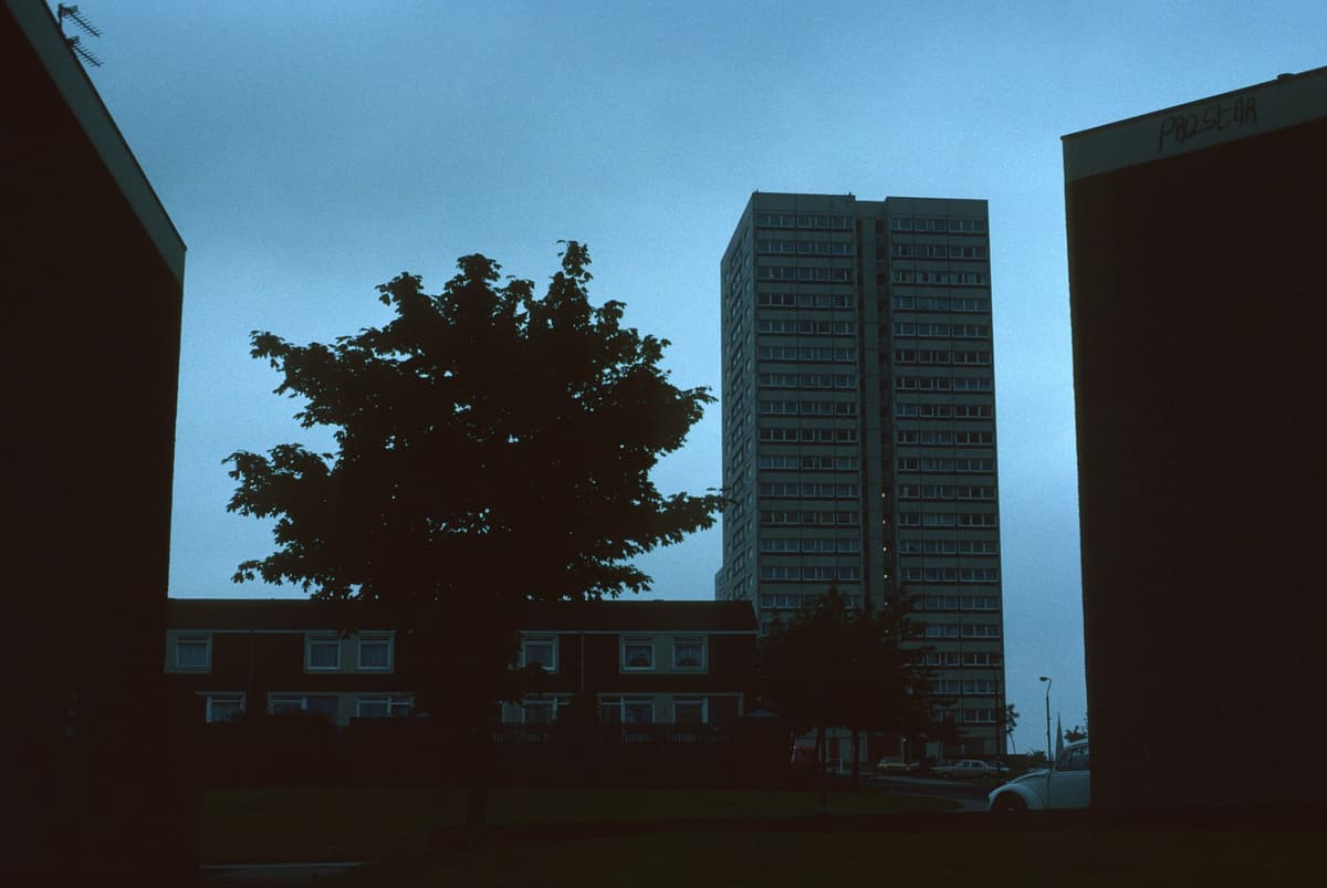
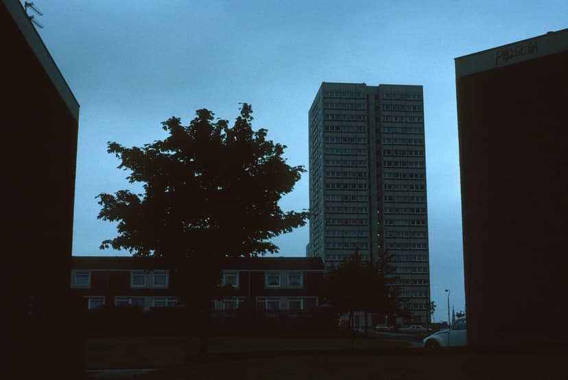
The clearance took a generation. Dargue writes that “from the late-1950s to the late-1970s clearance of the redevelopment areas was almost total”, with only some churches, pubs and a few listed buildings left standing. Newtown Row, a linear shopping street for a century, gave way in the 1970s to a purpose-built shopping centre. Tower blocks rose, among them Wiggin, Hodgeson and Brooks Towers: three 20-storey blocks with 354 flats between them, photographed by Miles Glendinning for Tower Block UK in 1987.
Larkham quotes Manzoni himself saying the city was ready when the 1944 Town and Country Planning Act came, “because our plans had already been drawn up in detail”.
By the early 1970s, Jones concludes, the five areas “had been completely rebuilt, with almost none of the original buildings surviving”. Summer Lane still exists as a road. The world that lined it does not.
What happened here?
Then A nineteenth-century district of courts, back-to-backs, workshops and shops along Summer Lane and Newtown Row.
What happened Bought compulsorily by the city council in 1947 as one of five redevelopment areas, then cleared almost completely between the late 1950s and the 1970s.
Why The redevelopment-area programme identified by Manzoni’s department by 1941 and carried out under the Town and Country Planning Act 1944.
What replaced it The planned estate of Newtown: council flats and houses, tower blocks such as Wiggin, Hodgeson and Brooks Towers, a new shopping centre, schools and open space.
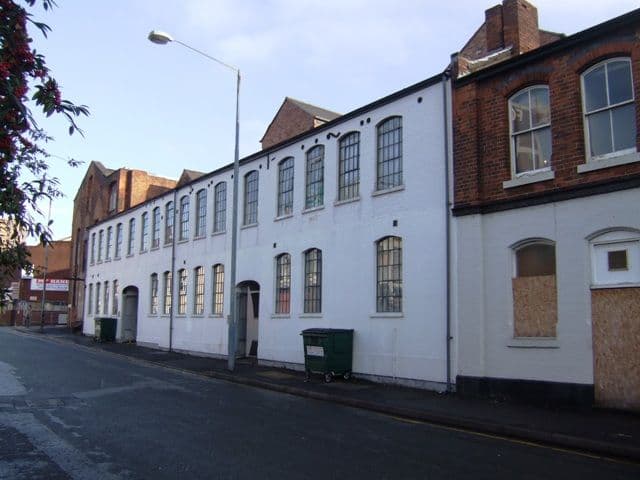
Now Summer Lane survives as a road through later-20th-century housing, flats and industrial buildings in Newtown and the edge of the Jewellery Quarter.
Why it mattered
Summer Lane stands for the biggest change of all in Manzoni’s Birmingham. It was not one building but whole neighbourhoods, home to tens of thousands of people, that his department planned away and rebuilt. Whatever one thinks of the slums or the towers, this is where the post-war city touched most lives.
Why it disappeared
Slum clearance · Redevelopment
Birmingham Corporation’s redevelopment-area programme: the Summer Lane area was one of five areas bought compulsorily in 1947 (VCH) under the Town and Country Planning Act 1944, identified by the City Engineer’s department by 1941 (Jones; Larkham), and cleared almost totally from the late 1950s to the late 1970s (Dargue).
What’s there now
What replaced it
Newtown, a planned council estate with tower blocks (including Wiggin, Hodgeson and Brooks Towers, three 20-storey blocks with 354 dwellings), low-rise housing, a new shopping centre replacing the shops of Newtown Row, schools and open space.
What survives
The line and name of Summer Lane. Some churches, pubs and listed buildings survived the clearance (Dargue); they are not described individually here.
Today
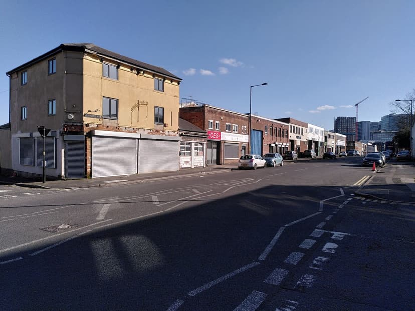
Summer Lane runs north from the Jewellery Quarter edge through Newtown, lined with later housing, flats and commercial buildings.
Then and now
Then · 1987
Now · 18 March 2022
Sources and further reading
The acreage and number of homes in the Summer Lane area alone were not found in the sources read; the 1,400-acre figure is for all five areas together.
Back-to-back housing in the district is described here in general terms; no source read gives a count for Summer Lane.
The exact boundary between the Summer Lane redevelopment area and the neighbouring Gun Quarter and Jewellery Quarter was not mapped.
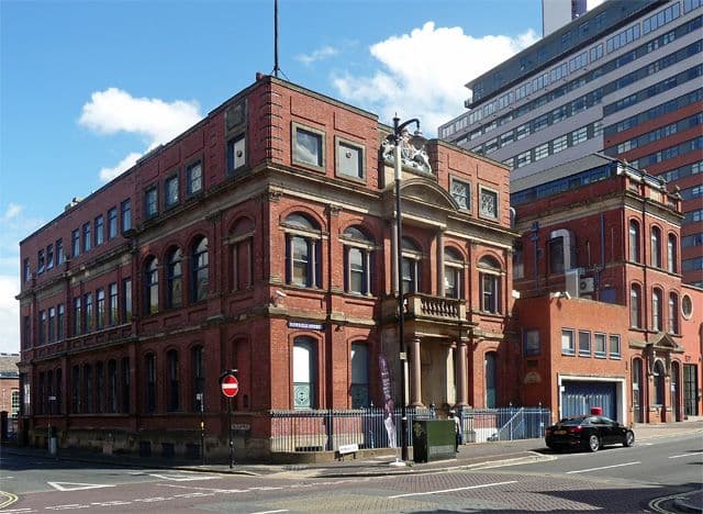
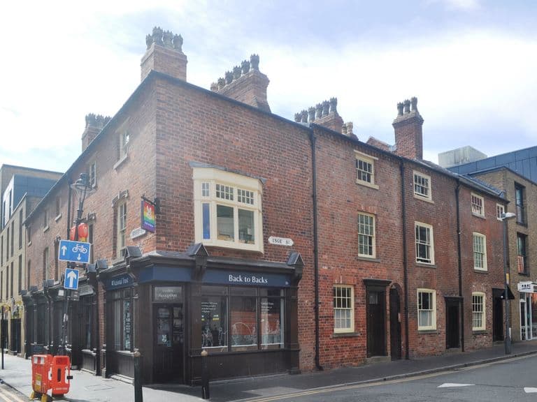
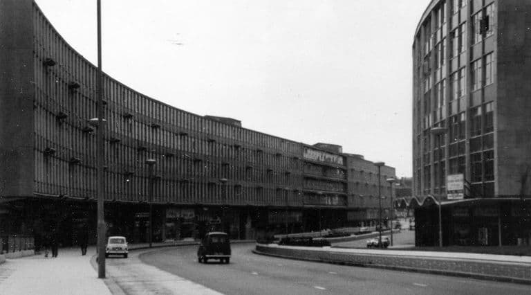
No openly licensed photograph of the pre-clearance streets was found; the images show what replaced them.
- A History of the County of Warwick, vol. 7: The City of Birmingham — The Growth of the City, pp. 4–25 — W. B. Stephens (ed.), Victoria County History, 1964. pp. 4–25
- The city as artwork: the dismemberment of modern Birmingham — Phil Jones, University of Birmingham, 2005
- Replanning post-war Birmingham: process, product and longevity — Peter J. Larkham, architectura 46, 2016. pp. 3–5
- Newtown — A History of Birmingham Places & Placenames from A to Y — William Dargue
- Tower Blocks UK: Birmingham City Newtown redevelopment area (North), m12-17.jpg — Miles Glendinning, University of Edinburgh, Edinburgh College of Art (Edinburgh DataShare), 2023
Comments
Comments will load here.