
What was here?
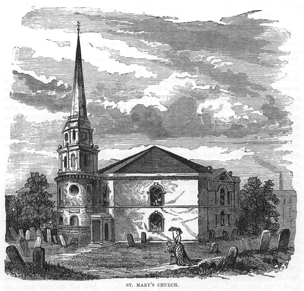
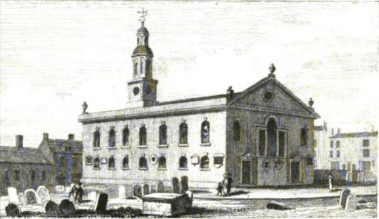
An eight-sided Georgian church with a big low roof and a small tower and spire on its western side, standing in a large churchyard north of the old town. It became the church of the gun quarter, and was demolished in the late 1920s.
History
Two new chapels
By the 1770s Birmingham was spreading north and west faster than its churches could cope. An Act of 1772 allowed two new chapels: St Mary’s, and St Paul’s in what became the Jewellery Quarter. In December 1773 an advertisement asked for designs for St Mary’s “to be built in an Octagon or any other Form … to contain 1,000 Sittings”.
Dorothy and Mary Weaman, with Lench’s Trust, gave the site, and Mary Weaman gave £1,000 and kept the right to choose the minister. The church was built in 1774. That September’s music festival raised about £800 towards finishing it. It stood in open ground on the north edge of town, and the streets soon closed in around it.
An octagon for preaching
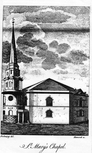
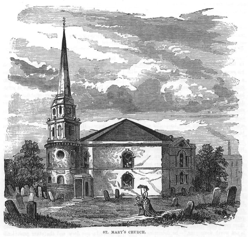
The design, by Joseph Pickford of Derby, was an octagon of brick, a shape the Victoria County History says “was considered ideal for preaching”. A low, heavy roof covered it. On the western side stood a small stone tower in three stages, the first round, the second eight-sided with Doric columns, and the third eight-sided with clock faces, from which rose a slender spire.
Not everyone liked it. Hutton’s verdict was blunt: “too little steeple, and too much roof”. Dent found the windows small and the interior “somewhat gloomy”. But it was big. With its gallery it held nearly 1,700 people.
An evangelical pulpit
St Mary’s became known for its preaching. In 1786 John Wesley heard “an admirable sermon” here. Edward Burn, minister from 1790 to 1837, was a sympathiser of Wesley’s, and J. C. Barrett “drew large congregations” until 1881.
The church of the gun quarter
In 1841 St Mary’s was given its own district. The streets around it filled with gunmakers’ homes and workshops, and the VCH calls it the church of the gun quarter. It was renovated and reopened on 16 August 1857. In 1866 the tower and spire were rebuilt “to a very similar design”, with pilasters instead of columns and a balustrade on the second stage. In 1882 the disused burial ground was turned into a public garden, St Mary’s Garden, which opened on 16 October after about £1,500 had been spent.
The hospital moves in
The same spot, then and now
1888–1913
Today
Old map: Ordnance Survey six-inch, reproduced with the permission of the National Library of Scotland (CC BY 4.0). Today: © OpenStreetMap contributors.
The General Hospital, rebuilt in Steelhouse Lane in 1894–97, was already taking the place of homes in the parish. In 1925 an Act of Parliament closed St Mary’s, pending demolition, and joined its parish to Bishop Ryder’s. The church was pulled down later in the 1920s, and its land went to the hospital.
The communion silver went to St Mary’s, Pype Hayes, in Erdington, apart from two flagons now at the Birmingham Assay Office. The octagon where Wesley heard “an admirable sermon” now lies under Birmingham Children’s Hospital, and St Mary’s Row beside it still carries the name.
Why it mattered
St Mary’s was one of two chapels built under the 1772 Act to serve the town’s fast-growing northern streets, and its octagon plan was chosen for preaching. It became a centre of evangelical preaching and the parish church of the gun quarter. Its loss to the General Hospital marks the change of this district from crowded homes and workshops to hospital buildings.
Why it disappeared
Redevelopment
As homes in the parish were cleared, the General Hospital in Steelhouse Lane needed room to grow. An Act of 1925 closed the church pending demolition and united its parish with Bishop Ryder’s. It was demolished later in the 1920s and the land became part of the hospital site.
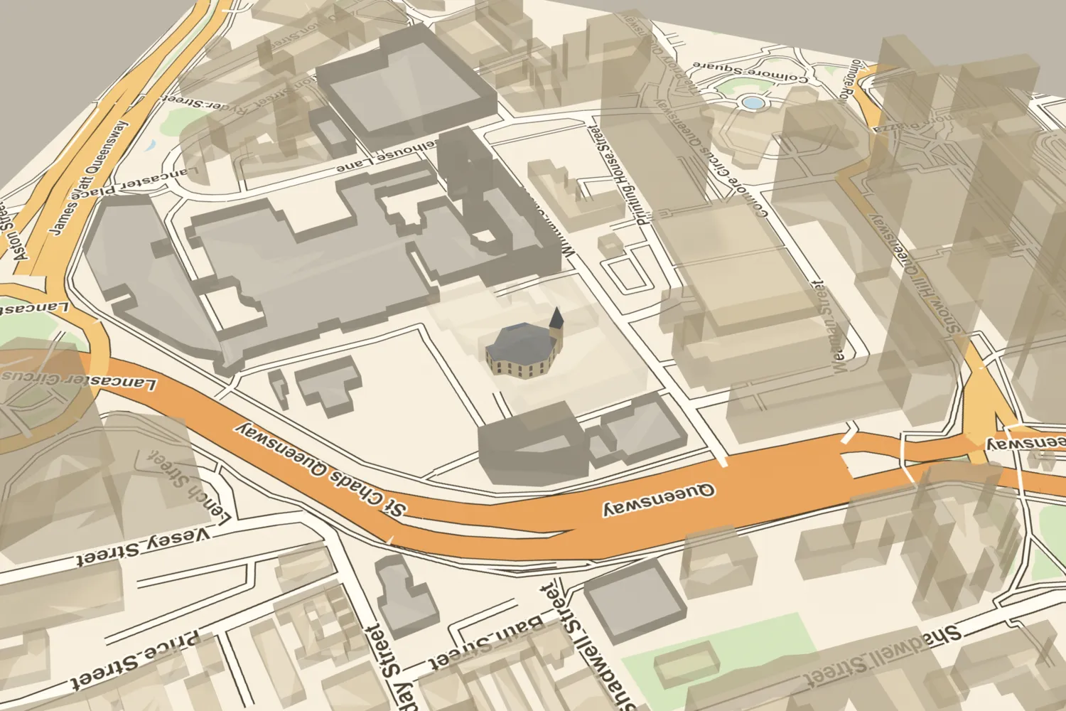
St Mary’s, Whittall Street, on today’s streets
What’s there now
What replaced it
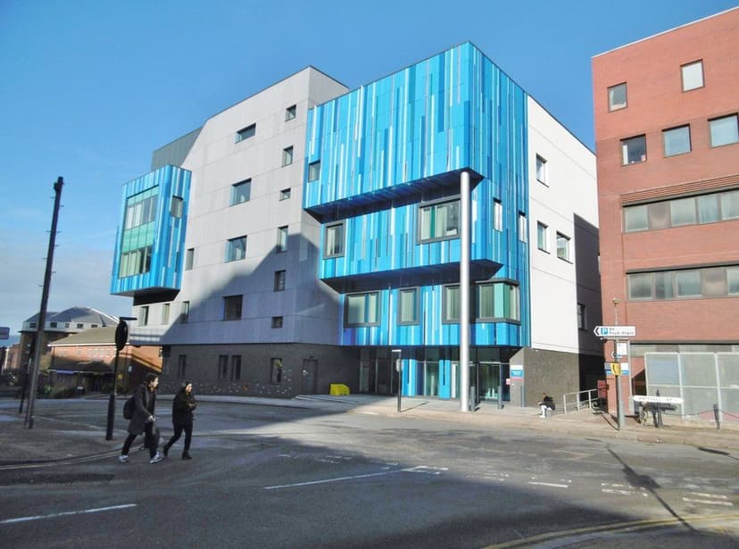
The church land went to the General Hospital, Steelhouse Lane, whose building later became Birmingham Children’s Hospital. The site is now under Waterfall House and the Institute of Child Health on Whittall Street.
What survives
Nothing on site. St Mary’s Row keeps the name. When the VCH was written in 1964 the 18th-century communion silver was at St Mary’s, Pype Hayes, except two flagons at the Birmingham Assay Office, and the registers of 1774–1812 were at St Martin’s.
Today
Walk up Whittall Street from Steelhouse Lane. Waterfall House and the Institute of Child Health, on the Birmingham Children’s Hospital campus, stand on the church site, between Whittall Street, St Mary’s Row and Weaman Row.
Then and now
Then · 1878–80
Now · 3 February 2019
Sources and further reading
No authoritative source gives the year of demolition; the VCH records only the closing Act of 1925, Wikipedia says “the 1920s” and a forum post says 1927. Capacity varies: the 1773 advertisement asked for 1,000 sittings, Pye gives 2,000, and the VCH, Dent and Showell about 1,700. Hutton called the steeple too little and Pye “diminutive”, but engravings show a tall spire; no height figure was found. The purpose of a small wing on the north-east side is not recorded. A cost of £4,700 given on Wikipedia is uncited and not used.
- A History of the County of Warwick, vol. 7: The City of Birmingham — Religious History: Churches built before 1800, pp. 361–379 — W. B. Stephens (ed.), Victoria County History, 1964. St Mary
- An History of Birmingham (2nd edition) — William Hutton, Pearson and Rollason, Birmingham (Project Gutenberg text), 1783
- Old and New Birmingham: a history of the town and its people — Robert K. Dent, Houghton and Hammond, Birmingham, 1880. pp. 170–1
- Showell’s Dictionary of Birmingham — Thomas T. Harman and Walter Showell, Cornish Brothers, Birmingham, 1885. ‘St Mary’s, Whittall Street’; ‘Recreation Grounds’
- A Description of Modern Birmingham — Charles Pye, 1818–19
- Ordnance Survey 1:500 town plan of Birmingham, 1887–88, georeferenced — National Library of Scotland, 1888. footprint traced
- Plan of the Borough of Birmingham (Pigott Smith), 1855 — J. Pigott Smith, National Library of Scotland (online), 1855
- OpenStreetMap data (Overpass and Nominatim), central Birmingham — OpenStreetMap contributors, 2026. ways 72843101 and 52065041
- St Mary’s Church, Whittall Street, Birmingham — Wikipedia. lead only
Comments
Comments will load here.