
What was here?
A water mill on the River Rea below Deritend Bridge, at the northern end of Heath Mill Lane, near today’s junction with Fazeley Street and Great Barr Street. It was the lord of Birmingham’s corn mill, later a blade mill and forge, with a mill pool that by 1839 lay north of the lane.
History
The lords’ mill
Before steam, Birmingham ground its corn with water. One of the mills of the lords of Birmingham stood on the River Rea below Deritend Bridge, at the northern end of what is still Heath Mill Lane. It is first recorded in 1526, when it was leased to Gilbert Webb.
The lords wanted their tenants’ corn ground at their own mills. In 1525 an agreement allowed corn from the manors of Birmingham and Aston to be ground at either lord’s mill, and in the early 1540s the millers, the Sherwins, were caught up in a dispute over corn carried off to the mills at Saltley and Duddeston. In 1554 the Crown leased Heath Mill to Edward Lyttleton, and it passed through a string of tenants after him.
Cooper’s Mill
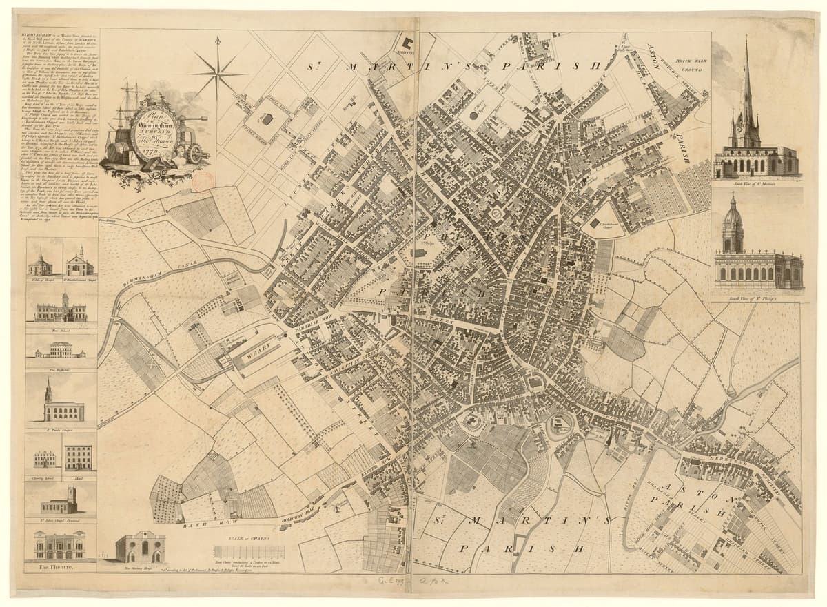
Soon after 1649 John Cooper took the lease. His family held it until the end of the eighteenth century, and the lane beside it appears as Cooper’s Mill Lane on the maps of 1751 and 1778.
The mill shaped the river. Its dam held the Rea up at Deritend, and in 1673 John Cooper was accused of raising the water so high that wagons could not use the ford beside Deritend Bridge. William Hutton thought that before the water “was pounded up to supply the mill” the river could be crossed on a few stepping stones, and that the dam “gave rise to a succession of paltry bridges”.
In 1728 William Cooper agreed to rebuild the mill within two years, and promised not to raise the water “to the damage of the Town Mill” upstream, the mill later used by the Lloyds for slitting iron. The Coopers had been scythesmiths. The mill was still grinding corn in 1756, and soon after that they may have turned it into a blade mill. Cooper’s Windmill, on the other side of the Rea, was probably worked with it.
From water to steam
The town was changing round the mill. From 1791 it made metal goods as well as flour, and a new pond was dug. In the 1790s the Warwick and Birmingham Canal was cut through the Little Park behind the mill, crossing its floodrace on an aqueduct.
In the early 1800s it was Woolley’s Mill, or Deritend Forge, worked by James Woolley, a sword cutler. By 1828 Thomas Whitmore was grinding corn there again, as Deritend Mills. By about 1841 the works ran on steam and no longer needed the pond. In 1851 the Corporation proposed carrying Fazeley Street across the pool to Heath Mill Lane, and the pool was built over. By the 1880s Walker’s wire, tube and rolling mills stood on the site.
The lane remembers
Nothing of the mill stands. The VCH thought its last remains probably went in the nineteenth-century river works. Birmingham’s Historic Environment Record lists the site, and the city’s conservation appraisal says remains of the mill and its water works may survive under the raised ground of the Rea valley.
The painter David Cox was born in a humble house in Heath Mill Lane on 29 April 1783, the son of a smith.
For more than three hundred years this mill decided how high the Rea stood at Deritend, and how hard it was to cross. The wheel and the pool have gone, but the lane that led to them still carries the mill’s name across every map of Digbeth.
Why it mattered
Heath Mill was one of the Rea mills that ground Birmingham’s corn for the lords of the manor, recorded from 1526. Its dam controlled the river at Deritend and so the town’s main crossing. Its change from corn mill to blade mill, forge and steam-powered works traces Birmingham’s move from water power to metalworking and steam.
Why it disappeared
Redevelopment
By about 1841 the works ran on steam and the pool was no longer needed. Fazeley Street was carried across it from 1851, and the old mill buildings were absorbed into factory premises, later Walker’s wire, tube and rolling mills. The VCH thought the remains of the water mill probably went in the nineteenth-century river works.
What’s there now
What replaced it
Walker’s wire, tube and rolling mills (by 1887–88); now workshops and yards north-west of the Heath Mill Lane and Fazeley Street junction, in the Warwick Bar Conservation Area.
What survives
Nothing above ground. The name survives in Heath Mill Lane. Buried remains of the mill and its water works may survive (Birmingham Historic Environment Record MBM1741).
Today
Walk to the northern end of Heath Mill Lane, where it meets Fazeley Street and Great Barr Street. The mill and its pool lay just to the north-west, among today’s workshops and yards, close to where the Grand Union Canal crosses the Rea.
Then and now
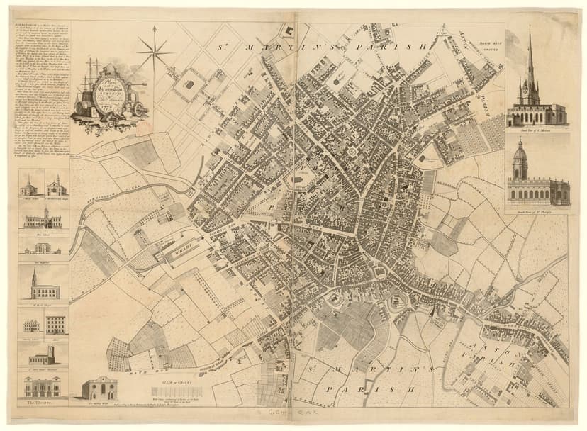
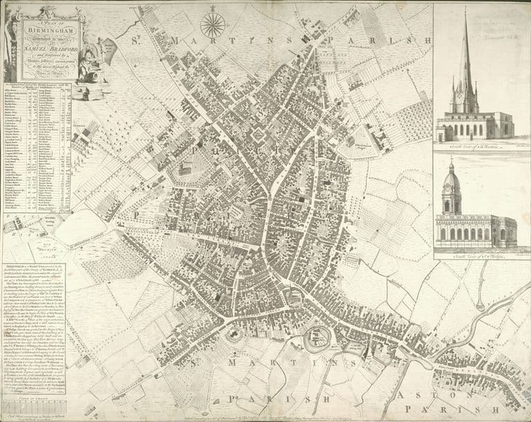
Then · 1778
Now · 16 June 2020
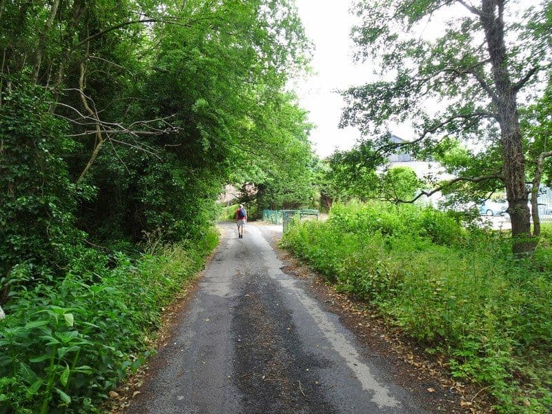
Today
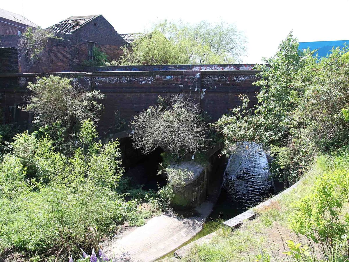
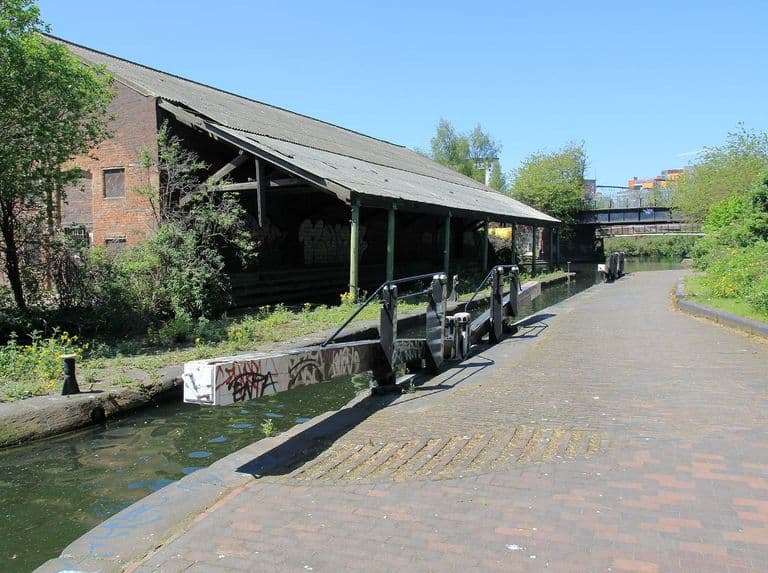
Aqueduct over the River Rea, 25 May 2012David P Howard, 25 May 2012. Geograph Britain and Ireland via Wikimedia Commons · CC BY-SA 2.0
Sources and further reading
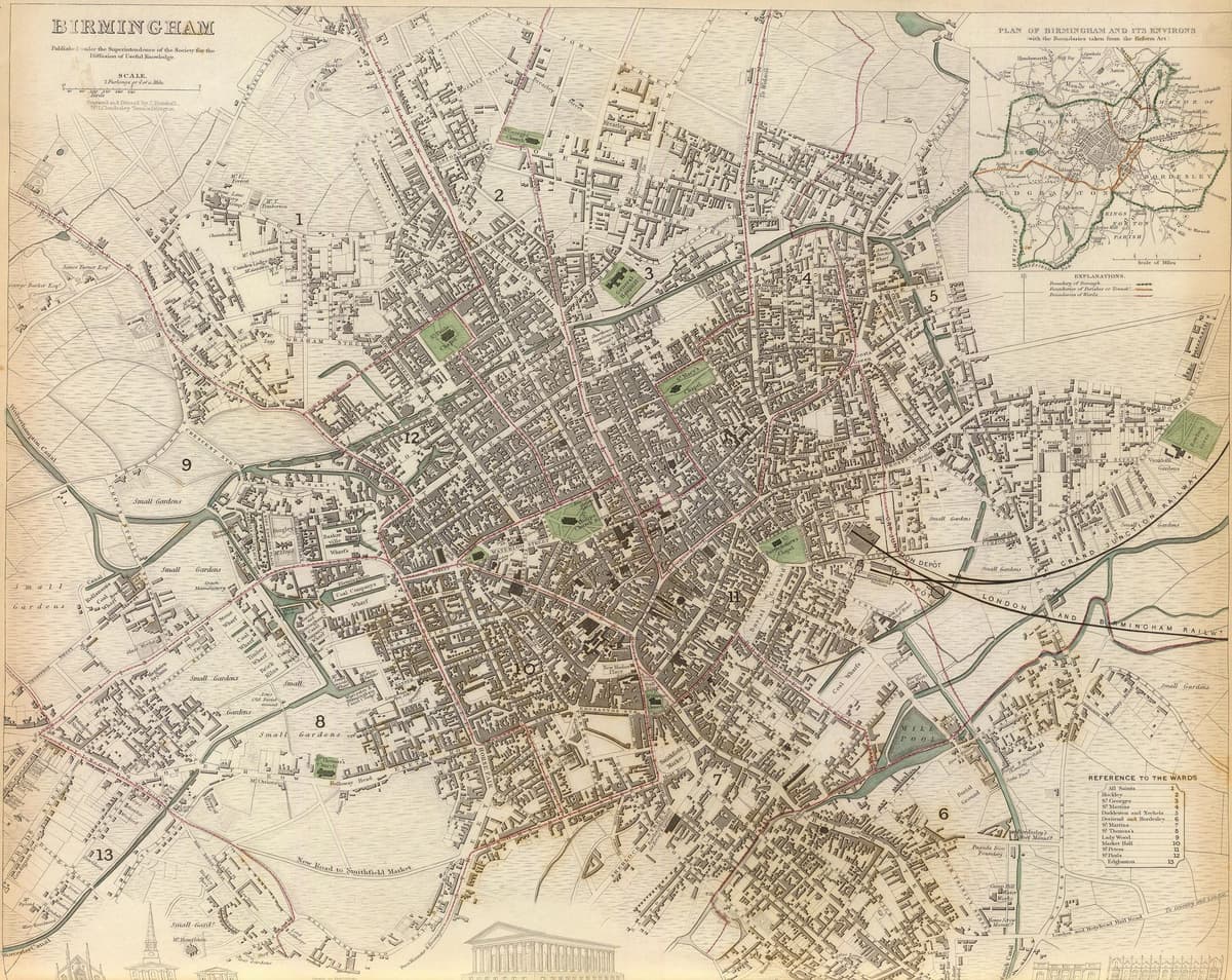
The mill’s exact position is not known. No accurate large-scale map shows the building: Pigott Smith’s supplementary sheet for this area was not available, and the 1839 map is small-scale. The point is placed at the east end of the 1839 Mill Pool, at general accuracy (about ±50 m). Hutton’s “400 yards below” the bridge would put it a little further west.
The city’s 2008 appraisal says the mill made metal goods from 1791 and went over to steam about 1841; the VCH records corn milling again in 1828–35. Both may be true of different parts of the premises. Hutton’s statement that the mill was sold off from the manor in 1730 is not in the VCH. W. Barrow’s paper on Heath Mill (Transactions of the Birmingham Archaeological Society, vol. lii) has not been consulted. The Historic Environment Record entry (MBM1741) was not seen directly.
- Economic and Social History: Mills, in A History of the County of Warwick, vol. 7, pp. 253–269 — W. B. Stephens (ed.), Victoria County History, 1964. ‘Heath Mill’ and ‘Cooper’s Windmill’
- Warwick Bar Conservation Area Character Appraisal and Supplementary Planning Policies — Birmingham City Council, 2008. §§3–4 and Map 2 (MBM1741)
- An History of Birmingham (2nd edition) — William Hutton, Pearson and Rollason, Birmingham (Project Gutenberg text), 1783. ‘Deritend Bridge’ and the boundary walk
- Showell’s Dictionary of Birmingham — Thomas T. Harman and Walter Showell, Cornish Brothers, Birmingham, 1885. ‘Cox, David’
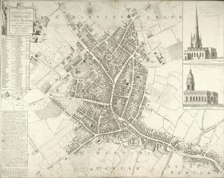
- A Plan of Birmingham surveyed in 1750 by Samuel Bradford, engraved by Thomas Jefferys — Samuel Bradford, Thomas Jefferys, London, 1751
- Plan of Birmingham, survey’d by Thomas Hanson — Thomas Hanson, 1778. Ref. Bibliothèque nationale de France copy
- Birmingham (Society for the Diffusion of Useful Knowledge map) — J. Henshall (engraver), 1839. the uncropped 1839 map: ‘Mill Pool’
- Ordnance Survey 1:500 town plan of Birmingham, 1887–88, georeferenced — National Library of Scotland, 1888. ‘Wire, Tube & Rolling Mills’
- OpenStreetMap data (Overpass and Nominatim), central Birmingham — OpenStreetMap contributors, 2026
Comments
Comments will load here.