
What was here?
A water-powered mill on a pool fed from the River Rea and the old manor moat, just south of Digbeth by Mill Lane. In the eighteenth century it was the Lloyds’ slitting mill, which cut bar iron into rods for nail-making. Nothing of it survives.
History
The Town Mill
The Town Mill was built about 1549 by William Askerick as the manor’s corn mill, worked by water from the manor pool and the Rea. In the seventeenth century Robert Porter made it a blade mill, and in 1643 Prince Rupert’s royalist troops destroyed it, allegedly because it made swords for Parliament.
The slitting mill
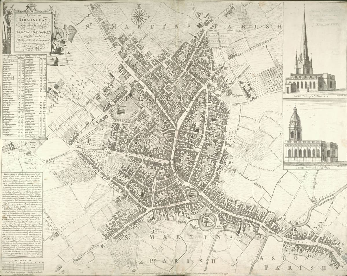
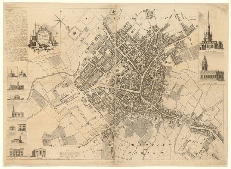
Rebuilt, it was used in the early eighteenth century as a slitting mill by the Farmers, a Quaker family of ironmongers. James Farmer paid rent for it in 1720 and Joseph Farmer took a lease in 1728. By 1731 Charles Lloyd held it, as “Lloyd’s Slitting and Corn Mills”, and it was still Lloyd’s Slitting Mill later in the century. Samuel Bradford’s map of 1751 shows its large pool between the moat of the old manor house and Mill Lane, labelled “C. Lloyd’s Slitting Mill”.
In July 1755 London visitors described what went on inside. Water-driven shears cut iron bars into foot-long pieces. These were heated red hot, rolled out to about four feet and then passed between grooved rollers that cut each one into about eight square rods, which were tied in bundles for the nailers.
The end
In 1808 Gibson and Shore, ironmasters, were still slitting iron here, but by 1821 it was a corn mill again. It may have been a metal mill in 1828–29. It does not appear on maps after 1839. The Victoria County History thought its site was probably under the meat market at the end of Mill Lane, opened in 1897.
What happened here?
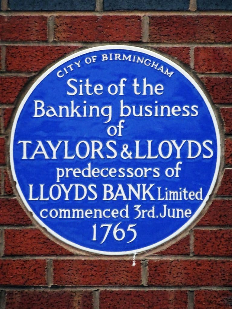
From at least 1731 the Lloyd family slit bar iron into nail rods here with water-powered shears and rollers. The profits of iron helped make the Lloyds rich enough to found Birmingham’s first bank in 1765.
Why it mattered
Birmingham’s nailers could not work without rod iron, and slitting it was the hardest, most capital-hungry step in the trade. Mills like this were the heavy industry behind the town’s small workshops, and this one helped launch Lloyds Bank.
Why it disappeared
Redevelopment · Industrial decline
Water-powered slitting gave way to bigger rolling mills and steam power. The mill went back to grinding corn, disappeared from maps after 1839, and its pool and site were later covered by the city’s markets.
The same spot, then and now
1888–1913
Today
Old map: Ordnance Survey six-inch, reproduced with the permission of the National Library of Scotland (CC BY 4.0). Today: © OpenStreetMap contributors.
What’s there now
What replaced it
Nineteenth-century streets and, from 1897, the city’s markets around Mill Lane and Moat Lane.
What survives
Nothing above ground. Mill Lane keeps the mill’s name.
Today
The area between Mill Lane, Moat Lane and Digbeth, on the edge of the former wholesale markets site.
Key dates
- c. by 1731 — The Lloyds’ slitting mill at work on the ReaThe Quaker Lloyd family hold the old Town Mill below Digbeth as ‘Lloyd’s Slitting and Corn Mills’, slitting bar iron into rods for Birmingham’s nailers. Iron profits later helped found Taylors & Lloyds bank.
Sources and further reading
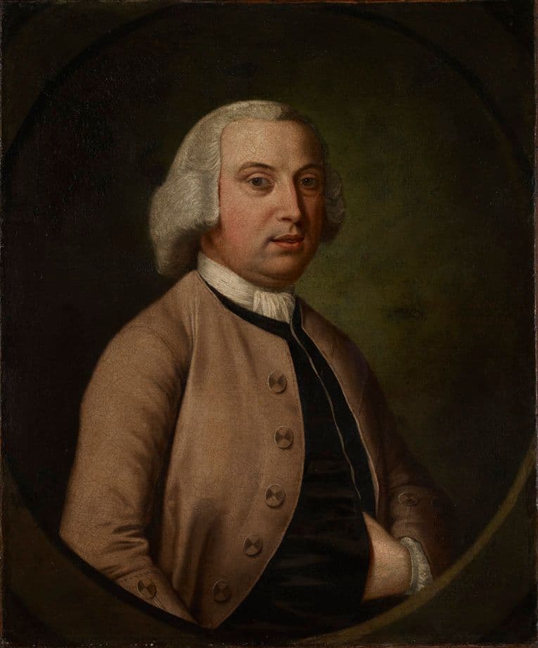
The exact site is not certain. The point is placed on the 1751 pool, between Mill Lane and the old moat, from Bradford’s map; the Victoria County History says only that the site is ‘probably’ under the meat market of 1897. Samuel Lloyd’s family history (1907) says the Lloyds ‘erected’ the mill at the bottom of Bradford Street and elsewhere calls it the mill in ‘Moat Row’; the VCH shows it was an older mill they took over. The 1731 and 1751 records name Charles Lloyd, Sampson Lloyd II’s elder brother.
- Economic and Social History: Mills, in A History of the County of Warwick, vol. 7, pp. 253–269 — W. B. Stephens (ed.), Victoria County History, 1964. Town Mill
- Economic and Social History: Industry and Trade, 1500–1880, in A History of the County of Warwick, vol. 7, pp. 81–139 — W. B. Stephens (ed.), Victoria County History, 1964. ‘1640–1760’, nail trade and slitting mills
- A Plan of Birmingham surveyed in 1750 by Samuel Bradford, engraved by Thomas Jefferys — Samuel Bradford, Thomas Jefferys, London, 1751
- The Lloyds of Birmingham, with some account of the founding of Lloyds Bank — Samuel Lloyd, Cornish Brothers, Birmingham, 1907. pp. 22–26
Comments
Comments will load here.