
7 pairs
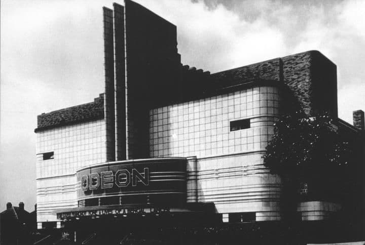
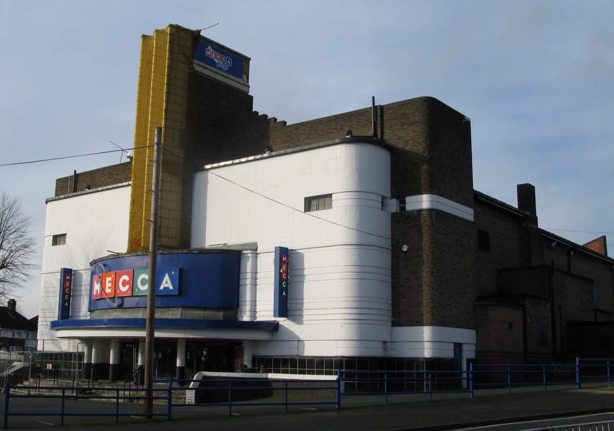
The Odeon, 1935 and 2014
The Odeon, from Harry Weedon’s practice, opened on 22 July 1935. It closed as a cinema in 1962 and became a bingo hall — and its fins still rise over the Circle.
1935: Library of Birmingham, Local Studies and History Department, Handsworth Historical Society (3/1338) · 2014: Brianboru100, 2014 · CC BY-SA 3.0
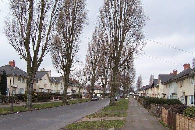
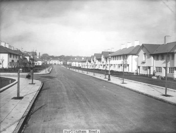
Hurlingham Road, 1932 and 2005
Brand new in January 1932, with bare verges and young street lamps. By 2005 the same view had become a tree-lined avenue.
The 1932 pictureThe 2005 picture
1932: Library of Birmingham, Local Studies and History Department, LSH Warks Photo Survey WK-K10-0022 (3/1253) · 2005: Photo: Adrian Bailey, CC BY-SA 2.0, via Geograph / Wikimedia Commons
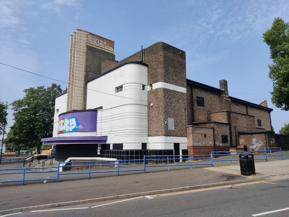
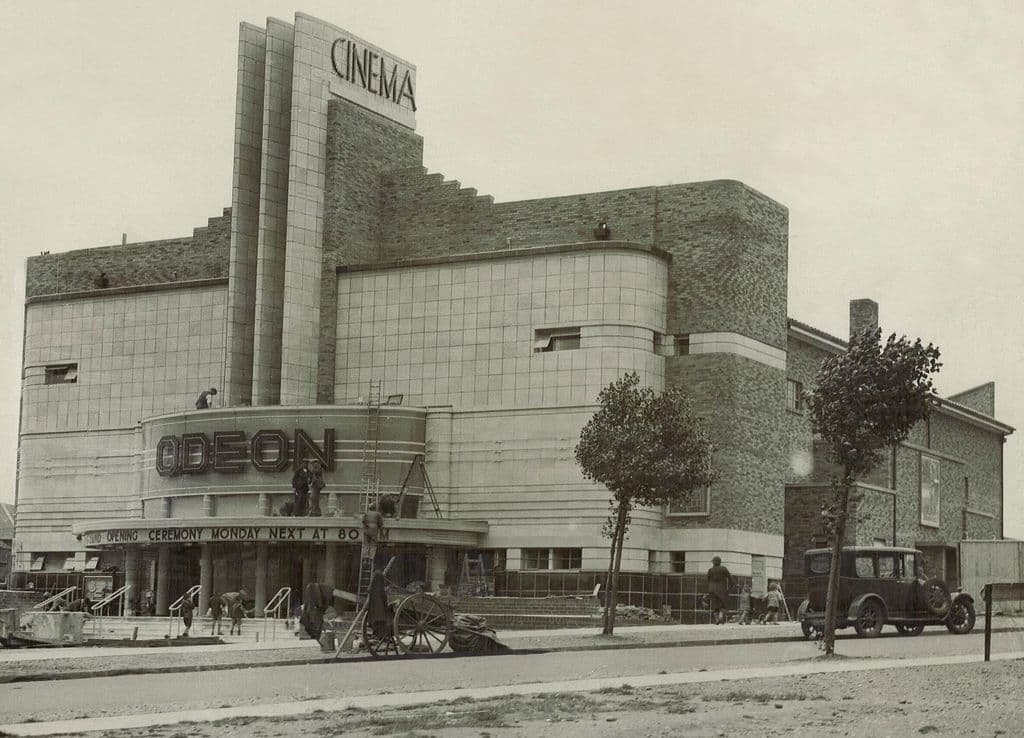
The Odeon, July 1935 and 2026
Days before it opened in July 1935, workmen were still busy outside the Odeon while the canopy promised a “Grand Opening Ceremony Monday Next at 8”. Ninety-one years later the tower and curved white corner still stand on the Circle.
1935: Photographer unknown, via Wikimedia Commons. Public domain · 2026: Andy Mabbett, July 2026 · CC BY-SA 4.0
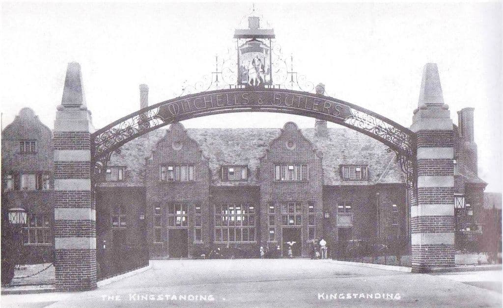
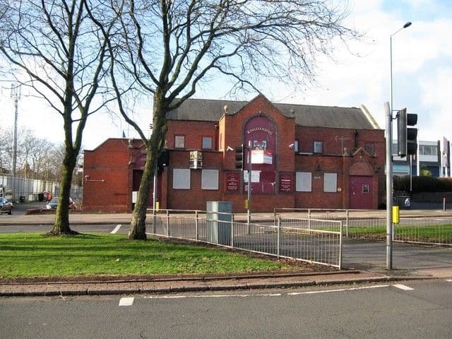
The Kingstanding pub, 1936 and 2018
In 1936 “The Kingstanding” stood behind a great wrought-iron arch lettered Mitchells & Butlers, under a sign of a rider on a white horse. The pub was rebuilt more than once on the same corner; the last one was closed and for sale in 2018 and burnt out a year later.
The Kingstanding pubThe 1936 pictureThe 2018 picture
1936: Postcard, 1936; publisher and photographer unknown · 2018: © Martin Richard Phelan, CC BY-SA 2.0 (Geograph)
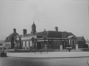
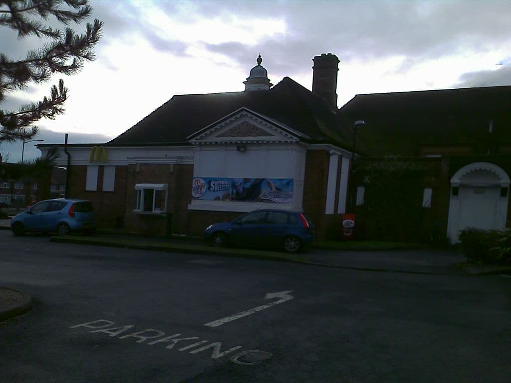
The College Arms, 1930s and 2010
In the early 1930s the College Arms’ assembly room doubled as a church for the new Christ the King parish. The building with its little domed cupola survives on College Road — as a McDonald’s.
The College ArmsThe 1930s pictureThe 2010 picture
1930s: Photo: Birmingham History Forum (“out of copyright”, as credited on Voices of Kingstanding). Reproduced via Chris Hillcox, Voices of Kingstanding. · 2010: Image reproduced with permission of Chris Hillcox, Voices of Kingstanding.
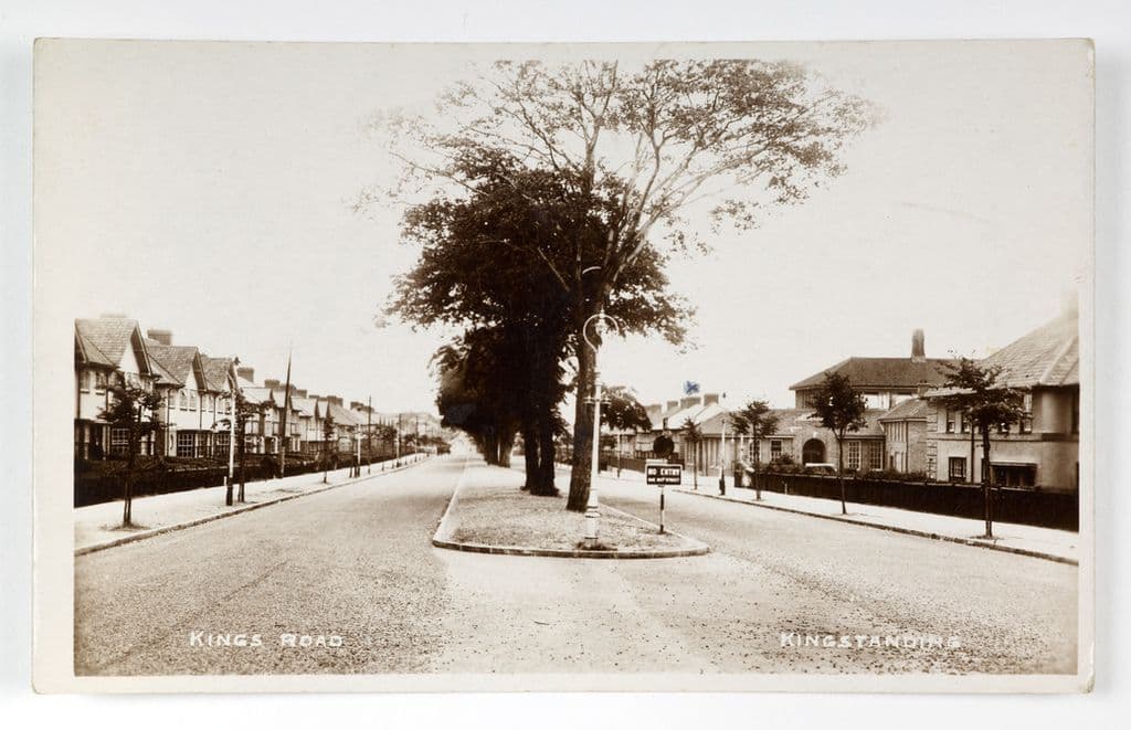
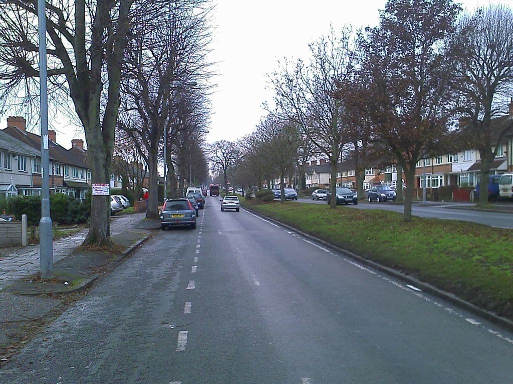
Kings Road, 1930s and 2010
Kings Road on a 1930s postcard: new houses on both sides and young trees on the central island. By 2010 those trees lined a long dual carriageway with a wide grass reservation.
The 1930s pictureThe 2010 picture
1930s: Photo by Birmingham Museums Trust, licensed under CC0 · 2010: Image reproduced with permission of Chris Hillcox, Voices of Kingstanding.
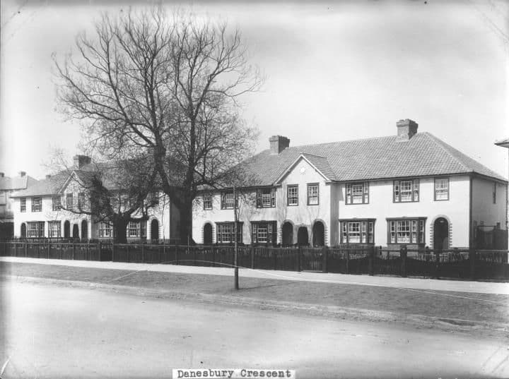
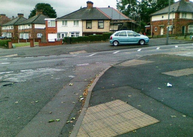
Danesbury Crescent, 1932 and 2011
New rendered houses on Danesbury Crescent, off Hurlingham Road, built by Birmingham’s Public Works Department and photographed in 1932 behind their timber fences. The crescent’s houses still face the road junction.
The 1932 pictureThe 2011 picture
1932: Library of Birmingham, Local Studies and History Department, LSH WK K10 0027 (3/1258) · 2011: Photo: Alex McGregor, CC BY-SA 2.0, via Geograph / Wikimedia Commons
Help us finish the set
These archive photographs don’t have a partner yet. If you pass one of these spots, stand where the old photographer stood, take the view today and send it to us — we’ll pair them up here, credited to you.
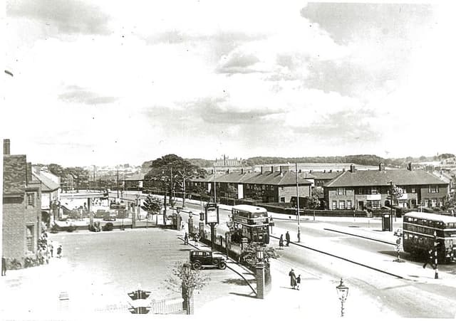 The Crossways pub and College Road, 19381938 · The Crossways, College Road
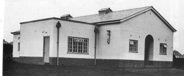 The Kingstanding Settlement buildingDate unknown · Kingstanding Settlement, Kingstanding
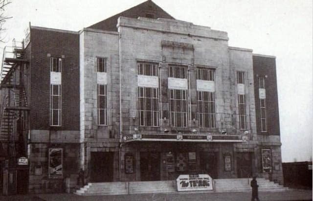 The Mayfair cinema, College RoadDate unknown · Mayfair cinema, 482 College Road, Perry Common
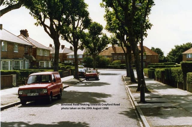 Binstead Road looking towards Crayford Road, 198829 August 1988 · Binstead Road, Kingstanding
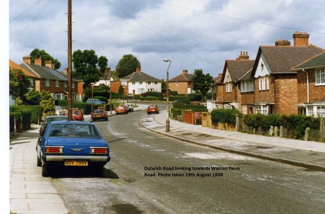 Dulwich Road looking towards Warren Farm Road, 198829 August 1988 · Dulwich Road, Kingstanding
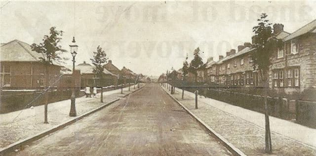 Hornsey Road, 19481948 · Hornsey Road, Kingstanding
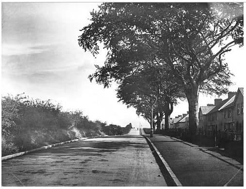 Rough Road, 19321932 · Rough Road, Kingstanding
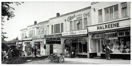 Hawthorn Road shops, 19571957 · Hawthorn Road shops, Kingstanding
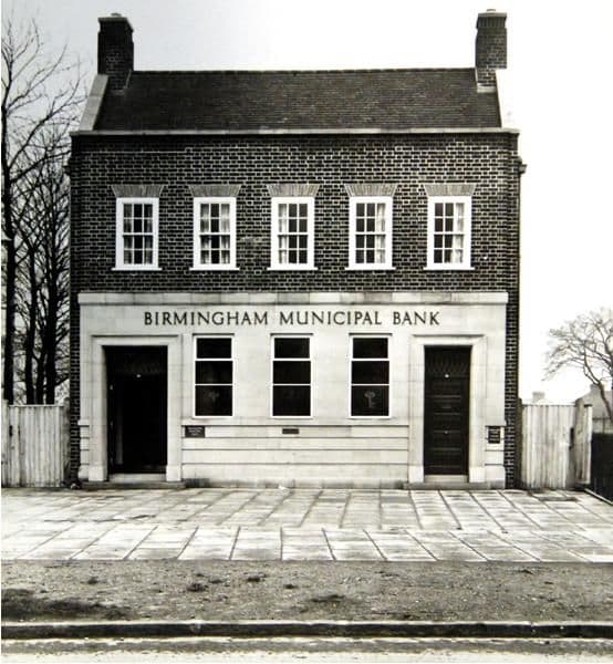 Birmingham Municipal Bank, Kingstanding Road, 19371937 · Birmingham Municipal Bank, Kingstanding Road, Kingstanding
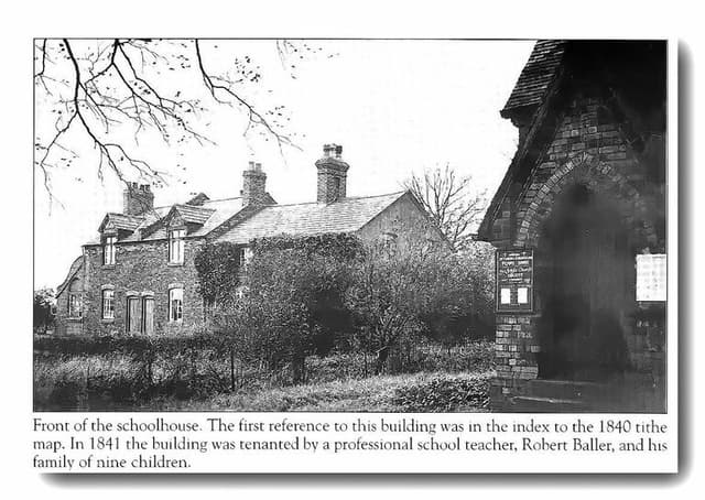 The old schoolhouse by the church, OscottPhotograph undated; building recorded 1840 · Shady Lane, Old Oscott
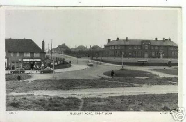 Queslett Road, Great Barr (postcard)c. late 1950s–1960s · Queslett Road, Great Barr
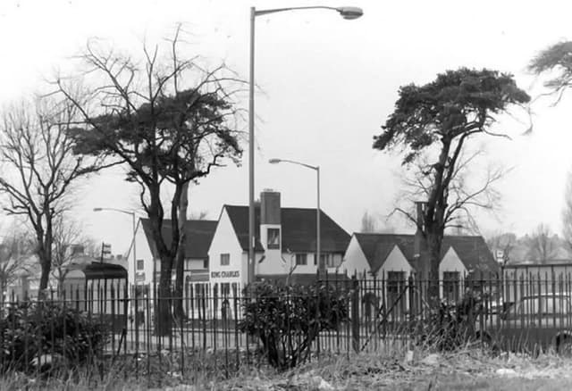 The King Charles pub, seen through the railingsUndated (probably 1960s–70s) · Kings Road
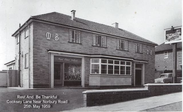 The Rest and Be Thankful, Cooksey Lane, 195925 May 1959 · Cooksey Lane near Norbury Road
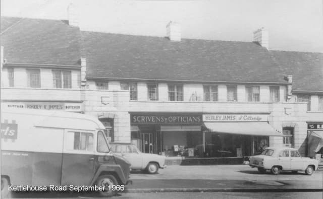 Shops on Kettlehouse Road, September 1966September 1966 · Kettlehouse Road
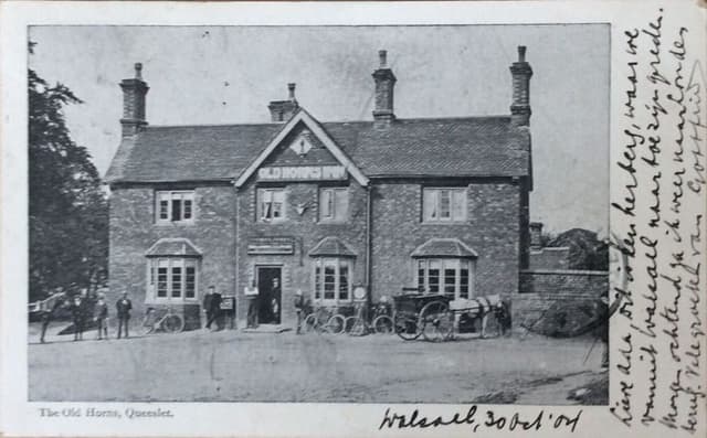 The Old Horns, Queslett, 1904 (postcard)Posted 30 October 1904 · The Old Horns, Queslett
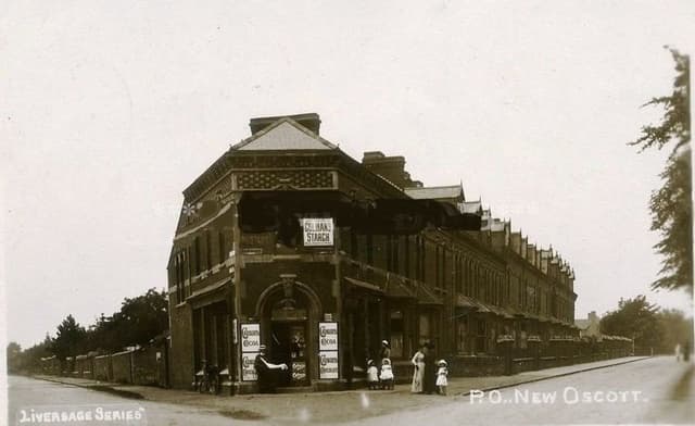 The post office at New Oscott, 1903 (postcard)1903 · Kings Road and Chester Road corner, New Oscott
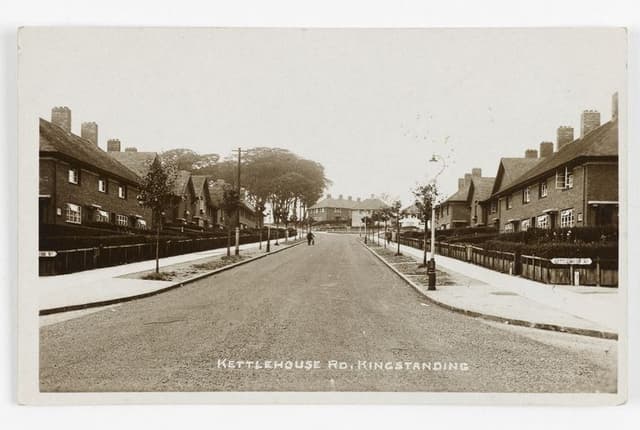 Kettlehouse Road, Kingstanding (postcard)c. 1930s · Kettlehouse Road, Kingstanding
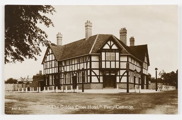 The Golden Cross Hotel, Perry Common (postcard)c. 1930s · The Golden Cross, Perry Common
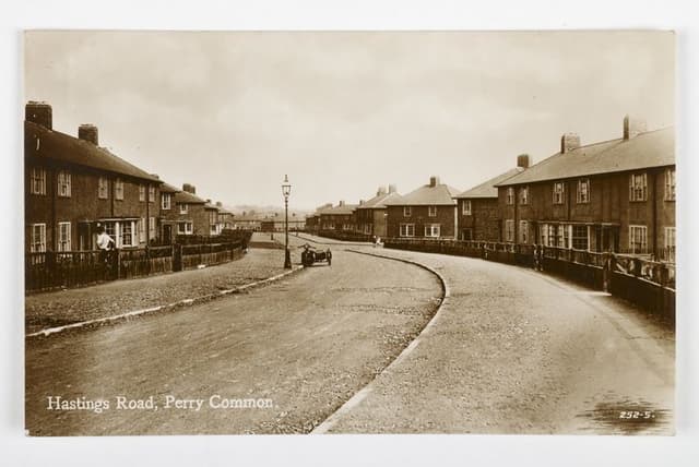 Hastings Road, Perry Common (postcard)c. 1930s · Hastings Road, Perry Common
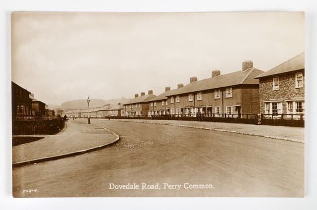 Dovedale Road, Perry Common (postcard)c. 1930s · Dovedale Road, Perry Common
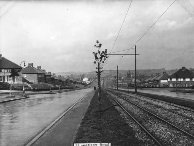 Streetly Road1930 · Streetly Road, Kingstanding
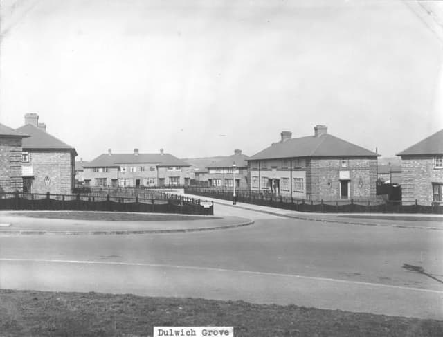 Dulwich Grove1931 · Dulwich Grove, Kingstanding
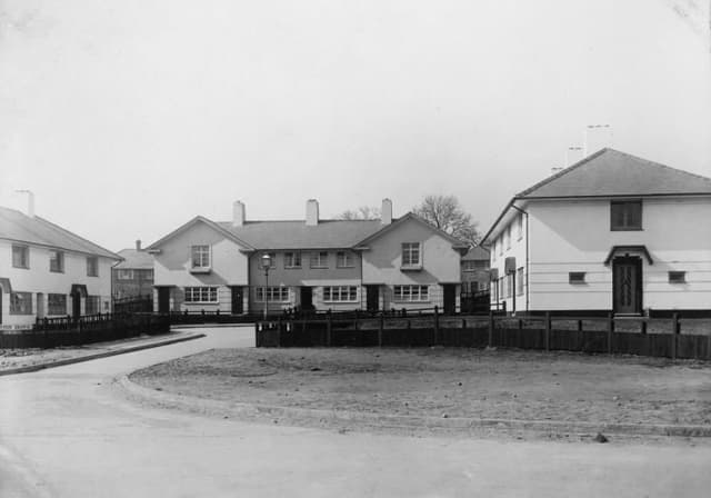 Leyton Grove1931 · Leyton Grove, Kingstanding
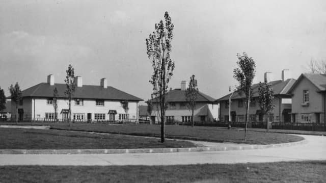 Greenwood Place1932 · Greenwood Place, Kingstanding
Comments
Comments will load here.