
2 pairs
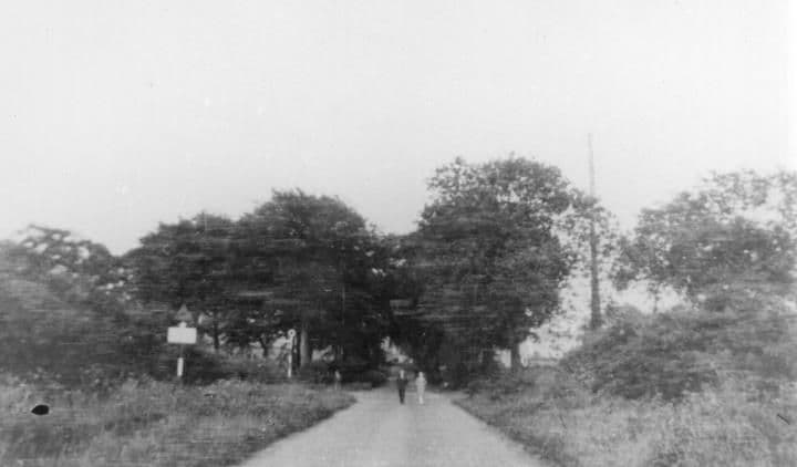
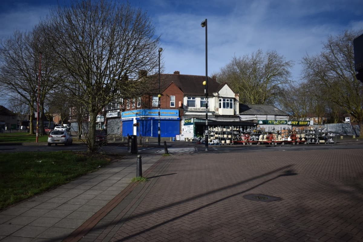
The Circle, 1923 and today
In 1923 it was a country lane looking east towards Sutton Coldfield. Within a few years it became the busy heart of the estate.
Kingstanding CircleThe 1923 picture
1923: Library of Birmingham, Local Studies and History Department, LSH WPS WK-K10-0068 (3/1294) · Today: Martin Richard Phelan · CC BY-SA 2.0
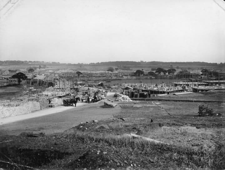
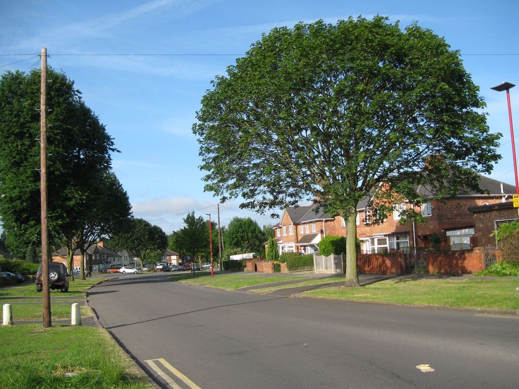
Harringay Road, 1929 and 2014
On 19 October 1929 Harringay Road was a building site of rough ground, horse-drawn carts and half-built houses. In 2014 it curves between grass verges under a big tree in full leaf.
The 1929 pictureThe 2014 picture
1929: Library of Birmingham, Local Studies and History Department, LSH WK K10 0060 (3/1286) · 2014: Photo: Martin Richard Phelan, CC BY-SA 2.0, via Geograph / Wikimedia Commons
Help us finish the set
These archive photographs don’t have a partner yet. If you pass one of these spots, stand where the old photographer stood, take the view today and send it to us — we’ll pair them up here, credited to you.
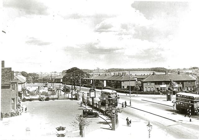 The Crossways pub and College Road, 19381938 · The Crossways, College Road
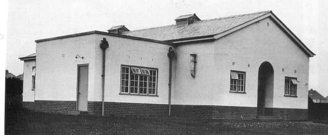 The Kingstanding Settlement buildingDate unknown · Kingstanding Settlement, Kingstanding
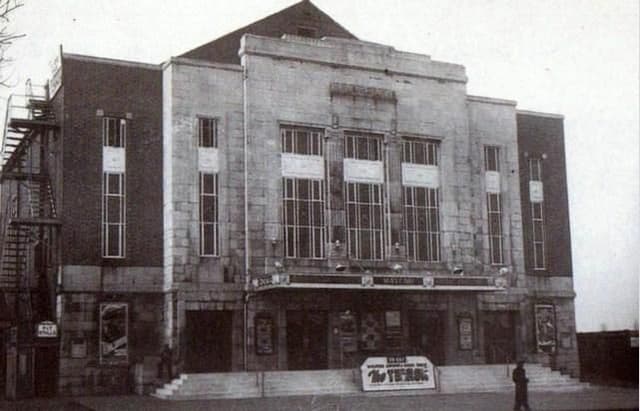 The Mayfair cinema, College RoadDate unknown · Mayfair cinema, 482 College Road, Perry Common
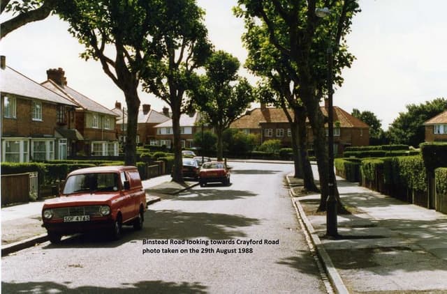 Binstead Road looking towards Crayford Road, 198829 August 1988 · Binstead Road, Kingstanding
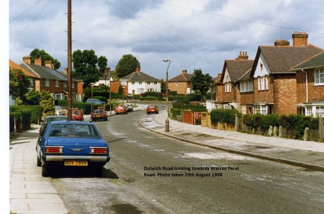 Dulwich Road looking towards Warren Farm Road, 198829 August 1988 · Dulwich Road, Kingstanding
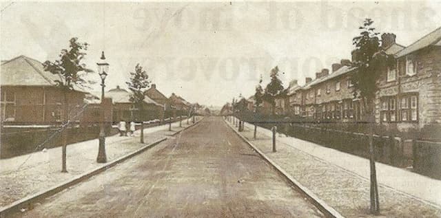 Hornsey Road, 19481948 · Hornsey Road, Kingstanding
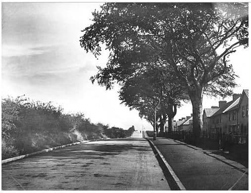 Rough Road, 19321932 · Rough Road, Kingstanding
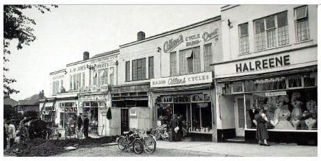 Hawthorn Road shops, 19571957 · Hawthorn Road shops, Kingstanding
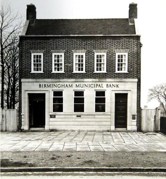 Birmingham Municipal Bank, Kingstanding Road, 19371937 · Birmingham Municipal Bank, Kingstanding Road, Kingstanding
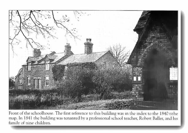 The old schoolhouse by the church, OscottPhotograph undated; building recorded 1840 · Shady Lane, Old Oscott
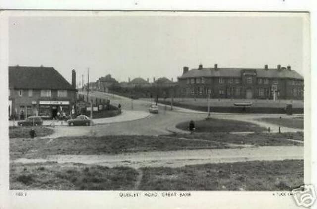 Queslett Road, Great Barr (postcard)c. late 1950s–1960s · Queslett Road, Great Barr
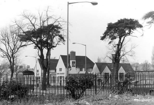 The King Charles pub, seen through the railingsUndated (probably 1960s–70s) · Kings Road
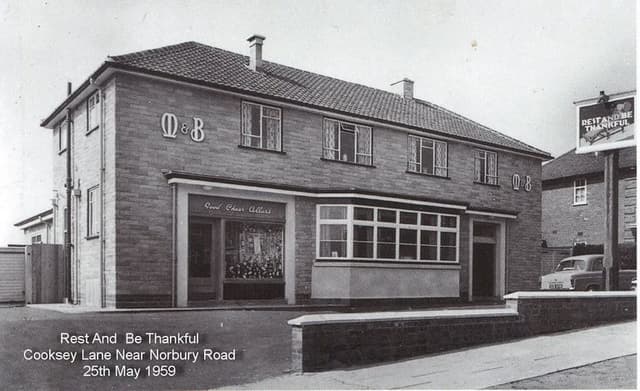 The Rest and Be Thankful, Cooksey Lane, 195925 May 1959 · Cooksey Lane near Norbury Road
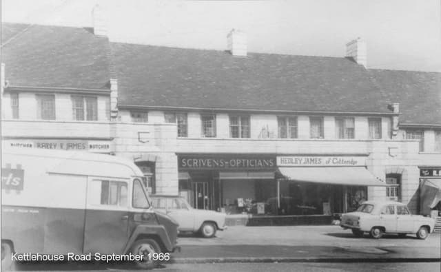 Shops on Kettlehouse Road, September 1966September 1966 · Kettlehouse Road
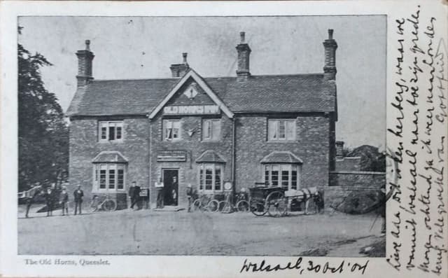 The Old Horns, Queslett, 1904 (postcard)Posted 30 October 1904 · The Old Horns, Queslett
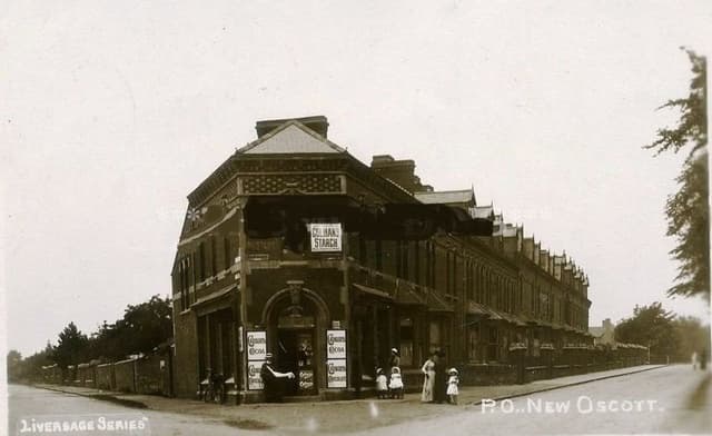 The post office at New Oscott, 1903 (postcard)1903 · Kings Road and Chester Road corner, New Oscott
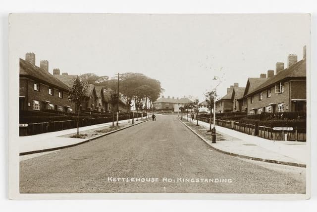 Kettlehouse Road, Kingstanding (postcard)c. 1930s · Kettlehouse Road, Kingstanding
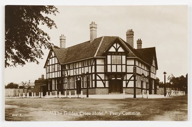 The Golden Cross Hotel, Perry Common (postcard)c. 1930s · The Golden Cross, Perry Common
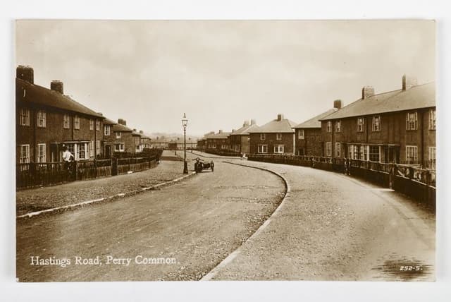 Hastings Road, Perry Common (postcard)c. 1930s · Hastings Road, Perry Common
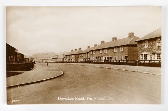 Dovedale Road, Perry Common (postcard)c. 1930s · Dovedale Road, Perry Common
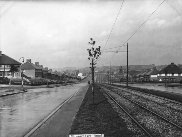 Streetly Road1930 · Streetly Road, Kingstanding
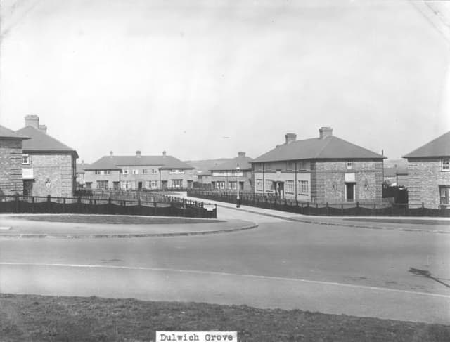 Dulwich Grove1931 · Dulwich Grove, Kingstanding
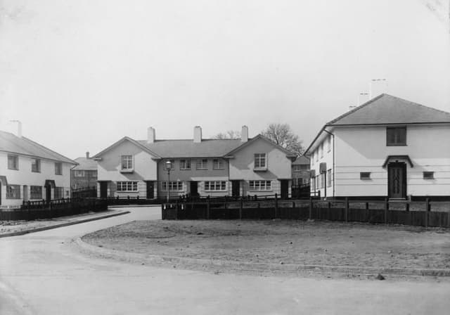 Leyton Grove1931 · Leyton Grove, Kingstanding
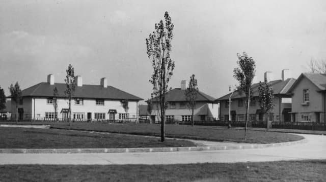 Greenwood Place1932 · Greenwood Place, Kingstanding
Comments
Comments will load here.