
What was here?
A large roundabout at the meeting of the ring road, Corporation Street and the roads north to Aston, beside the Central Fire Station.
History
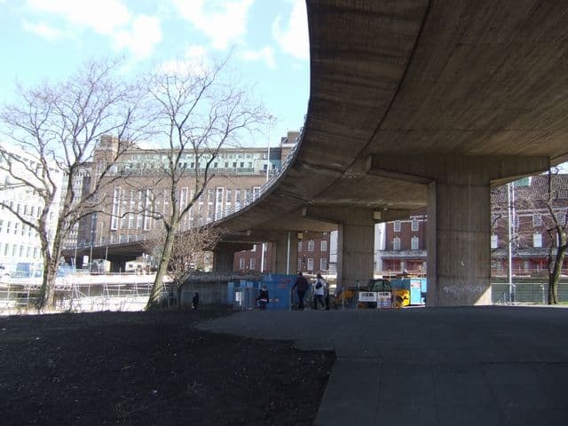
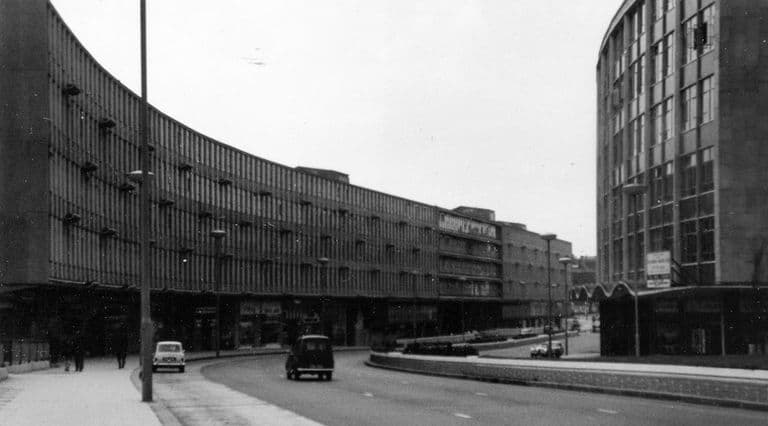
The section of ring road from Carrs Lane to the Central Fire Station at Lancaster Circus is said to have opened in June 1965. In 1972 the Aston Expressway opened, carrying the A38 to the M6, and Lancaster Circus gained an elevated section of it “in a graceful curve, on massive concrete supports”, as Keith Jordan put it. Below, the ground was landscaped on several levels and crossed by paths reached only through subways lined with patterned tiles. No murals were commissioned here.
Why it mattered
Lancaster Circus is where Manzoni’s inner ring met the motorway age, and it is one of the few junctions that still looks much as built.
The same spot, then and now
1888–1913
Today
Old map: Ordnance Survey six-inch, reproduced with the permission of the National Library of Scotland (CC BY 4.0). Today: © OpenStreetMap contributors.
What’s there now
What survives
The roundabout and the A38 flyover.
Today
The A38 Lancaster Circus flyover still carries traffic between the city centre and the Aston Expressway; James Watt Queensway passes beneath.
Key dates
- 1972 — Aston Expressway reaches Lancaster CircusThe Aston Expressway opens, linking the ring road to the M6. Its elevated section sweeps over Lancaster Circus on concrete supports.
Sources and further reading
The June 1965 opening rests on a Birmingham Post report cited on Wikipedia and has not been checked. Changes to the subways and paths since 2006 have not been documented here.
- The Inner Ring Road, Underpasses & Murals of Birmingham — Keith M. Jordan, Sutton Coldfield Local History Research Group, 2006. pp. 21–22
- Ring Road: Birmingham and the Collapse of the Motor City Ideal in 1970s Britain — Simon Gunn, The Historical Journal 61 (2018), 227–248 (author accepted manuscript, University of Leicester repository), 2018
- Masshouse — Wikipedia — Wikipedia contributors, Wikipedia
Comments
Comments will load here.