
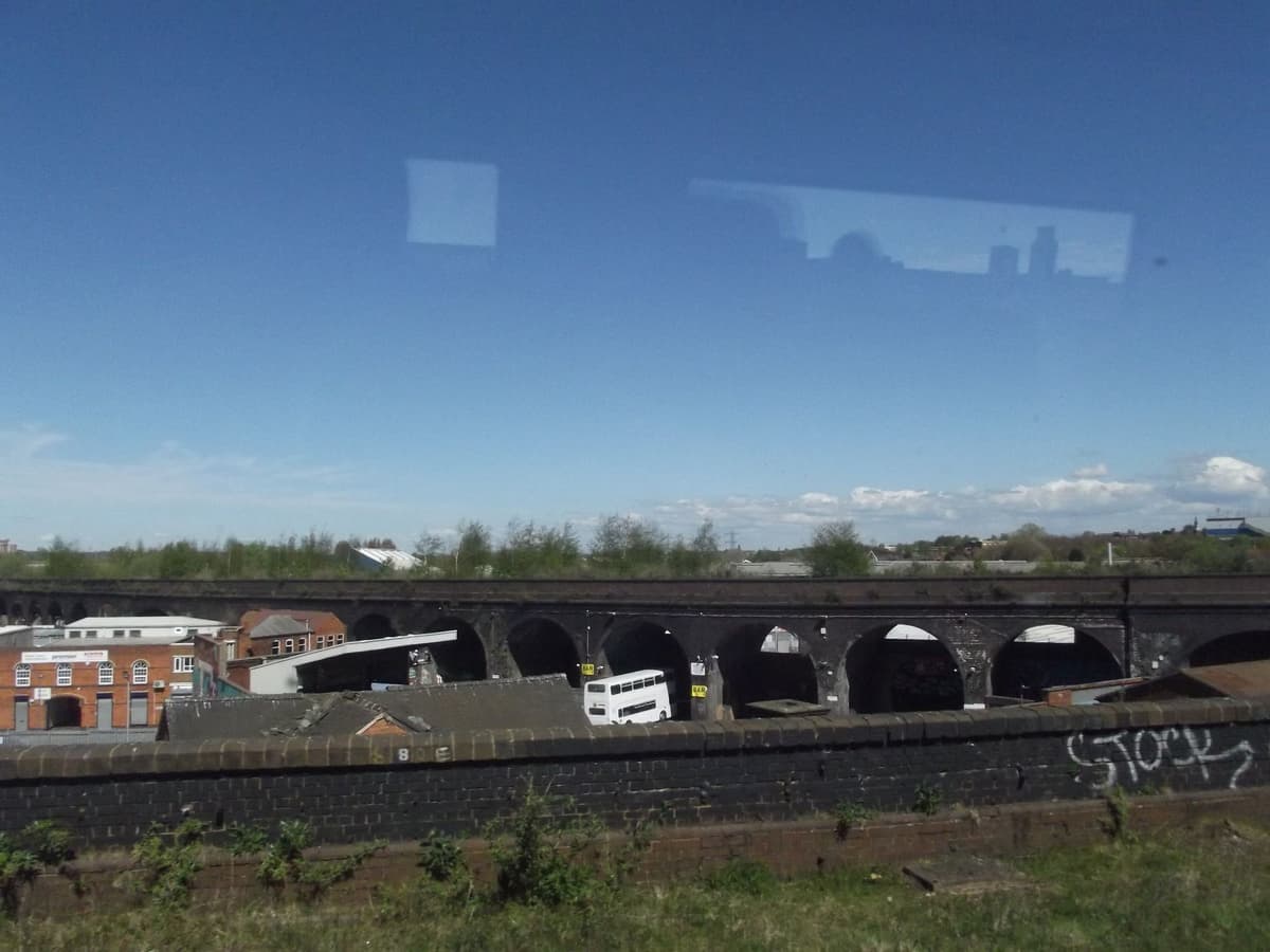
What is it?
A curving brick viaduct of round arches running north from the Great Western main line near Bordesley station, across the streets of Digbeth, towards the London & North Western lines near Curzon Street. It was built for a junction that was never made.
History
A line to Curzon Street
In the railway mania of 1846 Parliament authorised the Birmingham & Oxford Junction Railway, a line meant to break the London & Birmingham’s hold on the town. Its Act required a link with the London & North Western at Curzon Street. The link was to run on a brick viaduct from Bordesley, striding over the streets of Digbeth to the Curzon Street lines.
Work began about 1848, the year the Great Western Railway is said to have won control of the Birmingham & Oxford after a legal fight with the LNWR. Secondary accounts say the GWR’s engineer, I. K. Brunel, reported in February 1853 that the works had reached the LNWR’s boundary.
The junction that never was
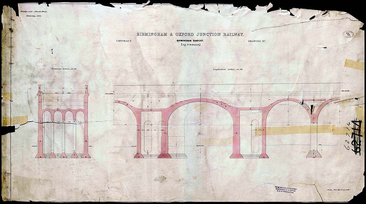
By then neither company wanted the link. The Great Western had its own central station at Snow Hill from 1852, and by 1854 the LNWR had moved its passengers to New Street. The junction at Curzon Street was never made, and no train ever ran across the viaduct to it.
The Victoria County History calls it an “unfinished branch line”, “evidence of one railway company’s desire to prevent the fulfilment of a project which it had imposed on another company”. Historic England says simply that it “was never actually used and remains unfinished to this day”.
The same spot, then and now
1888–1913
Today
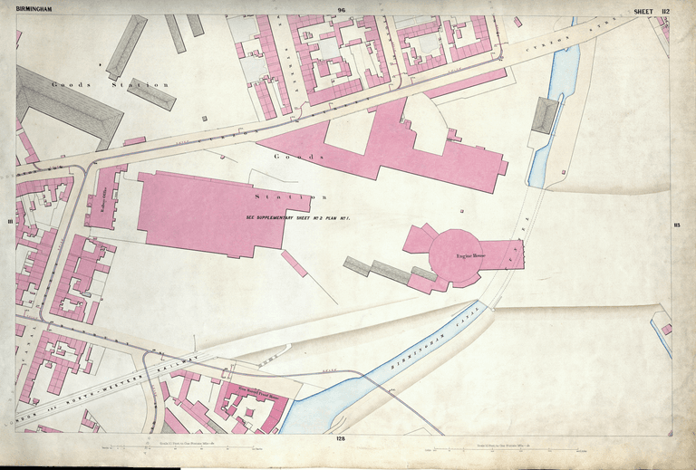
Old map: Ordnance Survey six-inch, reproduced with the permission of the National Library of Scotland (CC BY 4.0). Today: © OpenStreetMap contributors.
The southern end found a humble use. When Bordesley station opened in 1855, its cattle dock used that end as sidings. A painted sign reading “Bordesley Cattle Station”, with a pointing hand, was still visible on the parapet near Upper Trinity Street in 2013. Bordesley goods station closed in 1964.
Cut into pieces
On the Ordnance Survey plan of 1887–88 the viaduct still runs unbroken for about three-quarters of a kilometre, marked “Great Western (Disused) Railway”, all the way to the LNWR lines near Proof House Junction. By 1903 the spans over Liverpool Street and Great Barr Street had gone. The northern end beyond Montague Street was removed later, said to be in the 1950s.
About 450 metres survive today, in three pieces, from Bordesley to Montague Street.
Arches for hire
The arches are now workshops, garages and yards, and the deck is overgrown with scrub and young trees. Historic England counts it among the viaducts that “dominate the streetscape and vistas of Digbeth”, but it is not on the National Heritage List. Plans for a park on the deck have been floated, so far without result.
The name can confuse. HS2’s new approach viaduct into Curzon Street has also been called the Duddeston viaduct. The old one is easy to tell apart: after more than 170 years, it is still waiting for its first train to Curzon Street.
Why it mattered
Duddeston Viaduct is a monument to the battles between Victorian railway companies. Built to make a junction that Parliament had required, it was abandoned when the Great Western and the London & North Western each got their own central stations. Its arches still shape the streets of Digbeth.
Today
What replaced it
Not replaced. The northern section beyond Montague Street was removed, and its line is now industrial land beside the HS2 works.
What survives
About 450 m of the brick viaduct, in three pieces between Bordesley and Montague Street, with gaps at Liverpool Street and Great Barr Street. A painted sign, “Bordesley Cattle Station”, survived on the north parapet near Upper Trinity Street in 2013.
Today
The arches cross Upper Trinity Street, Allcock Street and Hack Street in Digbeth and end at Montague Street. They are let as workshops and garages; the deck is overgrown.
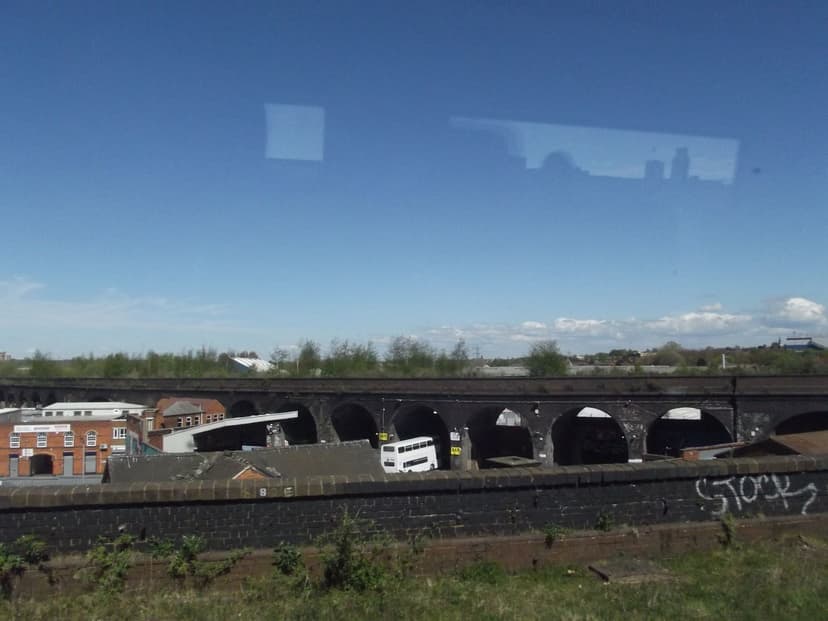
Then and now
Then · 26 April 2015
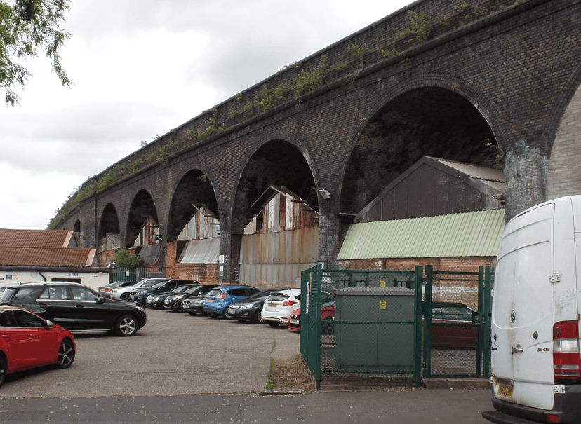
Now · 10 June 2019
Today
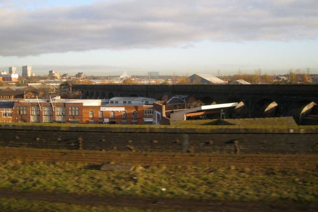
Disused railway viaduct, Bordesley, 4 December 2009Robin Stott, 4 December 2009. Geograph Britain and Ireland via Wikimedia Commons · CC BY-SA 2.0
Sources and further reading
Start date: 1846 (the date on a contract drawing; an artist’s publication) or 1848 (Historic England). Historic England’s 1848 is preferred. The GWR is said to have won control of the Birmingham & Oxford in 1848; the VCH says the company became part of the GWR in 1852.
Brunel’s report of February 1853 and the legal story are repeated by blogs; the primary source (probably the GWR minutes, or MacDermot’s History of the GWR) has not been seen.
Length: the surviving section measures about 450 m in OpenStreetMap, in three pieces; in 1887–88 the viaduct ran about 750 m. Figures of “325 metres” and “1,100 yards, 58 arches” in circulation are unsourced. The removal of the northern section “during the 1950s” rests on one artist’s publication. Whether the viaduct is on Birmingham’s local list has not been confirmed.
- A History of the County of Warwick, vol. 7: The City of Birmingham — Communications, pp. 25–42 — W. B. Stephens (ed.), Victoria County History, 1964. railways, fnn. 332–3
- Digbeth and Deritend, Birmingham: Outline Historic Area Assessment (Research Report 31/2018) — O. Bayer, P. Herring, R. Lane and J. Roethe (Historic England), 2018. p. 118
- Uncovering Digbeth’s heritage — Historic England Research magazine
- Bordesley station (photograph and map captions) — Warwickshire Railways
- Bordesley cattle station, Birmingham — Painted Signs and Mosaics (blog), 2013
- VIADUCT — Rich White (Counterwork / A3 Project Space), 2013
- Viaduct to nowhere — Mike Higginbottom
- Ordnance Survey 1:500 town plan of Birmingham, 1887–88, georeferenced — National Library of Scotland, 1888. ‘Great Western (Disused) Railway’
- OpenStreetMap data (Overpass and Nominatim), central Birmingham — OpenStreetMap contributors, 2026. ways 363476190–2
Comments
Comments will load here.