
4 pairs
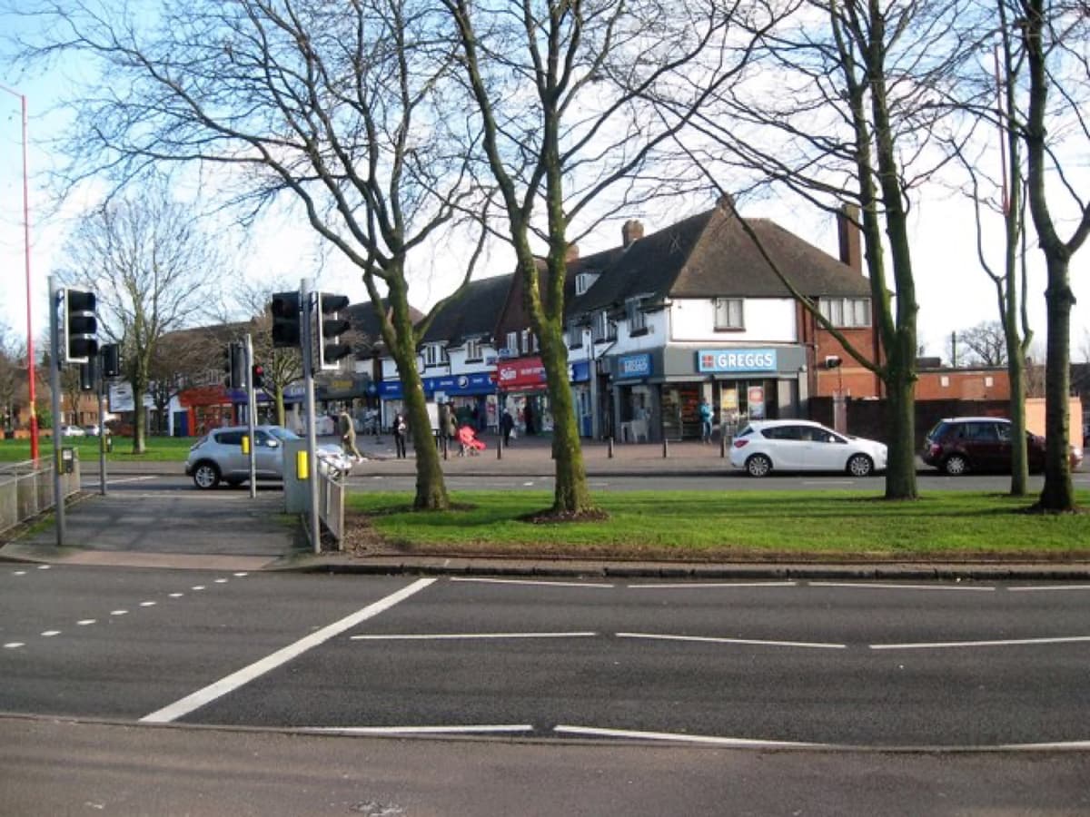
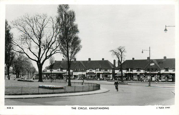
The Circle shops, c. 1950 and 2018
A cyclist rounds the railed garden in the middle of the Circle on a Tuck postcard of about 1950, with the gabled shop parade behind. The trees have grown and the railings have gone, but the parade still faces the roundabout.
Shops of the CircleThe 1950 picture
1950: Raphael Tuck & Sons postcard, c. 1950 (TuckDB Postcards). Public domain · 2018: Martin Richard Phelan, 2018 · CC BY-SA 2.0
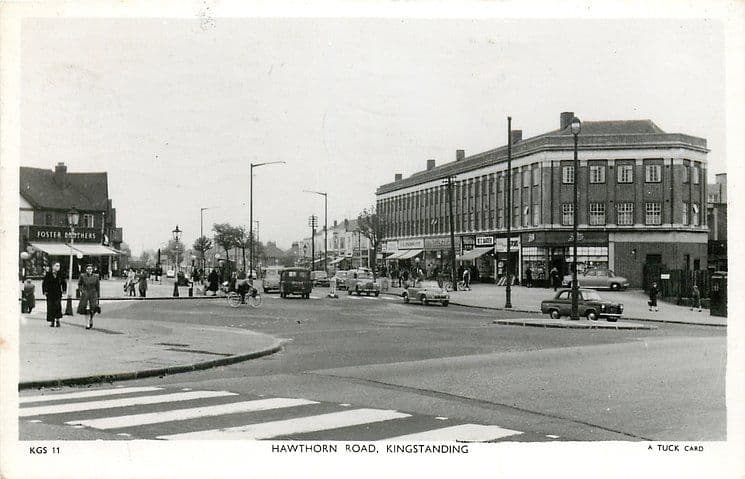
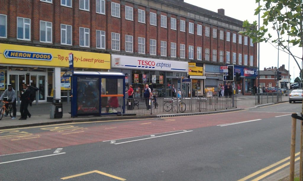
Hawthorn Road, c. 1950 and 2012
Shoppers and cyclists outside the big three-storey shopping block on Hawthorn Road, on a Tuck postcard of about 1950. The block still stands, its long rows of windows above a new generation of shopfronts.
Hawthorn Road shopsThe 1950 pictureThe 2012 picture
1950: Raphael Tuck & Sons postcard, c. 1950 (TuckDB Postcards). Public domain · 2012: Photo: Andy Mabbett, 2012 · CC BY-SA 4.0
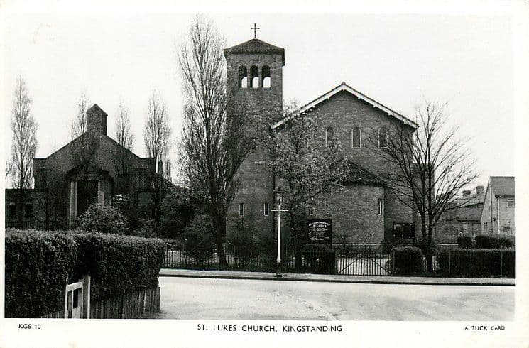
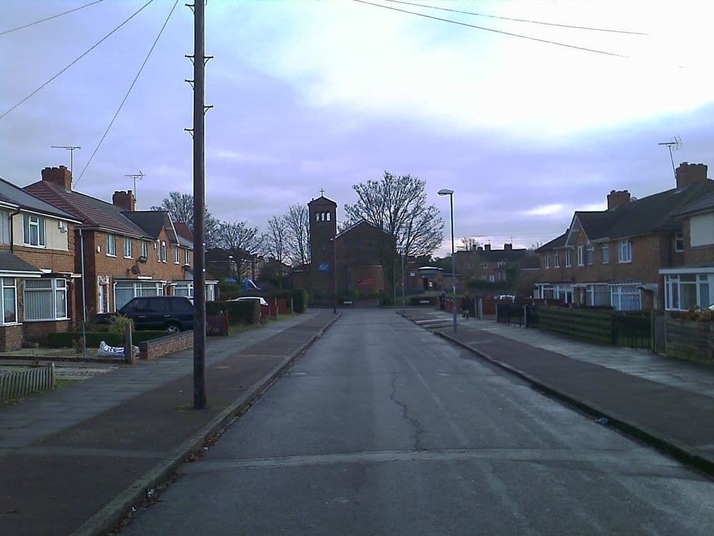
St Luke’s Church, c. 1950 and 2010
St Luke’s and its bell tower behind neat hedges and railings on a Tuck postcard of about 1950. In 2010 the tower still closes the view down Caversham Road.
St Luke’s ChurchThe 1950 pictureThe 2010 picture
1950: Raphael Tuck & Sons postcard, c. 1950 (TuckDB Postcards). Public domain · 2010: Image reproduced with permission of Chris Hillcox, Voices of Kingstanding.
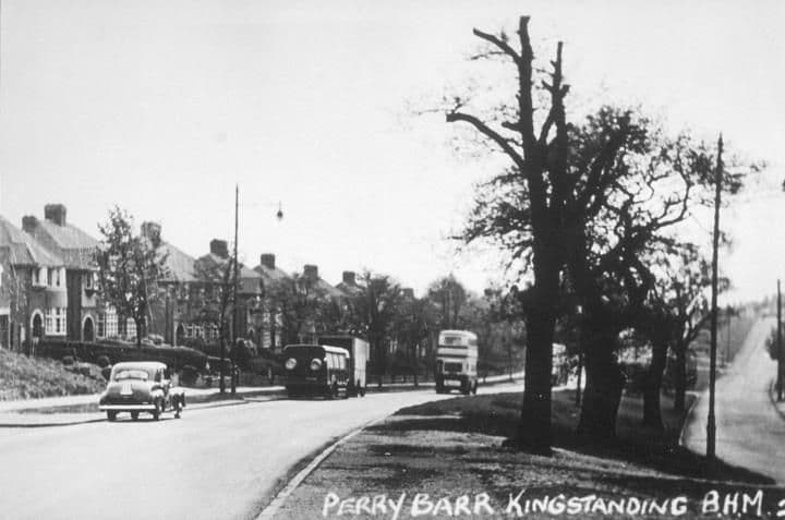
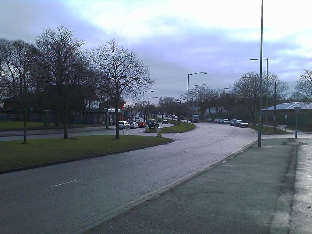
Kingstanding Road, 1950s and 2010
A car, a lorry and a double-decker bus on Kingstanding Road below the Hawthorn Road junction in the 1950s. The dual carriageway still curves away between wide grass verges and trees.
The 1950 pictureThe 2010 picture
1950: Library of Birmingham, Local Studies and History Department, lSH/ Warks Photo Survey WK-K10-0084 (3/1307) · 2010: Image reproduced with permission of Chris Hillcox, Voices of Kingstanding.
Help us finish the set
These archive photographs don’t have a partner yet. If you pass one of these spots, stand where the old photographer stood, take the view today and send it to us — we’ll pair them up here, credited to you.
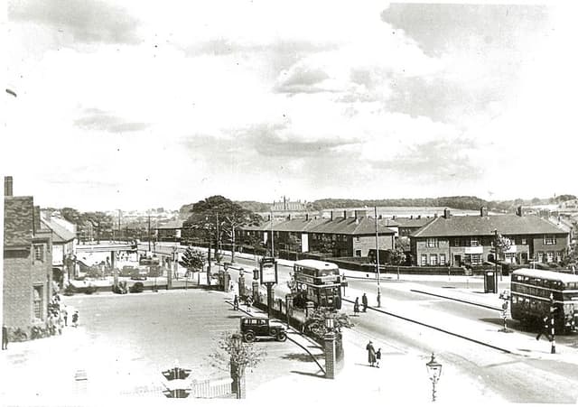 The Crossways pub and College Road, 19381938 · The Crossways, College Road
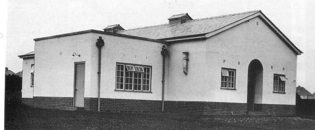 The Kingstanding Settlement buildingDate unknown · Kingstanding Settlement, Kingstanding
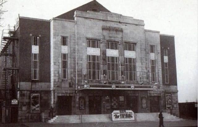 The Mayfair cinema, College RoadDate unknown · Mayfair cinema, 482 College Road, Perry Common
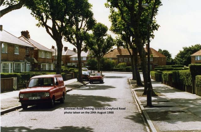 Binstead Road looking towards Crayford Road, 198829 August 1988 · Binstead Road, Kingstanding
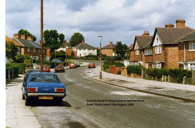 Dulwich Road looking towards Warren Farm Road, 198829 August 1988 · Dulwich Road, Kingstanding
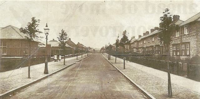 Hornsey Road, 19481948 · Hornsey Road, Kingstanding
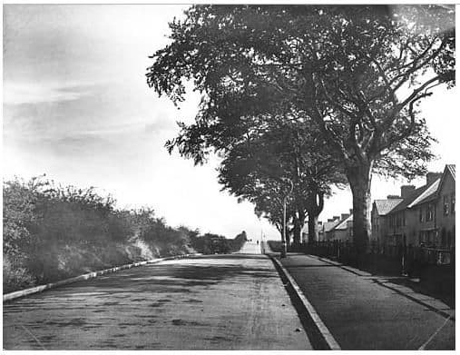 Rough Road, 19321932 · Rough Road, Kingstanding
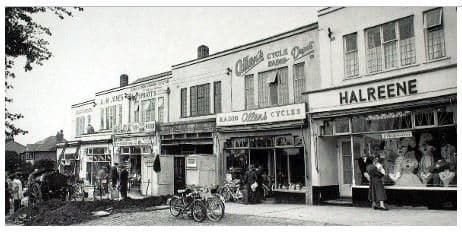 Hawthorn Road shops, 19571957 · Hawthorn Road shops, Kingstanding
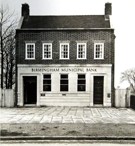 Birmingham Municipal Bank, Kingstanding Road, 19371937 · Birmingham Municipal Bank, Kingstanding Road, Kingstanding
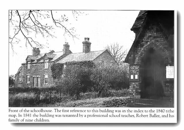 The old schoolhouse by the church, OscottPhotograph undated; building recorded 1840 · Shady Lane, Old Oscott
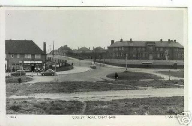 Queslett Road, Great Barr (postcard)c. late 1950s–1960s · Queslett Road, Great Barr
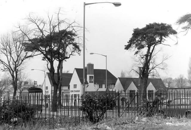 The King Charles pub, seen through the railingsUndated (probably 1960s–70s) · Kings Road
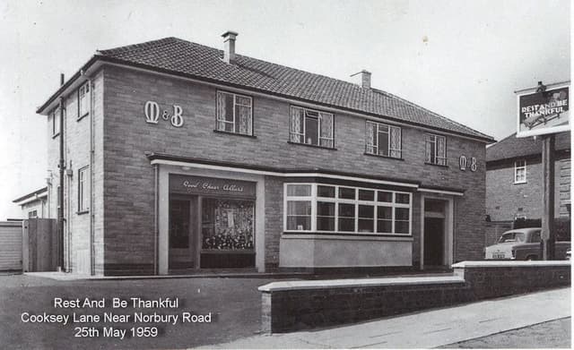 The Rest and Be Thankful, Cooksey Lane, 195925 May 1959 · Cooksey Lane near Norbury Road
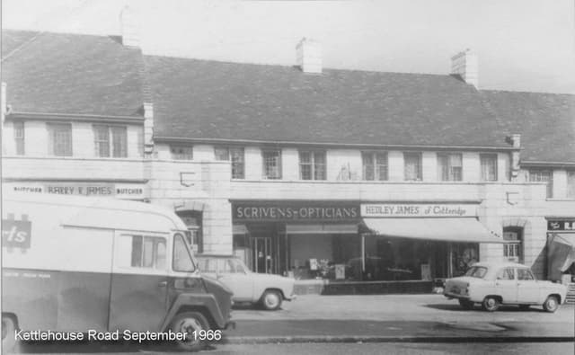 Shops on Kettlehouse Road, September 1966September 1966 · Kettlehouse Road
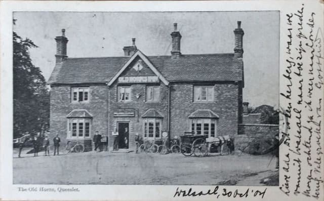 The Old Horns, Queslett, 1904 (postcard)Posted 30 October 1904 · The Old Horns, Queslett
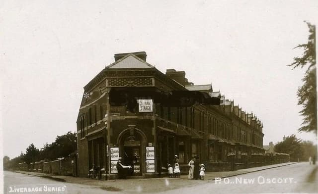 The post office at New Oscott, 1903 (postcard)1903 · Kings Road and Chester Road corner, New Oscott
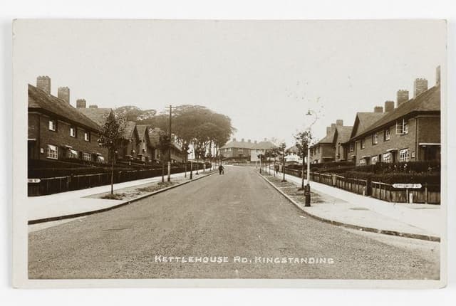 Kettlehouse Road, Kingstanding (postcard)c. 1930s · Kettlehouse Road, Kingstanding
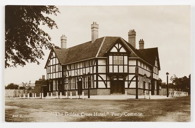 The Golden Cross Hotel, Perry Common (postcard)c. 1930s · The Golden Cross, Perry Common
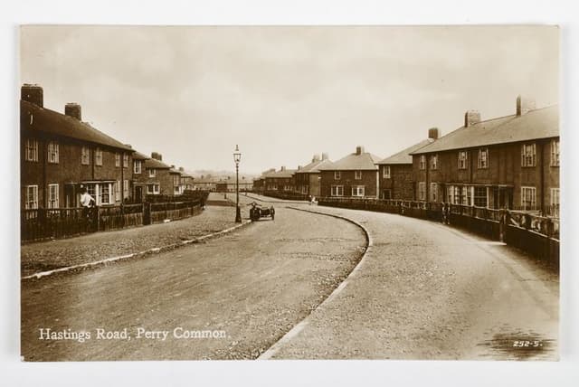 Hastings Road, Perry Common (postcard)c. 1930s · Hastings Road, Perry Common
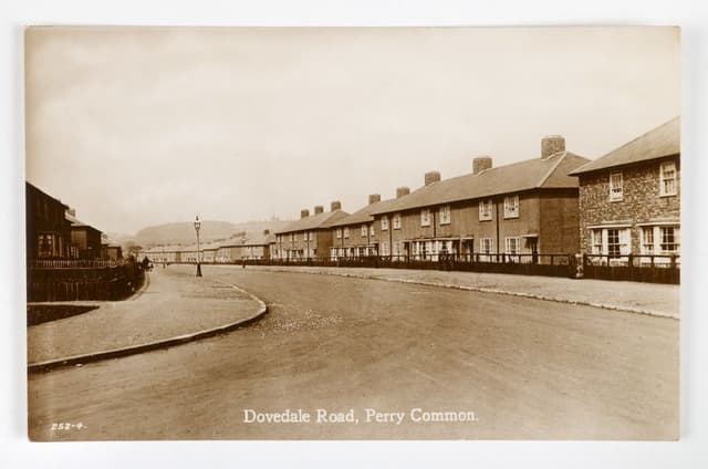 Dovedale Road, Perry Common (postcard)c. 1930s · Dovedale Road, Perry Common
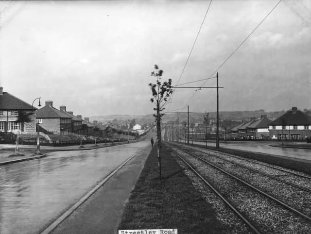 Streetly Road1930 · Streetly Road, Kingstanding
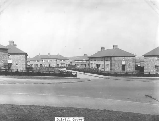 Dulwich Grove1931 · Dulwich Grove, Kingstanding
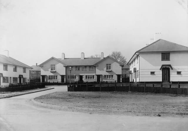 Leyton Grove1931 · Leyton Grove, Kingstanding
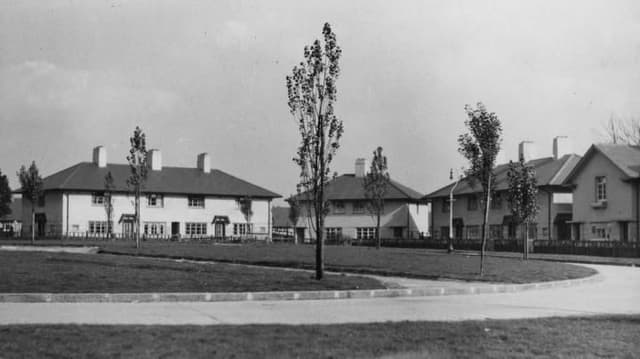 Greenwood Place1932 · Greenwood Place, Kingstanding
Comments
Comments will load here.