
 Nature reserve
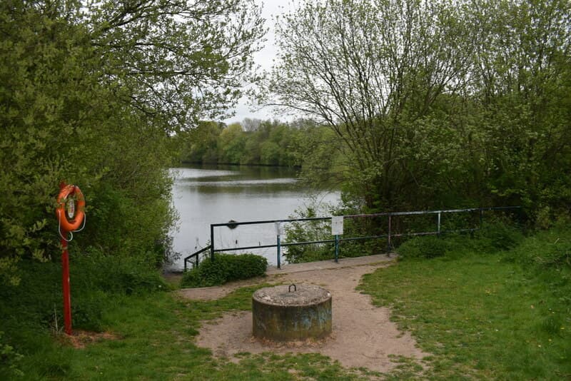
Queslett Nature Reserve
Woodland, wildflowers and a lake in an old sand quarry off Queslett Road — on the land of Booth’s Farm, where a notorious forger was arrested in 1812. Home of Frylan Rock.
Martin Richard Phelan, 2022 · CC BY-SA 2.0
Read more →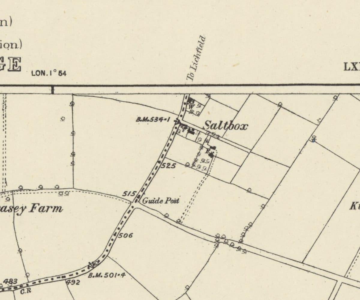 Lost hamlet
Saltbox
A handful of roadside cottages on the old road from Queslett towards Lichfield, carved out of Perry Barr Common after 1814 and still lived in when the estate arrived.
Ordnance Survey six-inch map, surveyed 1882–83, published 1884 · Out of copyright
Read more →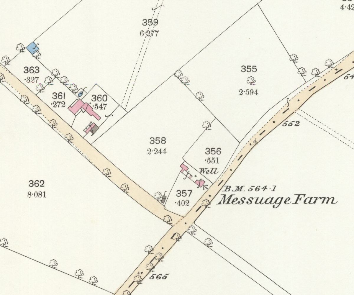 Lost farm
Messuage Farm
A 62-acre farm carved from Great Barr Common whose name headed the 1930 plan for the Kettlehouse estate, then quietly dropped off the map.
Ordnance Survey 25-inch map, surveyed 1882–83 (published 1884) · Out of copyright
Read more →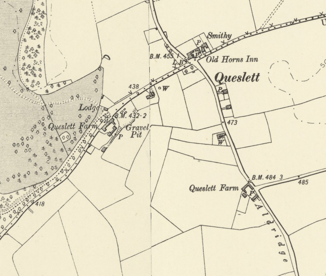 Lost lodge
Queslett Lodge and old Queslett
Queslett Lodge guarded the south-east drive to Great Barr Hall from about 1800, facing Queslett Farm and near the Old Horns. Its sister, Handsworth Lodge, still stands.
Ordnance Survey six-inch map, revised 1901 · Out of copyright
Read more →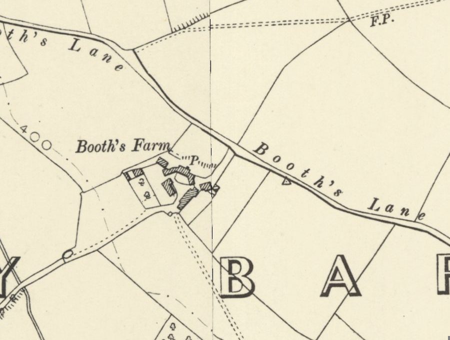 Lost farm
Booth’s Farm and William Booth
William Booth forged banknotes at Booth’s Farm until a raid in March 1812; his hanging took three attempts. The farmhouse stood until 1974 and its footings survive.
Ordnance Survey six-inch map, revised 1901 · Out of copyright
Read more →
Looking after these places. These pages tell the story of Kingstanding’s places. To see what Kingstanding Together is doing for them, visit Kingstanding Green Spaces and Heritage & Conservation.
The Kingstanding we’ve lost
Not everything survived. The Woolworths on Hawthorn Road, shops and pubs that anchored the parades, corners of the old estate remade over ninety years — much of it lives now only in memory and family photographs. Gathering it before it’s gone for good is exactly what this group is for, so the Odeon isn’t the only piece of Kingstanding we manage to save.
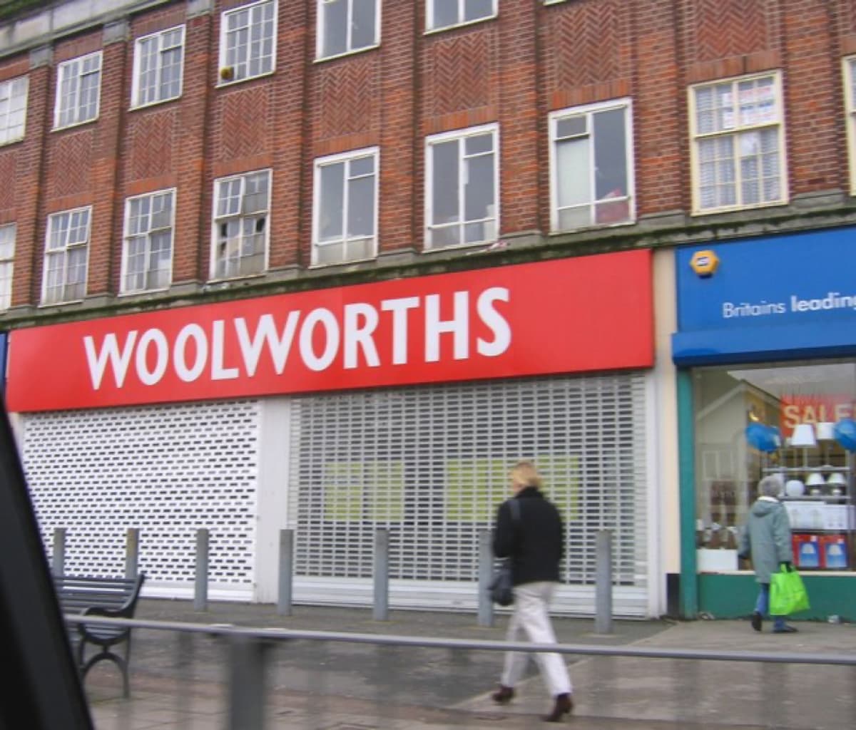 Roy Hughes · CC BY-SA 2.0
History sourced from Historic England’s listing and scheduling records, the Birmingham history research of Bill Dargue, and Wikipedia. Photographs are used under Creative Commons licences and credited to their photographers — full details on our photo credits page.