
 Ancient monument
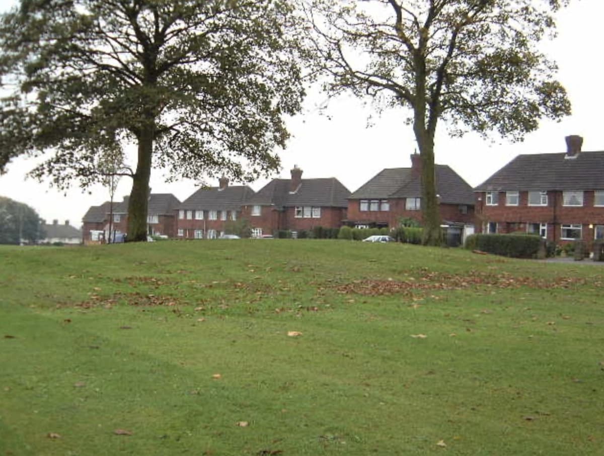
The King’s Standing mound
The low grassy mound that gave Kingstanding its name — a scheduled ancient monument beside the Roman road, wrapped in legends of treasure and King Charles I.
Kingstanding Together · Own work
Read more →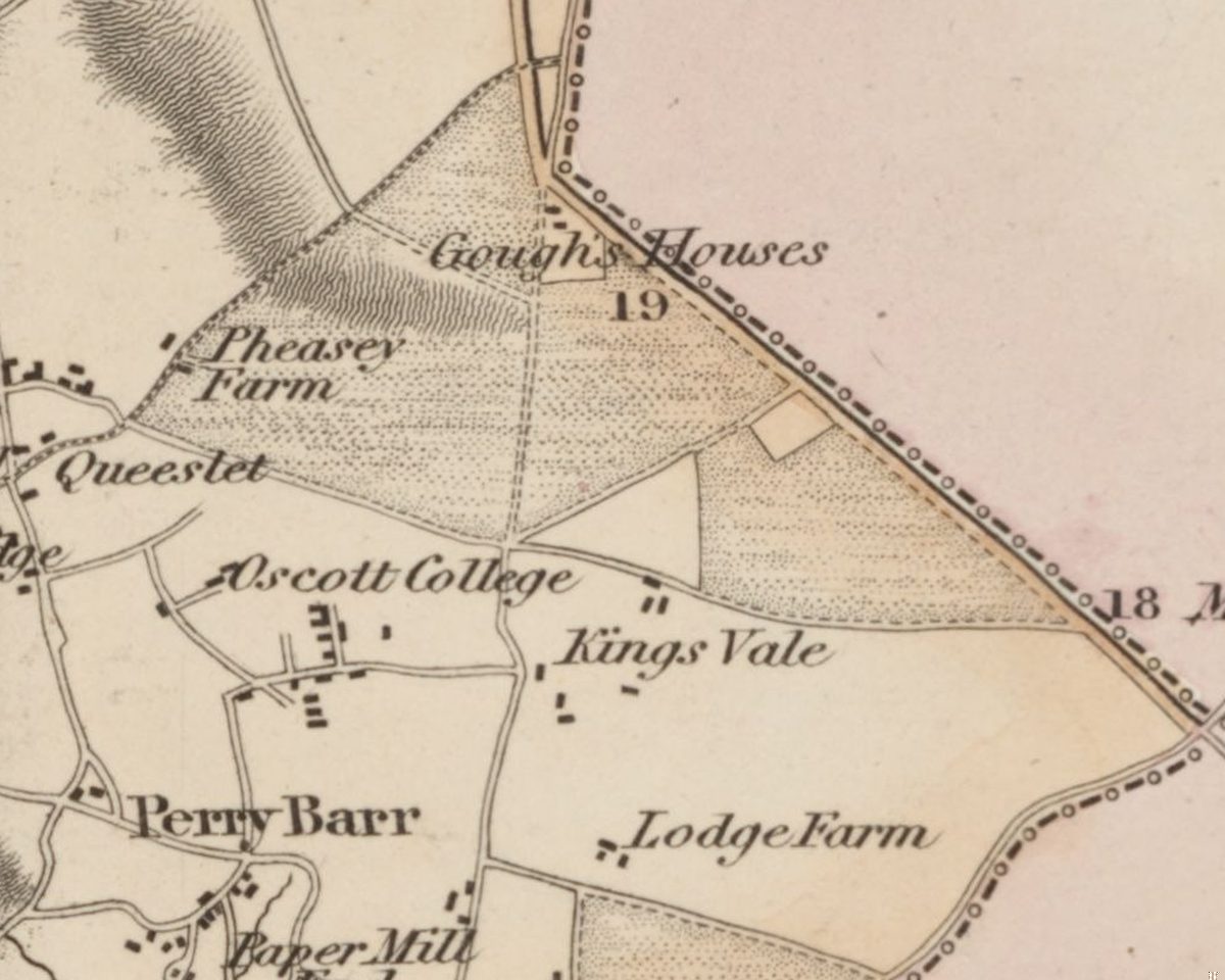 Lost common
Perry Barr Common and the Warrens
Before the houses, before the farms, Kingstanding was open heath and rabbit warren. An Act of 1811 and an award of 1814 turned it into the straight fields the estate was built on.
C. Greenwood, Map of the County of Stafford, surveyed 1819–20, published 1820 · Out of copyright
Read more →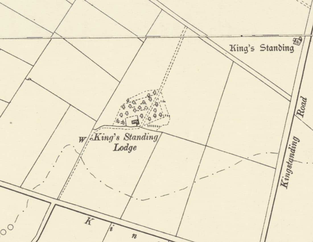 Lost house
King’s Standing Lodge and the Warren Houses
A lonely warrener’s house on the heath, on the map by 1775 and let with 300 acres of rabbit warren in 1820. It stood by today’s Bandywood Crescent until about 1930.
Ordnance Survey six-inch map, revised 1901, published 1904 · Out of copyright
Read more →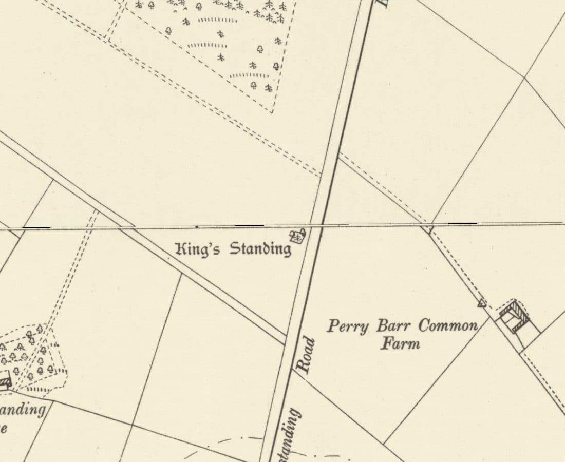 Roman road
Icknield Street
The Roman road from Wall to Metchley ran along the line of Kingstanding Road, past the King’s Standing mound and Romans Field.
Ordnance Survey six-inch map, revised 1901 · Out of copyright
Read more →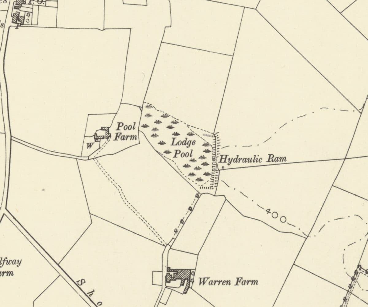 Lost farm
Warren Farm and Lodge Pool
A lodge on the rabbit heath that became Warren Farm, with Lodge Pool, a hydraulic ram and Pool Farm beside it, all now under the Warren Farm estate.
Ordnance Survey six-inch map, revised 1901 · Out of copyright
Read more →
Looking after these places. These pages tell the story of Kingstanding’s places. To see what Kingstanding Together is doing for them, visit Kingstanding Green Spaces and Heritage & Conservation.
The Kingstanding we’ve lost
Not everything survived. The Woolworths on Hawthorn Road, shops and pubs that anchored the parades, corners of the old estate remade over ninety years — much of it lives now only in memory and family photographs. Gathering it before it’s gone for good is exactly what this group is for, so the Odeon isn’t the only piece of Kingstanding we manage to save.
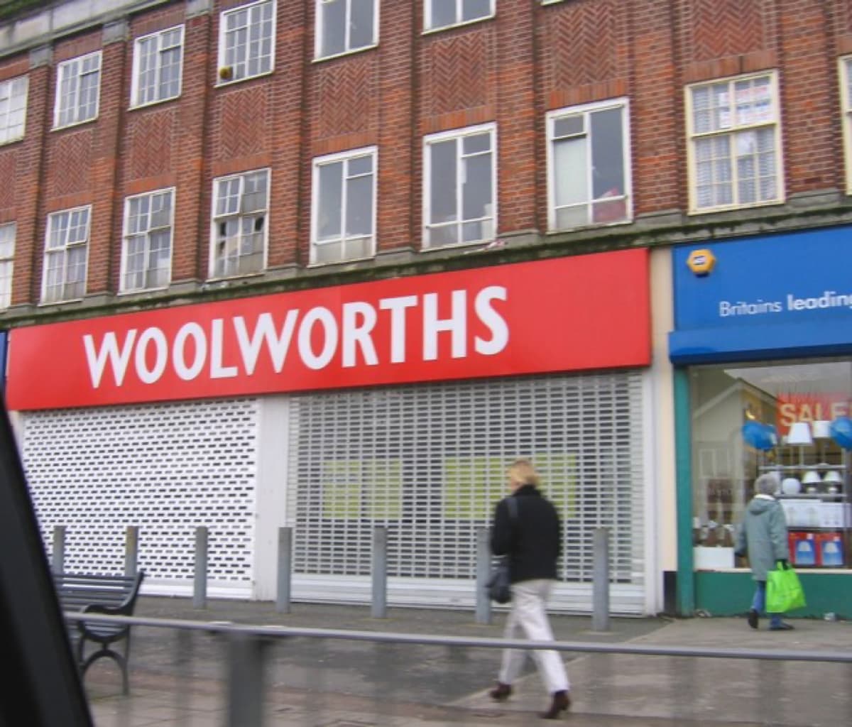 Roy Hughes · CC BY-SA 2.0
History sourced from Historic England’s listing and scheduling records, the Birmingham history research of Bill Dargue, and Wikipedia. Photographs are used under Creative Commons licences and credited to their photographers — full details on our photo credits page.