
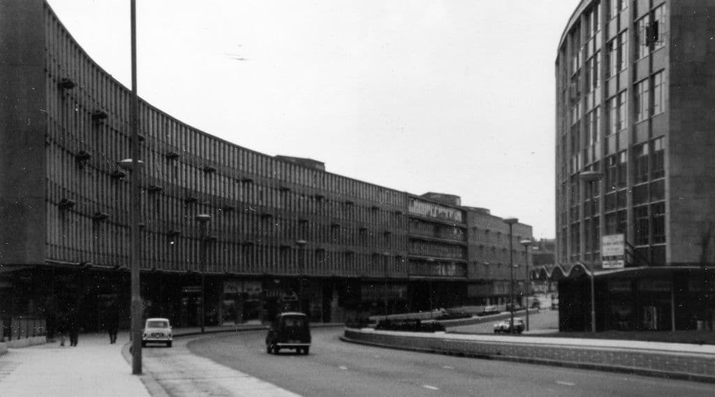
What was here?
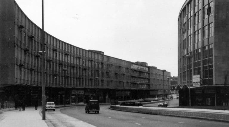
The first section of the Inner Ring Road, a raised dual carriageway with car parks beneath, running from Holloway Circus towards the Bull Ring along the line of old Smallbrook Street.
History
Building began in 1957: on 8 March the Minister of Transport, Harold Watkinson, set off a charge to bring down a wall. On 8 April 1959 the Hill Street to Hurst Street subway opened under the new road, which Keith Jordan describes as the first in the country to be the only way for pedestrians to cross a road. On 11 March 1960 Ernest Marples opened the stretch from Horse Fair to Queen’s Drive.
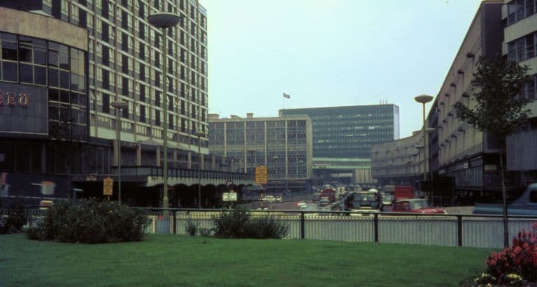
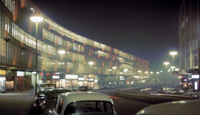
The road was built above natural ground level with parking underneath. Developers were hard to attract, so John Laing and Jo Godfrey took the frontage sites; the south side became James A. Roberts’s long, narrow Ringway Centre, its shape forced by the limited land the council had bought. In 1977 an engineer’s report for the Sunday Times claimed Smallbrook Ringway could collapse within a decade.
Why it mattered
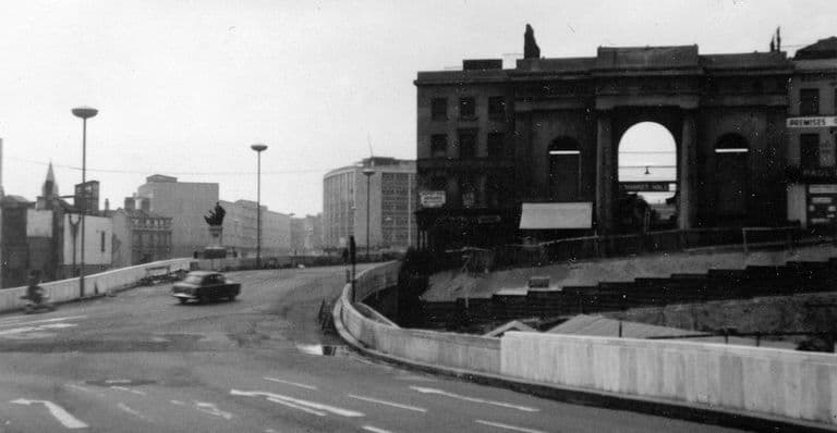
Smallbrook was the showpiece: the first piece of Manzoni’s road and the model for the shops and offices meant to line it. It was also the first place the city began to undo, lowering the road at Hill Street.
The same spot, then and now
1888–1913
Today
Old map: Ordnance Survey six-inch, reproduced with the permission of the National Library of Scotland (CC BY 4.0). Today: © OpenStreetMap contributors.
More pictures
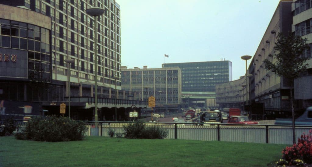
Looking east along Smallbrook Ringway from Holloway Circus, 19631963. John Ball, via Wikimedia Commons · CC BY-SA 4.0 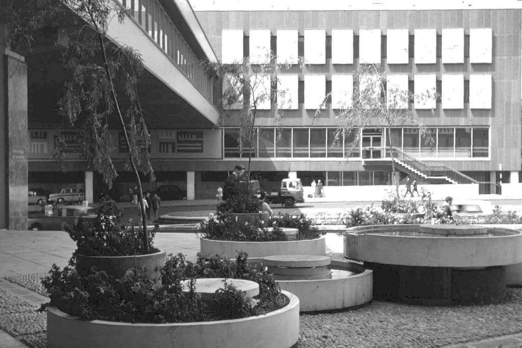
Pedestrian walkway over Smallbrook Ringway, 19641964. John Ball via Wikimedia Commons · CC BY-SA 4.0
What’s there now
What survives
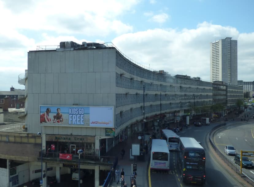
The road line and name survive. The Ringway Centre still lines the south side, but was approved for demolition in 2023–24.
Today
An unclassified surface street between New Street station and Chinatown, with surface crossings.
Then and now
Then · May 1961
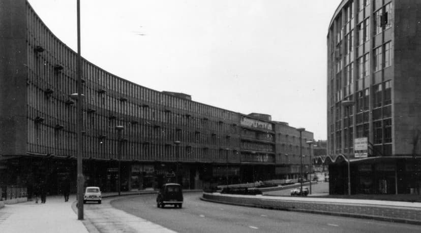
Now · 7 April 2017
Key dates
- 29 May 1977 — “City’s ringroad falling apart”After cracks close the Masshouse Circus underpass in mid-May, the Sunday Times publishes an engineer’s report predicting that Masshouse Circus and Smallbrook Ringway could collapse within a decade. An official interim report calls the road structurally sound.
Sources and further reading
The year the Hill Street subway was removed (1993 is given on Wikipedia, citing the Academy of Urbanism) has not been confirmed. The status of the Ringway Centre in 2026 is not established.
- Ringway: The Birmingham Inner Ring Road Stage 1 (film, 1963) — catalogue record — Media Archive for Central England, MACE, University of Lincoln, 1963
- The Inner Ring Road, Underpasses & Murals of Birmingham — Keith M. Jordan, Sutton Coldfield Local History Research Group, 2006. pp. 2–3
- Replanning post-war Birmingham: process, product and longevity — Peter J. Larkham, architectura 46, 2016
- A History of the County of Warwick, vol. 7: The City of Birmingham — The Growth of the City, pp. 4–25 — W. B. Stephens (ed.), Victoria County History, 1964
- Memorandum by Birmingham City Council (WTC 16), Walking in Towns and Cities inquiry — Birmingham City Council, House of Commons Environment, Transport and Regional Affairs Committee, HC 167, 2001
- Ring Road: Birmingham and the Collapse of the Motor City Ideal in 1970s Britain — Simon Gunn, The Historical Journal 61 (2018), 227–248 (author accepted manuscript, University of Leicester repository), 2018
- Ringway to ruin: Birmingham landmark set for demolition — Twentieth Century Society, 2023
- Court blows for Birmingham and London anti-demolition campaigners — Architects’ Journal, 2024
Comments
Comments will load here.