
What was here?
A large elevated roundabout on the eastern side of the Inner Ring Road, with the ring road passing through beneath it. The space underneath was used for most of its life as a council car park.
History
The contract to build Masshouse Circus was let in October 1963 to Bryant Civil Engineering. In mid-May 1977 cracks were found and the underpass was closed for checks. On 29 May the Sunday Times published an engineer’s report predicting that Masshouse Circus and Smallbrook Ringway could collapse within a decade. An official interim report found the road sound but admitted poor workmanship in places, Masshouse Circus among them. The Sunday Times went on to allege that Bryant had won the Masshouse contract over a lower tender; in April 1978 three Bryant directors were convicted of corruption over council contracts.
The local historian Keith Jordan noted that no attempt was ever made to brighten up the space under the circus, as the council did at other junctions.
Why it mattered
Masshouse Circus cut the city centre off from the streets to the east. When Birmingham decided after the Highbury Initiative of 1988 to break the “concrete collar”, Masshouse was the first big piece to go, opening the way for the Eastside regeneration.
Why it disappeared
Road building · Redevelopment
The raised junction was seen as a barrier between the city core and Eastside. It was demolished in 2002 and the road was lowered to street level as a tree-lined boulevard with surface crossings and a bus interchange.
The same spot, then and now
1888–1913
Today
Old map: Ordnance Survey six-inch, reproduced with the permission of the National Library of Scotland (CC BY 4.0). Today: © OpenStreetMap contributors.
What’s there now
What replaced it
A street-level Moor Street Queensway and James Watt Queensway, and new buildings on the Masshouse development land.
What survives
Nothing of the circus itself. The roads that met there still follow roughly the old lines at street level.
Today
Street-level roads and new apartment and hotel blocks between Moor Street Queensway and Masshouse Lane.
Then and now
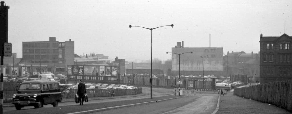
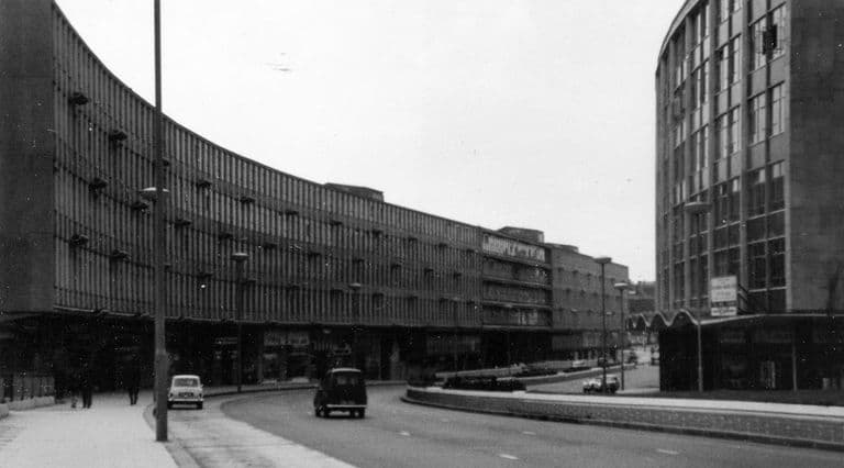
Then · 1964
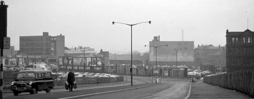
Now · 21 October 2022
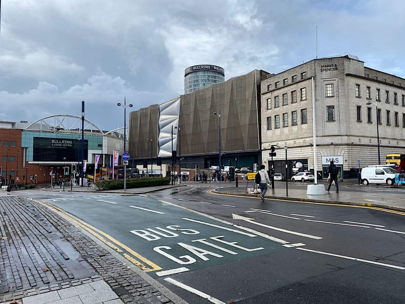
Today
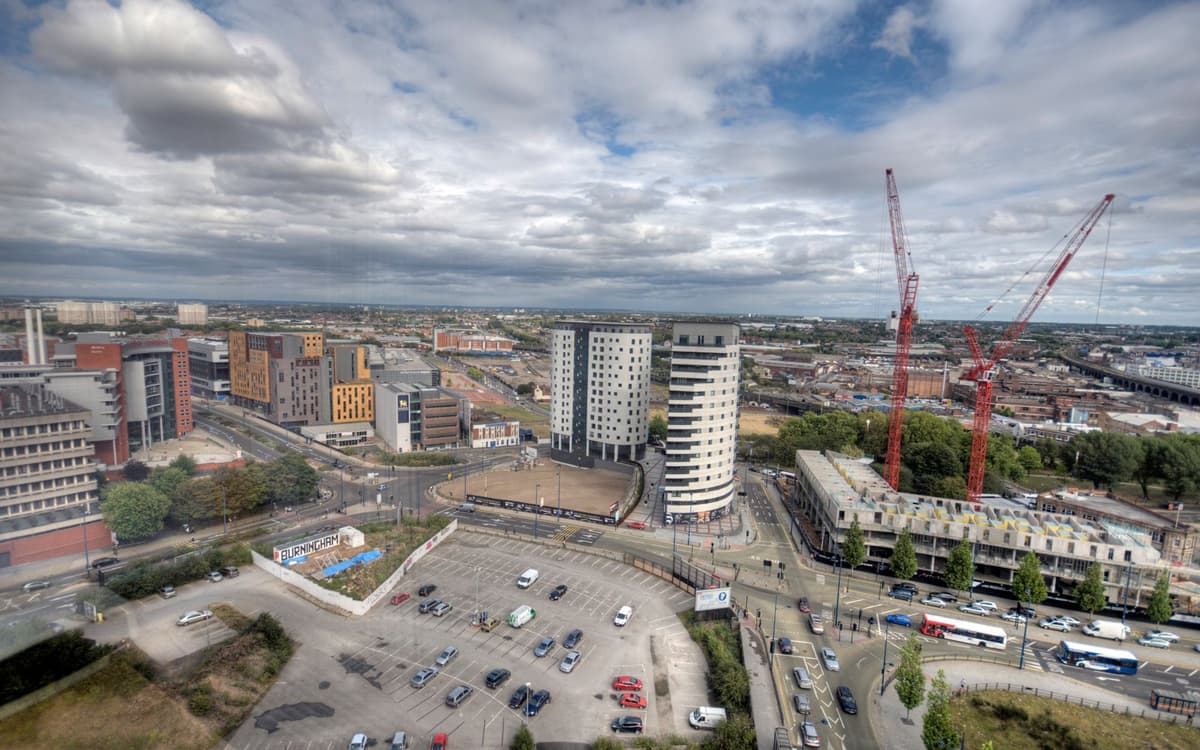
Eastside from the McLaren Building, 11 August 2011Bs0u10e01, 11 August 2011. Wikimedia Commons · CC BY-SA 3.0
Key dates
- October 1963 — Masshouse Circus contract awardedThe construction contract for Masshouse Circus goes to Bryant Civil Engineering. In 1977 the Sunday Times alleged that Bryant had been preferred to a lower tender.
- 29 May 1977 — “City’s ringroad falling apart”After cracks close the Masshouse Circus underpass in mid-May, the Sunday Times publishes an engineer’s report predicting that Masshouse Circus and Smallbrook Ringway could collapse within a decade. An official interim report calls the road structurally sound.
Sources and further reading
The Masshouse Circus section was probably in use by June 1965, when (according to Birmingham Post reports cited on Wikipedia) the Carrs Lane to Central Fire Station section opened; that report has not been read. Some accounts say 2002–03 for the removal: the circus was demolished in 2002 and the remodelled roads were finished in 2003.
- Ring Road: Birmingham and the Collapse of the Motor City Ideal in 1970s Britain — Simon Gunn, The Historical Journal 61 (2018), 227–248 (author accepted manuscript, University of Leicester repository), 2018. pp. 25–28 of accepted manuscript
- The Inner Ring Road, Underpasses & Murals of Birmingham — Keith M. Jordan, Sutton Coldfield Local History Research Group, 2006. p. 23
- The city as artwork: the dismemberment of modern Birmingham — Phil Jones, University of Birmingham, 2005. Figure 5
- Replanning post-war Birmingham: process, product and longevity — Peter J. Larkham, architectura 46, 2016
- Masshouse Circus: 50p a chunk — Birmingham Friends of the Earth, 2002
- Masshouse — Wikipedia — Wikipedia contributors, Wikipedia
Comments
Comments will load here.